Llyn Pant-gwyn

Lake, Pool, Pond, Freshwater Marsh in Flintshire

Wales

Llyn Pant-gwyn

Truck on the A541 DG Roberts' Volvo FM (SA13 DAY) passing a layby on the A541 near to Ysceifiog.
Truck on the A541 Credit: David Dixon

Llyn Pant-gwyn, located in the county of Flintshire, Wales, is a picturesque freshwater marsh encompassing an area of approximately 2 hectares. It is often referred to as a lake, pool, or pond due to its size and still waters. This tranquil natural feature is nestled amidst rolling hills and verdant meadows, offering visitors a peaceful retreat.

The Llyn Pant-gwyn is primarily fed by rainfall, with no significant inflows or outflows observed. Its calm, crystal-clear waters are teeming with an array of aquatic plants, including lilies and reeds, which provide a vibrant and thriving ecosystem for various species of fish, insects, and birds.

The surrounding landscape of the marsh is a combination of wet grassland and woodland, creating an idyllic habitat for both terrestrial and aquatic fauna. Various bird species, such as swans, ducks, and herons, can often be spotted gracefully gliding across the water or nesting in the reeds. The marsh is also known to support a diverse range of insect life, including dragonflies and water beetles.

Llyn Pant-gwyn serves as a haven for nature enthusiasts and offers numerous recreational activities. Visitors can indulge in birdwatching, taking leisurely walks along the marsh's perimeter, or picnicking on the grassy banks. The tranquil ambiance and stunning natural beauty make it a popular destination for photography enthusiasts as well.

Overall, Llyn Pant-gwyn is a captivating freshwater marsh that showcases the beauty and biodiversity of Flintshire. Its serene waters and surrounding landscape provide a sanctuary for a variety of flora and fauna, offering visitors an opportunity to connect with nature and appreciate the wonders of this remarkable ecosystem.

If you have any feedback on the listing, please let us know in the comments section below.

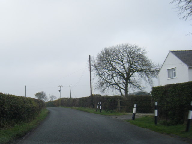
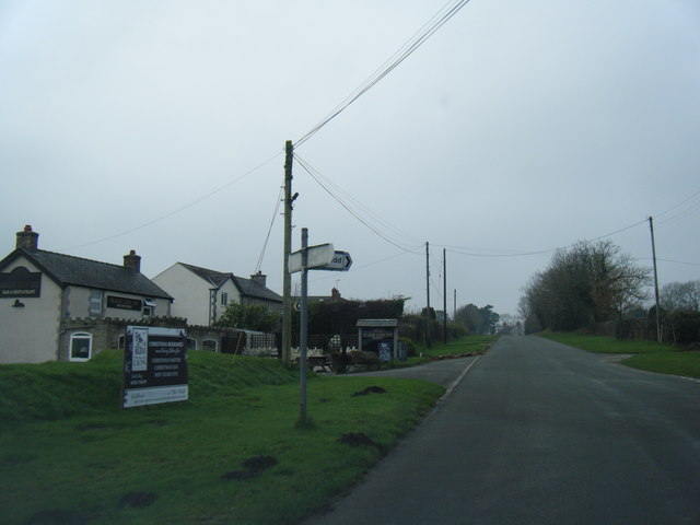
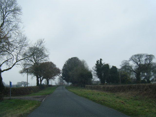
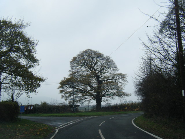
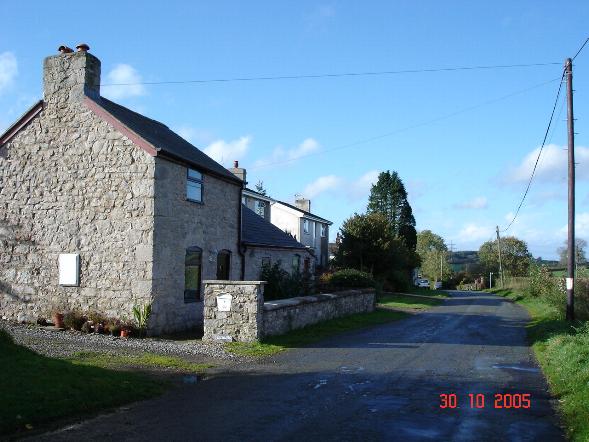
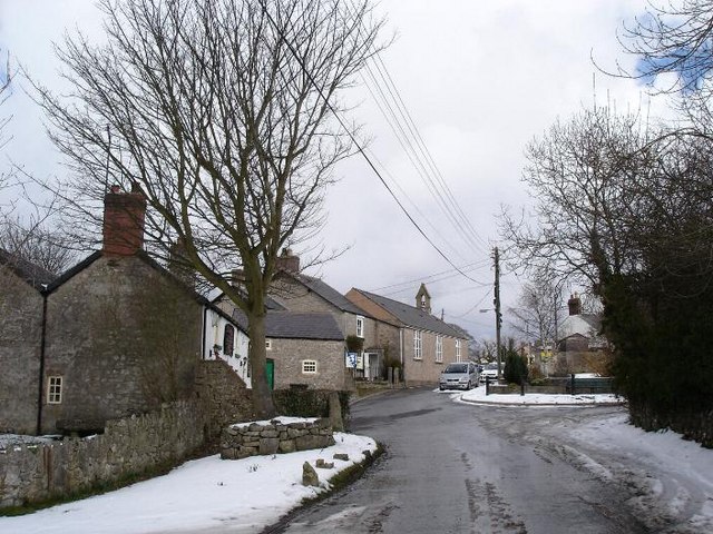
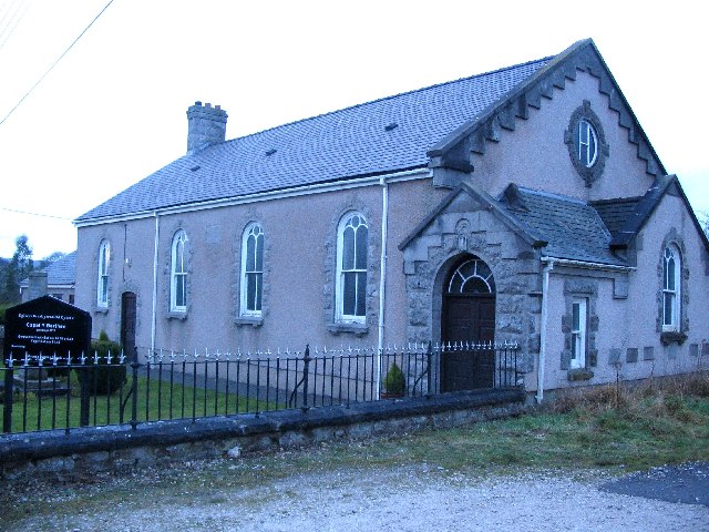
Llyn Pant-gwyn Images

Images are sourced within 2km of 53.241222/-3.2697364 or Grid Reference SJ1572. Thanks to Geograph Open Source API. All images are credited.

Truck on the A541 DG Roberts' Volvo FM (SA13 DAY) passing a layby on the A541 near to Ysceifiog.
Truck on the A541
DG Roberts' Volvo FM (SA13 DAY) passing a layby on the A541 near to Ysceifiog.
Afonwen, Denbigh Road (A541) The A541 runs for 26 miles, linking St Asaph with Wrexham. Its northern end starts at the crossroads in the middle of the village of Trefnant (just south of St Asaph). It ends at Wrexham, where it joins the B5101 road. On the way, it passes the town of Mold and also passes through many villages.
Afonwen, Denbigh Road (A541)
The A541 runs for 26 miles, linking St Asaph with Wrexham. Its northern end starts at the crossroads in the middle of the village of Trefnant (just south of St Asaph). It ends at Wrexham, where it joins the B5101 road. On the way, it passes the town of Mold and also passes through many villages.
A541 near Swan Wood The A541 runs for 26 miles, linking St Asaph with Wrexham. Its northern end starts at the crossroads in the middle of the village of Trefnant (just south of St Asaph). It ends at Wrexham, where it joins the B5101 road. On the way, it passes the town of Mold and also passes through many villages.
A541 near Swan Wood
The A541 runs for 26 miles, linking St Asaph with Wrexham. Its northern end starts at the crossroads in the middle of the village of Trefnant (just south of St Asaph). It ends at Wrexham, where it joins the B5101 road. On the way, it passes the town of Mold and also passes through many villages.
A541, Melin y Wern The A541 runs for 26 miles, linking St Asaph with Wrexham. Its northern end starts at the crossroads in the middle of the village of Trefnant (just south of St Asaph). It ends at Wrexham, where it joins the B5101 road. On the way, it passes the town of Mold and also passes through many villages.
A541, Melin y Wern
The A541 runs for 26 miles, linking St Asaph with Wrexham. Its northern end starts at the crossroads in the middle of the village of Trefnant (just south of St Asaph). It ends at Wrexham, where it joins the B5101 road. On the way, it passes the town of Mold and also passes through many villages.
Vintage Bentley In British racing green livery. Parked across the road from the Fox Inn, Ysceifiog.
Vintage Bentley
In British racing green livery. Parked across the road from the Fox Inn, Ysceifiog.
Lixwm village shop Located in the car park of the Crown Inn in what appears to be a former garage.
Lixwm village shop
Located in the car park of the Crown Inn in what appears to be a former garage.
A541 looking east
A541 looking east
A541 near Sarn Farm
A541 near Sarn Farm
Bridleway leading from Calcot Hall Heading for a minor road near Hafod Dedw Farm
Bridleway leading from Calcot Hall
Heading for a minor road near Hafod Dedw Farm
Stone stile On a footpath from a minor lane near Ash Farm.  There are several of these stiles recently built in this traditional style through the boundaries between fields on this route
Stone stile
On a footpath from a minor lane near Ash Farm. There are several of these stiles recently built in this traditional style through the boundaries between fields on this route
Bridleway from Ysceifiog Where it crosses a minor lane near Ash Farm, heading east through fields towards a road between Lixwm and Brynford
Bridleway from Ysceifiog
Where it crosses a minor lane near Ash Farm, heading east through fields towards a road between Lixwm and Brynford
Enclosed path Heading south east between fields from the junction of a footpath west of Lixwm
Enclosed path
Heading south east between fields from the junction of a footpath west of Lixwm
Footpath heading towards Coed-y-Llan wood A diversion through the edge of the more recently extended graveyard beside St Mary's Church, Ysceifiog.  The Clwydian Hills can be seen in the distance on the right
Footpath heading towards Coed-y-Llan wood
A diversion through the edge of the more recently extended graveyard beside St Mary's Church, Ysceifiog. The Clwydian Hills can be seen in the distance on the right
Lane near Hafod-dew
Lane near Hafod-dew
Babell village and Black Lion Inn
Lane at Waen-isaf
Lane at Waen-isaf
Lane junction at Groes Faen Bach
Coed D'Arcis Car sales business near Coed D'Arcis.
Coed D'Arcis
Car sales business near Coed D'Arcis.
Show me another place!

Llyn Pant-gwyn is located at Grid Ref: SJ1572 (Lat: 53.241222, Lng: -3.2697364)

Unitary Authority: Flintshire

Police Authority: North Wales

What 3 Words

///basically.modem.misty. Near Holywell, Flintshire

Related Wikis

Babell

Babell is a hamlet in Flintshire, Wales. It is part of the community of Ysgeifiog. The hamlet takes its name from the Babell Methodist chapel, built in...

Ysceifiog

Ysceifiog, also spelled as Ysgeifiog, is a village, community and parish in Flintshire, Wales. It lies on a back road just north of the A541 highway between...

Ddol Uchaf

Ddol Uchaf (also known as Y Ddol Uchaf) is a Site of Special Scientific Interest located near Ysceifiog, Flintshire, Wales. It has been selected as an...

Lixwm

Lixwm (Welsh: Licswm) is a small village in Flintshire, Wales. It is part of the community of Ysceifiog. Lixwm was formerly a mining village, and one explanation...

Nearby Amenities

Located within 500m of 53.241222,-3.2697364
Power: pole
Lat/Long: 53.2448365/-3.27351
Power: pole
Lat/Long: 53.2444753/-3.2725632
Power: pole
Lat/Long: 53.2370292/-3.2705656
Power: pole
Lat/Long: 53.2371948/-3.2717974
Power: pole
Lat/Long: 53.2431913/-3.2723817
Power: pole
Lat/Long: 53.2429263/-3.2732831
Power: pole
Lat/Long: 53.2425072/-3.2731548
Power: pole
Lat/Long: 53.2420052/-3.2730127
Power: pole
Lat/Long: 53.243516/-3.2721178
Power: pole
Lat/Long: 53.243888/-3.2728733
Power: pole
Lat/Long: 53.2454319/-3.2720478
Ffynnon Fair
Name Cy: Ffynnon Fair
Natural: spring
Lat/Long: 53.2375917/-3.2718233
Crossing
Lat/Long: 53.2383621/-3.2641627
Direction: 185
Generator Method: photovoltaic
Generator Output Electricity: yes
Generator Solar Modules: 1
Generator Source: solar
Generator Type: solar_photovoltaic_panel
Location: roof
Power: generator
Lat/Long: 53.2407418/-3.2738044
Direction: 185
Generator Method: photovoltaic
Generator Output Electricity: yes
Generator Solar Modules: 3
Generator Source: solar
Generator Type: solar_photovoltaic_panel
Location: roof
Power: generator
Lat/Long: 53.2407357/-3.2737374
Direction: 185
Generator Method: photovoltaic
Generator Output Electricity: yes
Generator Solar Modules: 5
Generator Source: solar
Generator Type: solar_photovoltaic_panel
Location: roof
Power: generator
Lat/Long: 53.2407201/-3.2735208
Direction: 185
Generator Method: photovoltaic
Generator Output Electricity: yes
Generator Solar Modules: 7
Generator Source: solar
Generator Type: solar_photovoltaic_panel
Location: roof
Power: generator
Lat/Long: 53.2407317/-3.2736435
Direction: 165
Generator Method: photovoltaic
Generator Output Electricity: yes
Generator Solar Modules: 16
Generator Source: solar
Generator Type: solar_photovoltaic_panel
Location: roof
Power: generator
Lat/Long: 53.2420813/-3.2727483
The data included in this document is from www.openstreetmap.org. The data is made available under ODbL.

Have you been to Llyn Pant-gwyn?

Leave your review of Llyn Pant-gwyn below (or comments, questions and feedback).