Parkgate Pool

Lake, Pool, Pond, Freshwater Marsh in Peeblesshire

Scotland

Parkgate Pool

Farmland above Drumelzier
Farmland above Drumelzier Credit: Colin Park

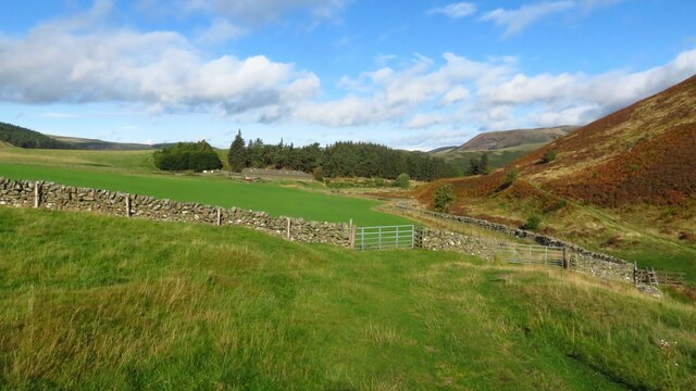
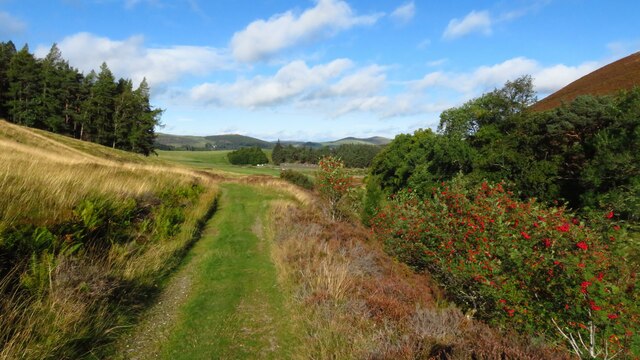
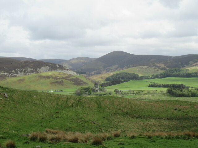
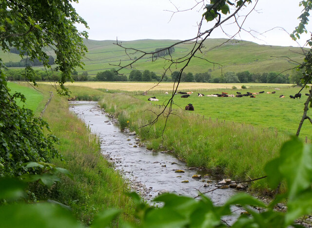
Parkgate Pool is a small, freshwater body of water located in Peeblesshire, Scotland. It is a serene and picturesque spot surrounded by lush greenery and rolling hills. The pool is relatively shallow, with clear water that allows visitors to see the aquatic plants and fish that inhabit the area.

The pool is a popular destination for both locals and tourists looking to relax and enjoy nature. Visitors can take a leisurely stroll around the pool, or sit on the banks and watch the wildlife that calls the area home. Birdwatchers will appreciate the variety of bird species that can be spotted around the pool, including ducks, swans, and herons.

Fishing is also a popular activity at Parkgate Pool, with anglers trying their luck at catching trout and perch. The pool is regularly stocked with fish, ensuring that there is always plenty to catch.

Overall, Parkgate Pool is a tranquil and beautiful spot that offers a peaceful escape from the hustle and bustle of everyday life. Whether you are looking to relax, enjoy nature, or try your hand at fishing, Parkgate Pool has something to offer for everyone.

If you have any feedback on the listing, please let us know in the comments section below.

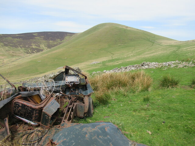
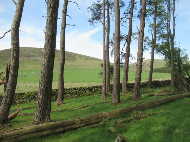
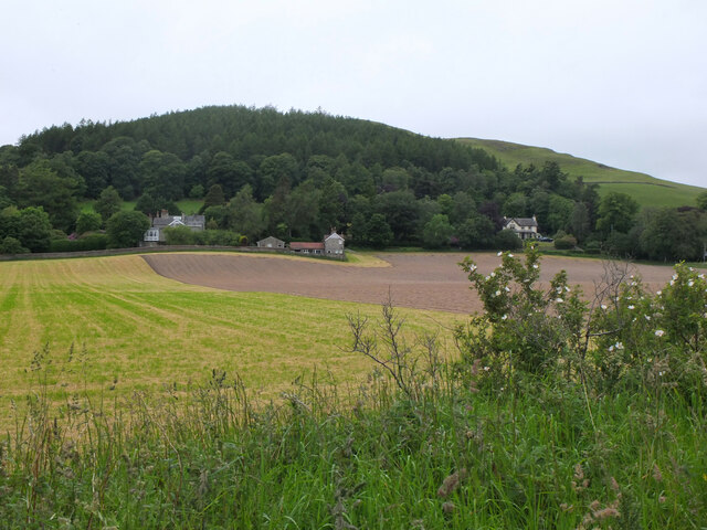
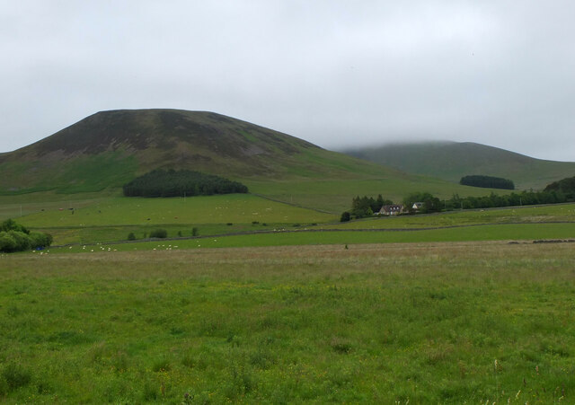
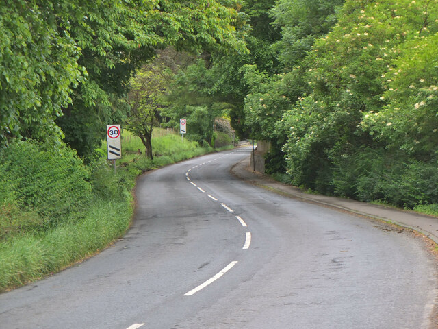
Parkgate Pool Images

Images are sourced within 2km of 55.600596/-3.3759794 or Grid Reference NT1334. Thanks to Geograph Open Source API. All images are credited.

Farmland above Drumelzier
Track beside Drumelzier Burn, southeast of Drumelzier
Drumelzier Standing Stone The standing stone near Drumelzier.
Photo taken on the 2nd January 2022.
Drumelzier Standing Stone
The standing stone near Drumelzier. Photo taken on the 2nd January 2022.
Trig point on Rachan Hill The remains of a prehistoric hill fort can be traced on the summit of this small hill, but it seems they have been damaged by afforestation in the twentieth century.

More details can be found at <span class="nowrap"><a title="https://canmore.org.uk/site/49911/rachan-hill" rel="nofollow ugc noopener" href="https://canmore.org.uk/site/49911/rachan-hill">Link</a><img style="margin-left:2px;" alt="External link" title="External link - shift click to open in new window" src="https://s1.geograph.org.uk/img/external.png" width="10" height="10"/></span>
Trig point on Rachan Hill
The remains of a prehistoric hill fort can be traced on the summit of this small hill, but it seems they have been damaged by afforestation in the twentieth century. More details can be found at LinkExternal link
View towards Drumelzier Law from Dreva Craig Drumelzier Law rises above low-lying farmland by the River Tweed.
View towards Drumelzier Law from Dreva Craig
Drumelzier Law rises above low-lying farmland by the River Tweed.
Cairn at Dreva Craig Dreva Craig has the extensive remnants of a prehistoric fort, settlement and protective structures.  For more information see <span class="nowrap"><a title="https://canmore.org.uk/site/49881/dreva-craig" rel="nofollow ugc noopener" href="https://canmore.org.uk/site/49881/dreva-craig">Link</a><img style="margin-left:2px;" alt="External link" title="External link - shift click to open in new window" src="https://s1.geograph.org.uk/img/external.png" width="10" height="10"/></span>
Cairn at Dreva Craig
Dreva Craig has the extensive remnants of a prehistoric fort, settlement and protective structures. For more information see LinkExternal link
Dreva Craig Dreva Craig is the site of a prehistoric fort, settlement and defences. For more information, see <span class="nowrap"><a title="https://canmore.org.uk/site/49881/dreva-craig" rel="nofollow ugc noopener" href="https://canmore.org.uk/site/49881/dreva-craig">Link</a><img style="margin-left:2px;" alt="External link" title="External link - shift click to open in new window" src="https://s1.geograph.org.uk/img/external.png" width="10" height="10"/></span>
Dreva Craig
Dreva Craig is the site of a prehistoric fort, settlement and defences. For more information, see LinkExternal link
Trahenna Hill viewed from hillside above Dreva Hope Part of the Broughton Heights group of hills, Trahenna Hill rises to 549 metres above sea level.
Trahenna Hill viewed from hillside above Dreva Hope
Part of the Broughton Heights group of hills, Trahenna Hill rises to 549 metres above sea level.
Remains of a van below Trahenna Hill The old Bedford van/shed photographed by Richard Webb in 2005 (<a href="https://www.geograph.org.uk/photo/44843">NT1336 : Old van, Dreva</a>) has now completely fallen apart, leaving something of an eyesore.
Remains of a van below Trahenna Hill
The old Bedford van/shed photographed by Richard Webb in 2005 (NT1336 : Old van, Dreva) has now completely fallen apart, leaving something of an eyesore.
Remains of a van below Trahenna Hill The old Bedford van/shed photographed by Richard Webb in 2005 (<a href="https://www.geograph.org.uk/photo/44843">NT1336 : Old van, Dreva</a>) has now completely fallen apart, leaving something of an eyesore.

And all with only 80,000-odd miles on the clock – although it may have gone round the clock more than once.
Remains of a van below Trahenna Hill
The old Bedford van/shed photographed by Richard Webb in 2005 (NT1336 : Old van, Dreva) has now completely fallen apart, leaving something of an eyesore. And all with only 80,000-odd miles on the clock – although it may have gone round the clock more than once.
Small woodland of Scots pines, Dreva Muirburn Ratchill Hill and the Mere Cleuch are visible beyond the trees.
Small woodland of Scots pines, Dreva Muirburn
Ratchill Hill and the Mere Cleuch are visible beyond the trees.
Fields below Helm End, Broughton Seen from the route of the former railway between Broughton and Peebles.
Fields below Helm End, Broughton
Seen from the route of the former railway between Broughton and Peebles.
Ratchill Hill with cloud beyond Ratchill Hill (about 420m) is clear but cloud base is below the higher ground of Cat Cleuch Head and Trahenna Hill.
Ratchill Hill with cloud beyond
Ratchill Hill (about 420m) is clear but cloud base is below the higher ground of Cat Cleuch Head and Trahenna Hill.
Holms Water near Rachan Looking downstream from the bridge on the track from Rachan Home Farm.
Holms Water near Rachan
Looking downstream from the bridge on the track from Rachan Home Farm.
A701 approaching Broughton The A701 from Moffat to Edinburgh follows the upper Tweed valley before heading to Penicuik and the capital. The signs are countdowns to the 30mph limit ahead.
A701 approaching Broughton
The A701 from Moffat to Edinburgh follows the upper Tweed valley before heading to Penicuik and the capital. The signs are countdowns to the 30mph limit ahead.
Scattered trees above Drumelzier
Merlindale Bridge Merlindale Bridge crosses the River Tweed on the B712 at Drumelzier . This minor road runs from Hallyn to Rachan. It is the first bridge to take a classified road over the Tweed downstream from the river's source
Merlindale Bridge
Merlindale Bridge crosses the River Tweed on the B712 at Drumelzier . This minor road runs from Hallyn to Rachan. It is the first bridge to take a classified road over the Tweed downstream from the river's source
Course of the Muir Burn The burn is out of sight, surrounded by the creamy flowers of meadowsweet.
Course of the Muir Burn
The burn is out of sight, surrounded by the creamy flowers of meadowsweet.
Show me another place!

Parkgate Pool is located at Grid Ref: NT1334 (Lat: 55.600596, Lng: -3.3759794)

Unitary Authority: The Scottish Borders

Police Authority: The Lothians and Scottish Borders

What 3 Words

///norms.stowing.kindest. Near Biggar, South Lanarkshire

Related Wikis

Biggar Water

Biggar Water is a river in Lanarkshire and Peeblesshire, in the Southern Uplands of Scotland. It forms part of the River Tweed system. It rises, as Biggar...

Drumelzier

Drumelzier (), is a village and civil parish on the B712 in the Tweed Valley in the Scottish Borders. The area of the village is extensive and includes...

Dreva on Tweed

Dreva on Tweed (or simply Dreva) is a hamlet in the Scottish Borders. It was historically in Peebles-shire. It is noted for the historical presence of...

Holms Water

The Holms Water is a river and a tributary of the Biggar Water, which is a tributary of the River Tweed, in the parish of Broughton, Glenholm and Kilbucho...

Nearby Amenities

Located within 500m of 55.600596,-3.3759794
Power: pole
Lat/Long: 55.5965985/-3.3735559
Power: pole
Lat/Long: 55.5971184/-3.3722634
Power: pole
Lat/Long: 55.5975917/-3.3711169
Power: pole
Lat/Long: 55.5980948/-3.3698794
Power: pole
Lat/Long: 55.6048122/-3.3765575
Power: pole
Lat/Long: 55.5963803/-3.3771445
Power: pole
Lat/Long: 55.5968273/-3.3779357
Power: pole
Lat/Long: 55.5972229/-3.379006
Power: pole
Lat/Long: 55.5976054/-3.3800721
Power: pole
Lat/Long: 55.5979914/-3.3811023
Power: pole
Lat/Long: 55.5984085/-3.3822277
Power: pole
Lat/Long: 55.5989177/-3.3824646
Power: pole
Lat/Long: 55.5992905/-3.3826275
Power: pole
Lat/Long: 55.5997722/-3.3828432
The data included in this document is from www.openstreetmap.org. The data is made available under ODbL.

Have you been to Parkgate Pool?

Leave your review of Parkgate Pool below (or comments, questions and feedback).