Grafham
Settlement in Huntingdonshire Huntingdonshire
England
Grafham

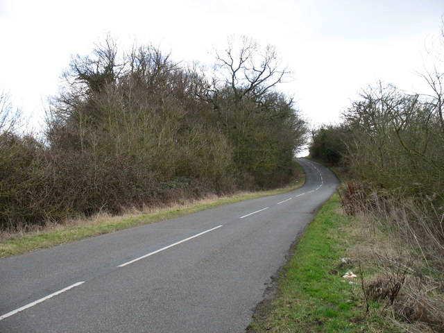
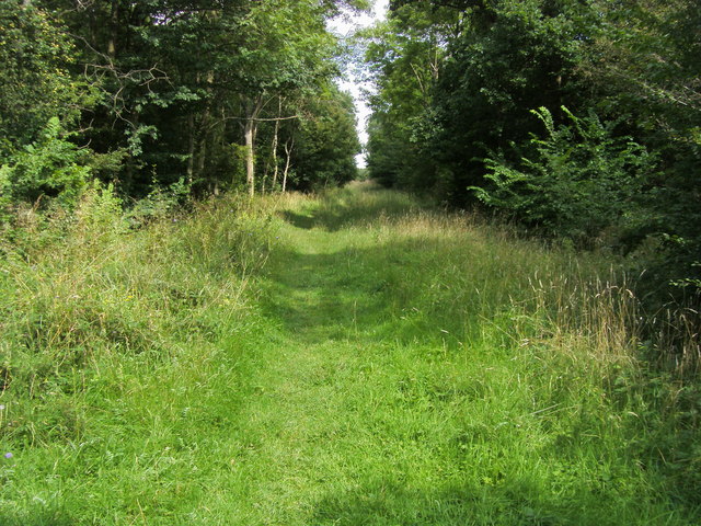
Grafham is a small village located in Huntingdonshire, England. Situated near the town of Huntingdon, Grafham is known for its picturesque countryside and charming rural setting. The village is surrounded by rolling hills, lush green fields, and tranquil woodlands, making it an ideal destination for those seeking a peaceful retreat.
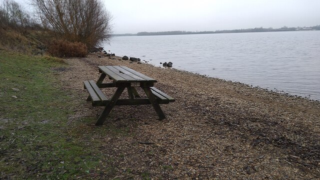
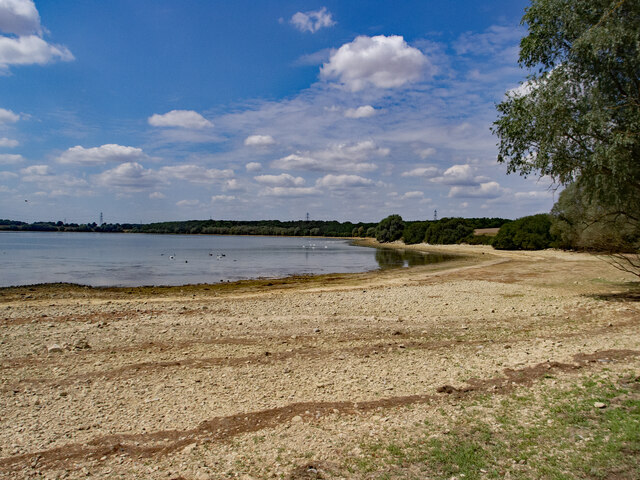
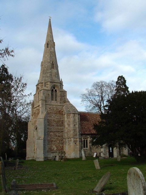
Grafham is perhaps best known for its reservoir, which is a popular spot for sailing, fishing, and birdwatching. The reservoir is also home to a variety of wildlife, including ducks, swans, and other waterfowl. In addition to outdoor activities, Grafham offers a number of amenities for residents and visitors, including a village hall, a church, and a pub.
The village has a close-knit community, with a strong sense of local pride and tradition. Residents of Grafham often participate in community events and activities, such as village fairs and charity fundraisers. Overall, Grafham is a charming and idyllic village that offers a peaceful and scenic escape from the hustle and bustle of city life.
If you have any feedback on the listing, please let us know in the comments section below.
Grafham Images
Images are sourced within 2km of 52.310308/-0.29820081 or Grid Reference TL1669. Thanks to Geograph Open Source API. All images are credited.


Grafham is located at Grid Ref: TL1669 (Lat: 52.310308, Lng: -0.29820081)
Administrative County: Cambridgeshire
District: Huntingdonshire
Police Authority: Cambridgeshire
What 3 Words
///reliving.pats.stand. Near Buckden, Cambridgeshire
Nearby Locations
Related Wikis
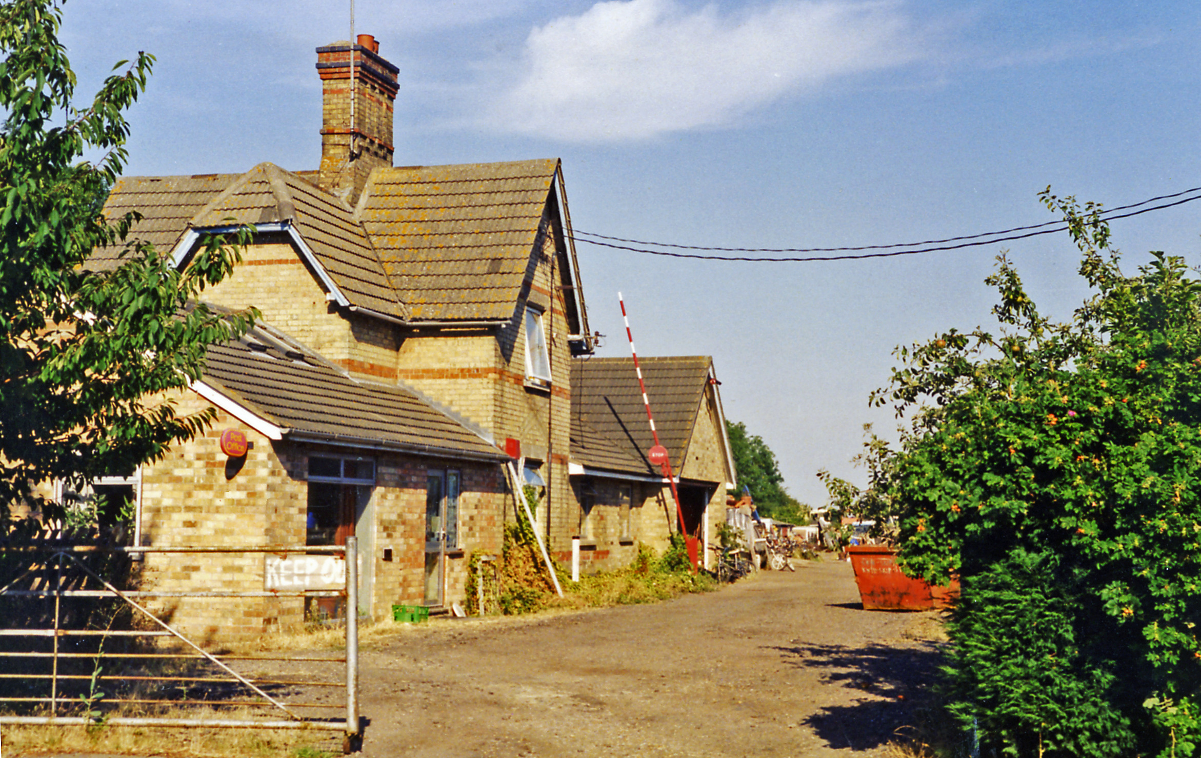
Grafham railway station
Grafham railway station was a railway station in Grafham, Cambridgeshire. The station and its line closed in 1959.In the 1990s the railway station buildings...
Grafham, Cambridgeshire
Grafham is a village and civil parish in Cambridgeshire, England. Grafham lies approximately 5 miles (8 km) south-west of Huntingdon. Grafham is situated...

Grafham Water
Grafham Water is an 806.3-hectare (1,992-acre) biological Site of Special Scientific Interest (SSSI) north of Perry, Huntingdonshire. It was designated...
Brampton Wood
Brampton Wood is a 132.1-hectare (326-acre) biological Site of Special Scientific Interest in Cambridgeshire. The site is west of Brampton in Cambridgeshire...
Nearby Amenities
Located within 500m of 52.310308,-0.29820081Have you been to Grafham?
Leave your review of Grafham below (or comments, questions and feedback).