Golland Linns
Lake, Pool, Pond, Freshwater Marsh in Kinross-shire
Scotland
Golland Linns
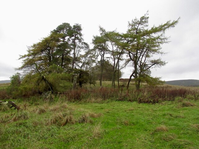
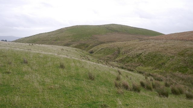
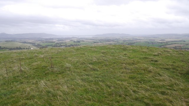
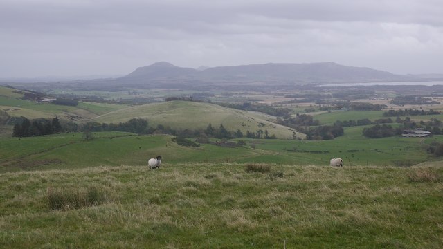
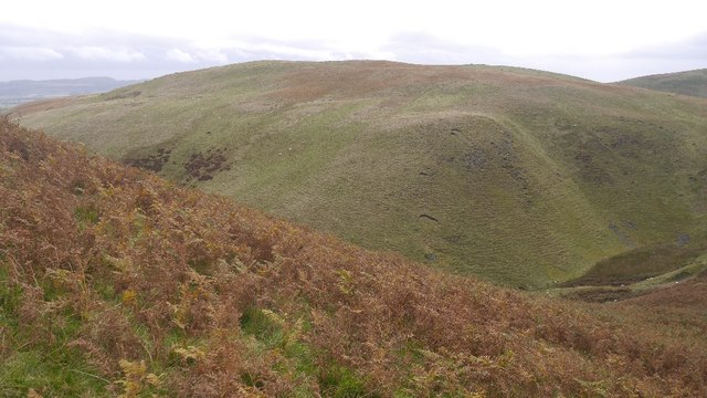
Golland Linns is a picturesque freshwater marsh situated in the quaint county of Kinross-shire, Scotland. Nestled amidst rolling hills and verdant landscapes, this natural wonder encompasses a diverse array of aquatic ecosystems, including lakes, pools, ponds, and marshes.
The main attraction of Golland Linns is its pristine lake, which spans an impressive surface area and is fed by several small streams originating from the surrounding hills. The lake's crystal-clear waters provide a habitat for numerous species of fish, such as trout and perch, attracting anglers and nature enthusiasts alike.
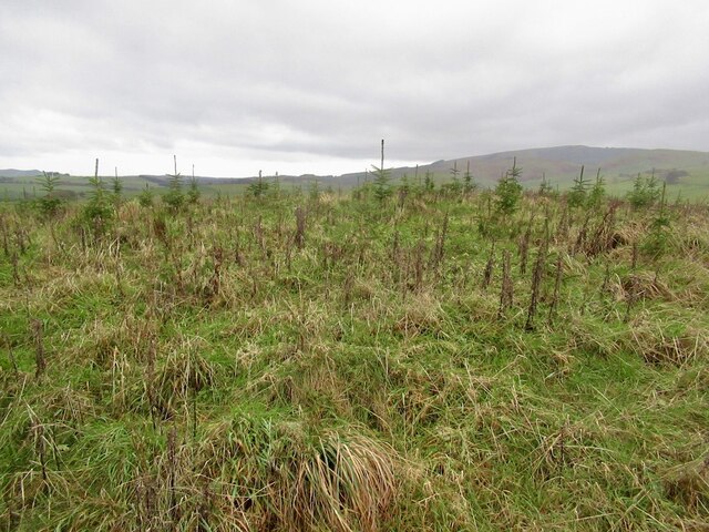
Adjacent to the lake, a network of pools and ponds can be found, each with its own unique characteristics. These smaller bodies of water serve as breeding grounds for amphibians, including frogs and newts, and provide a haven for various species of waterfowl, like mallards and coots.
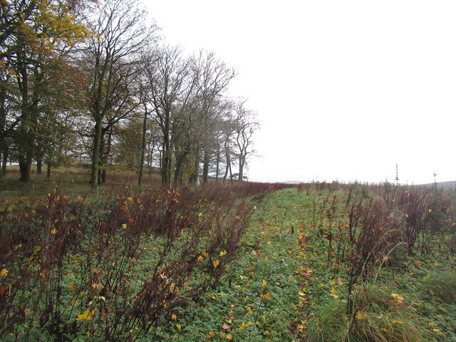
At the heart of Golland Linns lies the freshwater marsh, an enchanting wetland teeming with life. Dense reed beds and floating vegetation create a rich habitat for a diverse range of flora and fauna. Visitors can expect to encounter delicate water lilies, vibrant irises, and a chorus of buzzing insects and chirping birds.
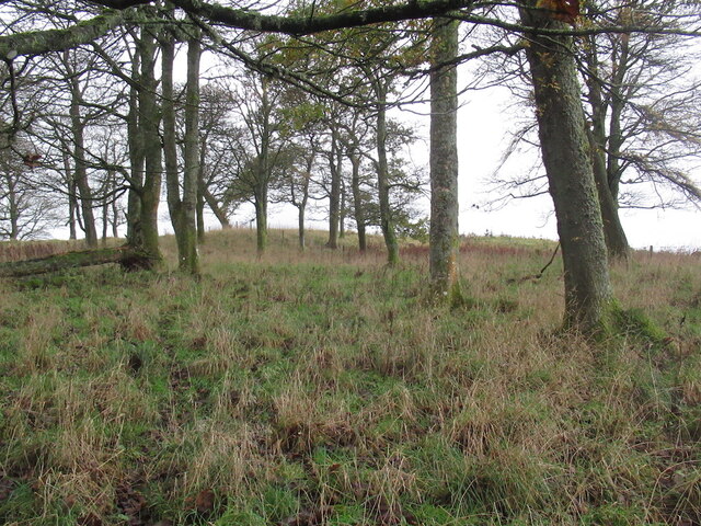
The marsh also acts as a refuge for numerous species of mammals, including otters, voles, and water shrews. These elusive creatures can often be spotted darting between the reeds or swimming gracefully through the shallow waters.
Golland Linns provides a tranquil retreat for nature lovers, offering an abundance of wildlife and breathtaking scenery. Whether one is seeking a peaceful stroll along the shoreline or an opportunity to observe the intricate web of life in the marsh, this natural gem in Kinross-shire is sure to captivate all who visit.
If you have any feedback on the listing, please let us know in the comments section below.
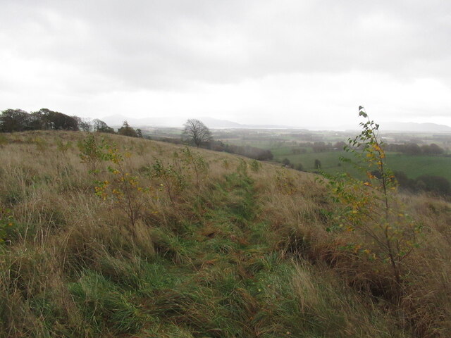
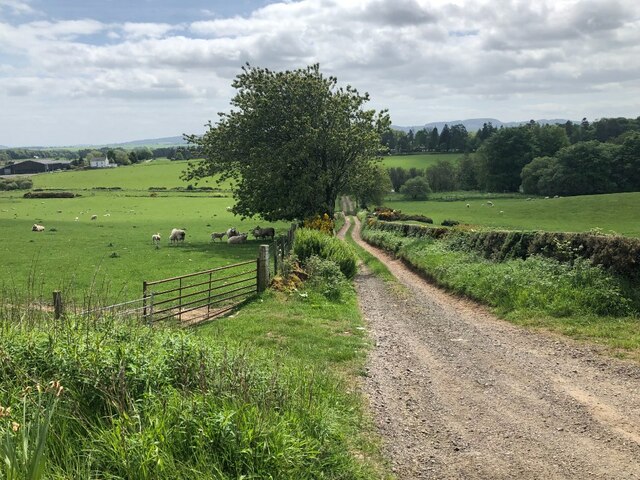
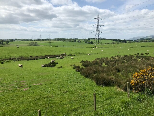
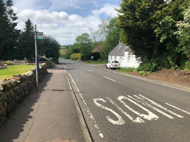
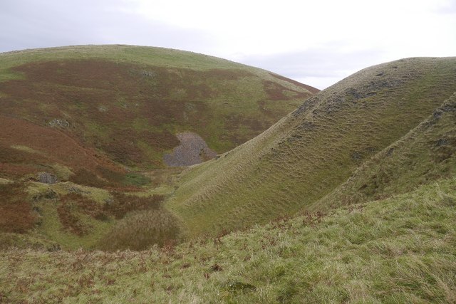
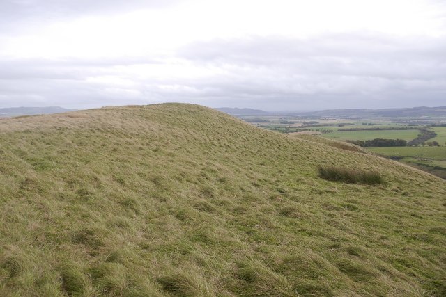
Golland Linns Images
Images are sourced within 2km of 56.222406/-3.5272262 or Grid Reference NO0504. Thanks to Geograph Open Source API. All images are credited.
Golland Linns is located at Grid Ref: NO0504 (Lat: 56.222406, Lng: -3.5272262)
Unitary Authority: Perth and Kinross
Police Authority: Tayside
What 3 Words
///allowable.spits.reply. Near Milnathort, Perth & Kinross
Nearby Locations
Related Wikis

Carnbo
Carnbo is a hamlet in Perth and Kinross, Scotland. It lies approximately 6 miles (10 kilometres) west of Kinross, on the A91 road on the South Queich burn...

Dalqueich
Dalqueich () is a hamlet in Perth and Kinross, Scotland. It lies approximately 3 miles (5 kilometres) west of Kinross, north of the A91 road on the North...

Innerdouny Hill
Innerdouny Hill (497 m) is a hill in the Ochil Hills of Perth and Kinross, Scotland. It is located northwest of the town of Kinross. The second highest...

Tullibole Castle
Tullibole Castle is a 17th-century castle in Crook of Devon, a village in Perth and Kinross. It was built by John Halliday in 1608 and is currently owned...
Nearby Amenities
Located within 500m of 56.222406,-3.5272262Have you been to Golland Linns?
Leave your review of Golland Linns below (or comments, questions and feedback).