Hadagain Linn

Lake, Pool, Pond, Freshwater Marsh in Kinross-shire

Scotland

Hadagain Linn

Road to Upper Warroch Serving farm buildings and a pair of houses.
Road to Upper Warroch Credit: Richard Webb

The requested URL returned error: 429 Too Many Requests

If you have any feedback on the listing, please let us know in the comments section below.

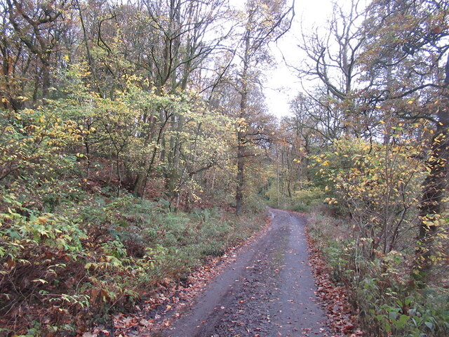
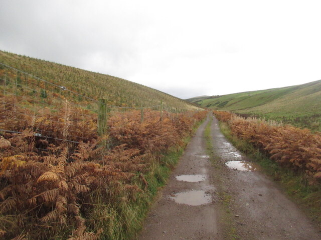
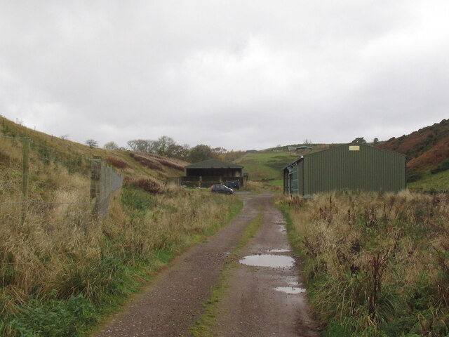
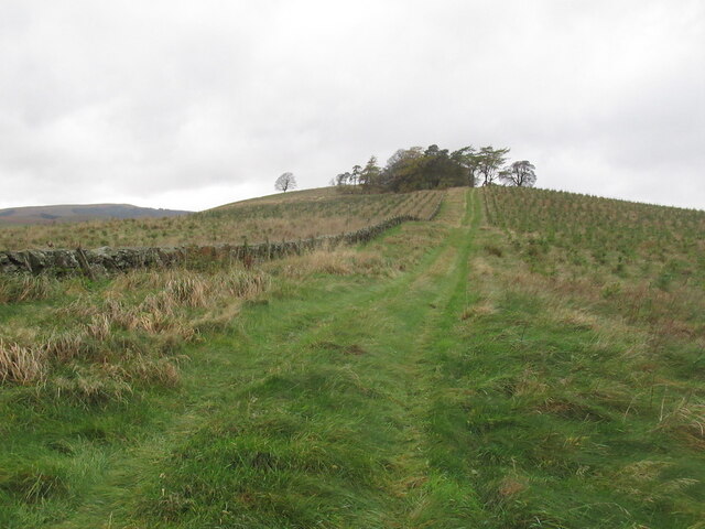
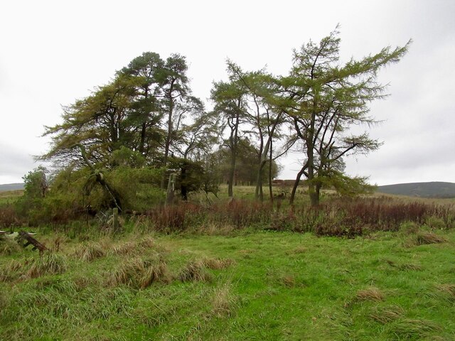
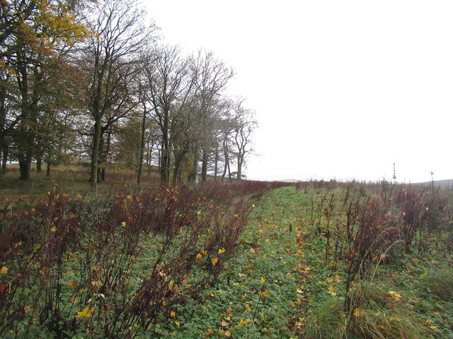
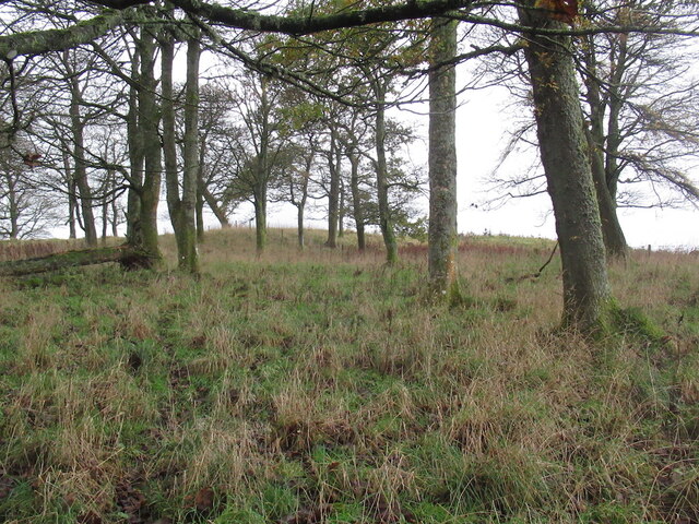
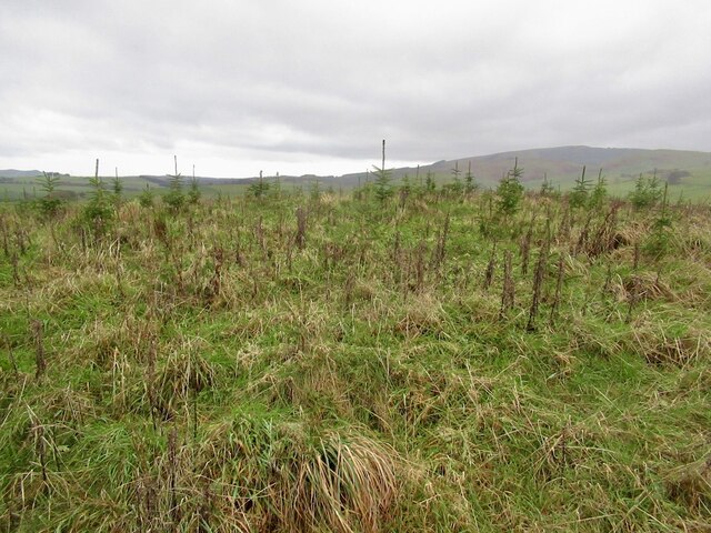
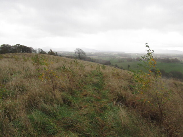
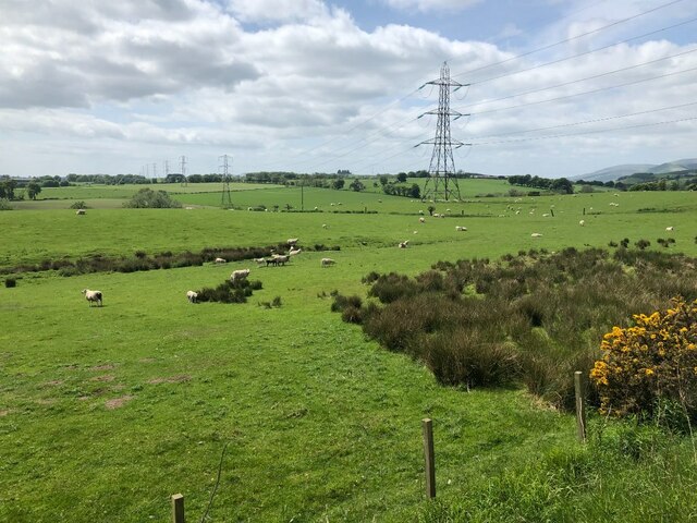
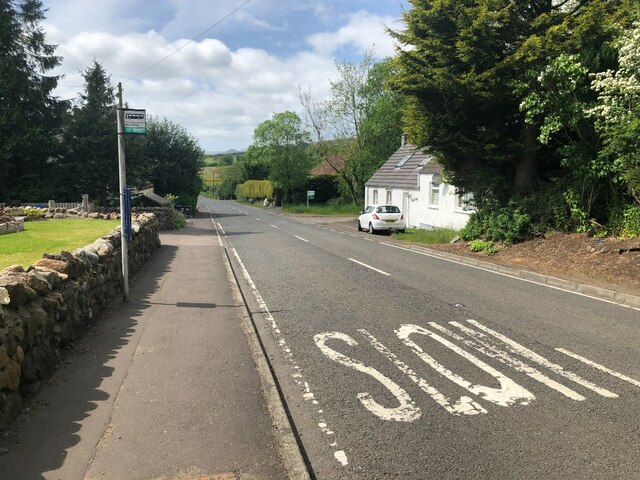
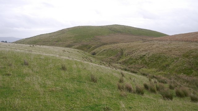
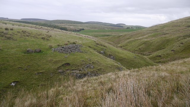
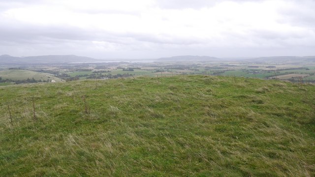
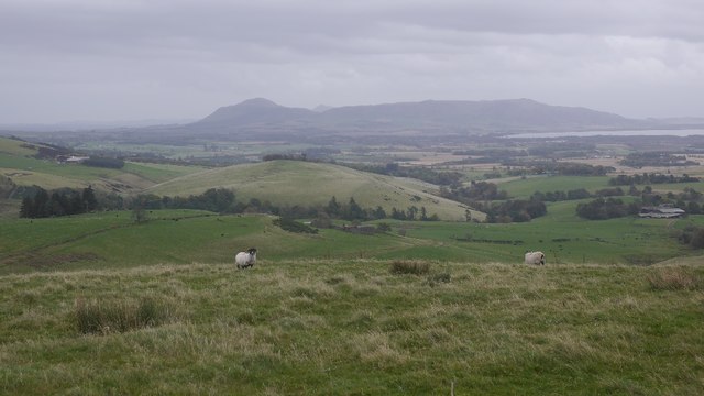
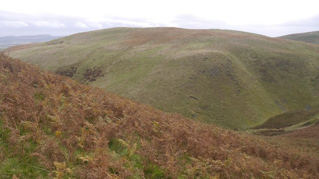
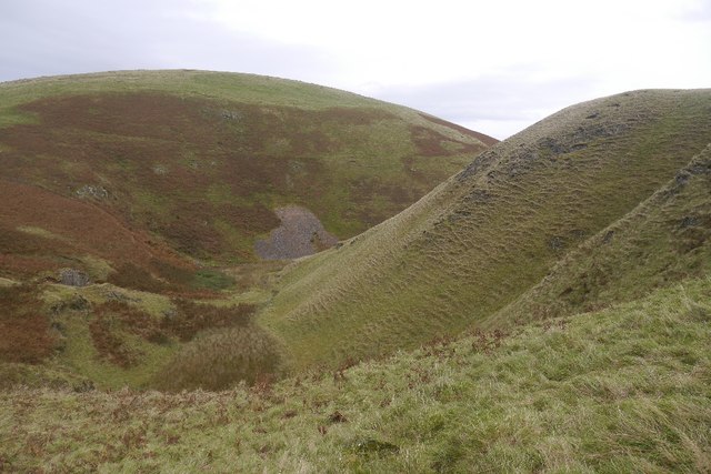
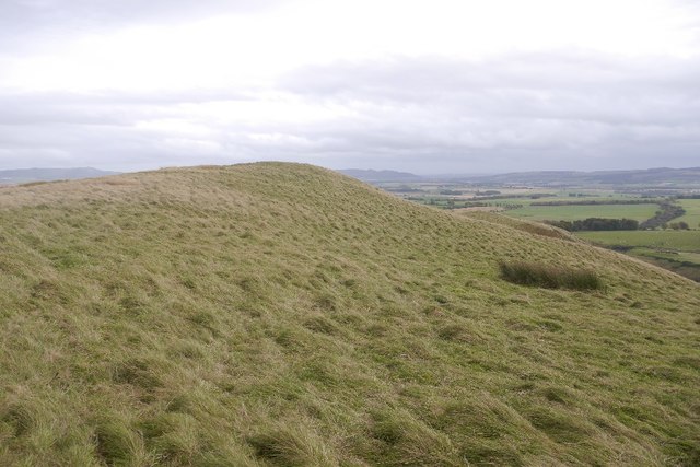
Hadagain Linn Images

Images are sourced within 2km of 56.223692/-3.5279386 or Grid Reference NO0504. Thanks to Geograph Open Source API. All images are credited.

Road to Upper Warroch Serving farm buildings and a pair of houses.
Road to Upper Warroch
Serving farm buildings and a pair of houses.
Road to Upper Warroch Passing Drumgarland, now planted with trees.
Road to Upper Warroch
Passing Drumgarland, now planted with trees.
Road to Upper Warroch
Path up Drumgarland An unplanted strip on the recently forested hill.
Path up Drumgarland
An unplanted strip on the recently forested hill.
Trees on Drumgarland Now surrounded by young plantations.
Trees on Drumgarland
Now surrounded by young plantations.
On Drumgarland
On Drumgarland
Older trees, Drumgarland Surrounded now by a young conifer plantation.
Older trees, Drumgarland
Surrounded now by a young conifer plantation.
Drumgarland summit Now under Sitka spruce.
Drumgarland summit
Now under Sitka spruce.
Young trees, Drumgarland
Sheep near Carnbo South of the A91
Sheep near Carnbo
South of the A91
A91, Carnbo
A91, Carnbo
Cloon Burn and Cloon Hill pasture above Carnbo.
Cloon Burn and Cloon
Hill pasture above Carnbo.
Clearance cairn above the Cloon Burn Pile of stones dumped after winning an improved field out of the rough grazing on Carmoodle.
Clearance cairn above the Cloon Burn
Pile of stones dumped after winning an improved field out of the rough grazing on Carmoodle.
Cloon summit View towards Loch Leven.
Cloon summit
View towards Loch Leven.
Sheep on Cloon View from the summit towards the Lomond Hills.
Sheep on Cloon
View from the summit towards the Lomond Hills.
Braughty Hill A steep wee hill above Carnbo, seen across the Keerie Glen from Cloon.
Braughty Hill
A steep wee hill above Carnbo, seen across the Keerie Glen from Cloon.
Keerie Glen A meltwater channel between Cloon (background) and Braughty Hill.
Keerie Glen
A meltwater channel between Cloon (background) and Braughty Hill.
Summit, Braughty Hill There is an all terrain vehicle track over the summit ridge.
Summit, Braughty Hill
There is an all terrain vehicle track over the summit ridge.
Show me another place!

Hadagain Linn is located at Grid Ref: NO0504 (Lat: 56.223692, Lng: -3.5279386)

Unitary Authority: Perth and Kinross

Police Authority: Tayside

What 3 Words

///mainland.exotic.clearing. Near Milnathort, Perth & Kinross

Related Wikis

Carnbo

Carnbo is a hamlet in Perth and Kinross, Scotland. It lies approximately 6 miles (10 kilometres) west of Kinross, on the A91 road on the South Queich burn...

Dalqueich

Dalqueich () is a hamlet in Perth and Kinross, Scotland. It lies approximately 3 miles (5 kilometres) west of Kinross, north of the A91 road on the North...

Innerdouny Hill

Innerdouny Hill (497 m) is a hill in the Ochil Hills of Perth and Kinross, Scotland. It is located northwest of the town of Kinross. The second highest...

Tullibole Castle

Tullibole Castle is a 17th-century castle in Crook of Devon, a village in Perth and Kinross. It was built by John Halliday in 1608 and is currently owned...

Nearby Amenities

Located within 500m of 56.223692,-3.5279386
The data included in this document is from www.openstreetmap.org. The data is made available under ODbL.

Have you been to Hadagain Linn?

Leave your review of Hadagain Linn below (or comments, questions and feedback).