Barber's Loch

Lake, Pool, Pond, Freshwater Marsh in Perthshire

Scotland

Barber's Loch

Overgrown path/road in Cosnakie Wood There is a path shown at this point on the 1:50000 OS map and a road on the 1:25000 map, but it is now completely overgrown and practically impassable.
Overgrown path/road in Cosnakie Wood Credit: AllanKnaik

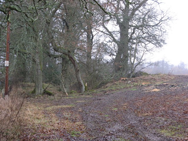
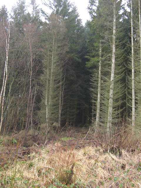
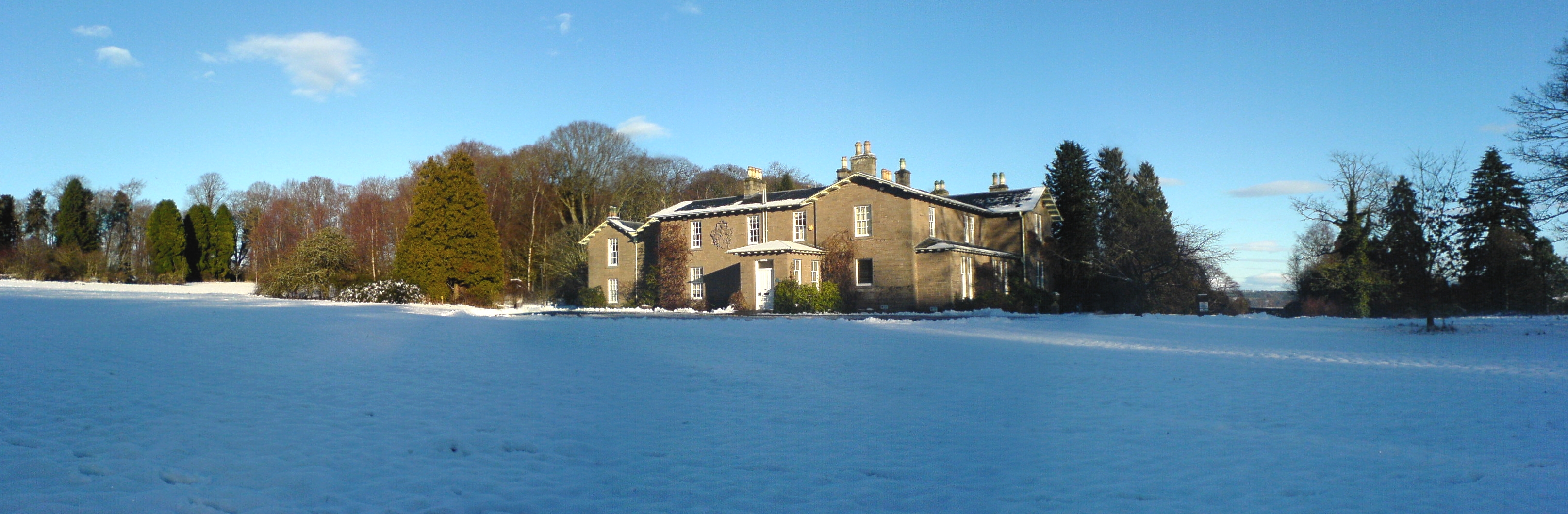
Barber's Loch is a picturesque freshwater loch located in Perthshire, Scotland. Known for its tranquil beauty and diverse wildlife, it covers an area of approximately 20 hectares. The loch is nestled amidst rolling hills and surrounded by lush vegetation, creating an idyllic setting for nature enthusiasts and visitors seeking a peaceful retreat.

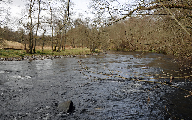
Situated at an elevation of 200 meters, Barber's Loch is fed by several small streams, ensuring a constant flow of fresh water. The water is crystal clear and supports a rich ecosystem of aquatic plants and animals. The loch is home to a variety of fish species, including brown trout and perch, making it a popular spot for fishing enthusiasts.

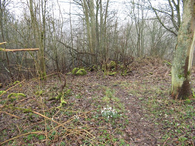
The surrounding area of Barber's Loch is abundant with wildlife, attracting birdwatchers and nature lovers from near and far. Bird species such as herons, swans, and ducks can frequently be observed gliding gracefully across the tranquil waters. The surrounding marshland provides a perfect habitat for a diverse range of plant and animal species, including rare orchids and dragonflies.

Visitors to Barber's Loch can enjoy various recreational activities, including walking trails that encircle the loch, providing breathtaking views of the surrounding landscape. The area is well-maintained, with designated picnic spots and benches strategically placed for visitors to relax and take in the serene surroundings.

Overall, Barber's Loch in Perthshire offers a peaceful and scenic retreat for those seeking to immerse themselves in the beauty of nature. Its diverse wildlife, clear waters, and picturesque setting make it a must-visit destination for both locals and tourists alike.

If you have any feedback on the listing, please let us know in the comments section below.

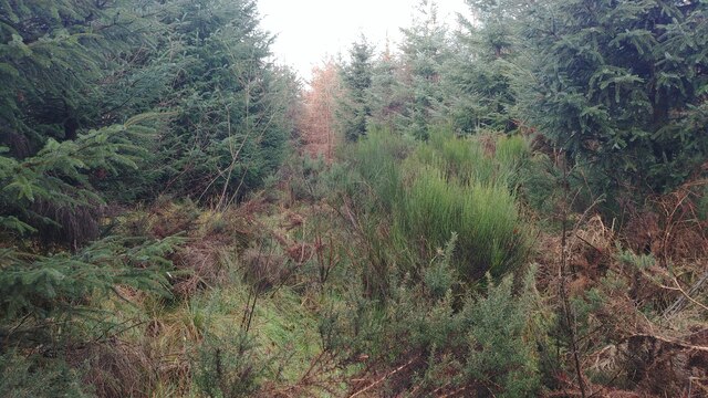
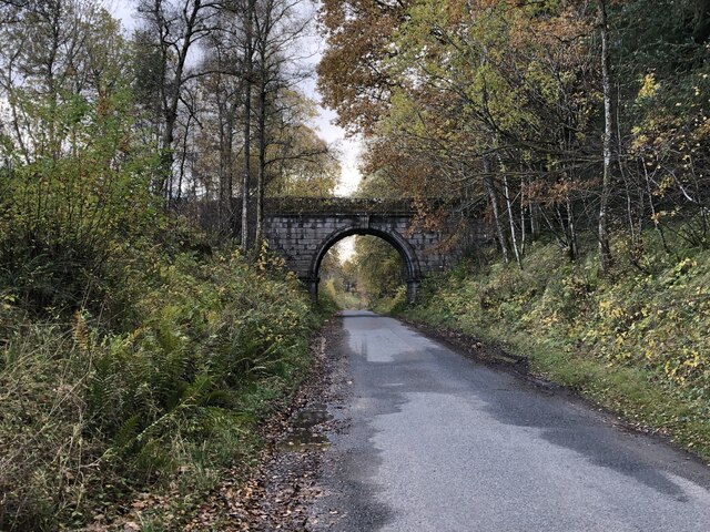
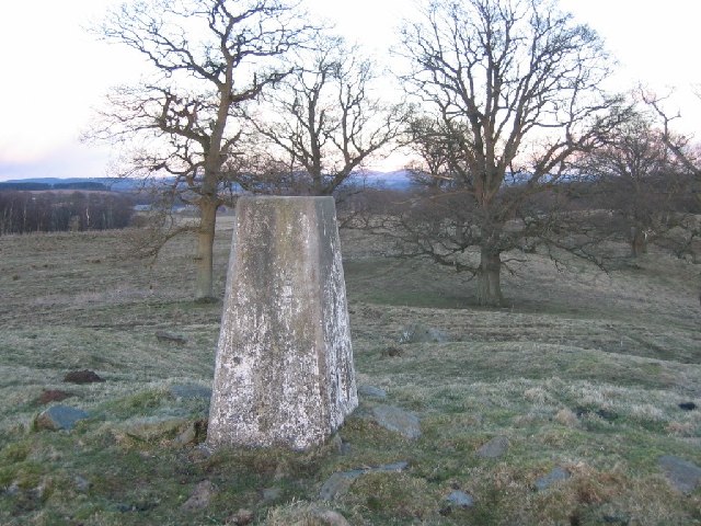
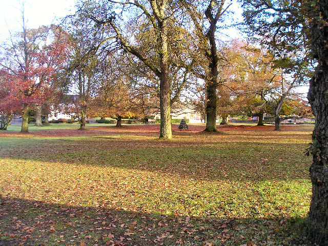
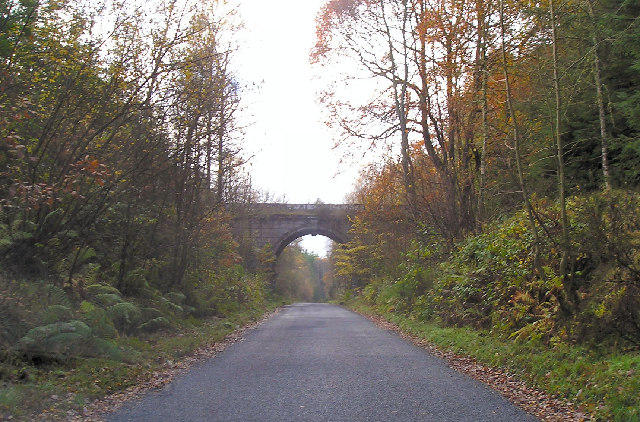
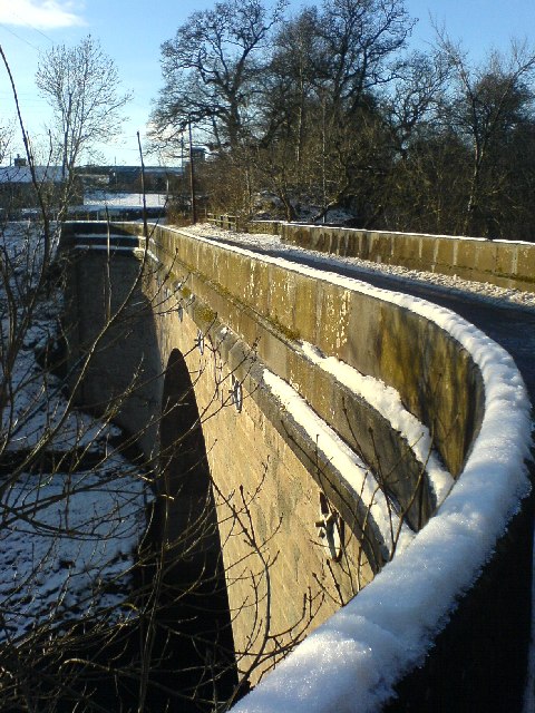
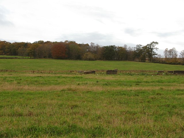
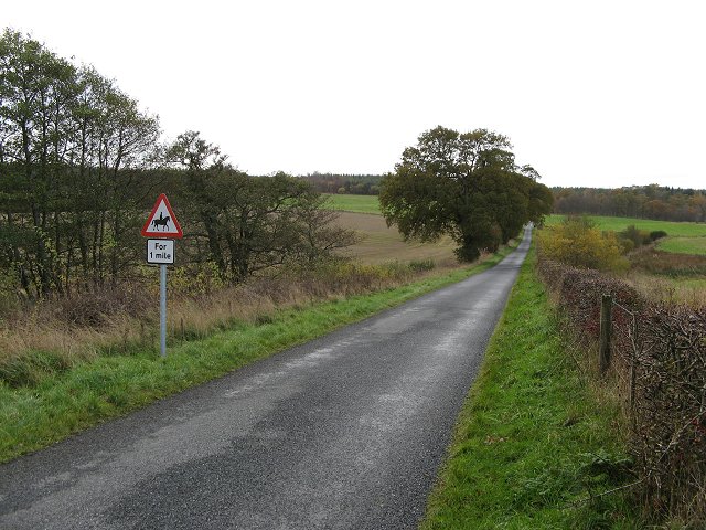
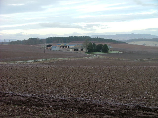
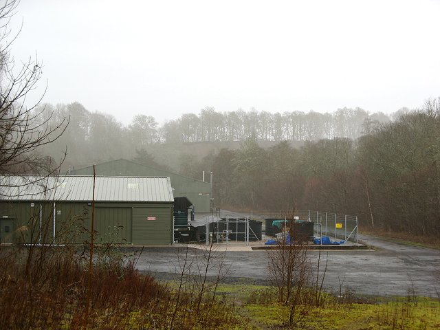
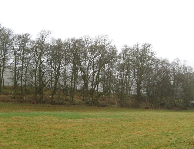
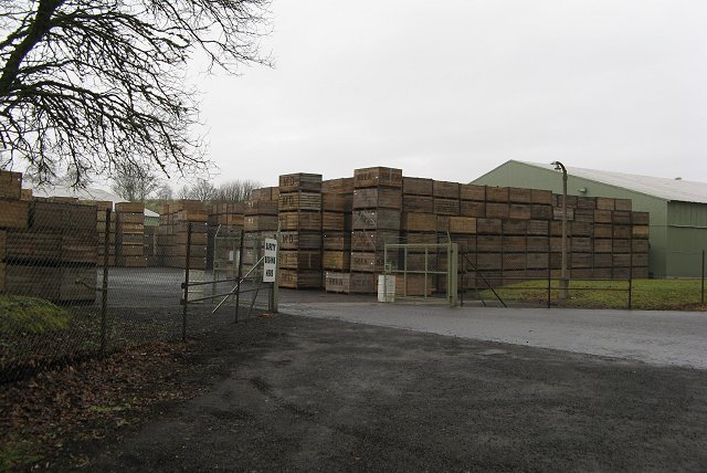
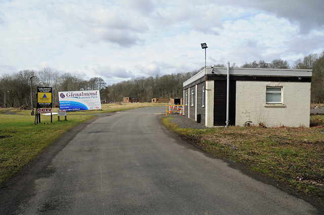
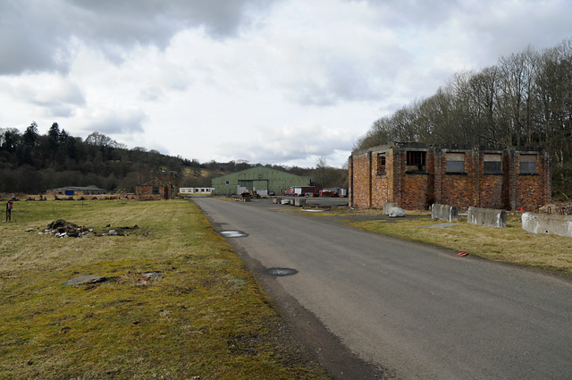
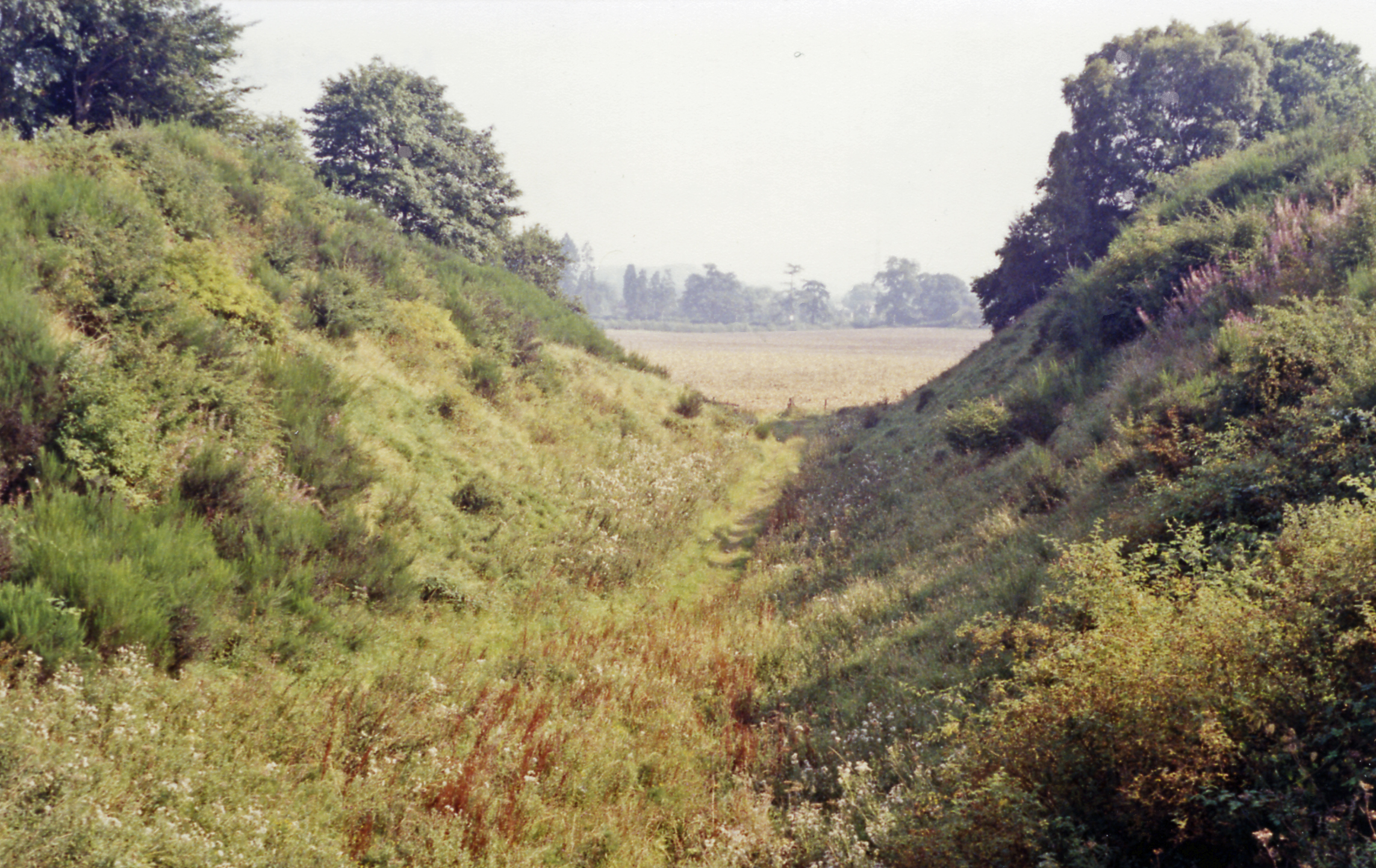
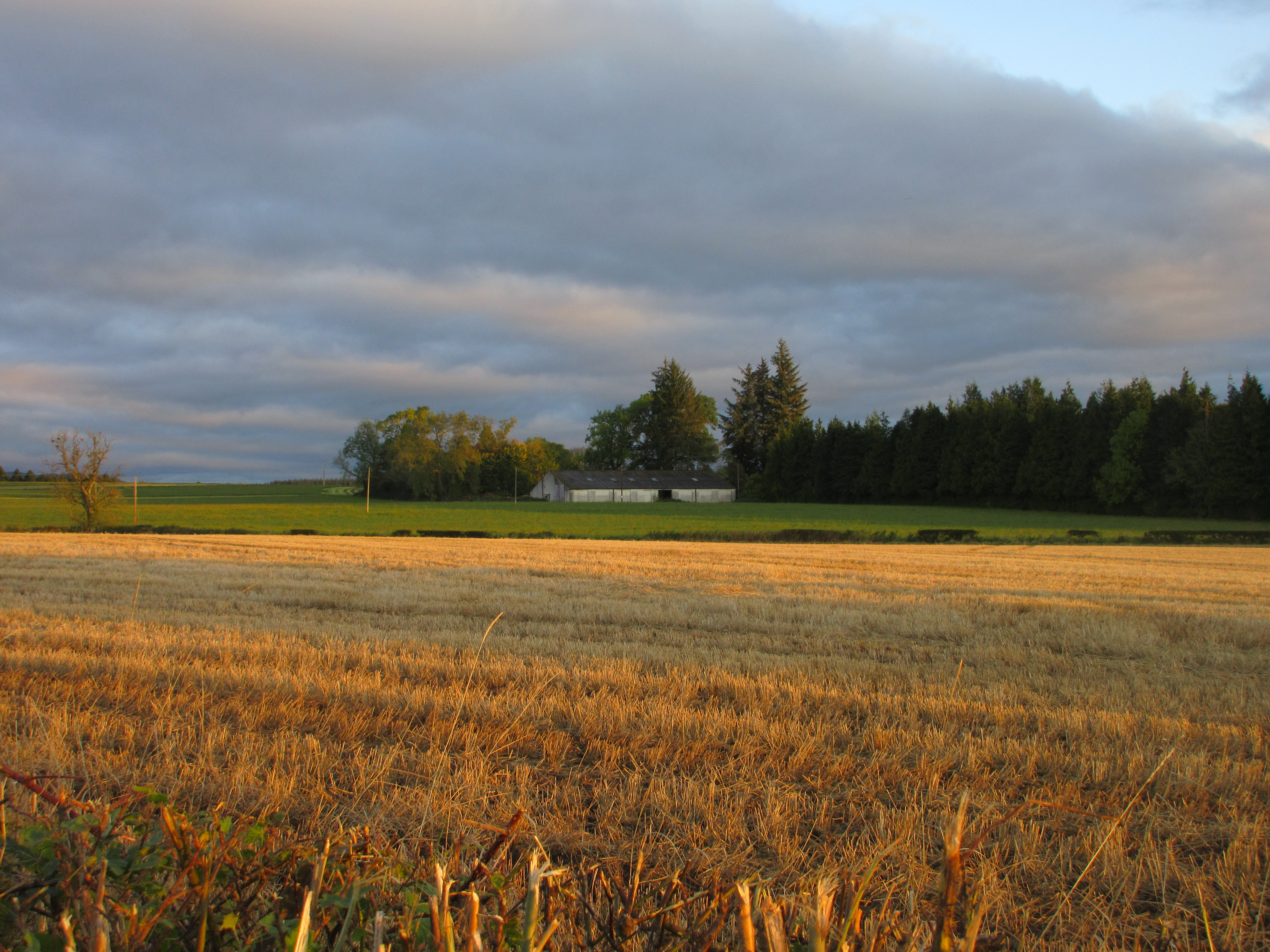
Barber's Loch Images

Images are sourced within 2km of 56.43425/-3.5357278 or Grid Reference NO0527. Thanks to Geograph Open Source API. All images are credited.

Overgrown path/road in Cosnakie Wood There is a path shown at this point on the 1:50000 OS map and a road on the 1:25000 map, but it is now completely overgrown and practically impassable.
Overgrown path/road in Cosnakie Wood
There is a path shown at this point on the 1:50000 OS map and a road on the 1:25000 map, but it is now completely overgrown and practically impassable.
Dry Arch The Cosnakie Wood side has been felled.
Dry Arch
The Cosnakie Wood side has been felled.
Dalcrue Trigpoint set in Perthshire parkland. Nearby is an old landfill site, thankfully landscaped.
Dalcrue
Trigpoint set in Perthshire parkland. Nearby is an old landfill site, thankfully landscaped.
The Green, Pitcairngreen This picture shows part of "The Green" with the cairn built to commemorate the planting of trees to mark the Queens coronation.
The Green, Pitcairngreen
This picture shows part of "The Green" with the cairn built to commemorate the planting of trees to mark the Queens coronation.
Dry Arch, Dalcrue, Perthshire. The "Dry Arch" is part of a road system that connected Lynedoch House with Scone Palace allowing the gentry to travel between their big houses without coming into contact with the common people.
Dry Arch, Dalcrue, Perthshire.
The "Dry Arch" is part of a road system that connected Lynedoch House with Scone Palace allowing the gentry to travel between their big houses without coming into contact with the common people.
Dalcrue Bridge over the Almond at Dalcrue
Dalcrue
Bridge over the Almond at Dalcrue
Moneydie farmland Low shelters or stacks, possibly pig arks. There is still some woodland here, but there was more, when the OS popular edition was surveyed in the 1920 s.
Moneydie farmland
Low shelters or stacks, possibly pig arks. There is still some woodland here, but there was more, when the OS popular edition was surveyed in the 1920 s.
Lane to Cosnakie Woods Lowland Perthshire has a dense network of small lanes, ideal for riders and cyclists. Watch out for strange folk in orienteering kit leaping out of cars and taking photos though.
Sunday morning and the riders are not yet out.
Lane to Cosnakie Woods
Lowland Perthshire has a dense network of small lanes, ideal for riders and cyclists. Watch out for strange folk in orienteering kit leaping out of cars and taking photos though. Sunday morning and the riders are not yet out.
Balmblair Farm Northeast of the small village of Pitcairngreen.
Balmblair Farm
Northeast of the small village of Pitcairngreen.
Cromwellpark An industrial estate hidden away along the course of the Almond. As well as a series of new units, there are several sites of old factories, this has been an industrial site for sometime. Almondbank was a centre for the textile industry including dyeing.
Cromwellpark
An industrial estate hidden away along the course of the Almond. As well as a series of new units, there are several sites of old factories, this has been an industrial site for sometime. Almondbank was a centre for the textile industry including dyeing.
Oakwoods, Cromwellpark Some of the small area of agricultural land in the square. Beyond the trees the land drops sharply to the River Almond and the industrial estate.
Oakwoods, Cromwellpark
Some of the small area of agricultural land in the square. Beyond the trees the land drops sharply to the River Almond and the industrial estate.
Safety Starts Here Text on the noticeboard at the entrance to this industrial unit at Cromwellpark. An unusual lack of logos and signs here. Taken from very close to the grid line.
Safety Starts Here
Text on the noticeboard at the entrance to this industrial unit at Cromwellpark. An unusual lack of logos and signs here. Taken from very close to the grid line.
Quarry or marl pit, Cromwellpark The land to the north and east of Perth is a pleasant mix of farmland and largish woods. This square follows the pattern with several oakwoods. The trees here are around a manmade depression indicating some mineral was once extracted here. The field has the appearance of set aside land.  Note the ubiquitous neighbourhood watch notice on the telegraph pole.
Quarry or marl pit, Cromwellpark
The land to the north and east of Perth is a pleasant mix of farmland and largish woods. This square follows the pattern with several oakwoods. The trees here are around a manmade depression indicating some mineral was once extracted here. The field has the appearance of set aside land. Note the ubiquitous neighbourhood watch notice on the telegraph pole.
Woodland, Parkhill Winter woodland, with hints of the spring to come. If there was sound on here the hints would be less subtle, many birds singing.
Woodland, Parkhill
Winter woodland, with hints of the spring to come. If there was sound on here the hints would be less subtle, many birds singing.
Cosnakie Wood One of the many large woods that are mixed up with farmland north of Perth.
Cosnakie Wood
One of the many large woods that are mixed up with farmland north of Perth.
River Almond
River Almond
Glenalmond Business Park Entrance
Buildings in Glenalmond Business Park Was previously known as the Lynedoch Industrial Estate.  Buildings were used during the Second World War for storing munitions.
Buildings in Glenalmond Business Park
Was previously known as the Lynedoch Industrial Estate. Buildings were used during the Second World War for storing munitions.
Show me another place!

Barber's Loch is located at Grid Ref: NO0527 (Lat: 56.43425, Lng: -3.5357278)

Unitary Authority: Perth and Kinross

Police Authority: Tayside

What 3 Words

///weaned.baguette.grew. Near Almondbank, Perth & Kinross

Related Wikis

Pitcairngreen

Pitcairngreen (pronounced 'Pit-cairn Green') is a hamlet in the Scottish council area of Perth and Kinross which is more or less adjoined to the much larger...

Almondbank

Almondbank is a village in Perth and Kinross, Scotland, about 4+1⁄2 miles (7 kilometres) northwest of Perth. With the building of Royal Naval Aircraft...

Moneydie

Moneydie {/ˌmʌnˈiːˌɗiː/} is a small hamlet and former parish in Perth and Kinross. It is about 6 miles (10 kilometres) northwest of Perth. == Parish... ==

Methven Castle

Methven Castle is a privately owned 17th-century house situated east of Methven, in Perth and Kinross, Scotland. == History == The lands of Methven were...

RAF Methven

Royal Air Force Methven, or more simply RAF Methven, was a World War 2 Royal Air Force Satellite Landing Ground (SLG) located 1.6 miles (2.6 km) south...

Almondbank railway station

Almondbank railway station served the village of Almondbank, in the Scottish county of Perth and Kinross. == History == Opened on 1 January 1858 by the...

Battle of Methven

The Battle of Methven took place at Methven, Scotland on 19 June 1306, during the Wars of Scottish Independence. The battlefield was researched to be included...

Battleby

Battleby is a country house in Perth and Kinross, Scotland. It is in the parish of Redgorton, 1 kilometre (0.62 mi) west of Luncarty and 6 kilometres...

Nearby Amenities

Located within 500m of 56.43425,-3.5357278
Power: pole
Lat/Long: 56.4332813/-3.5430435
Power: pole
Lat/Long: 56.4330304/-3.5418719
Power: pole
Lat/Long: 56.4327755/-3.5407153
Power: pole
Lat/Long: 56.4325307/-3.5395475
Power: pole
Lat/Long: 56.4321236/-3.538361
Power: pole
Lat/Long: 56.4316609/-3.5370668
Power: pole
Lat/Long: 56.4312599/-3.5359064
Power: pole
Lat/Long: 56.4307951/-3.534601
Power: pole
Lat/Long: 56.4303632/-3.5332992
The data included in this document is from www.openstreetmap.org. The data is made available under ODbL.

Have you been to Barber's Loch?

Leave your review of Barber's Loch below (or comments, questions and feedback).