Gospel End Village

Settlement in Staffordshire South Staffordshire

England

Gospel End Village

Gated field adjacent the A449
Gated field adjacent the A449 Credit: Row17

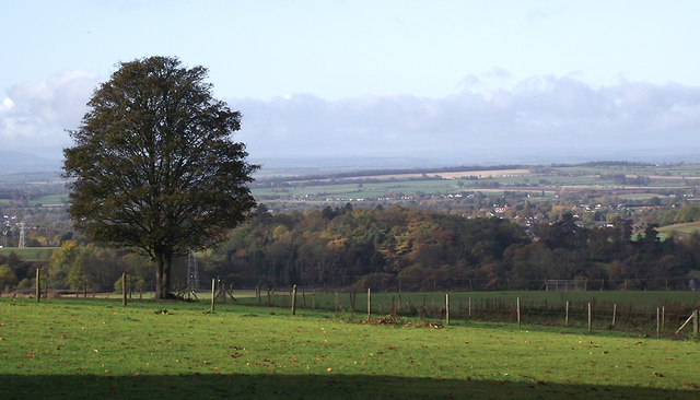
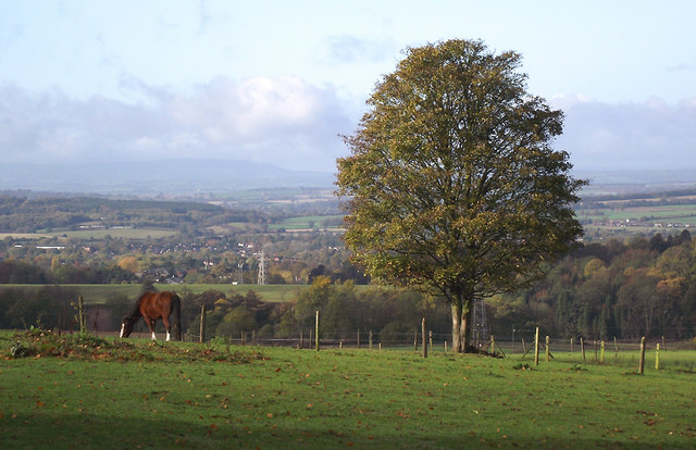
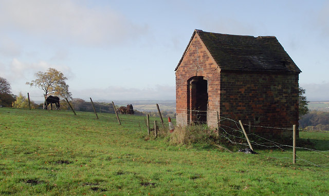
Gospel End Village is a small settlement located in the county of Staffordshire, England. Situated approximately 4 miles northeast of the town of Sedgley, it is nestled in a rural area characterized by rolling hills and farmland. The village is part of the South Staffordshire district and falls within the Dudley Metropolitan Borough.

Despite its modest size, Gospel End Village boasts a rich history that dates back centuries. The name itself is believed to have derived from the Old English word "gospel" meaning a good spell or message, and "end" referring to the village's location at the edge of the land.

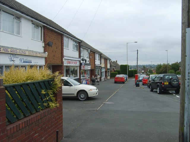
The village is characterized by a mix of architectural styles, showcasing its evolution over time. Traditional cottages made from local stone can be seen alongside more modern buildings, reflecting the changing needs of the community.

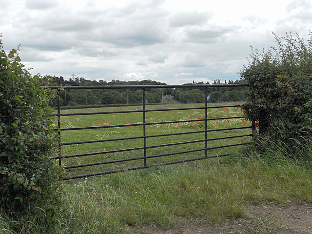
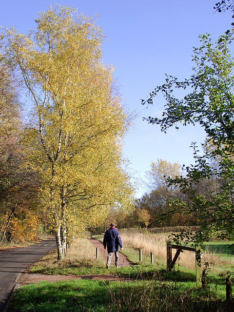
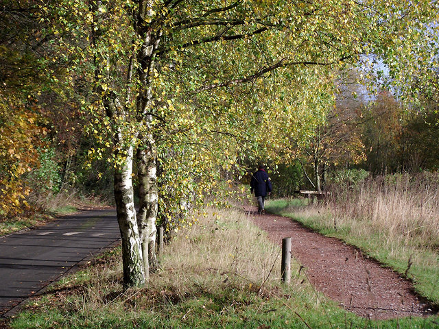
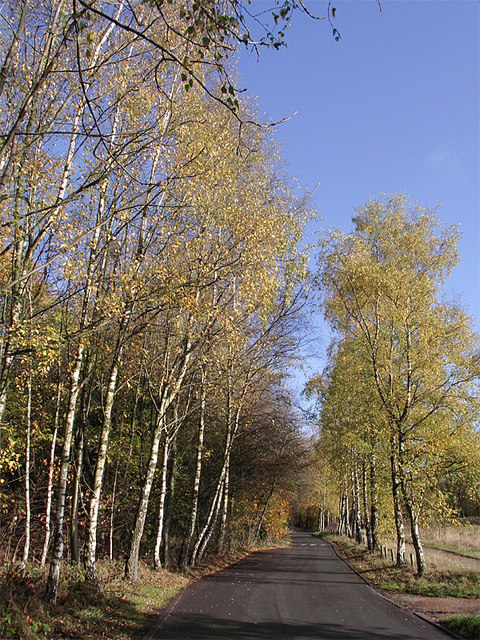
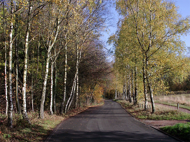
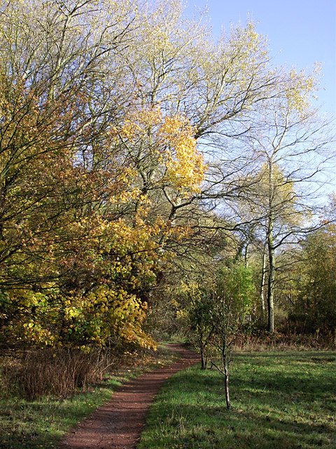
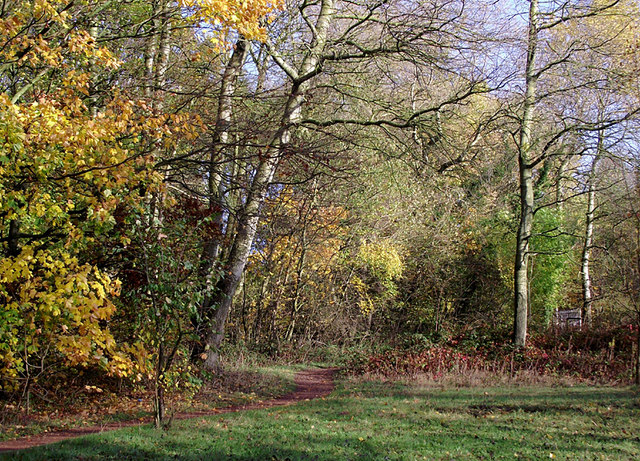
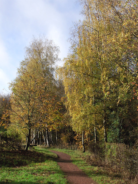
While Gospel End Village does not have its own amenities, residents benefit from being within easy reach of nearby towns and villages, offering a range of services and facilities. The surrounding countryside provides ample opportunities for outdoor activities such as walking and cycling, with several footpaths and trails meandering through the picturesque landscape.

Gospel End Village exudes a peaceful and close-knit atmosphere, with a strong sense of community evident through local events and activities. The residents take pride in their village's heritage and work together to preserve its charm and character.

If you have any feedback on the listing, please let us know in the comments section below.

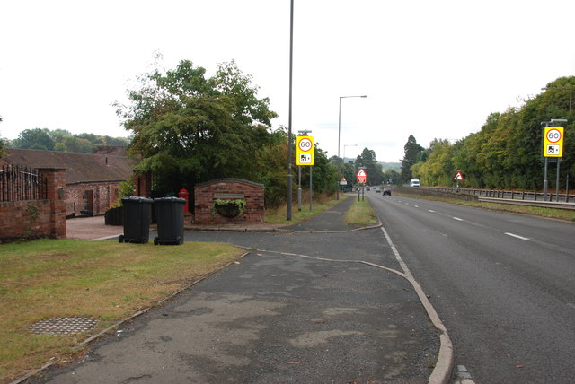
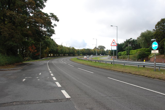
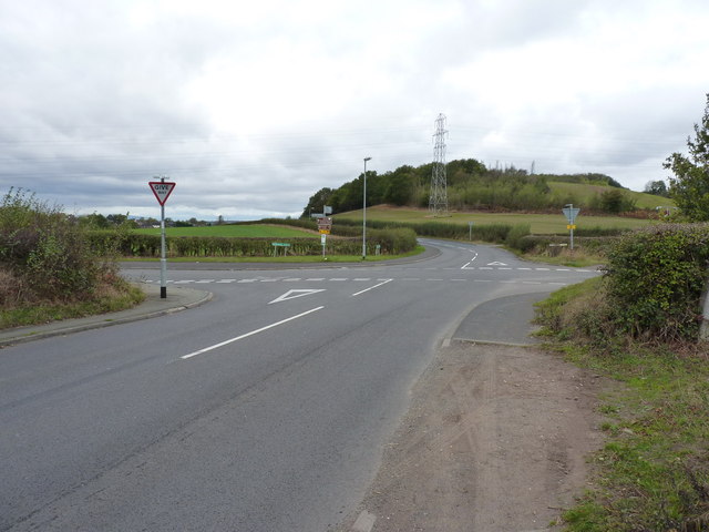
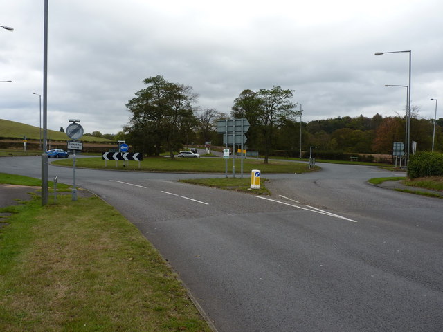
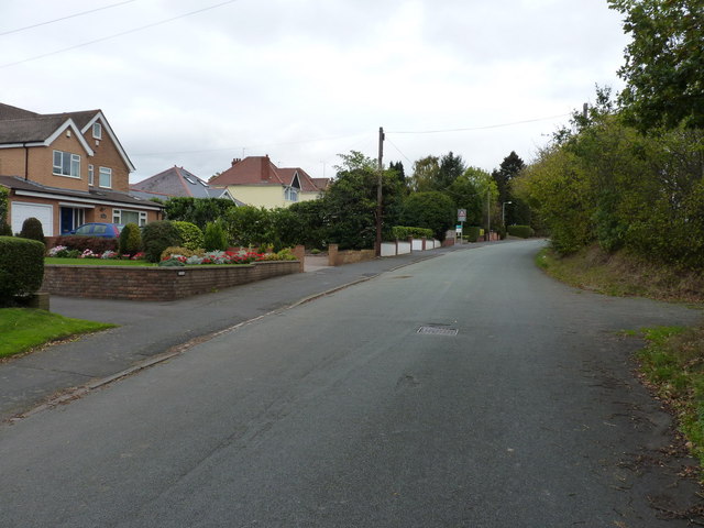
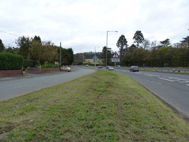
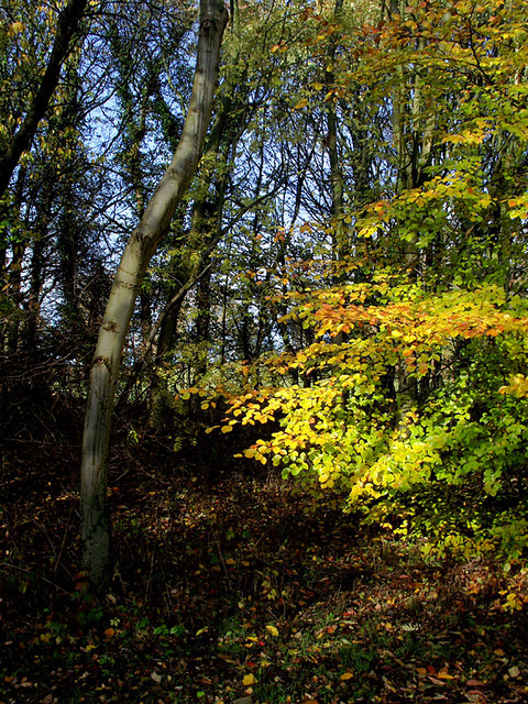
Gospel End Village Images

Images are sourced within 2km of 52.541528/-2.149732 or Grid Reference SO8993. Thanks to Geograph Open Source API. All images are credited.

Gated field adjacent the A449
A449 Dual Carriageway, Stourbridge Road Lloyd House Barns are on the left, the barns have been converted to housing.
A449 Dual Carriageway, Stourbridge Road
Lloyd House Barns are on the left, the barns have been converted to housing.
Bend in the Road, A449 This bend has been the scene of many accidents.
Bend in the Road, A449
This bend has been the scene of many accidents.
Junction of Billy Buns and Withymere Lanes, Wombourne The wooded southern end of Orton Hill overlooks Wombourne.
Junction of Billy Buns and Withymere Lanes, Wombourne
The wooded southern end of Orton Hill overlooks Wombourne.
Wombourne roundabout on the A463
The old Stourbridge Road, near Wombourne Houses beside the old road, which has now been dualled.
The old Stourbridge Road, near Wombourne
Houses beside the old road, which has now been dualled.
Two roads for the price of one The old road on the left still gives access to the houses on its side; the dual carriageway takes traffic between Wolverhampton and Stourbridge.
Two roads for the price of one
The old road on the left still gives access to the houses on its side; the dual carriageway takes traffic between Wolverhampton and Stourbridge.
Woodland in Baggeridge Country Park, near Sedgley These woods are by the road north of the visitor centre near Gospel End. 
Baggeridge Country Park is an attractive area of countryside near Dudley and Wolverhampton. It was formerly the Baggeridge Colliery. Together with part of the original Himley Estate of the Earls of Dudley, the whole site has been transformed into 150 acres of attractive country park, including woodland, lakes, and open grassed areas.
Woodland in Baggeridge Country Park, near Sedgley
These woods are by the road north of the visitor centre near Gospel End. Baggeridge Country Park is an attractive area of countryside near Dudley and Wolverhampton. It was formerly the Baggeridge Colliery. Together with part of the original Himley Estate of the Earls of Dudley, the whole site has been transformed into 150 acres of attractive country park, including woodland, lakes, and open grassed areas.
 Baggeridge Country Park, near Sedgley The road links the car parks to Woodhouse Lane (A463) near Gospel End. The Upper Meadow is on the right.

Baggeridge Country Park is an attractive area of countryside near Dudley and Wolverhampton. It was formerly the Baggeridge Colliery. Together with part of the original Himley Estate of the Earls of Dudley, the whole site has been transformed into 150 acres of attractive country park, including woodland, lakes, and open grassed areas. <span class="nowrap"><a title="http://www.sstaffs.gov.uk/default.aspx?page=12695" rel="nofollow ugc noopener" href="http://www.sstaffs.gov.uk/default.aspx?page=12695">Link</a><img style="margin-left:2px;" alt="External link" title="External link - shift click to open in new window" src="https://s1.geograph.org.uk/img/external.png" width="10" height="10"/></span>
Baggeridge Country Park, near Sedgley
The road links the car parks to Woodhouse Lane (A463) near Gospel End. The Upper Meadow is on the right. Baggeridge Country Park is an attractive area of countryside near Dudley and Wolverhampton. It was formerly the Baggeridge Colliery. Together with part of the original Himley Estate of the Earls of Dudley, the whole site has been transformed into 150 acres of attractive country park, including woodland, lakes, and open grassed areas. LinkExternal link
 Baggeridge Country Park, near Sedgley The road links the car parks to Woodhouse Lane (A463) near Gospel End. The Upper Meadow is off to the right.
Baggeridge Country Park, near Sedgley
The road links the car parks to Woodhouse Lane (A463) near Gospel End. The Upper Meadow is off to the right.
The Road to Gospel End near Sedgley The private road is in Baggeridge Country Park and links the car parks to Woodhouse Lane (A463) near Gospel End.
The Road to Gospel End near Sedgley
The private road is in Baggeridge Country Park and links the car parks to Woodhouse Lane (A463) near Gospel End.
The Road to Gospel End near Sedgley The private road is in Baggeridge Country Park and links the car parks to Woodhouse Lane (A463) near Gospel End.
The Road to Gospel End near Sedgley
The private road is in Baggeridge Country Park and links the car parks to Woodhouse Lane (A463) near Gospel End.
Pathway in Baggeridge Country Park near Sedgley This is at the north end of Upper Meadow, looking towards Gospel End.
Pathway in Baggeridge Country Park near Sedgley
This is at the north end of Upper Meadow, looking towards Gospel End.
Pathway in Baggeridge Country Park near Sedgley This is at the north end of Upper Meadow, looking towards Gospel End.
Pathway in Baggeridge Country Park near Sedgley
This is at the north end of Upper Meadow, looking towards Gospel End.
Pathway in Baggeridge Country Park near Sedgley This is at the north end of Upper Meadow, looking away from Gospel End. The driveway from the A453 Wodehouse Road passes through the birch trees on the right.
Pathway in Baggeridge Country Park near Sedgley
This is at the north end of Upper Meadow, looking away from Gospel End. The driveway from the A453 Wodehouse Road passes through the birch trees on the right.
Farmland and woodland near Gospel End, Staffordshire Looking towards Wombourne past deciduous woodland at The Foxhills. Beyond the nearby fields is the wide valley occupied by the Smestow Brook.
Farmland and woodland near Gospel End, Staffordshire
Looking towards Wombourne past deciduous woodland at The Foxhills. Beyond the nearby fields is the wide valley occupied by the Smestow Brook.
Pasture and woodland near Gospel End, Staffordshire Looking towards Wombourne past deciduous woodland at The Foxhills. Beyond the nearby fields is the wide valley occupied by the Smestow Brook.
Pasture and woodland near Gospel End, Staffordshire
Looking towards Wombourne past deciduous woodland at The Foxhills. Beyond the nearby fields is the wide valley occupied by the Smestow Brook.
Farm outhouse in pasture near Gospel End, Staffordshire Beyond the nearby fields is the wide valley occupied by the Smestow Brook.
Farm outhouse in pasture near Gospel End, Staffordshire
Beyond the nearby fields is the wide valley occupied by the Smestow Brook.
Show me another place!

Gospel End Village is located at Grid Ref: SO8993 (Lat: 52.541528, Lng: -2.149732)

Administrative County: Staffordshire

District: South Staffordshire

Police Authority: Staffordshire

What 3 Words

///advice.swim.paid. Near Wombourn, Staffordshire

Related Wikis

Gospel End

Gospel End is a village in the South Staffordshire district of Staffordshire, England. Population details taken at the 2011 census can be found under...

Baggeridge Country Park

Baggeridge Country Park is located within the South Staffordshire district of Staffordshire, England. Its entrance is on the A463 just west of Gospel End...

Baggeridge Colliery

Baggeridge Colliery was a colliery located in Sedgley, West Midlands England. == Colliery History == The Baggeridge Colliery was an enterprise of the Earls...

The Wodehouse

The Wodehouse is a Grade II* listed English country house near Wombourne, Staffordshire, notable as the family seat of the Georgian landscape designer...

Alder Coppice

Alder Coppice is a local nature reserve in West Midlands, England. It is near Sedgley, next to the Northway Estate, in the Metropolitan Borough of Dudley...

St Bartholomew's Church, Penn

St Bartholomew's Church is in Penn, a district of Wolverhampton, West Midlands, England. It is an active Anglican parish church in the deanery of Trysull...

Straits Estate

Straits Estate is a housing estate located near Sedgley, West Midlands, England, to the north-west of Gornal Ward, and was built for homeowners during...

Sedgley

Sedgley is a town in the north of the Metropolitan Borough of Dudley, in the West Midlands, England.Historically part of Staffordshire, Sedgley is on the...

Nearby Amenities

Located within 500m of 52.541528,-2.149732
Gospel End
Created By: Potlatch 0.10f
Place: village
Wikidata: Q3624448
Lat/Long: 52.5412844/-2.147937
Penn Road
Naptan AtcoCode: 3800C631101
Naptan Bearing: N
Naptan BusStopType: CUS
Naptan CommonName: Penn Road
Naptan Indicator: Opp 52
Naptan Landmark: No 52
Naptan Street: Penn Road
Naptan Verified: no
Source: naptan_import
Lat/Long: 52.5435461/-2.150112
Penn Road
Naptan AtcoCode: 3800C631102
Naptan Bearing: S
Naptan BusStopType: CUS
Naptan CommonName: Penn Road
Naptan Indicator: Adj 52
Naptan Landmark: No 52
Naptan Street: Penn Road
Naptan Verified: no
Source: naptan_import
Lat/Long: 52.5435374/-2.1499202
Bus Stop
Baggeridge Close
Bus: yes
Naptan AtcoCode: 3800C640401
Naptan Bearing: E
Naptan CommonName: Baggeridge Close
Naptan Indicator: Opp
Naptan Landmark: Baggeridge Close
Naptan Street: Gospel End Rd
Naptan Verified: no
Public Transport: platform
Source: naptan_import
Lat/Long: 52.5406544/-2.1476397
Bus Stop
Baggeridge Close
Bus: yes
Naptan AtcoCode: 3800C640402
Naptan Bearing: W
Naptan CommonName: Fir Street
Naptan Indicator: Adj
Naptan Landmark: Fir Street
Naptan Street: Gospel End Road
Naptan Verified: no
Public Transport: platform
Source: naptan_import
Lat/Long: 52.5406266/-2.1483031
Bus Stop
The Summerhouse PH
Bus: yes
Naptan AtcoCode: 3800C640501
Naptan Bearing: W
Naptan CommonName: The Summerhouse PH
Naptan Indicator: Opp
Naptan Landmark: The Summerhouse PH
Naptan Street: Gospel End Rd
Naptan Verified: no
Public Transport: platform
Source: naptan_import
Lat/Long: 52.5404073/-2.1443393
Bus Stop
The Summerhouse PH
Bus: yes
Naptan AtcoCode: 3800C640502
Naptan Bearing: E
Naptan CommonName: The Summerhouse PH
Naptan Indicator: Adj
Naptan Landmark: The Summerhouse PH
Naptan Street: Gospel End Road
Naptan Verified: no
Public Transport: platform
Source: naptan_import
Lat/Long: 52.5405316/-2.1451769
Turning Circle
Lat/Long: 52.5377761/-2.1484951
Barrier: kissing_gate
Bicycle: no
Foot: yes
Lat/Long: 52.5376927/-2.1498136
Barrier: lift_gate
Bicycle: yes
Foot: yes
Lat/Long: 52.5377401/-2.1500189
Barrier: stile
Foot: yes
Lat/Long: 52.5447694/-2.1463358
Ford: yes
Lat/Long: 52.5427858/-2.1452203
Barrier: kissing_gate
Foot: yes
Lat/Long: 52.542626/-2.1442276
Barrier: stile
Foot: yes
Lat/Long: 52.542011/-2.1426371
Post Box
Brand: Royal Mail
Brand Wikidata: Q638098
Brand Wikipedia: en:Royal Mail
Collection Times: Mo-Fr 09:00; Sa 07:00
Operator: Royal Mail
Operator Wikidata: Q638098
Post Box Type: lamp
Ref: DY3 123D
Royal Cypher: EIIR
Royal Cypher Wikidata: Q33102113
Source: survey
Lat/Long: 52.5405283/-2.1467921
Generator Method: photovoltaic
Generator Output Electricity: yes
Generator Source: solar
Generator Type: solar_photovoltaic_panel
Location: roof
Power: generator
Lat/Long: 52.5407284/-2.1460247
Marker: pedestal
Utility: gas
Lat/Long: 52.5406607/-2.1549215
Marker: aerial
Utility: gas
Lat/Long: 52.5405806/-2.1548188
Marker: pedestal
Utility: gas
Lat/Long: 52.5405965/-2.1548571
The data included in this document is from www.openstreetmap.org. The data is made available under ODbL.

Have you been to Gospel End Village?

Leave your review of Gospel End Village below (or comments, questions and feedback).