Gospel End Common

Wood, Forest in Staffordshire South Staffordshire

England

Gospel End Common

Looking Up Battlefield Hill To The Red Lion. Wombourne.
Looking Up Battlefield Hill To The Red Lion. Wombourne. Credit: Mick Malpass

Gospel End Common is a charming woodland area located in Staffordshire, England. Nestled within the Cannock Chase Forest, this common is a haven for nature enthusiasts and outdoor lovers. The common is situated near the village of Gospel End, which adds to its serene and peaceful atmosphere.

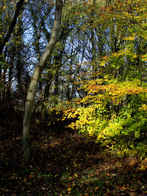
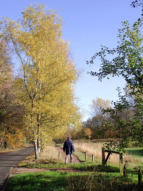
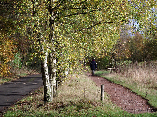
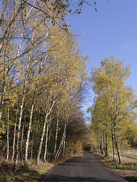
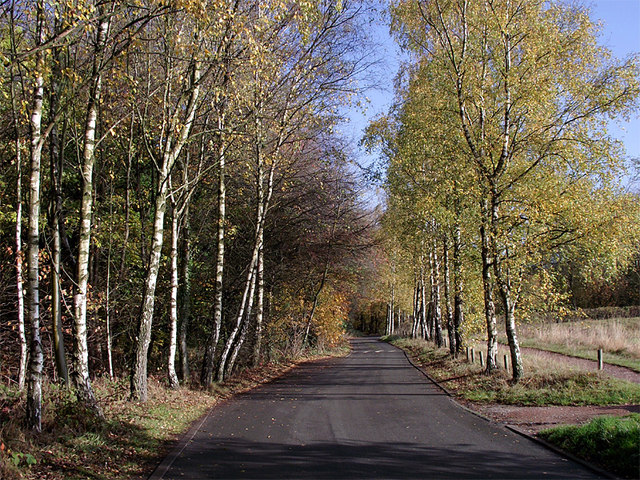
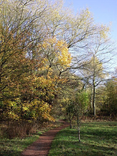
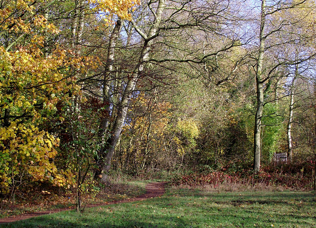
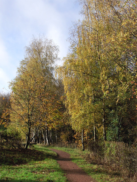
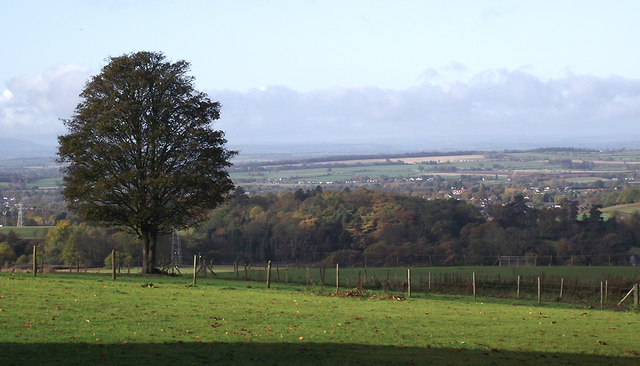
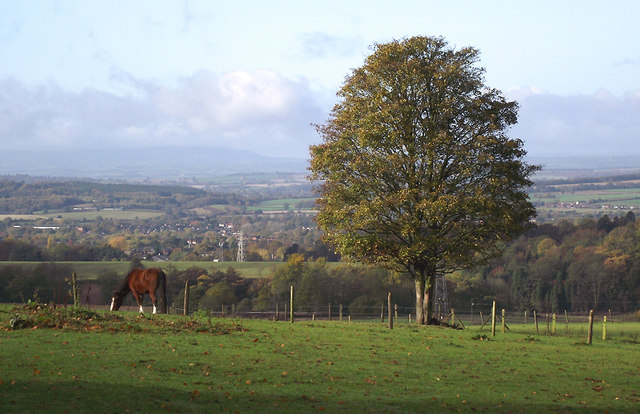
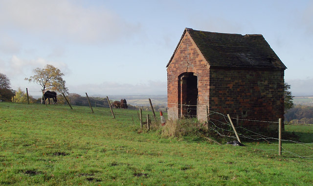
Covering an extensive area, Gospel End Common is characterized by its dense woodland, consisting primarily of broadleaf trees such as oak, birch, and beech. The forest floor is adorned with a rich variety of flora, including bluebells, wild garlic, and foxgloves, creating a beautiful and vibrant landscape. The common is also home to a diverse range of wildlife, including deer, foxes, badgers, and numerous bird species.

Visitors to Gospel End Common can enjoy a number of activities, including walking, hiking, and cycling. There are several well-marked trails that wind through the forest, offering stunning views and opportunities for wildlife spotting. The common is also a popular destination for picnics and family outings, with ample space for relaxation and recreation.

For those interested in history, Gospel End Common holds significance as it was once part of the hunting grounds of the wealthy and influential Bishops of Lichfield during the medieval period. Today, the common stands as a testament to the area's natural beauty and offers a tranquil escape from the hustle and bustle of everyday life.

If you have any feedback on the listing, please let us know in the comments section below.

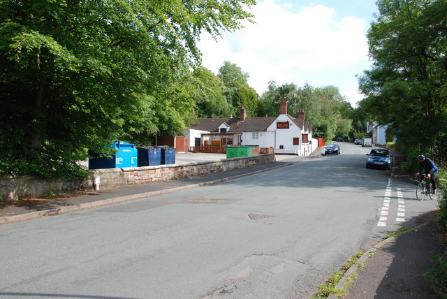
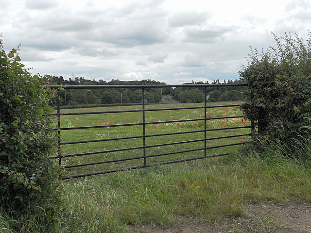
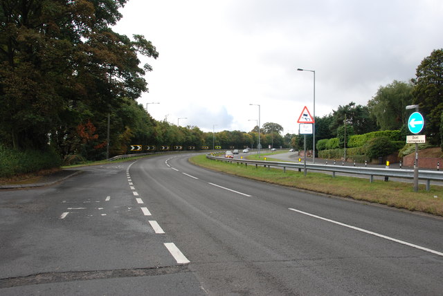
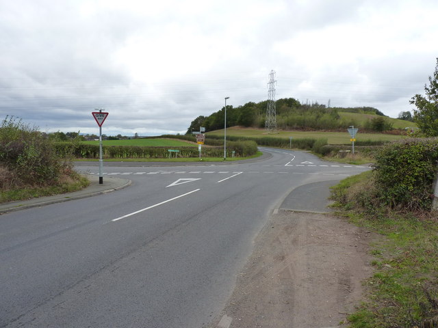
Gospel End Common Images

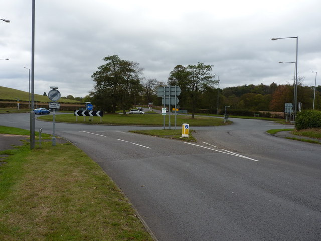
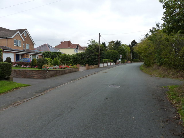
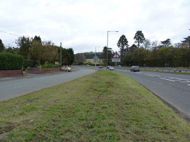
Images are sourced within 2km of 52.538722/-2.1512715 or Grid Reference SO8993. Thanks to Geograph Open Source API. All images are credited.

Looking Up Battlefield Hill To The Red Lion. Wombourne.
Gated field adjacent the A449
Bend in the Road, A449 This bend has been the scene of many accidents.
Bend in the Road, A449
This bend has been the scene of many accidents.
Junction of Billy Buns and Withymere Lanes, Wombourne The wooded southern end of Orton Hill overlooks Wombourne.
Junction of Billy Buns and Withymere Lanes, Wombourne
The wooded southern end of Orton Hill overlooks Wombourne.
Wombourne roundabout on the A463
The old Stourbridge Road, near Wombourne Houses beside the old road, which has now been dualled.
The old Stourbridge Road, near Wombourne
Houses beside the old road, which has now been dualled.
Two roads for the price of one The old road on the left still gives access to the houses on its side; the dual carriageway takes traffic between Wolverhampton and Stourbridge.
Two roads for the price of one
The old road on the left still gives access to the houses on its side; the dual carriageway takes traffic between Wolverhampton and Stourbridge.
Woodland in Baggeridge Country Park, near Sedgley These woods are by the road north of the visitor centre near Gospel End. 
Baggeridge Country Park is an attractive area of countryside near Dudley and Wolverhampton. It was formerly the Baggeridge Colliery. Together with part of the original Himley Estate of the Earls of Dudley, the whole site has been transformed into 150 acres of attractive country park, including woodland, lakes, and open grassed areas.
Woodland in Baggeridge Country Park, near Sedgley
These woods are by the road north of the visitor centre near Gospel End. Baggeridge Country Park is an attractive area of countryside near Dudley and Wolverhampton. It was formerly the Baggeridge Colliery. Together with part of the original Himley Estate of the Earls of Dudley, the whole site has been transformed into 150 acres of attractive country park, including woodland, lakes, and open grassed areas.
 Baggeridge Country Park, near Sedgley The road links the car parks to Woodhouse Lane (A463) near Gospel End. The Upper Meadow is on the right.

Baggeridge Country Park is an attractive area of countryside near Dudley and Wolverhampton. It was formerly the Baggeridge Colliery. Together with part of the original Himley Estate of the Earls of Dudley, the whole site has been transformed into 150 acres of attractive country park, including woodland, lakes, and open grassed areas. <span class="nowrap"><a title="http://www.sstaffs.gov.uk/default.aspx?page=12695" rel="nofollow ugc noopener" href="http://www.sstaffs.gov.uk/default.aspx?page=12695">Link</a><img style="margin-left:2px;" alt="External link" title="External link - shift click to open in new window" src="https://s1.geograph.org.uk/img/external.png" width="10" height="10"/></span>
Baggeridge Country Park, near Sedgley
The road links the car parks to Woodhouse Lane (A463) near Gospel End. The Upper Meadow is on the right. Baggeridge Country Park is an attractive area of countryside near Dudley and Wolverhampton. It was formerly the Baggeridge Colliery. Together with part of the original Himley Estate of the Earls of Dudley, the whole site has been transformed into 150 acres of attractive country park, including woodland, lakes, and open grassed areas. LinkExternal link
 Baggeridge Country Park, near Sedgley The road links the car parks to Woodhouse Lane (A463) near Gospel End. The Upper Meadow is off to the right.
Baggeridge Country Park, near Sedgley
The road links the car parks to Woodhouse Lane (A463) near Gospel End. The Upper Meadow is off to the right.
The Road to Gospel End near Sedgley The private road is in Baggeridge Country Park and links the car parks to Woodhouse Lane (A463) near Gospel End.
The Road to Gospel End near Sedgley
The private road is in Baggeridge Country Park and links the car parks to Woodhouse Lane (A463) near Gospel End.
The Road to Gospel End near Sedgley The private road is in Baggeridge Country Park and links the car parks to Woodhouse Lane (A463) near Gospel End.
The Road to Gospel End near Sedgley
The private road is in Baggeridge Country Park and links the car parks to Woodhouse Lane (A463) near Gospel End.
Pathway in Baggeridge Country Park near Sedgley This is at the north end of Upper Meadow, looking towards Gospel End.
Pathway in Baggeridge Country Park near Sedgley
This is at the north end of Upper Meadow, looking towards Gospel End.
Pathway in Baggeridge Country Park near Sedgley This is at the north end of Upper Meadow, looking towards Gospel End.
Pathway in Baggeridge Country Park near Sedgley
This is at the north end of Upper Meadow, looking towards Gospel End.
Pathway in Baggeridge Country Park near Sedgley This is at the north end of Upper Meadow, looking away from Gospel End. The driveway from the A463 Wodehouse Road passes through the birch trees on the right.
Pathway in Baggeridge Country Park near Sedgley
This is at the north end of Upper Meadow, looking away from Gospel End. The driveway from the A463 Wodehouse Road passes through the birch trees on the right.
Farmland and woodland near Gospel End, Staffordshire Looking towards Wombourne past deciduous woodland at The Foxhills. Beyond the nearby fields is the wide valley occupied by the Smestow Brook.
Farmland and woodland near Gospel End, Staffordshire
Looking towards Wombourne past deciduous woodland at The Foxhills. Beyond the nearby fields is the wide valley occupied by the Smestow Brook.
Pasture and woodland near Gospel End, Staffordshire Looking towards Wombourne past deciduous woodland at The Foxhills. Beyond the nearby fields is the wide valley occupied by the Smestow Brook.
Pasture and woodland near Gospel End, Staffordshire
Looking towards Wombourne past deciduous woodland at The Foxhills. Beyond the nearby fields is the wide valley occupied by the Smestow Brook.
Farm outhouse in pasture near Gospel End, Staffordshire Beyond the nearby fields is the wide valley occupied by the Smestow Brook.
Farm outhouse in pasture near Gospel End, Staffordshire
Beyond the nearby fields is the wide valley occupied by the Smestow Brook.
Show me another place!

Gospel End Common is located at Grid Ref: SO8993 (Lat: 52.538722, Lng: -2.1512715)

Administrative County: Staffordshire

District: South Staffordshire

Police Authority: Staffordshire

What 3 Words

///tunes.keys.split. Near Wombourn, Staffordshire

Related Wikis

Gospel End

Gospel End is a village in the South Staffordshire district of Staffordshire, England. Population details taken at the 2011 census can be found under...

Baggeridge Country Park

Baggeridge Country Park is located within the South Staffordshire district of Staffordshire, England. Its entrance is on the A463 just west of Gospel End...

Baggeridge Colliery

Baggeridge Colliery was a colliery located in Sedgley, West Midlands England. == Colliery History == The Baggeridge Colliery was an enterprise of the Earls...

The Wodehouse

The Wodehouse is a Grade II* listed English country house near Wombourne, Staffordshire, notable as the family seat of the Georgian landscape designer...

Nearby Amenities

Located within 500m of 52.538722,-2.1512715
Gospel End
Created By: Potlatch 0.10f
Place: village
Wikidata: Q3624448
Lat/Long: 52.5412844/-2.147937
Cafe
Lat/Long: 52.5353243/-2.1524371
Bus Stop
Baggeridge Close
Bus: yes
Naptan AtcoCode: 3800C640401
Naptan Bearing: E
Naptan CommonName: Baggeridge Close
Naptan Indicator: Opp
Naptan Landmark: Baggeridge Close
Naptan Street: Gospel End Rd
Naptan Verified: no
Public Transport: platform
Source: naptan_import
Lat/Long: 52.5406544/-2.1476397
Bus Stop
Baggeridge Close
Bus: yes
Naptan AtcoCode: 3800C640402
Naptan Bearing: W
Naptan CommonName: Fir Street
Naptan Indicator: Adj
Naptan Landmark: Fir Street
Naptan Street: Gospel End Road
Naptan Verified: no
Public Transport: platform
Source: naptan_import
Lat/Long: 52.5406266/-2.1483031
Bus Stop
The Summerhouse PH
Bus: yes
Naptan AtcoCode: 3800C640502
Naptan Bearing: E
Naptan CommonName: The Summerhouse PH
Naptan Indicator: Adj
Naptan Landmark: The Summerhouse PH
Naptan Street: Gospel End Road
Naptan Verified: no
Public Transport: platform
Source: naptan_import
Lat/Long: 52.5405316/-2.1451769
Turning Circle
Lat/Long: 52.5377761/-2.1484951
Barrier: kissing_gate
Bicycle: no
Foot: yes
Lat/Long: 52.5376927/-2.1498136
Barrier: lift_gate
Bicycle: yes
Foot: yes
Lat/Long: 52.5377401/-2.1500189
Turning Circle
Lat/Long: 52.5374348/-2.1456688
Post Box
Brand: Royal Mail
Brand Wikidata: Q638098
Brand Wikipedia: en:Royal Mail
Collection Times: Mo-Fr 09:00; Sa 07:00
Operator: Royal Mail
Operator Wikidata: Q638098
Post Box Type: lamp
Ref: DY3 123D
Royal Cypher: EIIR
Royal Cypher Wikidata: Q33102113
Source: survey
Lat/Long: 52.5405283/-2.1467921
Generator Method: photovoltaic
Generator Output Electricity: yes
Generator Source: solar
Generator Type: solar_photovoltaic_panel
Location: roof
Power: generator
Lat/Long: 52.5407284/-2.1460247
Railway: level_crossing
Lat/Long: 52.5348724/-2.1499452
Marker: pedestal
Utility: gas
Lat/Long: 52.5406607/-2.1549215
Marker: aerial
Utility: gas
Lat/Long: 52.5405806/-2.1548188
Marker: pedestal
Utility: gas
Lat/Long: 52.5405965/-2.1548571
The data included in this document is from www.openstreetmap.org. The data is made available under ODbL.

Have you been to Gospel End Common?

Leave your review of Gospel End Common below (or comments, questions and feedback).