Aythorpe Roding

Settlement in Essex Uttlesford

England

Aythorpe Roding

Lane to High Trees Farm ....and to the sewage works.
Lane to High Trees Farm Credit: Trevor Harris

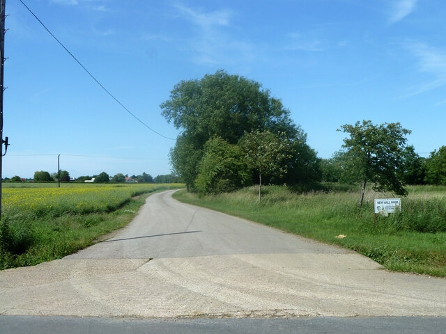
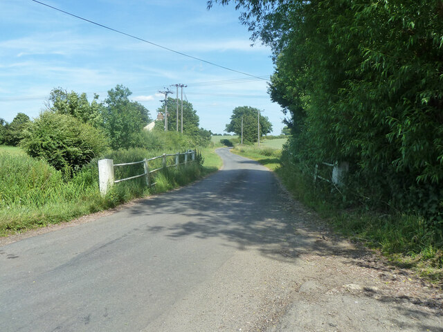
Aythorpe Roding is a small village located in the county of Essex, in the eastern part of England. Situated approximately 40 miles northeast of London, it falls within the district of Uttlesford. The village is nestled in the picturesque countryside, surrounded by rolling hills and verdant farmland.

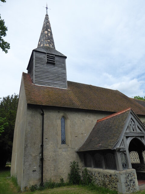
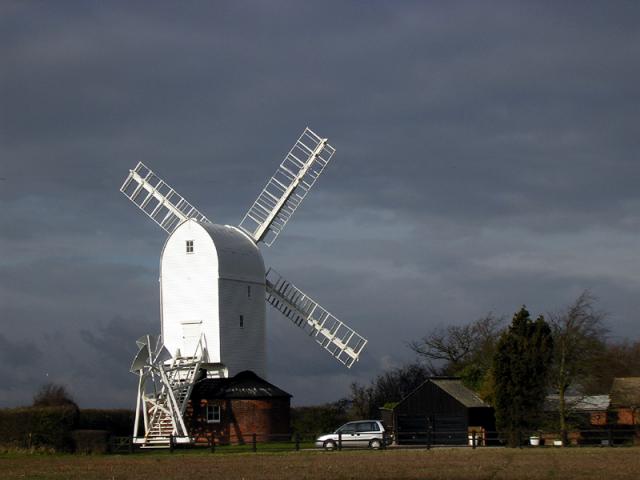
With a population of around 200 residents, Aythorpe Roding boasts a tight-knit community and a tranquil atmosphere. The village is known for its charming and well-preserved historic buildings, including St. Mary's Church, which dates back to the 13th century. The church features stunning architecture and beautiful stained glass windows, making it a popular attraction for visitors.

In terms of amenities, Aythorpe Roding is relatively limited, with only a few local businesses and services. However, the village does have a primary school, providing education for children in the area. For additional amenities, residents typically rely on nearby towns such as Great Dunmow or Chelmsford.

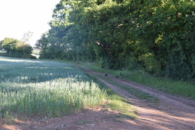
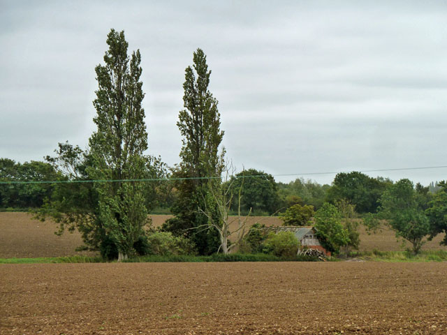
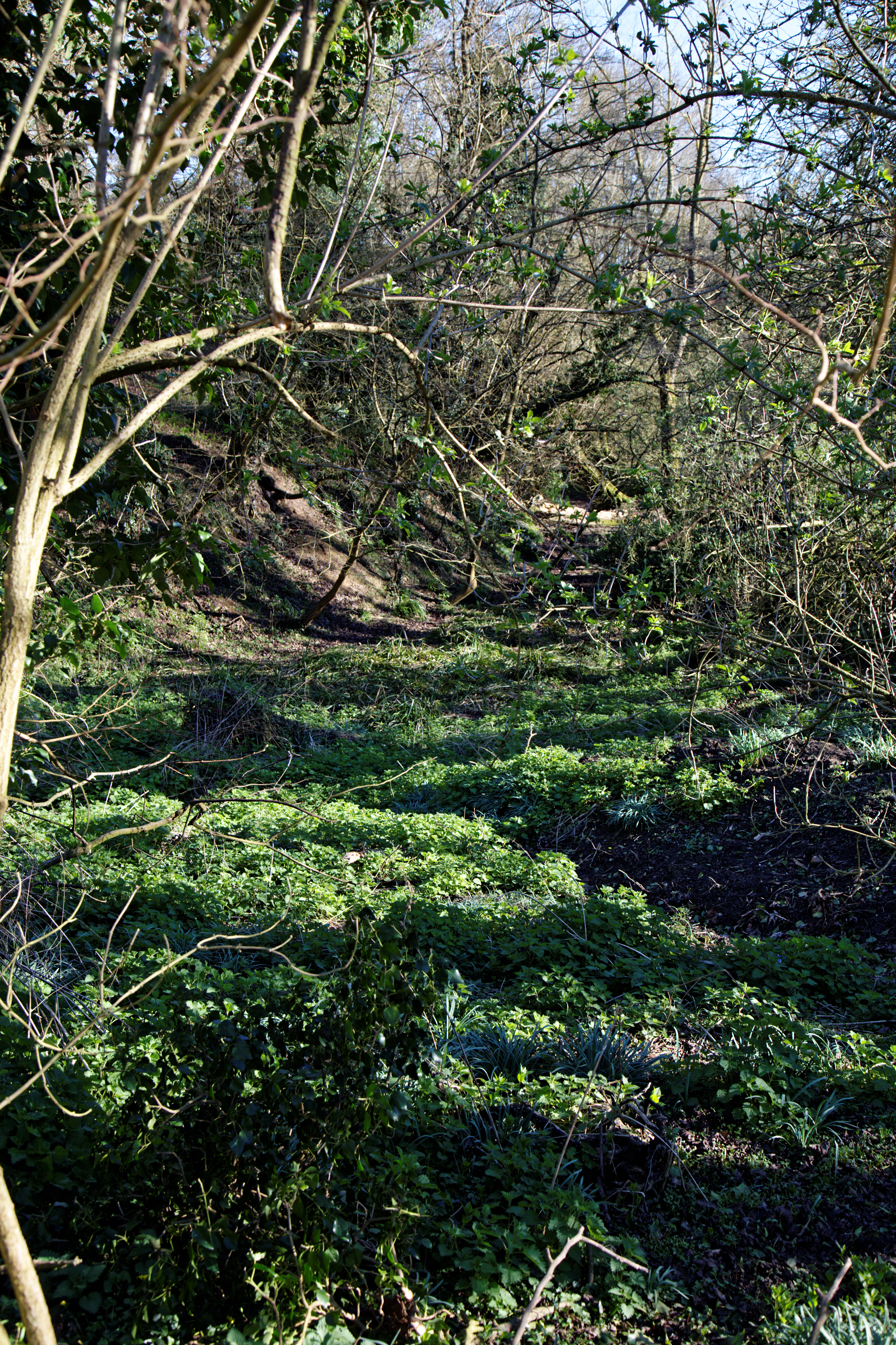
The surrounding countryside offers plenty of opportunities for outdoor activities, such as walking, cycling, and horse riding. Aythorpe Roding is also close to Hatfield Forest, a National Trust property known for its ancient woodland and diverse wildlife.

Overall, Aythorpe Roding is a tranquil and picturesque village, offering a peaceful retreat from the hustle and bustle of city life. Its historic charm, beautiful countryside, and close-knit community make it an attractive place to live or visit.

If you have any feedback on the listing, please let us know in the comments section below.

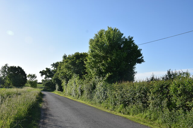
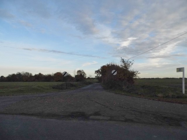
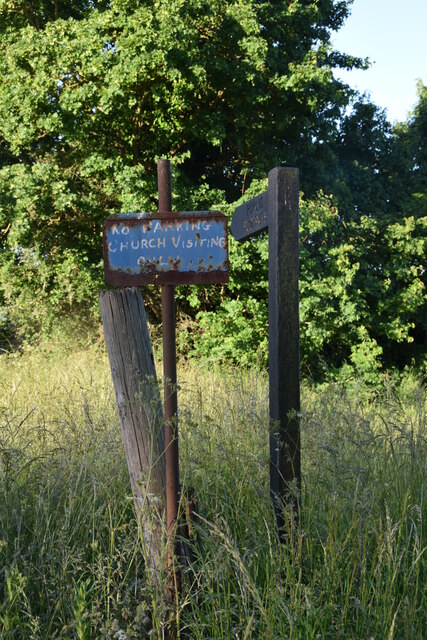
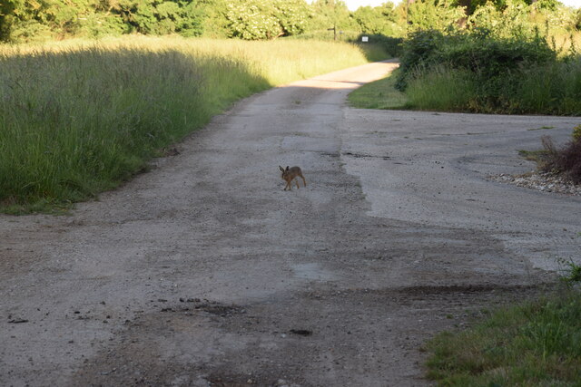
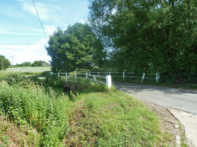
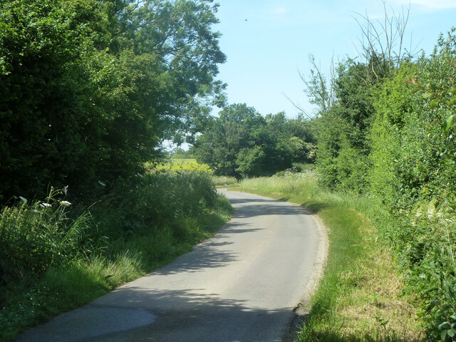
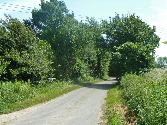
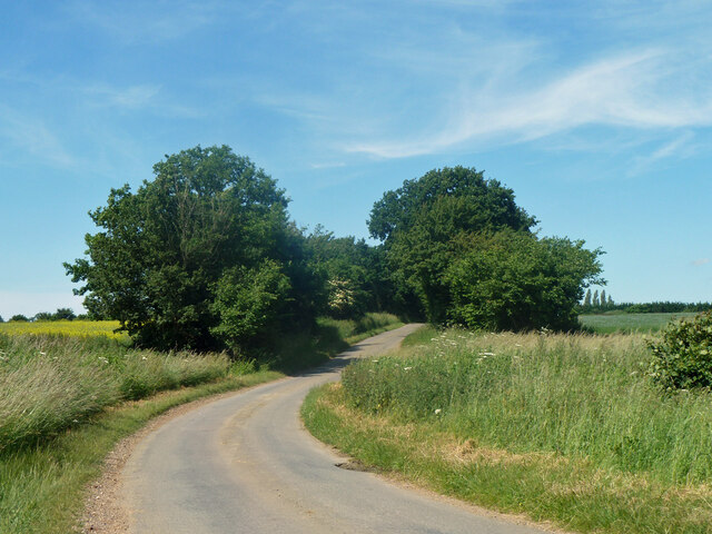
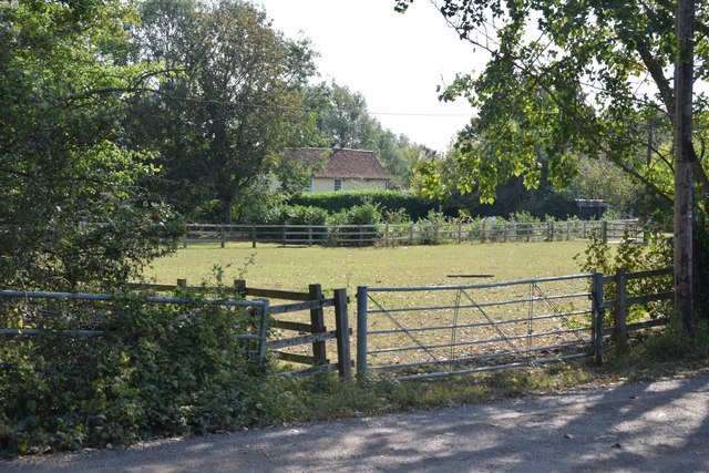
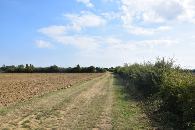
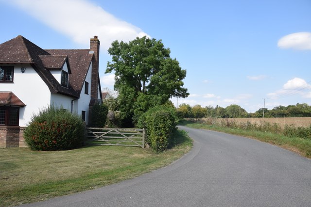
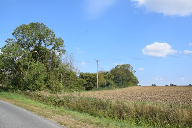
Aythorpe Roding Images

Images are sourced within 2km of 51.816181/0.297325 or Grid Reference TL5815. Thanks to Geograph Open Source API. All images are credited.

Lane to High Trees Farm ....and to the sewage works.
Lane to High Trees Farm
....and to the sewage works.
Road junction in High Roding It's a short lane that leads to a farm
Road junction in High Roding
It's a short lane that leads to a farm
Post, finger post and sign Opposite High Roding parish church.
Post, finger post and sign
Opposite High Roding parish church.
Track approaching High Roding Church - with young hare Taken just south of High Rodingbury Farm.
Track approaching High Roding Church - with young hare
Taken just south of High Rodingbury Farm.
Track to New Hall A public footpath follows the route of the track between High Rodingbury Farm and New Hall. A pair of geese and two goslings are making for the reservoir on the other side of the hedge.
Track to New Hall
A public footpath follows the route of the track between High Rodingbury Farm and New Hall. A pair of geese and two goslings are making for the reservoir on the other side of the hedge.
Aythorpe Roding, St Mary
Private road to New Hall Farm Also public footpath High Roding 45.
Private road to New Hall Farm
Also public footpath High Roding 45.
Broad Bridge on Broad Bridge Road A crossing of the River Roding.
Broad Bridge on Broad Bridge Road
A crossing of the River Roding.
Broad Bridge on Broad Bridge Road A crossing of the River Roding.
Broad Bridge on Broad Bridge Road
A crossing of the River Roding.
Poplars Lane North of Walkers Farm.
Poplars Lane
North of Walkers Farm.
Poplars Lane Towards Walkers Farm.
Poplars Lane
Towards Walkers Farm.
Poplars Lane Towards Poplars Farm.
Poplars Lane
Towards Poplars Farm.
Looking towards Cammas Hall Taken from one of the entrances on Cammas Lane.
Looking towards Cammas Hall
Taken from one of the entrances on Cammas Lane.
Footpath and fields east of Cammas Hall The path heads east from Cammas Cottage towards Aythorpe Roding.
Footpath and fields east of Cammas Hall
The path heads east from Cammas Cottage towards Aythorpe Roding.
House north of Broomshawbury Taken from just outside the private entrance to Broomshawbury Farm.
House north of Broomshawbury
Taken from just outside the private entrance to Broomshawbury Farm.
Field and copse near Woolard's Ash Taken on the lane to Broomshawbury,
Field and copse near Woolard's Ash
Taken on the lane to Broomshawbury,
Barn at former Monk's Farm The barn is the only building left at this site.
Barn at former Monk's Farm
The barn is the only building left at this site.
Restored windmill at Aythorpe Roding Windmills were plentiful in the flat landscape of Essex which is so similar to Holland.  This superb restoration set against a stormy sky is accompanied by a four wheel drive vehicle - almost a badge of modern Essex man.
Restored windmill at Aythorpe Roding
Windmills were plentiful in the flat landscape of Essex which is so similar to Holland. This superb restoration set against a stormy sky is accompanied by a four wheel drive vehicle - almost a badge of modern Essex man.
Show me another place!

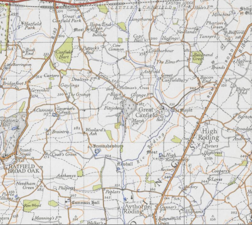
Aythorpe Roding is located at Grid Ref: TL5815 (Lat: 51.816181, Lng: 0.297325)

Administrative County: Essex

District: Uttlesford

Police Authority: Essex

What 3 Words

///succumbs.grandest.thing. Near Hatfield Heath, Essex

Related Wikis

Nearby Amenities

Located within 500m of 51.816181,0.297325
Aythorpe Roding
Place: hamlet
Lat/Long: 51.814563/0.2969338
Power: pole
Lat/Long: 51.8148769/0.2911013
Power: pole
Lat/Long: 51.8167565/0.2940311
Power: pole
Lat/Long: 51.8156949/0.2922367
Power: pole
Lat/Long: 51.8143723/0.2933612
Power: pole
Lat/Long: 51.8155446/0.2933478
Power: pole
Lat/Long: 51.8167136/0.2936885
Power: pole
Lat/Long: 51.8178112/0.293498
Power: pole
Lat/Long: 51.8190133/0.2933693
Power: pole
Lat/Long: 51.8176338/0.2941096
Power: pole
Lat/Long: 51.8186004/0.2941498
Power: pole
Lat/Long: 51.819577/0.294182
The data included in this document is from www.openstreetmap.org. The data is made available under ODbL.

Have you been to Aythorpe Roding?

Leave your review of Aythorpe Roding below (or comments, questions and feedback).