Bury Spring

Wood, Forest in Essex Uttlesford

England

Bury Spring

High Roding A view from he northern end of the village. The early morning sun highlights the little thatched cottage. High Roding is very much a linear settlement with very little development back from The Street - which follows the line of a Roman Road. Some modern development has resulted in some "back streets".
High Roding Credit: Trevor Harris

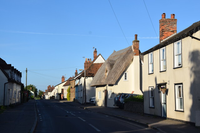
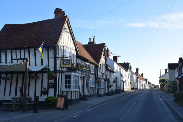
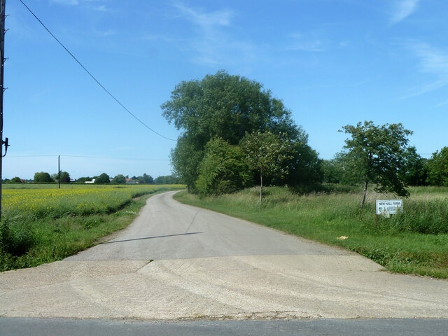
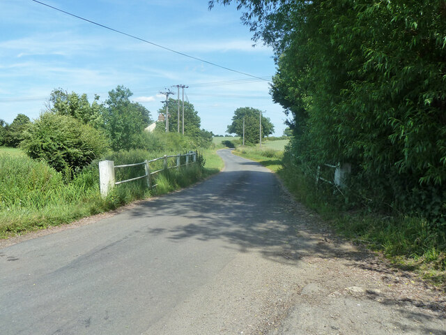
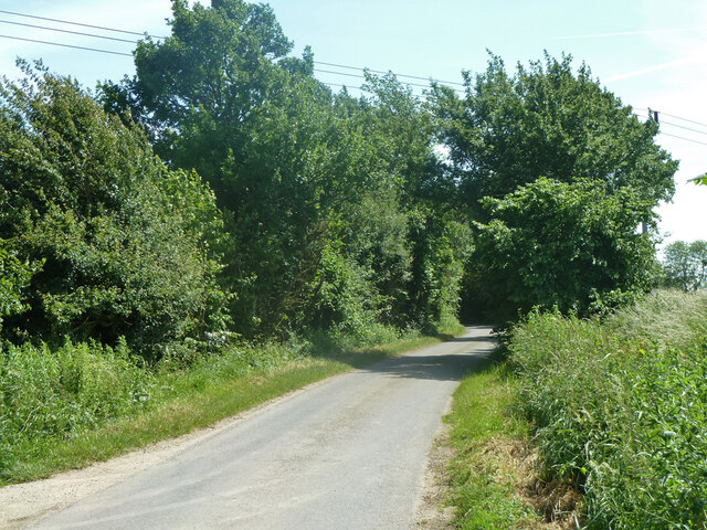
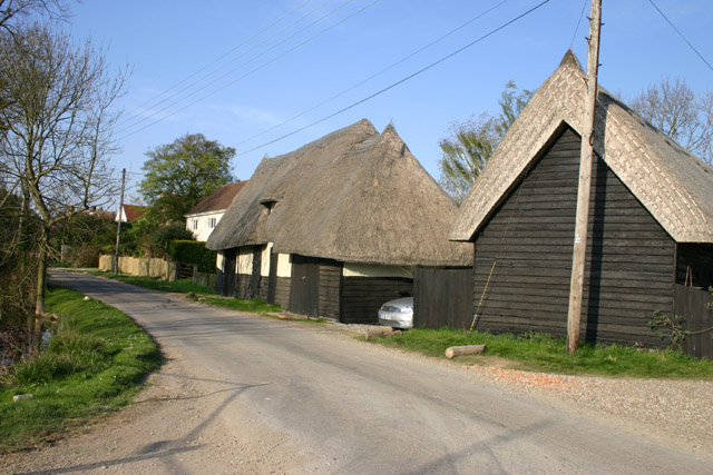
Bury Spring, located in Essex, England, is a picturesque woodland area renowned for its natural beauty and tranquil atmosphere. Situated in the heart of the county, this hidden gem is often considered a haven for nature enthusiasts and those seeking a peaceful escape from the hustle and bustle of urban life.

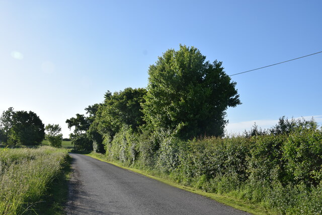
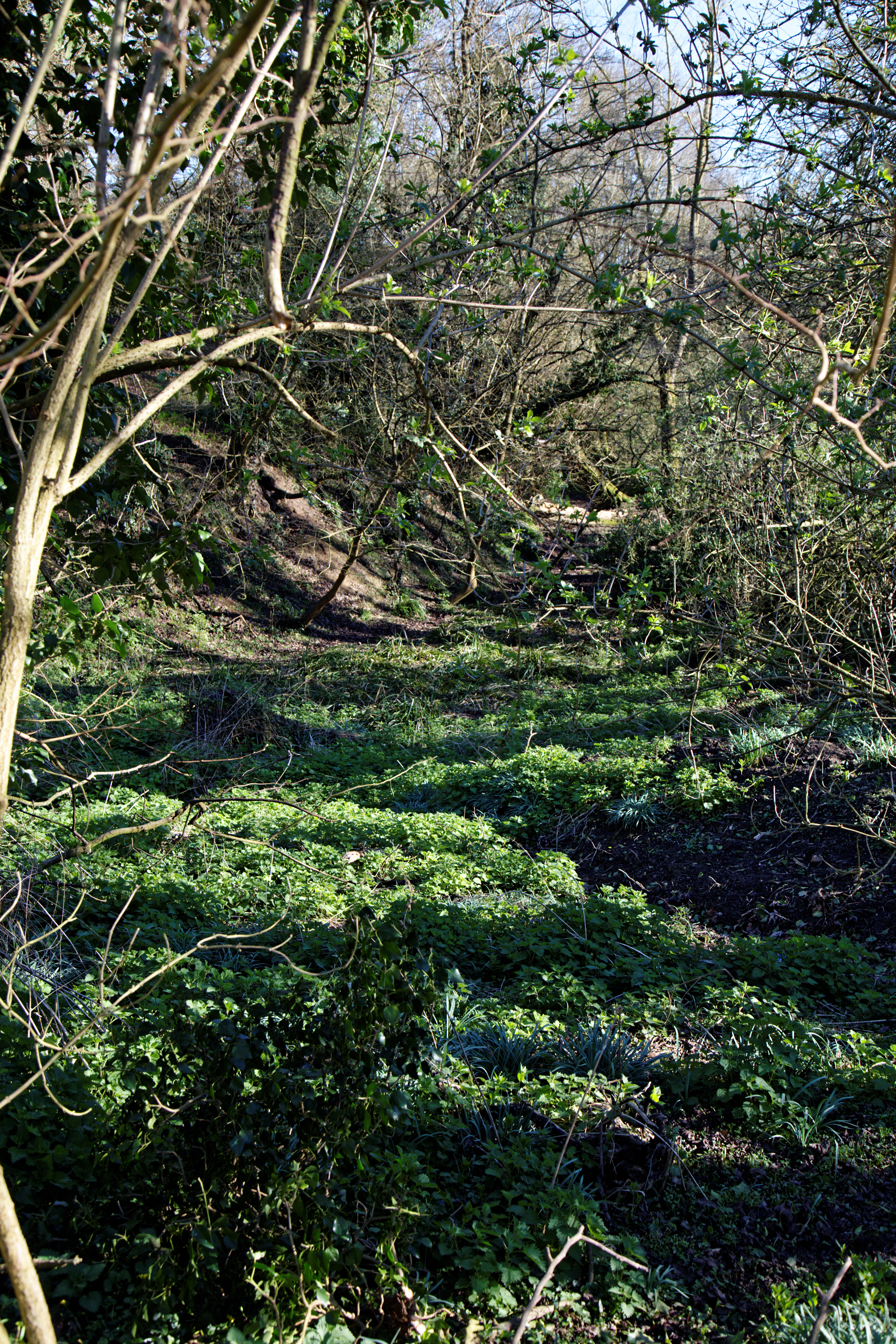
Covering an area of approximately 500 acres, Bury Spring is predominantly characterized by dense woodlands, lush greenery, and an abundance of wildlife. The forest is home to a diverse range of tree species, including oak, beech, and birch, which create a captivating canopy of foliage that changes color with the seasons.

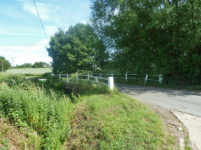
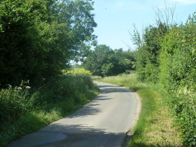
The woodland is crisscrossed with a network of well-maintained footpaths and trails, making it ideal for hiking, walking, and exploring. As visitors venture deeper into the forest, they may stumble upon hidden streams, bubbling brooks, and even a small spring that gives the woodland its name.

Bury Spring has also become a popular spot for birdwatchers, with various species of birds nesting and feeding within the forest. From the melodious songs of the blackbird to the distinctive calls of the woodpecker, the area offers a unique opportunity to observe and appreciate the wonders of avian life.

Visitors to Bury Spring can also enjoy a range of recreational activities, including picnicking, photography, and nature studies. The forest is equipped with picnic areas, benches, and designated viewpoints, allowing visitors to pause, relax, and soak in the tranquil ambiance.

Overall, Bury Spring in Essex is a captivating woodland retreat, offering a respite from the modern world and a chance to reconnect with nature in all its splendor.

If you have any feedback on the listing, please let us know in the comments section below.
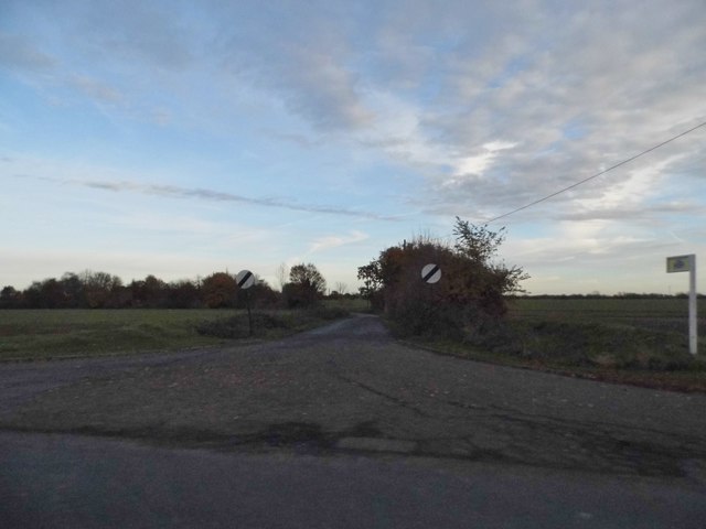
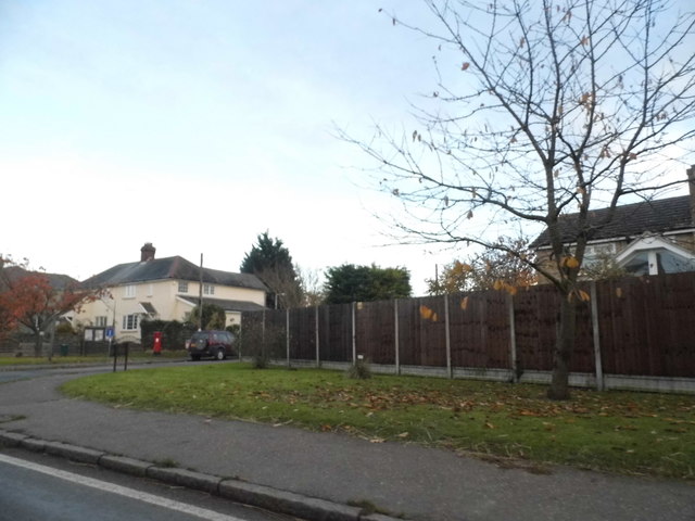
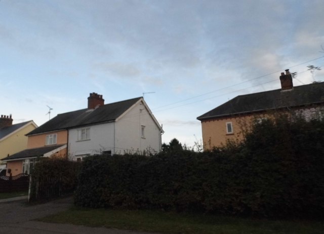
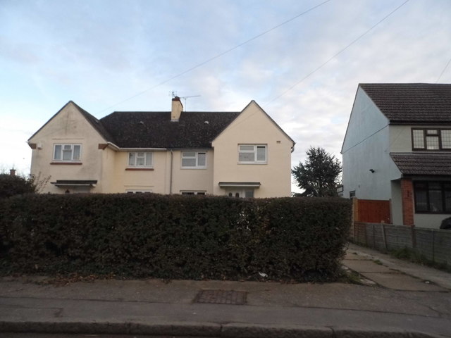
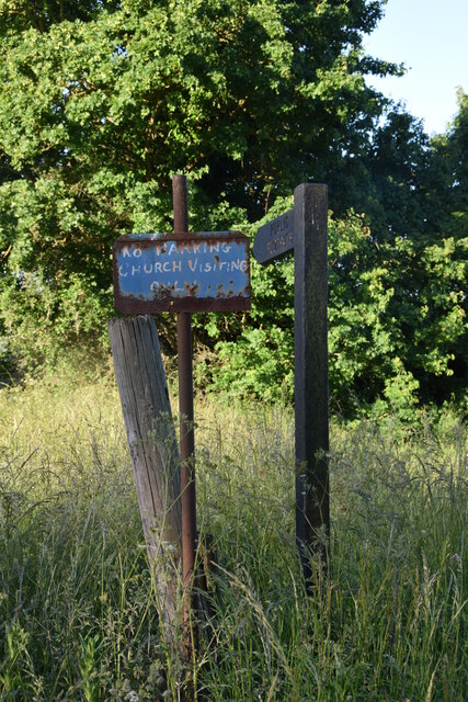
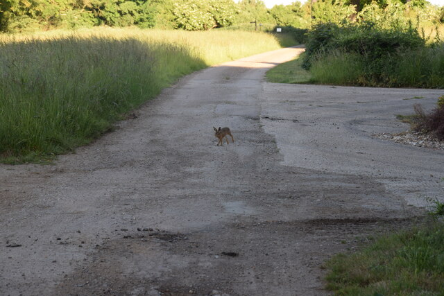
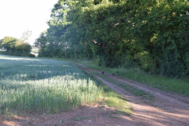
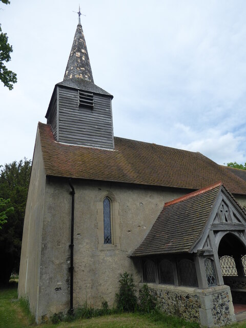
Bury Spring Images

Images are sourced within 2km of 51.818476/0.30518706 or Grid Reference TL5815. Thanks to Geograph Open Source API. All images are credited.

High Roding A view from he northern end of the village. The early morning sun highlights the little thatched cottage. High Roding is very much a linear settlement with very little development back from The Street - which follows the line of a Roman Road. Some modern development has resulted in some "back streets".
High Roding
A view from he northern end of the village. The early morning sun highlights the little thatched cottage. High Roding is very much a linear settlement with very little development back from The Street - which follows the line of a Roman Road. Some modern development has resulted in some "back streets".
The Black Lion and the view north east along The Street The Black Lion proclaims itself "a Traditional 14th Century Coaching Inn" (no doubt correctly).
The Black Lion and the view north east along The Street
The Black Lion proclaims itself "a Traditional 14th Century Coaching Inn" (no doubt correctly).
Lane to High Trees Farm ....and to the sewage works.
Lane to High Trees Farm
....and to the sewage works.
The Black Lion, High Roding The core of the structure is C15 but with many later additions. See <span class="nowrap"><a title="http://www.britishlistedbuildings.co.uk/en-352755-the-black-lion-public-house-high-roothin#.VhrMn_lViko" rel="nofollow ugc noopener" href="http://www.britishlistedbuildings.co.uk/en-352755-the-black-lion-public-house-high-roothin#.VhrMn_lViko">Link</a><img style="margin-left:2px;" alt="External link" title="External link - shift click to open in new window" src="https://s1.geograph.org.uk/img/external.png" width="10" height="10"/></span> for entry in British Listed Buildings.
The Black Lion, High Roding
The core of the structure is C15 but with many later additions. See LinkExternal link for entry in British Listed Buildings.
Village sign, High Roding
Road junction in High Roding It's a short lane that leads to a farm
Road junction in High Roding
It's a short lane that leads to a farm
Dunmow Road, High Roding
Houses on Dunmow Road, High Roding
Post, finger post and sign Opposite High Roding parish church.
Post, finger post and sign
Opposite High Roding parish church.
Track approaching High Roding Church - with young hare Taken just south of High Rodingbury Farm.
Track approaching High Roding Church - with young hare
Taken just south of High Rodingbury Farm.
Track to New Hall A public footpath follows the route of the track between High Rodingbury Farm and New Hall. A pair of geese and two goslings are making for the reservoir on the other side of the hedge.
Track to New Hall
A public footpath follows the route of the track between High Rodingbury Farm and New Hall. A pair of geese and two goslings are making for the reservoir on the other side of the hedge.
Aythorpe Roding, St Mary
Private road to New Hall Farm Also public footpath High Roding 45.
Private road to New Hall Farm
Also public footpath High Roding 45.
Broad Bridge on Broad Bridge Road A crossing of the River Roding.
Broad Bridge on Broad Bridge Road
A crossing of the River Roding.
Broad Bridge on Broad Bridge Road A crossing of the River Roding.
Broad Bridge on Broad Bridge Road
A crossing of the River Roding.
Poplars Lane North of Walkers Farm.
Poplars Lane
North of Walkers Farm.
Poplars Lane Towards Walkers Farm.
Poplars Lane
Towards Walkers Farm.
Show me another place!

Bury Spring is located at Grid Ref: TL5815 (Lat: 51.818476, Lng: 0.30518706)

Administrative County: Essex

District: Uttlesford

Police Authority: Essex

What 3 Words

///hello.dancer.courage. Near Takeley, Essex

Related Wikis

Aythorpe Roding Windmill

Aythorpe Roding Windmill is a Grade II* listed Post mill at Aythorpe Roding, Essex, England which has been restored to working order. == History == Aythorpe...

Aythorpe Roding

Aythorpe Roding is a village and civil parish in the Uttlesford district of Essex, England. The village is included in the eight hamlets and villages called...

Bacon End

Bacon End is a hamlet in the civil parish of Great Canfield, and near Great Canfield Castle, in Essex, England. == References == == External links == mid...

High Roding

High Roding is a village and civil parish in the Uttlesford district of Essex, England. The village is included in the eight hamlets and villages called...

The Rodings

The Rodings are a group of eight villages in the upper part of the River Roding and the west of Essex, England, the largest group in the country to bear...

Great Canfield Castle

Great Canfield Castle lies in the small village of Great Canfield, 3 miles (5 km) south-west of Great Dunmow in Essex, England: grid reference TL595179...

Leaden Roding

Leaden Roding is a village and civil parish in the Uttlesford district of Essex, England. The village is included in the eight hamlets and villages called...

Baconend Green

Baconend Green is a hamlet in the Uttlesford district of Essex, England. It is within the parish of Great Canfield.

Nearby Amenities

Located within 500m of 51.818476,0.30518706
The data included in this document is from www.openstreetmap.org. The data is made available under ODbL.

Have you been to Bury Spring?

Leave your review of Bury Spring below (or comments, questions and feedback).