Newbarns Loch

Lake, Pool, Pond, Freshwater Marsh in Kirkcudbrightshire

Scotland

Newbarns Loch

Reed bed Not the most popular part of this wonderful bay, by virtue of the sticky, muddy substrate which is sufficiently rarely covered by the tide to support a significant bed of reeds which are just coming into flower.
Reed bed Credit: Jonathan Wilkins

Newbarns Loch is a picturesque freshwater loch located in Kirkcudbrightshire, Scotland. Nestled amidst the rolling countryside, the loch covers an area of approximately 4 hectares and is a haven for wildlife and nature enthusiasts.

The loch is surrounded by lush vegetation, including reeds, rushes, and water lilies, creating a vibrant and diverse ecosystem. This rich plant life provides a perfect habitat for a variety of bird species, such as mallards, tufted ducks, and coots, which can be spotted gracefully gliding across the calm waters. Additionally, the loch is home to several species of fish, including perch and pike, which attract anglers looking to test their skills.

Newbarns Loch also features a small freshwater marsh, which provides a breeding ground for amphibians like frogs and newts. The marshland is teeming with life, with dragonflies and damselflies flitting about, adding to the loch's natural charm.

Surrounded by scenic countryside, the loch offers a tranquil and peaceful setting for visitors. Nature walks and birdwatching are popular activities, allowing visitors to immerse themselves in the beauty of the surroundings. The loch is easily accessible, with a car park nearby and well-maintained paths that wind around its shores.

Overall, Newbarns Loch is a hidden gem in Kirkcudbrightshire, offering a perfect blend of natural beauty and wildlife. Whether it's fishing, birdwatching, or simply enjoying the peaceful atmosphere, the loch provides an idyllic escape for nature lovers.

If you have any feedback on the listing, please let us know in the comments section below.

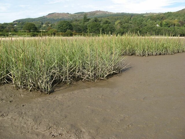
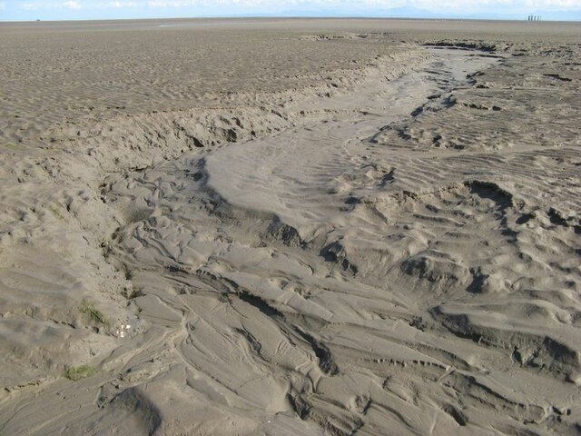
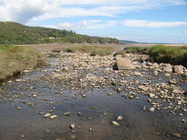
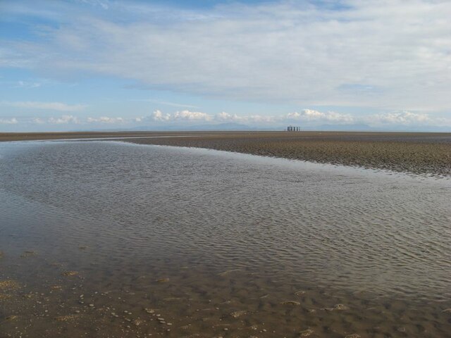
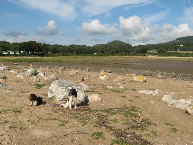
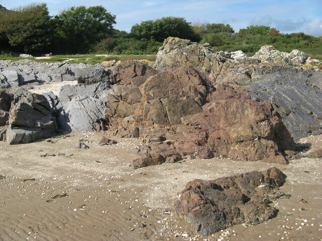
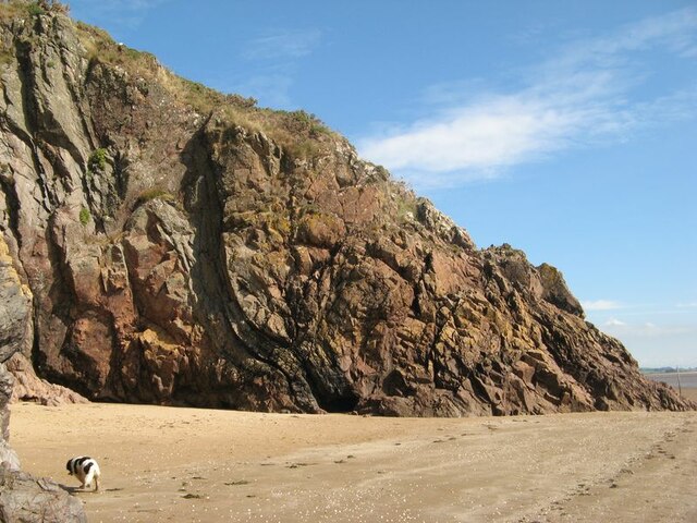
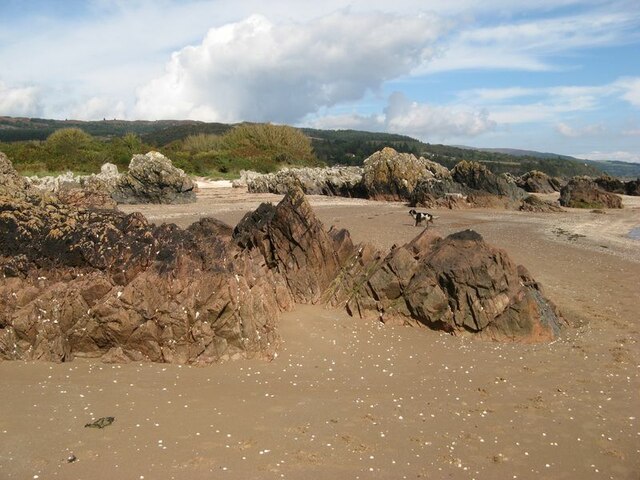
Newbarns Loch Images

Images are sourced within 2km of 54.877076/-3.7465344 or Grid Reference NX8854. Thanks to Geograph Open Source API. All images are credited.

Reed bed Not the most popular part of this wonderful bay, by virtue of the sticky, muddy substrate which is sufficiently rarely covered by the tide to support a significant bed of reeds which are just coming into flower.
Reed bed
Not the most popular part of this wonderful bay, by virtue of the sticky, muddy substrate which is sufficiently rarely covered by the tide to support a significant bed of reeds which are just coming into flower.
Dry channel Water drains off the sands rapidly as the tide falls, causing deep channels to form. The channel, now dried-out completely, shows a wonderful collection of intricate bedforms indicative of flowing water and sediment transport. A sedimentologist's dream?
Dry channel
Water drains off the sands rapidly as the tide falls, causing deep channels to form. The channel, now dried-out completely, shows a wonderful collection of intricate bedforms indicative of flowing water and sediment transport. A sedimentologist's dream?
Barnhourie Burn outlet The wide, shallow outlet of the burn at low tide.
Barnhourie Burn outlet
The wide, shallow outlet of the burn at low tide.
Outflow channel Water flowing out from the Barnhourie burn on the vast inter-tidal plain. The topography is much more complex than the map suggests!
Outflow channel
Water flowing out from the Barnhourie burn on the vast inter-tidal plain. The topography is much more complex than the map suggests!
Erratic boulder shore The strip above the normal tide level is strewn with very pleasing, rounded glacial erratic boulders. Their concentration at the two extremities of the shore at Sandyhills Bay is surprising.
Erratic boulder shore
The strip above the normal tide level is strewn with very pleasing, rounded glacial erratic boulders. Their concentration at the two extremities of the shore at Sandyhills Bay is surprising.
Red granite vein Grey rocks which are sedimentary in origin are intruded here by a wide vein of reddened granite. The contrast is very pleasing.
Red granite vein
Grey rocks which are sedimentary in origin are intruded here by a wide vein of reddened granite. The contrast is very pleasing.
Piper's Cove A fabulous cove, in which one wall shows how red granite intrusion has followed the structure of the folded rocks which it has forced its way into.
Piper's Cove
A fabulous cove, in which one wall shows how red granite intrusion has followed the structure of the folded rocks which it has forced its way into.
Sea-washed rocks Rock outcrop on the upper shore comprising red-coloured granite amid grey coloured sedimentary strata. Salt-making was apparently practised on the shore until the 18th century.
Sea-washed rocks
Rock outcrop on the upper shore comprising red-coloured granite amid grey coloured sedimentary strata. Salt-making was apparently practised on the shore until the 18th century.
Tilted strata Strata belonging to the Ross Formation (Silurian, Wenlock) are standing almost vertical on the cliffs here.
Tilted strata
Strata belonging to the Ross Formation (Silurian, Wenlock) are standing almost vertical on the cliffs here.
Sea stacks at Brandy Cove Fabulous sea-stacks and rugged coast which is well on the way to producing more!
Sea stacks at Brandy Cove
Fabulous sea-stacks and rugged coast which is well on the way to producing more!
Needle's Eye A fabulous natural arch formed by failure of the rocks and erosion at sea level. What is particularly satisfying is that the fault responsible for the failure is clearly visible, running slightly obliquely up the cliff above the crown of the arch.
Needle's Eye
A fabulous natural arch formed by failure of the rocks and erosion at sea level. What is particularly satisfying is that the fault responsible for the failure is clearly visible, running slightly obliquely up the cliff above the crown of the arch.
Fault failure Erosion of the cliff is proceeding where the presence of a fault plane has created weakness in the rocks. A nice cave is developing at the tide mark.
Fault failure
Erosion of the cliff is proceeding where the presence of a fault plane has created weakness in the rocks. A nice cave is developing at the tide mark.
Ripples and mirage Quite by accident I succeeded in capturing a classic mirage by kneeling for this shot of the rippled sand running out from the coast, apparently without end. The distant promontory of Southerness appears to float above the horizon. My assistant Tegid is the other feature on the horizon, stretching his legs at a gallop.
Ripples and mirage
Quite by accident I succeeded in capturing a classic mirage by kneeling for this shot of the rippled sand running out from the coast, apparently without end. The distant promontory of Southerness appears to float above the horizon. My assistant Tegid is the other feature on the horizon, stretching his legs at a gallop.
Carboniferous strata Rocks on the shore to the south of Portling are much younger than those forming the adjacent cliffs which run along the coast. It is immediately obvious that they are not steeply inclined, and in fact they are unconformable with the immediately adjacent Silurian strata (see <a href="https://www.geograph.org.uk/photo/6970240">NX8954 : Tilted strata</a> for a good contrasting example) and post-date the continental collision responsible for the deformation of the older rocks. Sadly, it is not possible to see the older and younger rocks anywhere in contact, and generally here a steeply-inclined fault separates them. See also <a href="https://www.geograph.org.uk/photo/6970311">NX8853 : Carboniferous strata 2</a> for another view of the Carboniferous rocks.
Carboniferous strata
Rocks on the shore to the south of Portling are much younger than those forming the adjacent cliffs which run along the coast. It is immediately obvious that they are not steeply inclined, and in fact they are unconformable with the immediately adjacent Silurian strata (see NX8954 : Tilted strata for a good contrasting example) and post-date the continental collision responsible for the deformation of the older rocks. Sadly, it is not possible to see the older and younger rocks anywhere in contact, and generally here a steeply-inclined fault separates them. See also NX8853 : Carboniferous strata 2 for another view of the Carboniferous rocks.
Carboniferous strata 2 The rocks here, of Carboniferous (Arundian to Holkerian) age are the Rascarrel Member of the Fell Sandstone Formation. The beds are of sandstone and conglomerate, which include angular clasts of granite and other igneous material eroded from the exposed granite pluton nearby, indicating rapid uplift on the faults which run along its margin to form a faulted unconformity on the norther margin of the Upper Palaeozoic Solway Basin. See also <a href="https://www.geograph.org.uk/photo/6970289">NX8853 : Carboniferous strata</a>.
Carboniferous strata 2
The rocks here, of Carboniferous (Arundian to Holkerian) age are the Rascarrel Member of the Fell Sandstone Formation. The beds are of sandstone and conglomerate, which include angular clasts of granite and other igneous material eroded from the exposed granite pluton nearby, indicating rapid uplift on the faults which run along its margin to form a faulted unconformity on the norther margin of the Upper Palaeozoic Solway Basin. See also NX8853 : Carboniferous strata.
Portling shore Looking from the intertidal sands to the houses on the Portling Shore. I was impressed by the sky that had developed.
Portling shore
Looking from the intertidal sands to the houses on the Portling Shore. I was impressed by the sky that had developed.
Lichens on sandstone Still in the splash zone, these rocks bear a fantastic community of lichens including Caloplaca, Ramalina and Ochrolechia. What a fabulous garden!
Lichens on sandstone
Still in the splash zone, these rocks bear a fantastic community of lichens including Caloplaca, Ramalina and Ochrolechia. What a fabulous garden!
Sandyhills east end The eastern end of the shore at Sandyhills is showing distinct signs of erosive action, with granite boulders and tree roots in the sand - but still a fabulous place to be on the hottest September day in Scotland since 1906. Eventually we were forced to find shade!
Sandyhills east end
The eastern end of the shore at Sandyhills is showing distinct signs of erosive action, with granite boulders and tree roots in the sand - but still a fabulous place to be on the hottest September day in Scotland since 1906. Eventually we were forced to find shade!
Show me another place!

Newbarns Loch is located at Grid Ref: NX8854 (Lat: 54.877076, Lng: -3.7465344)

Unitary Authority: Dumfries and Galloway

Police Authority: Dumfries and Galloway

What 3 Words

///battle.novelist.inflamed. Near Dalbeattie, Dumfries & Galloway

Related Wikis

Colvend and Southwick

Colvend and Southwick is a community council area and civil parish within the Stewartry area of Dumfries and Galloway, Scotland. It is also part of the...

Rough Island, Scotland

"Rough Island" is also used as a translation of "Garbh Eilean", a common Scottish name for islandsRough Island is a 20-acre (8 ha) uninhabited tidal island...

Rockcliffe, Dumfries and Galloway

Rockcliffe is a small, coastal village in Kirkcudbrightshire, Dumfries and Galloway in Scotland, with a view of Rough Island, Hestan Island, the Solway...

Kippford

Kippford (/ˈkɪpfəd/; otherwise Scaur) is a small village along the Solway coast, in the historic county of Kirkcudbrightshire in Dumfries and Galloway...

Rough Firth

Rough Firth is an inlet on the northern coast of the Solway Firth in the Stewartry area of Dumfries and Galloway, Scotland. The firth lies between Almorness...

Palnackie

Palnackie is a village in the parish of Buittle in the historical county of Kirkcudbrightshire in Dumfries and Galloway, Scotland. It has a population...

Hestan Island

Hestan Island is a small coastal island at the southern foot of the River Urr estuary in the Solway Firth, in the historical county of Kirkcudbrightshire...

Orchardton Castle

Orchardton Castle overlooks the Solway Coast. Built in the 1880s, this is a Grade B listed property formerly known as Orchardton House. Built around a...

Nearby Amenities

Located within 500m of 54.877076,-3.7465344
Bus Stop
Portling
Naptan AtcoCode: 680000788111
Naptan Bearing: SW
Naptan CommonName: Portling
Naptan Indicator: Road End
Naptan Landmark: Portling
Naptan NaptanCode: 34238675
Naptan Notes: none
Naptan Street: A710
Naptan Verified: no
Source: naptan_import
Lat/Long: 54.8748708/-3.7456468
Bus Stop
Portling
Naptan AtcoCode: 680000788222
Naptan Bearing: NE
Naptan BusStopType: CUS
Naptan CommonName: Portling
Naptan Indicator: opp Road End
Naptan Landmark: Portling
Naptan NaptanCode: 34238292
Naptan Notes: none
Naptan Street: A710
Naptan Verified: no
Source: naptan_import
Lat/Long: 54.8749579/-3.7458377
Power: pole
Lat/Long: 54.8804225/-3.7502173
Power: pole
Lat/Long: 54.8795059/-3.748465
Power: pole
Lat/Long: 54.878759/-3.7470076
Power: pole
Lat/Long: 54.8779095/-3.7450113
Power: pole
Lat/Long: 54.8771235/-3.7431847
Power: pole
Lat/Long: 54.8763692/-3.7414069
Power: pole
Lat/Long: 54.8759829/-3.7405
Power: pole
Lat/Long: 54.875491/-3.7415629
Power: pole
Lat/Long: 54.8751614/-3.7422778
Power: pole
Lat/Long: 54.8748038/-3.7430649
Power: pole
Lat/Long: 54.8743851/-3.743975
Power: pole
Lat/Long: 54.8738859/-3.7450951
Power: pole
Lat/Long: 54.8735502/-3.7458439
Power: pole
Lat/Long: 54.8729509/-3.7472017
Power: pole
Lat/Long: 54.8729881/-3.7493709
Power: pole
Lat/Long: 54.8733238/-3.7496827
Power: pole
Lat/Long: 54.8740305/-3.7502619
Power: pole
Lat/Long: 54.8746433/-3.7507583
Power: pole
Lat/Long: 54.8751987/-3.7512335
Power: pole
Lat/Long: 54.875267/-3.7523303
Power: pole
Lat/Long: 54.8753464/-3.7534186
The data included in this document is from www.openstreetmap.org. The data is made available under ODbL.

Have you been to Newbarns Loch?

Leave your review of Newbarns Loch below (or comments, questions and feedback).