Gorefield

Settlement in Cambridgeshire Fenland

England

Gorefield

Highside Drain, Newton Fen
Highside Drain, Newton Fen Credit: Hugh Venables

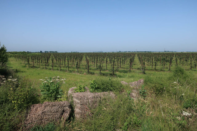
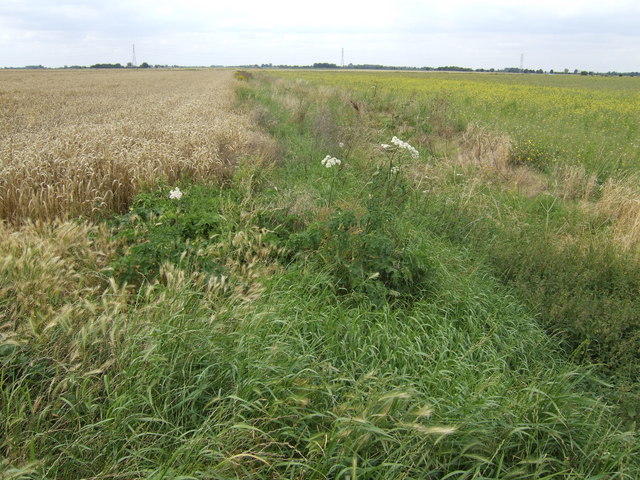
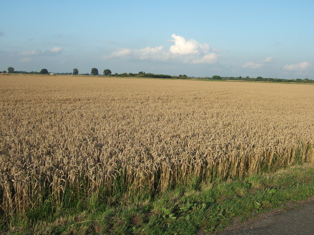
Gorefield is a small village located in the Fenland District of Cambridgeshire, England. Situated approximately six miles east of Wisbech, it covers an area of around 11 square kilometers and has a population of about 2,000 residents. The village is nestled within the flat and fertile landscape of the Cambridgeshire Fens, known for its extensive agricultural activities.

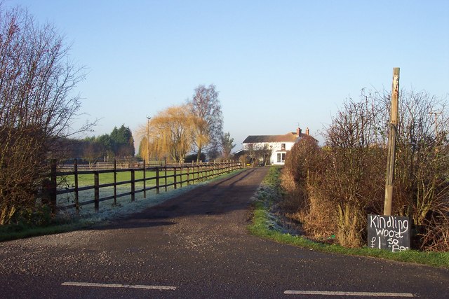
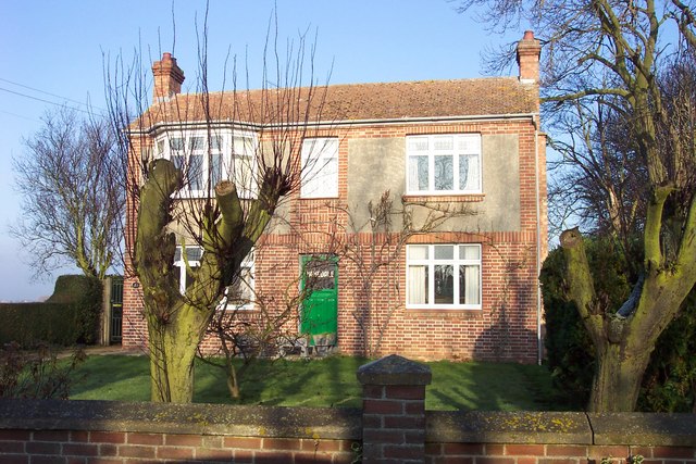
The village of Gorefield is primarily residential, with a mix of housing styles ranging from traditional cottages to more modern developments. It is characterized by its peaceful and rural atmosphere, offering a serene environment for its inhabitants. The nearby River Nene adds to the village's charm, providing opportunities for leisurely walks and fishing.

Despite its small size, Gorefield boasts a range of amenities to cater to its residents' needs. These include a primary school, a village hall, a community center, and a local shop for everyday essentials. The village also has a pub, The Bell Inn, which serves as a popular meeting place for locals and visitors alike.

Gorefield's location offers easy access to nearby towns and cities, with good transport links to Wisbech and Peterborough. This enables residents to enjoy the benefits of rural living while still having access to a wider range of services and employment opportunities.

Overall, Gorefield presents itself as a picturesque and close-knit village with a strong sense of community, making it an attractive place for those seeking a peaceful and rural lifestyle.

If you have any feedback on the listing, please let us know in the comments section below.
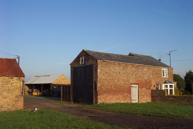
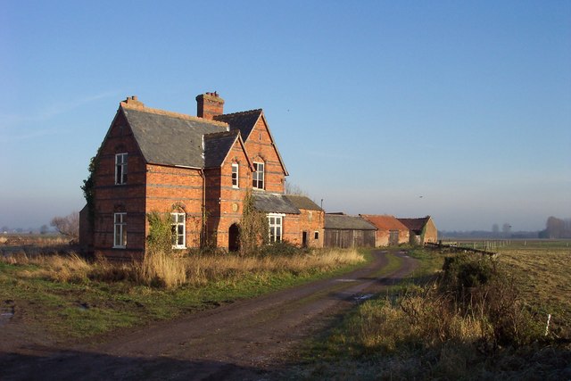
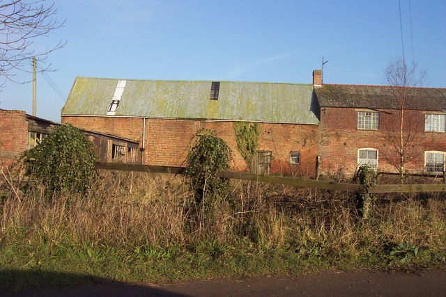
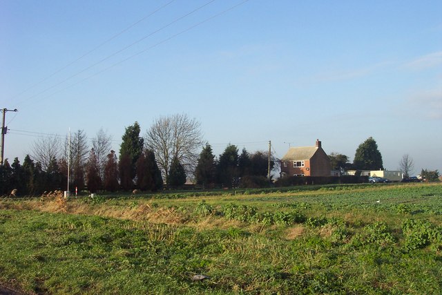
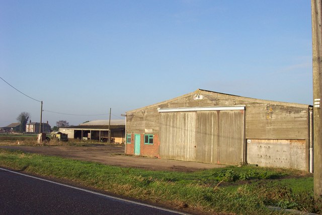
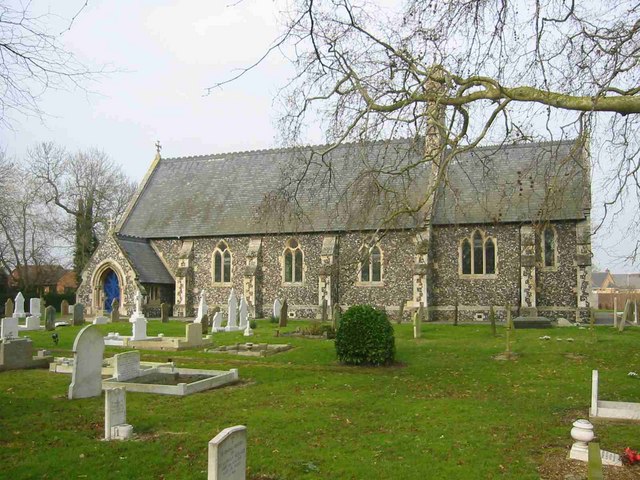
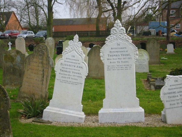
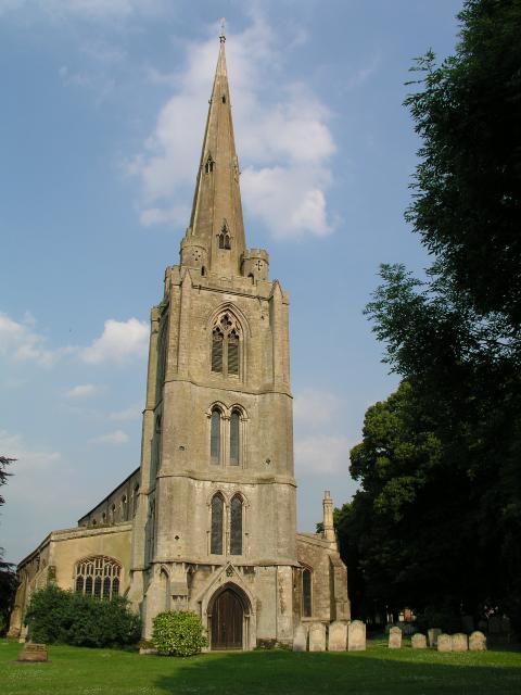
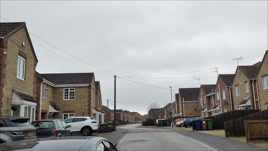
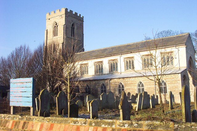
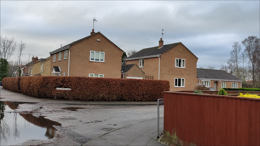
Gorefield Images

Images are sourced within 2km of 52.68577/0.095658 or Grid Reference TF4111. Thanks to Geograph Open Source API. All images are credited.

Highside Drain, Newton Fen
Orchard on Newton Fen Field was previously arable, <a href="https://www.geograph.org.uk/photo/513708">TF3912 : View north from Goredike Bank</a>
Orchard on Newton Fen
Field was previously arable, TF3912 : View north from Goredike Bank
View north from Goredike Bank Unseen in the distance is North Level Main Drain.
View north from Goredike Bank
Unseen in the distance is North Level Main Drain.
Grange Farm wood for sale
Carlton Farm on Cattle Drove
Willow tree in winter By Fair View on Cattle Dike.
Willow tree in winter
By Fair View on Cattle Dike.
South-facing house
South-facing house
Cherrytree Farm
Cherrytree Farm
Fitton Hall Sadly appears to be in an advanced state of decay.
Fitton Hall
Sadly appears to be in an advanced state of decay.
Fitton Croft Farm
Fitton Croft Farm
View to Rose Cottage From Goredike Bank.
View to Rose Cottage
From Goredike Bank.
Goredike Bank straight on
Gorefield St Paul Built in 1870 and still well looked after by the local community
Gorefield St Paul
Built in 1870 and still well looked after by the local community
Thomas and Elizabeth Young I liked the way they are leaning towards each other
Thomas and Elizabeth Young
I liked the way they are leaning towards each other
Fields near Fen Lane, Gorefield. A typical view of fields in the reclaimed land south of The Wash.
Fields near Fen Lane, Gorefield.
A typical view of fields in the reclaimed land south of The Wash.
Sluice Gate
Sluice Gate
Wheat field, Bona Lane, Leverington Common Looking N E towards Leverington
Wheat field, Bona Lane, Leverington Common
Looking N E towards Leverington
Show me another place!

Gorefield is located at Grid Ref: TF4111 (Lat: 52.68577, Lng: 0.095658)

Division: Isle of Ely

Administrative County: Cambridgeshire

District: Fenland

Police Authority: Cambridgeshire

What 3 Words

///avocado.sliders.shifters. Near Wisbech, Cambridgeshire

Nearby Locations

Gorefield Richmond Field

Related Wikis

Gorefield

Gorefield is a village and civil parish in the Fenland district of Cambridgeshire, England. At the time of the 2001 census, the parish's population was...

Leverington

Leverington is a village and civil parish in the Fenland District of Cambridgeshire, England. The settlement is to the north of Wisbech. At the time of...

Leverington Hall

Leverington Hall is a 17th-century country house in the parish of Leverington, Cambridgeshire, England. The house is Grade I listed and is privately owned...

Newton-in-the-Isle

Newton-in-the-Isle is a village and civil parish in the Fenland District of the Isle of Ely, Cambridgeshire, England, The village is 4 miles (6 km) to...

Wisbech St Mary F.C.

Wisbech St Mary Football Club is a football club based in Wisbech St Mary, Cambridgeshire in England. The club are currently members of the Cambridgeshire...

Wisbech St Mary railway station

Wisbech St Mary railway station was a station on the Midland and Great Northern Joint Railway line between Wisbech and Peterborough. Located in Wisbech...

St John the Baptist's Church, Parson Drove

St John the Baptist's Church is a redundant Anglican church in the village of Parson Drove, Cambridgeshire, England. It is recorded in the National Heritage...

Wisbech North railway station

Wisbech North railway station was a station serving the town of Wisbech, Cambridgeshire. It was part of the Midland and Great Northern Joint Railway and...

Nearby Amenities

Located within 500m of 52.68577,0.095658
Gorefield
Is In County: Lincolnshire
Is In District: South Holland
Place: village
Wikidata: Q2586385
Lat/Long: 52.6858221/0.0997849
Bus Stop
Primary School
Naptan AtcoCode: 0500FGORE003
Naptan Bearing: W
Naptan BusStopType: CUS
Naptan CommonName: Primary School
Naptan Indicator: near
Naptan Landmark: Gorefield County Primary School
Naptan NaptanCode: cmbdjtjm
Naptan ShortCommonName: Primary School
Naptan Street: High Road
Naptan Verified: no
Public Transport: platform
Source: naptan_import
Lat/Long: 52.6864391/0.0978184
Bus Stop
Primary School
Naptan AtcoCode: 0500FGORE006
Naptan Bearing: E
Naptan BusStopType: CUS
Naptan CommonName: Primary School
Naptan Indicator: opp
Naptan Landmark: Gorefield County Primary School
Naptan NaptanCode: cmbdjtjw
Naptan ShortCommonName: Primary School
Naptan Street: High Road
Naptan Verified: no
Public Transport: platform
Source: naptan_import
Lat/Long: 52.6865007/0.0978953
Post Office
Gorefield Post office and Stores
Brand: Post Office
Brand Wikidata: Q1783168
Website: https://www.postoffice.co.uk/branch-finder/3242307/gorefield
Lat/Long: 52.6876536/0.0922902
Bench
Lat/Long: 52.6859195/0.0941681
Telephone
Defibrillator
Booth: KX100
Covered: booth
Defibrillator Location: inside old phone box near Gorefield Primary School
Emergency: defibrillator
Man Made: telephone_box
Lat/Long: 52.686669/0.0964971
Place Of Worship
Go Evangelista Christian Centre
Denomination: evangelical
Religion: christian
Lat/Long: 52.6864749/0.0970465
Pub
The Woodman's Cottage Of Gorefield
Lat/Long: 52.6866544/0.0975202
Recycling
Lat/Long: 52.6863939/0.0978102
Post Box
Post Box Type: lamp
Lat/Long: 52.6860659/0.102275
N V Gaydon
Shop: convenience
Lat/Long: 52.685772/0.1020984
Power: pole
Lat/Long: 52.6884502/0.0929933
Power: pole
Lat/Long: 52.6890212/0.0915008
Power: pole
Lat/Long: 52.6840785/0.1007021
Power: pole
Lat/Long: 52.6840273/0.1018876
Defibrillator
Defibrillator Location: outside Gorefield Community Hall and Sports Pavilion
Emergency: defibrillator
Indoor: no
Lat/Long: 52.6846643/0.1011385
The data included in this document is from www.openstreetmap.org. The data is made available under ODbL.

Have you been to Gorefield?

Leave your review of Gorefield below (or comments, questions and feedback).