Gorebridge

Settlement in Midlothian

Scotland

Gorebridge

B6372 towards Gorebridge
B6372 towards Gorebridge Credit: Steven Brown

The requested URL returned error: 429 Too Many Requests

If you have any feedback on the listing, please let us know in the comments section below.
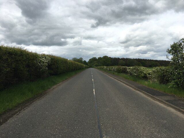
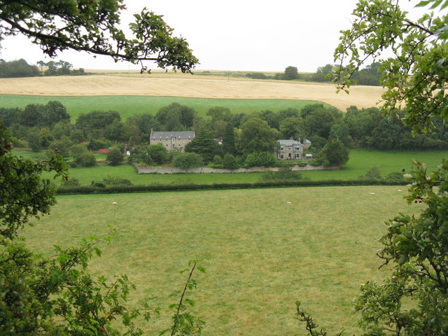
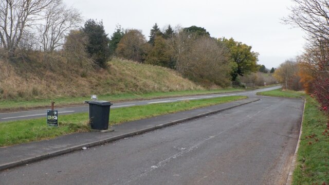
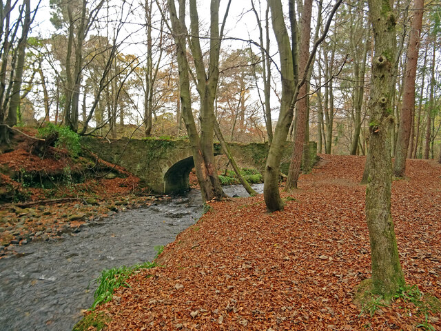
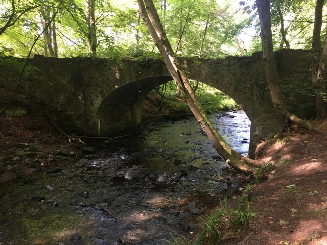
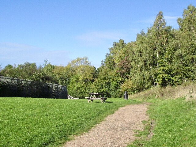
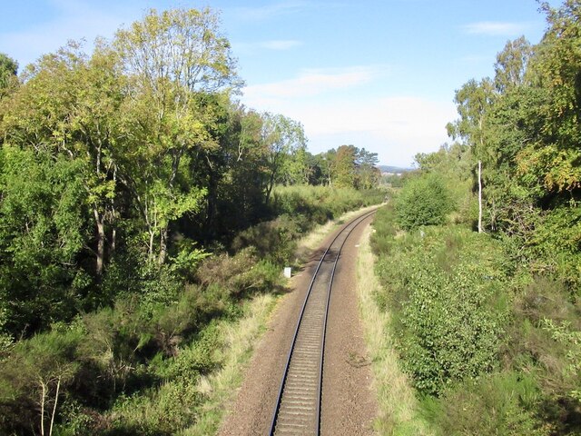
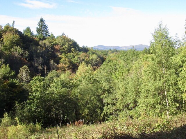
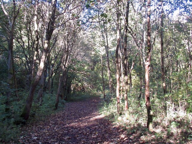
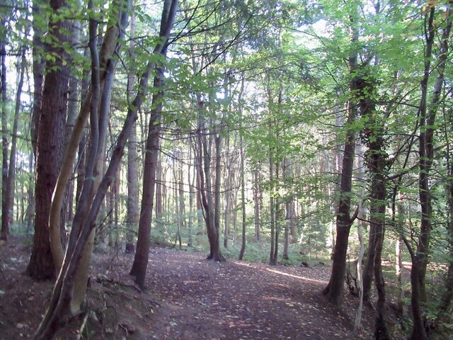
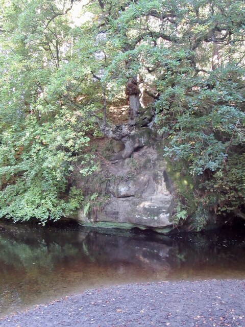
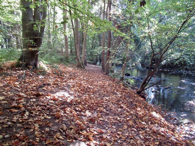
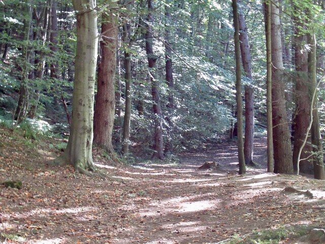
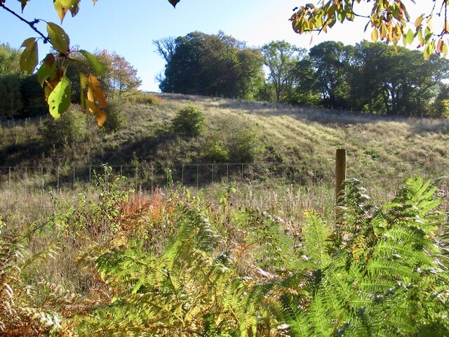
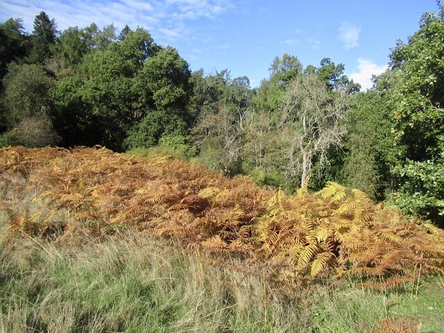
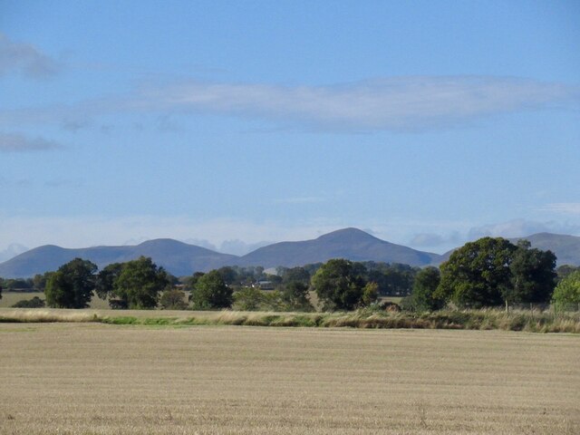
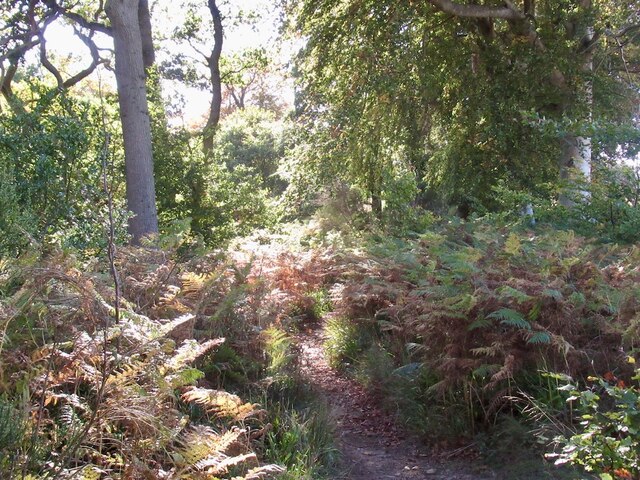
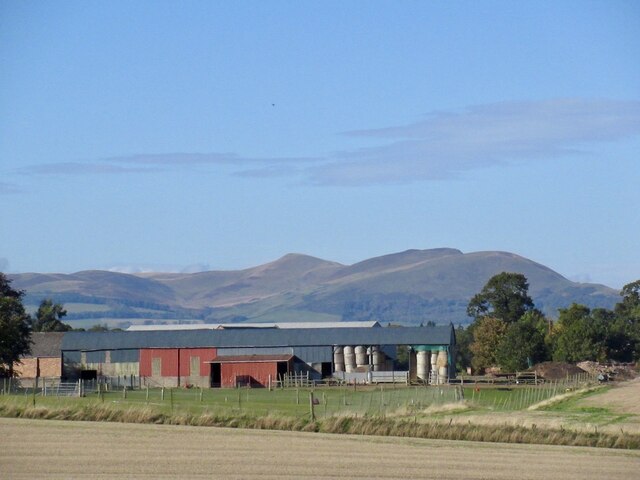
Gorebridge Images

Images are sourced within 2km of 55.844208/-3.049444 or Grid Reference NT3461. Thanks to Geograph Open Source API. All images are credited.

B6372 towards Gorebridge
Fields at Haughhead Looking across to Catcune House.
Fields at Haughhead
Looking across to Catcune House.
Layby and A7, Gorebridge/Middleton
Trotters Bridge Rustic little stone bridge over the Gore Water on the Arniston Estate near Gorebridge with mainly beech woodland surrounding it.

Several contributors seem to suggest that Trotters Bridge is over the River South Esk on the minor road to Carrington:-
<a title="https://www.geograph.org.uk/photo/1345203" href="https://www.geograph.org.uk/photo/1345203">Link</a>
<a title="https://www.geograph.org.uk/photo/6041984" href="https://www.geograph.org.uk/photo/6041984">Link</a>
Whereas the buildings at risk register - with map - suggest that it is the rustic bridge over the Gore Water at the furthest extent of the Arniston Estate:-
<span class="nowrap"><a title="https://www.buildingsatrisk.org.uk/details/924642" rel="nofollow ugc noopener" href="https://www.buildingsatrisk.org.uk/details/924642">Link</a><img style="margin-left:2px;" alt="External link" title="External link - shift click to open in new window" src="https://s1.geograph.org.uk/img/external.png" width="10" height="10"/></span>
Trotters Bridge
Rustic little stone bridge over the Gore Water on the Arniston Estate near Gorebridge with mainly beech woodland surrounding it. Several contributors seem to suggest that Trotters Bridge is over the River South Esk on the minor road to Carrington:- Link Link Whereas the buildings at risk register - with map - suggest that it is the rustic bridge over the Gore Water at the furthest extent of the Arniston Estate:- LinkExternal link
Bridge over River South Esk near Gorebridge
Picnic table, Gore Glen A car park off the A7. The path crosses the railway before plunging towards Trotter's Bridge. The woods on the right are on a bing.
Picnic table, Gore Glen
A car park off the A7. The path crosses the railway before plunging towards Trotter's Bridge. The woods on the right are on a bing.
Borders Railway, Gorebridge Traversing a steep slope above Gore Glen.
Borders Railway, Gorebridge
Traversing a steep slope above Gore Glen.
Woodland, Gore Glen A fine view on the descent from the A7 car park.
Woodland, Gore Glen
A fine view on the descent from the A7 car park.
Path through alders, Gore Glen A wide path descending towards Trotter's Bridge.
Path through alders, Gore Glen
A wide path descending towards Trotter's Bridge.
Woodland, Gore Glen
Woodland, Gore Glen
Sandstone crag and South Esk Crag on the outside of a meander.
Sandstone crag and South Esk
Crag on the outside of a meander.
Path beside the South Esk A very enjoyable path to Temple.
Path beside the South Esk
A very enjoyable path to Temple.
Path beside the South Esk A path through the Arniston Estate to Temple.
Path beside the South Esk
A path through the Arniston Estate to Temple.
New woodland, Shank Recently planted former field on the Arniston Estate.
New woodland, Shank
Recently planted former field on the Arniston Estate.
Clearing Within a meander. The path climbs from here (upstream) to the rim of the gorge for a while.
Clearing
Within a meander. The path climbs from here (upstream) to the rim of the gorge for a while.
Stubble, Carrington View towards the Pentlands.
Stubble, Carrington
View towards the Pentlands.
Path to Temple Here at the top of a steep slope above the river. Midlothian has several notable gorges in a dissected plateau and they are rather enjoyable to explore. This one is equipped by a very good path.
Path to Temple
Here at the top of a steep slope above the river. Midlothian has several notable gorges in a dissected plateau and they are rather enjoyable to explore. This one is equipped by a very good path.
Carrington Barns
Carrington Barns
Show me another place!

Gorebridge is located at Grid Ref: NT3461 (Lat: 55.844208, Lng: -3.049444)

Unitary Authority: Midlothian

Police Authority: The Lothians and Scottish Borders

What 3 Words

///cigar.serves.idea. Near Gorebridge, Midlothian

Nearby Locations

Gorebridge

Related Wikis

Gorebridge

Gorebridge is a former mining village in Midlothian, Scotland. Gorebridge has an annual Gala Day which always takes place on the 3rd Saturday in June....

Newbyres Castle

Newbyres Castle was a 16th-century tower house, in Gorebridge, Midlothian, Scotland, west of the main street. The tower occupied a roughly triangular position...

Gorebridge railway station

Gorebridge is a railway station on the Borders Railway, which runs between Edinburgh Waverley and Tweedbank. The station, situated 11 miles 77 chains...

Birkenside, Midlothian

Birkenside is a village, adjacent to the A7 road, at the south of Gorebridge in Midlothian, Scotland. == See also == List of places in Midlothian List...

Nearby Amenities

Located within 500m of 55.844208,-3.049444
Crossing
Crossing: uncontrolled
Crossing Ref: zebra
Lat/Long: 55.8426078/-3.0475126
Gorebridge
Is In: Midlothian, Scotland, UK
Name Sco: Gorebrig
Place: town
Population: 7160
Wikidata: Q1009833
Wikipedia: en:Gorebridge
Lat/Long: 55.843548/-3.0478409
Give Way
Direction: backward
Lat/Long: 55.8418249/-3.0439483
Traffic Calming: cushion
Lat/Long: 55.8450597/-3.0442492
Traffic Calming: cushion
Lat/Long: 55.8467563/-3.046337
Barrier: yes
Lat/Long: 55.8437833/-3.0466241
Traffic Calming: choker
Lat/Long: 55.8416682/-3.0493611
Traffic Calming: choker
Lat/Long: 55.8424151/-3.0514728
Traffic Calming: choker
Lat/Long: 55.8431924/-3.0505152
Traffic Calming: cushion
Lat/Long: 55.8480915/-3.0470648
Gorebridge
Naptan AtcoCode: 9100GOREBRG
Network: National Rail
Network Website: https://www.nationalrail.co.uk/stations/gbg/
Network Wikidata: Q26334
Operator: ScotRail
Operator Website: https://www.scotrail.co.uk/plan-your-journey/stations-and-facilities/gbg
Operator Wikidata: Q18356161
Public Transport: station
Railway: station
Ref Crs: GBG
Start Date: 2015-09-06
Train: yes
Wikidata: Q5586139
Wikipedia: en:Gorebridge railway station
Lat/Long: 55.8402696/-3.0467408
Traffic Calming: choker
Lat/Long: 55.8437994/-3.0537237
Bus Stop
Gorebridge Inn
Bus: yes
Naptan AdministrativeAreaCode: 130
Naptan Area Name: Midlothian
Naptan AtcoAreaCode: 628
Naptan AtcoCode: 6280301655
Naptan Bearing: S
Naptan CommonName: Gorebridge Inn
Naptan Indicator: opp
Naptan Landmark: -
Naptan LocalityName: Gorebridge
Naptan NaptanCode: 64323683
Naptan NptgLocalityCode: ES001632
Naptan SourceLocalityType: Lo
Naptan StopAreaCode: 628G301655
Naptan StopAreaType: GPBS
Naptan StopArea Name: Gorebridge Inn Main Street
Naptan Street: Main Street
Naptan Verified: yes
Public Transport: platform
Shelter: yes
Source: NaPTAN + Survey
Lat/Long: 55.8420972/-3.0473077
Bus Stop
Gore Avenue
Bus: yes
Naptan AdministrativeAreaCode: 130
Naptan Area Name: Midlothian
Naptan AtcoAreaCode: 628
Naptan AtcoCode: 6280301630
Naptan Bearing: E
Naptan CommonName: Gore Avenue
Naptan Indicator: at
Naptan Landmark: on roundabout
Naptan LocalityName: Gorebridge
Naptan NaptanCode: 64323682
Naptan NptgLocalityCode: ES001632
Naptan SourceLocalityType: Lo
Naptan Street: Gore Avenue
Naptan Verified: yes
Public Transport: platform
Shelter: yes
Source: NaPTAN + Survey
Lat/Long: 55.8459492/-3.0458222
Bus Stop
Newbyres Crescent
Bus: yes
Naptan AdministrativeAreaCode: 130
Naptan Area Name: Midlothian
Naptan AtcoAreaCode: 628
Naptan AtcoCode: 6280301640
Naptan Bearing: SW
Naptan CommonName: Newbyres Crescent
Naptan Indicator: W-bound
Naptan Landmark: opp Care Home
Naptan LocalityName: Gorebridge
Naptan NaptanCode: 64323698
Naptan NptgLocalityCode: ES001632
Naptan ShortCommonName: Newbyres Crescent
Naptan SourceLocalityType: Lo
Naptan StopAreaCode: 628G301620
Naptan StopAreaType: GPBS
Naptan StopArea Name: Newbyres Crescent
Naptan Street: Gore Avenue
Naptan Verified: yes
Public Transport: platform
Source: NaPTAN + Survey
Lat/Long: 55.8448148/-3.0475972
Bus Stop
Newbyres Crescent
Bus: yes
Naptan AdministrativeAreaCode: 130
Naptan Area Name: Midlothian
Naptan AtcoAreaCode: 628
Naptan AtcoCode: 6280301620
Naptan Bearing: NE
Naptan CommonName: Newbyres Crescent
Naptan Indicator: at 52
Naptan Landmark: at Care Home
Naptan LocalityName: Gorebridge
Naptan NaptanCode: 64323697
Naptan NptgLocalityCode: ES001632
Naptan ShortCommonName: Newbyres Crescent
Naptan SourceLocalityType: Lo
Naptan StopAreaCode: 628G301620
Naptan StopAreaType: GPBS
Naptan StopArea Name: Newbyres Crescent
Naptan Street: Gore Avenue
Naptan Verified: yes
Public Transport: platform
Source: NaPTAN + Survey
Lat/Long: 55.8450056/-3.0475627
Bus Stop
Leisure Centre
Bus: yes
Naptan AdministrativeAreaCode: 130
Naptan Area Name: Midlothian
Naptan AtcoAreaCode: 628
Naptan AtcoCode: 6280326340
Naptan Bearing: NW
Naptan CommonName: Leisure Centre
Naptan Indicator: opp
Naptan Landmark: opp Coronation Inn
Naptan LocalityName: Gorebridge
Naptan NaptanCode: 64323692
Naptan NptgLocalityCode: ES001632
Naptan SourceLocalityType: Lo
Naptan StopAreaCode: 628G301610
Naptan StopAreaType: GPBS
Naptan StopArea Name: Leisure Centre
Naptan Street: Hunterfield Road
Naptan Verified: yes
Public Transport: platform
Shelter: yes
Source: NaPTAN + Survey
Lat/Long: 55.8448621/-3.0503983
Bus Stop
Arniston Engine
Bin: yes
Bus: yes
Naptan AdministrativeAreaCode: 130
Naptan Area Name: Midlothian
Naptan AtcoAreaCode: 628
Naptan AtcoCode: 6280326330
Naptan Bearing: NW
Naptan CommonName: Arniston Engine
Naptan Indicator: at
Naptan Landmark: Hunterfield Tavern
Naptan LocalityName: Arniston
Naptan NaptanCode: 64323679
Naptan NptgLocalityCode: N0067191
Naptan SourceLocalityType: Add
Naptan StopAreaCode: 628G326330
Naptan StopAreaType: GPBS
Naptan StopArea Name: Arniston Engine
Naptan Street: Hunterfield Road
Naptan Verified: yes
Passenger Information Display: yes
Public Transport: platform
Shelter: yes
Source: NaPTAN + Survey
Lat/Long: 55.8476774/-3.0538517
Bus Stop
Gorebridge Inn
Bin: yes
Bus: yes
Naptan AdministrativeAreaCode: 130
Naptan Area Name: Midlothian
Naptan AtcoAreaCode: 628
Naptan AtcoCode: 6280326310
Naptan Bearing: N
Naptan CommonName: Gorebridge Inn
Naptan Indicator: at
Naptan Landmark: -
Naptan LocalityName: Gorebridge
Naptan NaptanCode: 64323684
Naptan NptgLocalityCode: ES001632
Naptan SourceLocalityType: Lo
Naptan StopAreaCode: 628G301655
Naptan StopAreaType: GPBS
Naptan StopArea Name: Gorebridge Inn Main Street
Naptan Street: Main Street
Naptan Verified: yes
Passenger Information Display: yes
Public Transport: platform
Shelter: yes
Source: NaPTAN + Survey
Lat/Long: 55.8420213/-3.0475008
Atm
Lat/Long: 55.8476864/-3.0535874
Pharmacy
Lloyds Pharmacy
Lat/Long: 55.8470291/-3.0531817
Scotmid
Addr Housenumber: 114-118
Addr Postcode: EH23 4TX
Addr Street: Hunterfield Road
Brand: Scotmid
Brand Wikidata: Q7435719
Brand Wikipedia: en:Scotmid
Fhrs Id: 158870
Opening Hours: Mo-Su 07:00-22:00
Shop: supermarket
Source Addr: FHRS Open Data
Website: https://scotmid.coop/store/hunterfield/
Lat/Long: 55.8478283/-3.0535435
Bus Stop
Police Station
Bus: yes
Naptan AdministrativeAreaCode: 130
Naptan Area Name: Midlothian
Naptan AtcoAreaCode: 628
Naptan AtcoCode: 6280301650
Naptan Bearing: SE
Naptan CommonName: Police Station
Naptan Indicator: opp
Naptan Landmark: -
Naptan LocalityName: Gorebridge
Naptan NaptanCode: 64323725
Naptan NptgLocalityCode: ES001632
Naptan SourceLocalityType: Lo
Naptan StopAreaCode: 628G326315
Naptan StopAreaType: GPBS
Naptan StopArea Name: Police Station
Naptan Street: Hunterfield Road
Naptan Verified: yes
Note: NaPTAN Bus Stop location not correct
Public Transport: platform
Source: NaPTAN + Survey
Lat/Long: 55.8438284/-3.0489532
Bus Stop
Police Station
Bus: yes
Naptan AdministrativeAreaCode: 130
Naptan Area Name: Midlothian
Naptan AtcoAreaCode: 628
Naptan AtcoCode: 6280326315
Naptan Bearing: NW
Naptan CommonName: Police Station
Naptan Indicator: at
Naptan Landmark: Rivendell Cottage
Naptan LocalityName: Gorebridge
Naptan NaptanCode: 64325846
Naptan NptgLocalityCode: ES001632
Naptan ShortCommonName: Police Station
Naptan SourceLocalityType: Lo
Naptan StopAreaCode: 628G326315
Naptan StopAreaType: GPBS
Naptan StopArea Name: Police Station
Naptan Street: Hunterfield Road
Naptan Verified: yes
Note: NaPTAN Bus Stop location not correct
Public Transport: platform
Source: NaPTAN + Survey
Lat/Long: 55.8436236/-3.0488888
Bus Stop
Leisure Centre
Bus: yes
Naptan AdministrativeAreaCode: 130
Naptan Area Name: Midlothian
Naptan AtcoAreaCode: 628
Naptan AtcoCode: 6280301610
Naptan Bearing: SE
Naptan CommonName: Leisure Centre
Naptan Indicator: at
Naptan Landmark: -
Naptan LocalityName: Gorebridge
Naptan NaptanCode: 64323693
Naptan NptgLocalityCode: ES001632
Naptan SourceLocalityType: Lo
Naptan StopAreaCode: 628G301610
Naptan StopAreaType: GPBS
Naptan StopArea Name: Leisure Centre
Naptan Street: Hunterfield Road
Naptan Verified: yes
Public Transport: platform
Shelter: yes
Source: NaPTAN + Survey
Lat/Long: 55.845346/-3.0508207
Fast Food
Kwei Lin
Addr Housenumber: 114-118
Addr Postcode: EH23 4TX
Addr Street: Hunterfield Road
Cuisine: chinese
Fhrs Id: 159041
Phone: +44 131 1875 823298
Source Addr: FHRS Open Data
Lat/Long: 55.8475943/-3.05342
Fast Food
Gorefry
Addr Housenumber: 3
Addr Postcode: EH23 4BX
Addr Street: Main Street
Cuisine: italian;fish_and_chips
Fhrs Id: 813470
Opening Hours: Mo-Su 16:00-23:00
Phone: +44 1875823815
Source Addr Postcode: FHRS Open Data
Lat/Long: 55.842066/-3.0472155
Private Road Garage
Shop: car_repair
Lat/Long: 55.8407646/-3.0473921
Scotbet
Shop: bookmaker
Lat/Long: 55.8475034/-3.0533041
Post Office
Gorebridge Post Office
Addr Postcode: EH23 4BX
Brand: Post Office
Brand Wikidata: Q1783168
Ref Pol Id: 2830
Lat/Long: 55.8415135/-3.0474914
Bicycle Parking
Bicycle Parking: stands
Capacity: 6
Covered: no
Lat/Long: 55.8415751/-3.0475731
Post Box
Collection Times: Mo-Fr 17:30; Sa 12:00
Operator: Royal Mail
Post Box Type: pillar
Ref: EH23 43
Royal Cypher: GVIR
Royal Cypher Wikidata: Q33102169
Lat/Long: 55.8417665/-3.0474373
Pub
Wilmo's
Addr Street: Main Street
Lat/Long: 55.8421173/-3.047538
Post Box
Collection Times: Mo-Fr 16:30; Sa 11:45
Operator: Royal Mail
Ref: EH23 61
Lat/Long: 55.8477733/-3.0536449
B&N Mini Market
Addr Housenumber: 60-64
Addr Postcode: EH23 4TT
Addr Street: Hunterfield Road
Fhrs Id: 159046
Shop: convenience
Source Addr: FHRS Open Data
Lat/Long: 55.8446946/-3.0497949
Restaurant
Coronation
Addr Housenumber: 68
Addr Postcode: EH23 4TT
Addr Street: Hunterfield Road
Fhrs Id: 158867
Source Addr: FHRS Open Data
Lat/Long: 55.8449491/-3.04995
Restaurant
L'Italiano
Cuisine: italian
Phone: +44 131 1875 825946
Lat/Long: 55.8478151/-3.0541565
Check Date: 2015-17-11
Disused Amenity: pharmacy
Old Name: Lloyds Pharmacy
Lat/Long: 55.8412714/-3.047738
Fast Food
New Wong's
Addr Housenumber: 29
Addr Postcode: EH23 4BX
Addr Street: Main Street
Cuisine: chinese
Fhrs Id: 158914
Phone: +44 131 1875 820386
Source Addr: FHRS Open Data
Lat/Long: 55.8414394/-3.047594
Fast Food
Orchid
Addr Housenumber: 11
Addr Postcode: EH23 4BX
Addr Street: Main Street
Cuisine: chinese
Fhrs Id: 158912
Phone: +44 131 1875 820616
Source Addr: FHRS Open Data
Lat/Long: 55.8419113/-3.0472652
Cafe
The Station Cafe
Lat/Long: 55.8418311/-3.0472984
Shelter
Operator: Scotrail
Shelter Type: public_transport
Lat/Long: 55.8400782/-3.0463762
Vending Machine
Operator: Scotrail
Vending: public_transport_tickets
Lat/Long: 55.8401158/-3.0464752
Bicycle Parking
Bicycle Parking: stands
Capacity: 20
Covered: yes
Fee: no
Lit: yes
Operator: Scotrail
Lat/Long: 55.8403005/-3.0470565
Charging Station
Capacity: 2
Operator: evolt
Lat/Long: 55.8404126/-3.0477174
Post Box
Collection Times: Mo-Fr 09:00; Sa 07:00
Operator: Royal Mail
Post Box Type: pillar
Ref: EH23 268D
Royal Cypher: GVIR
Royal Cypher Wikidata: Q33102169
Lat/Long: 55.8454354/-3.0465214
Waste Basket
Lat/Long: 55.8481143/-3.0531129
Bench
Backrest: yes
Colour: black
Material: metal
Lat/Long: 55.8481368/-3.0530539
Bench
Backrest: yes
Colour: black
Material: metal
Lat/Long: 55.8480856/-3.0530566
Gorebridge Primary School
Location: indoor
Operator: SP Distribution
Power: substation
Substation: minor_distribution
Lat/Long: 55.8471445/-3.051796
Traffic Calming: cushion
Lat/Long: 55.8471553/-3.052588
Traffic Calming: cushion
Lat/Long: 55.8476067/-3.0511211
Traffic Calming: cushion
Lat/Long: 55.847354/-3.0519088
Addr City: Gorebridge
Addr Housenumber: 109
Addr Street: Hunterfield Road
Addr Suburb: Arniston
Lat/Long: 55.8469404/-3.0533779
Give Way
Direction: backward
Lat/Long: 55.8470475/-3.0529019
Crossing
Crossing: traffic_signals
Crossing Island: no
Kerb: lowered
Tactile Paving: yes
Lat/Long: 55.8478848/-3.0540029
Traffic Calming: choker
Lat/Long: 55.8456001/-3.053242
Give Way
Direction: backward
Lat/Long: 55.8430459/-3.0434093
Give Way
Direction: forward
Lat/Long: 55.8423846/-3.0423259
Give Way
Direction: backward
Lat/Long: 55.8425549/-3.0432793
Addr City: Gorebridge
Addr Housenumber: 8B
Addr Street: Vogrie Road
Lat/Long: 55.8413385/-3.0449523
Addr City: Gorebridge
Addr Housenumber: 8A
Addr Street: Vogrie Road
Lat/Long: 55.8414631/-3.0451237
Give Way
Direction: backward
Lat/Long: 55.8426924/-3.0461419
Entrance: main
Lat/Long: 55.8427617/-3.046495
Entrance: yes
Lat/Long: 55.8421639/-3.047795
Give Way
Direction: backward
Lat/Long: 55.8423874/-3.0473006
Traffic Calming: cushion
Lat/Long: 55.8438045/-3.0417243
Traffic Calming: cushion
Lat/Long: 55.8478507/-3.0503679
Traffic Calming: cushion
Lat/Long: 55.8481637/-3.0494198
Traffic Calming: cushion
Lat/Long: 55.8484973/-3.0484101
Traffic Calming: cushion
Lat/Long: 55.8484003/-3.0472523
Traffic Calming: cushion
Lat/Long: 55.8464383/-3.0460641
Crossing
Crossing: traffic_signals
Kerb: raised
Tactile Paving: yes
Lat/Long: 55.8455861/-3.0511935
Addr City: Gorebridge
Addr Housenumber: 20
Addr Postcode: EH23 4TZ
Addr Street: Gore Avenue
Lat/Long: 55.8451638/-3.0491369
Addr City: Gorebridge
Addr Housenumber: 70
Addr Street: Hunterfield Road
Lat/Long: 55.8450274/-3.0503936
Addr City: Gorebridge
Addr Housenumber: 72
Addr Street: Hunterfield Road
Lat/Long: 55.8450829/-3.0504644
Addr City: Gorebridge
Addr Housenumber: 74
Addr Street: Hunterfield Road
Lat/Long: 55.8451427/-3.0505408
Give Way
Direction: backward
Lat/Long: 55.8478718/-3.045124
Give Way
Direction: backward
Lat/Long: 55.8445447/-3.0431405
Traffic Calming: cushion
Lat/Long: 55.8446328/-3.0429688
Traffic Calming: cushion
Lat/Long: 55.8447608/-3.0436823
Give Way
Direction: forward
Lat/Long: 55.8457921/-3.0452887
Traffic Calming: cushion
Lat/Long: 55.8460822/-3.0457047
Give Way
Direction: backward
Lat/Long: 55.8458909/-3.0455451
Give Way
Direction: backward
Lat/Long: 55.8455401/-3.0465174
Give Way
Direction: forward
Lat/Long: 55.8456101/-3.045187
Traffic Calming: cushion
Lat/Long: 55.8454132/-3.0448376
Give Way
Direction: backward
Lat/Long: 55.8452321/-3.0461606
Give Way
Direction: forward
Lat/Long: 55.8453442/-3.0464176
Crossing
Crossing: uncontrolled
Crossing Island: yes
Kerb: lowered
Tactile Paving: yes
Lat/Long: 55.844717/-3.0480176
Crossing
Crossing: uncontrolled
Crossing Island: yes
Kerb: lowered
Tactile Paving: yes
Lat/Long: 55.8445236/-3.0485108
Crossing
Crossing: uncontrolled
Crossing Island: yes
Kerb: lowered
Tactile Paving: yes
Lat/Long: 55.8441968/-3.0493445
Give Way
Direction: backward
Lat/Long: 55.8478078/-3.0506399
Give Way
Direction: backward
Lat/Long: 55.8439167/-3.0534683
Give Way
Direction: backward
Lat/Long: 55.8436937/-3.0530726
Traffic Calming: choker
Lat/Long: 55.8437887/-3.0528286
Traffic Calming: choker
Lat/Long: 55.8433174/-3.0529976
Give Way
Direction: backward
Lat/Long: 55.8433814/-3.0528313
Give Way
Direction: backward
Lat/Long: 55.8432811/-3.0522851
Traffic Calming: choker
Lat/Long: 55.8433573/-3.0521742
Location: indoor
Power: substation
Substation: minor_distribution
Lat/Long: 55.8431837/-3.0518711
Traffic Calming: choker
Lat/Long: 55.8419936/-3.0509149
Give Way
Direction: backward
Lat/Long: 55.84208/-3.0506777
Give Way
Direction: backward
Lat/Long: 55.8417969/-3.0502148
Traffic Calming: choker
Lat/Long: 55.8416563/-3.0502671
Give Way
Direction: backward
Lat/Long: 55.8417764/-3.0495009
Give Way
Direction: forward
Lat/Long: 55.8423294/-3.0508259
Traffic Calming: choker
Lat/Long: 55.841916/-3.0494088
Traffic Calming: choker
Lat/Long: 55.8424017/-3.0506399
Entrance: yes
Lat/Long: 55.8439312/-3.0499451
Man Made: mast
Tower Type: communication
Lat/Long: 55.844029/-3.0505549
Give Way
Direction: backward
Lat/Long: 55.8445288/-3.049983
Railway: signal
Railway Signal Direction: backward
Railway Signal Main: GB-NR:main
Railway Signal Main Form: light
Ref: EMB277
Lat/Long: 55.8406051/-3.0481372
The data included in this document is from www.openstreetmap.org. The data is made available under ODbL.

Have you been to Gorebridge?

Leave your review of Gorebridge below (or comments, questions and feedback).