Gore Street
Settlement in Kent Thanet
England
Gore Street
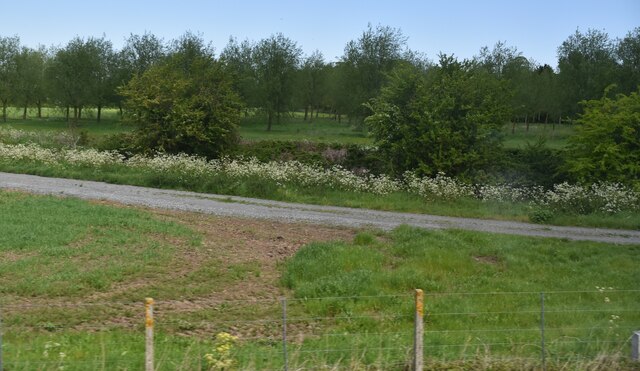
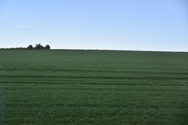
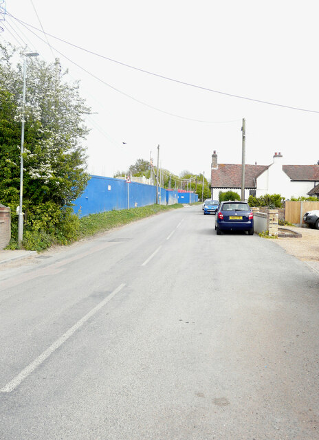
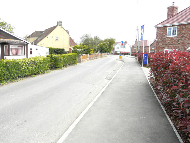
Gore Street is a small residential road located in the town of Kent, England. Situated in the heart of the town, it is known for its peaceful and charming atmosphere, making it a popular choice among residents and visitors alike.
The street is lined with a mix of traditional and modern houses, each displaying its unique architectural style and character. Many of the buildings boast well-maintained gardens, adding to the overall appeal of the area. The road is relatively narrow, with limited on-street parking available, contributing to its tranquil ambiance.
Gore Street benefits from its convenient location, with various amenities and facilities within easy reach. Within walking distance, residents can find a range of shops, including convenience stores, supermarkets, and boutiques, providing them with all their daily necessities. Additionally, there are several eateries, cafes, and restaurants offering a wide variety of cuisines to cater to different tastes.
The street is also well-connected in terms of transportation. It is conveniently located near bus stops, providing easy access to other parts of the town and neighboring areas. For those who prefer to travel by car, the road has good connectivity to major highways and roads, making it easily accessible from different parts of Kent.
Overall, Gore Street offers a peaceful and welcoming living environment, with its beautiful houses, convenient amenities, and excellent connectivity, making it a desirable place to reside in Kent.
If you have any feedback on the listing, please let us know in the comments section below.
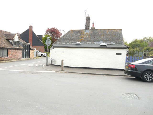
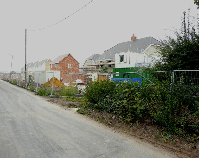
Gore Street Images
Images are sourced within 2km of 51.339403/1.264123 or Grid Reference TR2765. Thanks to Geograph Open Source API. All images are credited.


Gore Street is located at Grid Ref: TR2765 (Lat: 51.339403, Lng: 1.264123)
Administrative County: Kent
District: Thanet
Police Authority: Kent
What 3 Words
///chairing.fond.diary. Near Birchington-on-Sea, Kent
Nearby Locations
Related Wikis
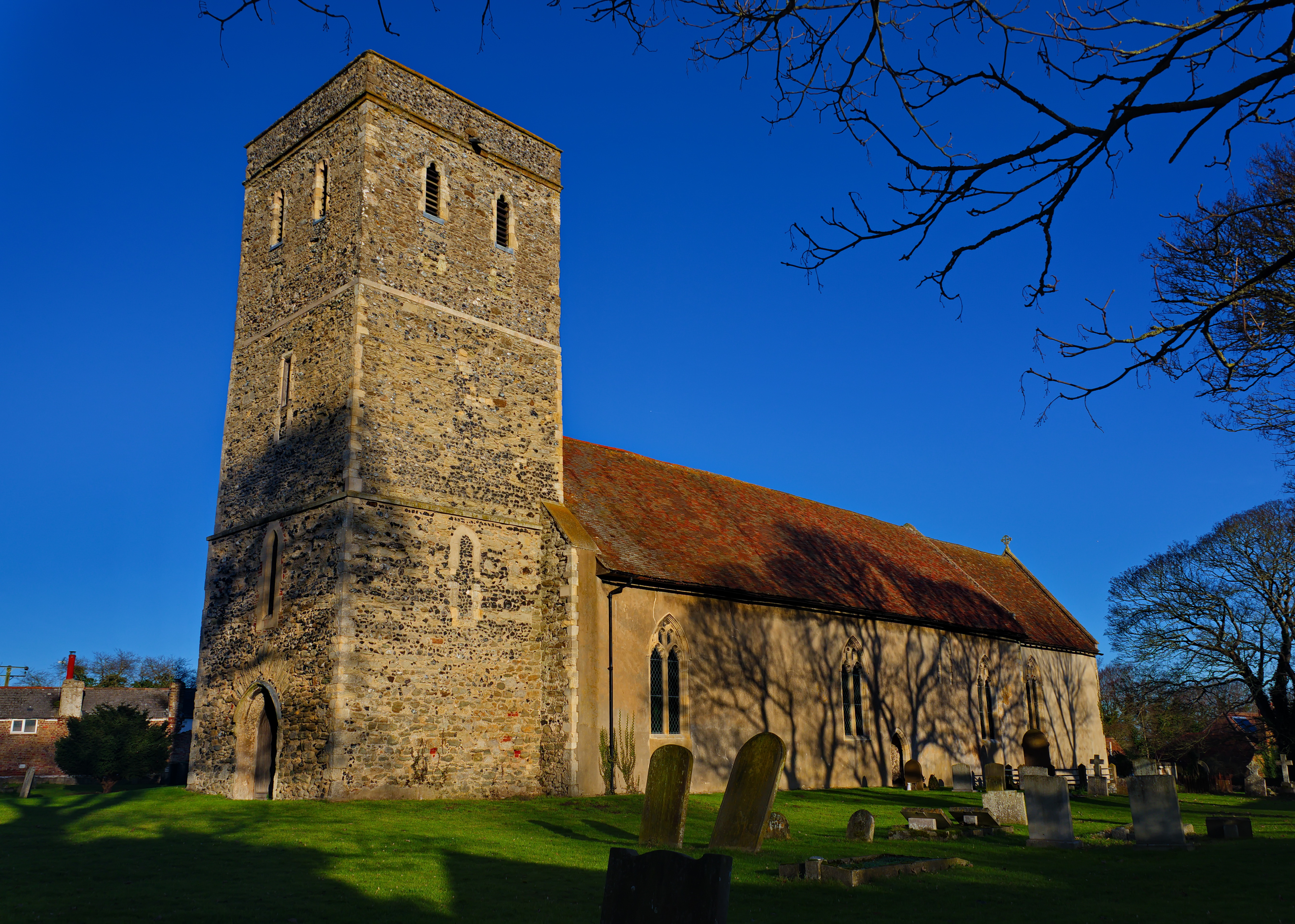
Monkton, Kent
Monkton is a village and civil parish in the Thanet District of Kent, England. The village is located at the south-west edge of the Isle of Thanet and...

Sarre Windmill
Sarre Windmill is a Grade II listed smock mill in Sarre, Kent, England, that was built in 1820. Formerly restored and working commercially, the mill is...
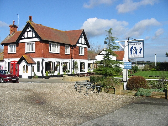
Plucks Gutter
Plucks Gutter is a hamlet in the civil parish of Stourmouth, Kent, England. The hamlet is situated where the Little Stour and Great Stour rivers meet...

Sarre, Kent
Sarre is a village and civil parish in Thanet District in Kent, England. The village is a part of St. Nicholas-at-Wade ecclesiastical parish, after having...
Nearby Amenities
Located within 500m of 51.339403,1.264123Have you been to Gore Street?
Leave your review of Gore Street below (or comments, questions and feedback).