Richmond Field
Downs, Moorland in Cambridgeshire Fenland
England
Richmond Field
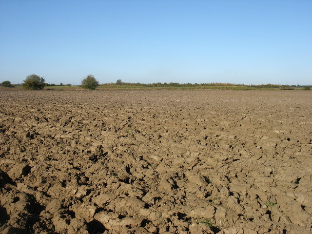
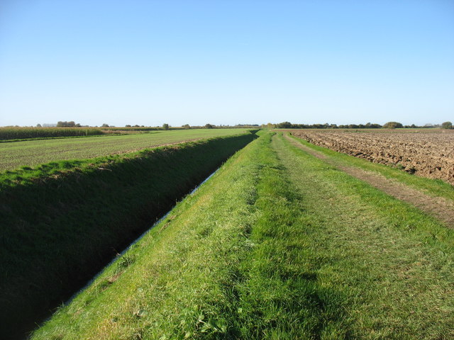
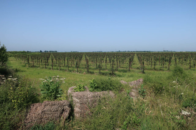
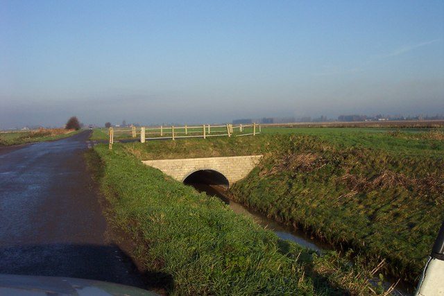
Richmond Field, located in Cambridgeshire, England, is a picturesque area known for its stunning downs and moorland landscapes. Spanning over a vast area, the field offers a diverse range of natural features and is a popular destination for nature enthusiasts and hikers alike.
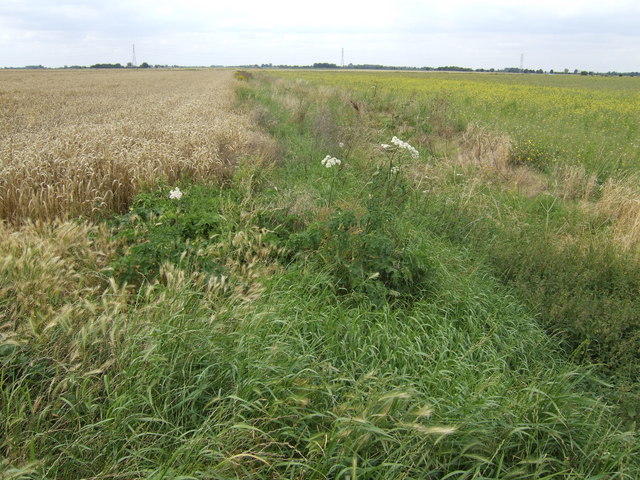
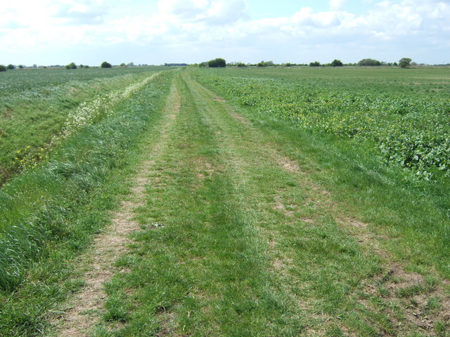
The downs of Richmond Field are characterized by their gently rolling hills, covered in lush green grasses and dotted with vibrant wildflowers during the summer months. These downs provide a serene and tranquil setting for visitors to enjoy leisurely walks or picnics while soaking in the breathtaking views of the surrounding countryside.
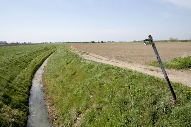
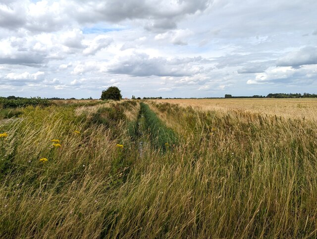
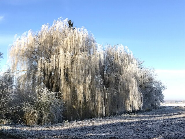
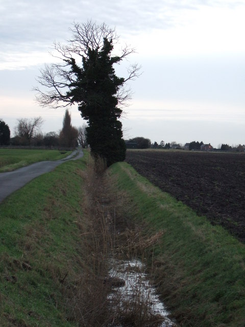
The moorland of Richmond Field showcases a different side of the landscape, with its rugged and untamed beauty. Here, visitors will find expanses of heather and bracken, interspersed with scattered trees and rocky outcrops. This habitat is home to a wide variety of wildlife, including birds, small mammals, and even reptiles.
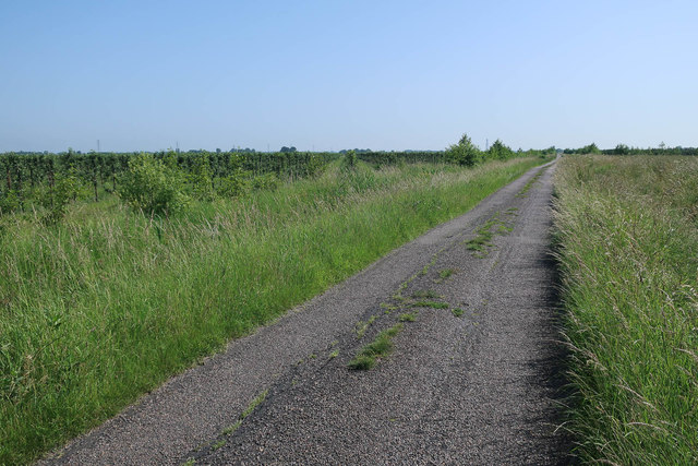
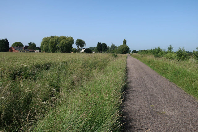
Richmond Field also boasts several well-marked trails, allowing visitors to explore the area at their own pace. These trails wind through both the downs and moorland, providing visitors with the opportunity to fully immerse themselves in the natural wonders of the field.
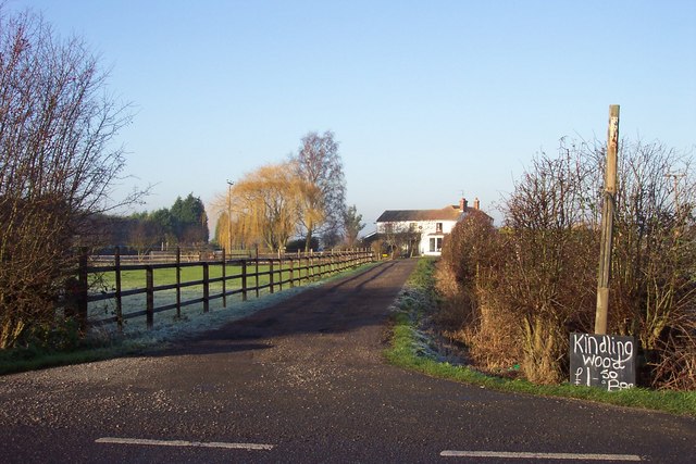
In addition to its natural beauty, Richmond Field is also of historical significance. The field has been used for farming purposes for centuries, with evidence of ancient settlements and agricultural practices still visible today.
Overall, Richmond Field in Cambridgeshire offers a captivating blend of downs and moorland landscapes, making it a perfect destination for those seeking tranquility, natural beauty, and a connection to the region's rich history.
If you have any feedback on the listing, please let us know in the comments section below.
Richmond Field Images
Images are sourced within 2km of 52.679866/0.086968338 or Grid Reference TF4111. Thanks to Geograph Open Source API. All images are credited.


Richmond Field is located at Grid Ref: TF4111 (Lat: 52.679866, Lng: 0.086968338)
Division: Isle of Ely
Administrative County: Cambridgeshire
District: Fenland
Police Authority: Cambridgeshire
What 3 Words
///prom.discrepancy.initiated. Near Wisbech, Cambridgeshire
Nearby Locations
Related Wikis

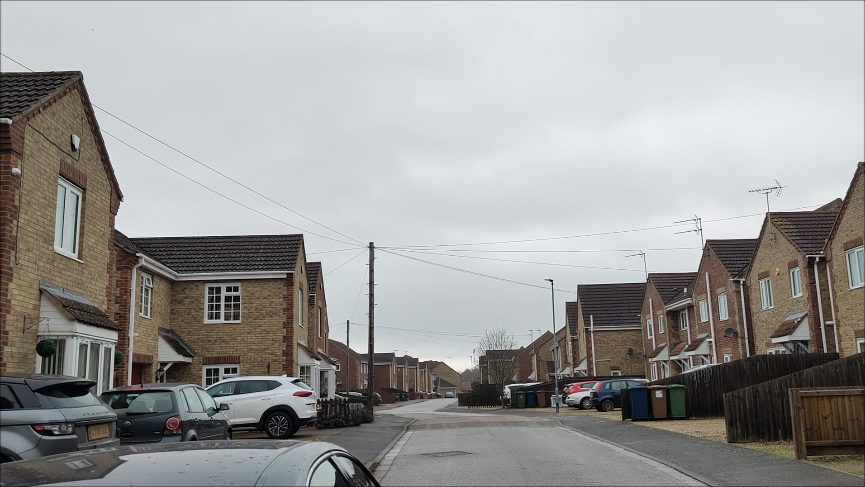
Gorefield
Gorefield is a village and civil parish in the Fenland district of Cambridgeshire, England. At the time of the 2001 census, the parish's population was...

Wisbech St Mary F.C.
Wisbech St Mary Football Club is a football club based in Wisbech St Mary, Cambridgeshire in England. The club are currently members of the Cambridgeshire...
Wisbech St Mary railway station
Wisbech St Mary railway station was a station on the Midland and Great Northern Joint Railway line between Wisbech and Peterborough. Located in Wisbech...
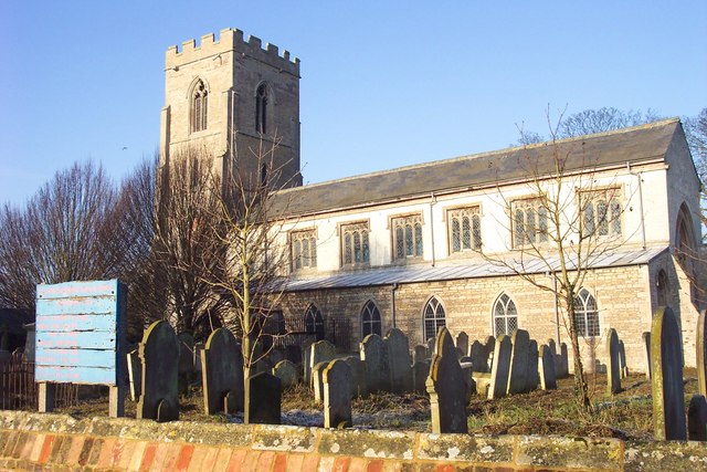
St John the Baptist's Church, Parson Drove
St John the Baptist's Church is a redundant Anglican church in the village of Parson Drove, Cambridgeshire, England. It is recorded in the National Heritage...
Leverington
Leverington is a village and civil parish in the Fenland District of Cambridgeshire, England. The settlement is to the north of Wisbech. At the time of...

Leverington Hall
Leverington Hall is a 17th-century country house in the parish of Leverington, Cambridgeshire, England. The house is Grade I listed and is privately owned...

Newton-in-the-Isle
Newton-in-the-Isle is a village and civil parish in the Fenland District of the Isle of Ely, Cambridgeshire, England, The village is 4 miles (6 km) to...
FC Parson Drove
Football Club Parson Drove is a football club based in Parson Drove, Cambridgeshire, England. They are currently members of the Eastern Counties League...
Have you been to Richmond Field?
Leave your review of Richmond Field below (or comments, questions and feedback).