Carlingwark Loch

Lake, Pool, Pond, Freshwater Marsh in Kirkcudbrightshire

Scotland

Carlingwark Loch

The track to Cuil Farm Cuil Farm is hidden over the brow of the hill.
The track to Cuil Farm Credit: Peter Mackenzie

Carlingwark Loch, located in Kirkcudbrightshire, Scotland, is a freshwater loch that covers an area of approximately 55 acres. It is nestled amidst picturesque surroundings, surrounded by rolling hills and lush greenery. The loch is a popular attraction for both locals and visitors due to its scenic beauty and diverse wildlife.

The tranquil waters of Carlingwark Loch offer a peaceful retreat for nature lovers and outdoor enthusiasts. The loch is home to a variety of fish species, including perch, pike, and roach, making it a popular spot for anglers. Fishing permits can be obtained to enjoy a day of angling on the loch.

In addition to its fishing opportunities, Carlingwark Loch offers a range of recreational activities. Visitors can partake in boating and kayaking on the loch, with boat hire facilities available nearby. The calm waters and gentle breeze create an ideal environment for a leisurely paddle or a peaceful sail.

Surrounding the loch, there is a freshwater marsh that provides a habitat for a diverse range of flora and fauna. Birdwatchers can spot a variety of waterfowl, including swans, ducks, and herons, making it a haven for birdwatching enthusiasts.

Carlingwark Loch is also steeped in history. The ruins of Threave Castle, a 14th-century fortress, can be found on an island within the loch. This adds an element of intrigue and historical significance to the area.

Overall, Carlingwark Loch offers a peaceful and scenic retreat, providing a range of outdoor activities and wildlife sightings for visitors to enjoy. Its natural beauty and historical significance make it a must-visit destination for those exploring Kirkcudbrightshire.

If you have any feedback on the listing, please let us know in the comments section below.

Carlingwark Loch Images

Images are sourced within 2km of 54.931937/-3.9317658 or Grid Reference NX7661. Thanks to Geograph Open Source API. All images are credited.

The track to Cuil Farm Cuil Farm is hidden over the brow of the hill.
The track to Cuil Farm
Cuil Farm is hidden over the brow of the hill.
Mid Kelton Farm The entrance driveway to Mid Kelton farm.
Mid Kelton Farm
The entrance driveway to Mid Kelton farm.
Minor road to Halmyre The road is part of national cycle route no.7.
Minor road to Halmyre
The road is part of national cycle route no.7.
Minor road to Castle Douglas
Footpath For Castle Douglas This path leads to Crae Hill and Castle Douglas, providing an attractive and easy round trip in this lovely part of Galloway.
Footpath For Castle Douglas
This path leads to Crae Hill and Castle Douglas, providing an attractive and easy round trip in this lovely part of Galloway.
Walking Near Mid Kelton National Cycle Route No7 uses this minor road near Castle Douglas.
Walking Near Mid Kelton
National Cycle Route No7 uses this minor road near Castle Douglas.
Kelton to Gelston road A long straight.
Kelton to Gelston road
A long straight.
Fields, Halmyre South of Castle Douglas
Fields, Halmyre
South of Castle Douglas
Footpath at Kelton With two kissing gates where the path crosses a field entrance.
Footpath at Kelton
With two kissing gates where the path crosses a field entrance.
Threave House, Castle Douglas Built in 1872 by the Gordon family, house and estate given in 1948 to the National Trust for Scotland, who ran a school of gardening there.
Threave House, Castle Douglas
Built in 1872 by the Gordon family, house and estate given in 1948 to the National Trust for Scotland, who ran a school of gardening there.
Threave Estate Walk on former Kirkcudbright Railway The last train on this line ran in 1965. Running through farmland, it forms part of the 4km country walk around the National Trust for Scotland's Threave Estate.
Threave Estate Walk on former Kirkcudbright Railway
The last train on this line ran in 1965. Running through farmland, it forms part of the 4km country walk around the National Trust for Scotland's Threave Estate.
Castle Douglas Lovely Scottish Town
Castle Douglas
Lovely Scottish Town
Entry of former Carlingwark Canal into Carlingwark Loch, Castle Douglas, Dumfries & Galloway The canal was built in the late 18th century to link Carlingwark Loch with the River Dee by Alexander Gordon, a local landowner
Entry of former Carlingwark Canal into Carlingwark Loch, Castle Douglas, Dumfries & Galloway
The canal was built in the late 18th century to link Carlingwark Loch with the River Dee by Alexander Gordon, a local landowner
Threave Visitor Centre Shopping outlet and cafe
Threave Visitor Centre
Shopping outlet and cafe
Threave Gardens A view from the coffee shop
Threave Gardens
A view from the coffee shop
Cows at Threave They will be still there the next time you return.  There are far fewer real Belted Galloway cows now, since Foot and Mouth Disease contiguous culls in 2001.
Cows at Threave
They will be still there the next time you return. There are far fewer real Belted Galloway cows now, since Foot and Mouth Disease contiguous culls in 2001.
Castle Douglas A view of the main street heading for Stranraer
Castle Douglas
A view of the main street heading for Stranraer
Castle Douglas A coach party is heading home
Castle Douglas
A coach party is heading home
Show me another place!

Carlingwark Loch is located at Grid Ref: NX7661 (Lat: 54.931937, Lng: -3.9317658)

Unitary Authority: Dumfries and Galloway

Police Authority: Dumfries and Galloway

What 3 Words

///lied.good.ratty. Near Castle Douglas, Dumfries & Galloway

Related Wikis

Carlingwark Loch

Carlingwark Loch is a small freshwater loch in the historical county of Kirkcudbrightshire, Dumfries and Galloway, Scotland lying just south of Castle...

The Fullarton

The Fullarton is a performing arts theatre and entertainment venue in the town of Castle Douglas in the historical county of Kirkcudbrightshire in Dumfries...

Threave Rovers F.C.

Threave Rovers Football Club are a football club from Castle Douglas in Dumfries and Galloway, Scotland. Formed in October 1953, the club plays its home...

Castle Douglas St Andrew Street railway station

Castle Douglas St Andrew Street railway station served the town of Castle Douglas, Dumfries and Galloway, Scotland, from 1864 to 1867 on the Kirkcudbright...

Castle Douglas Hospital

Castle Douglas Hospital is a health facility in Academy Street, Castle Douglas, Dumfries and Galloway, Scotland. It is managed by NHS Dumfries and Galloway...

Castle Douglas

Castle Douglas (Scottish Gaelic: Caisteal Dhùghlais) is a town in Dumfries and Galloway, Scotland. It lies in the lieutenancy area of Kirkcudbrightshire...

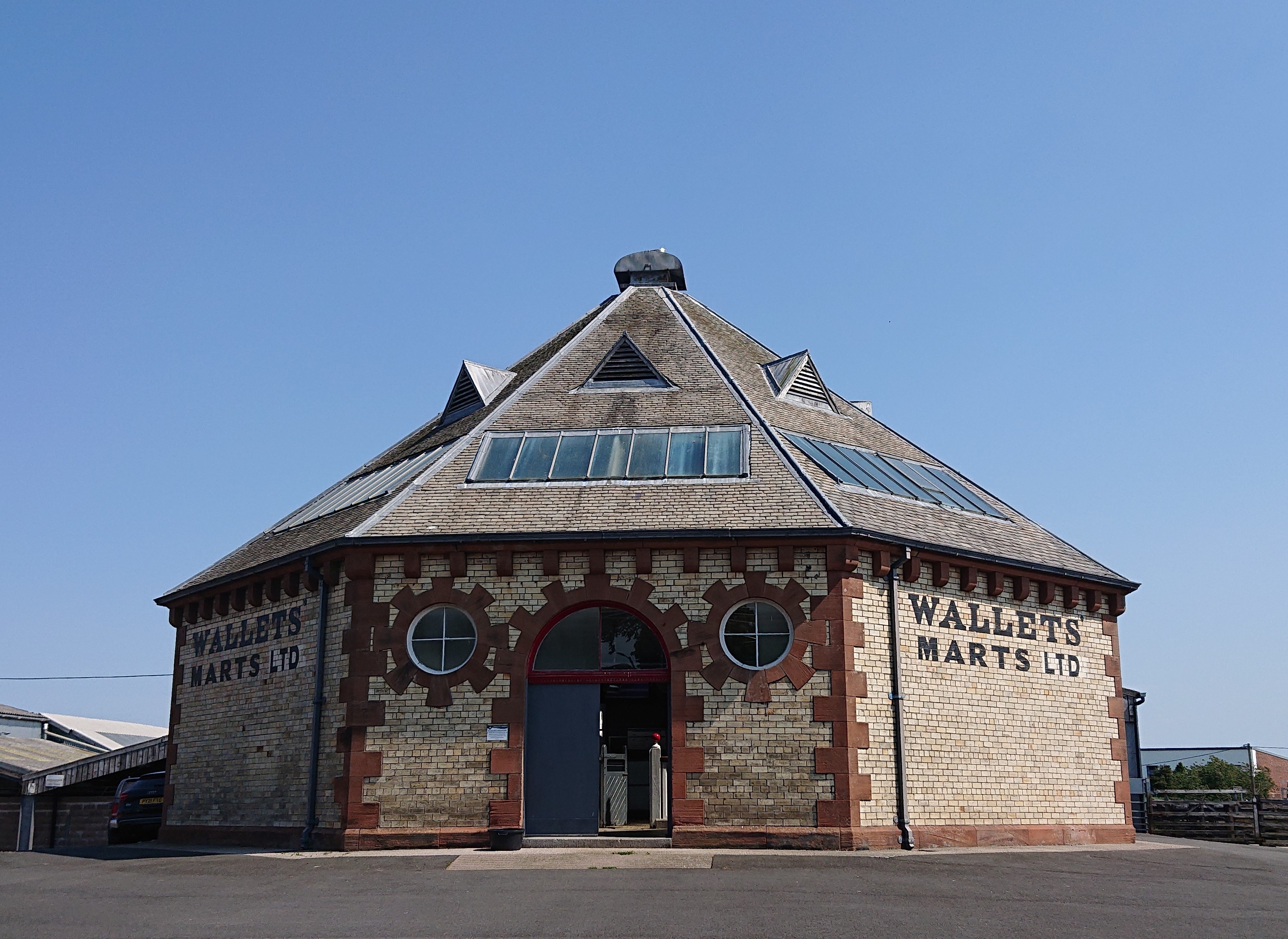
Castle Douglas Auction Mart

The Auction Mart on New Market Street in Castle Douglas is an octagonal building, constructed around 1900 as a cattle market, and used for that purpose...

Threave Gardens

Threave Garden and Estate is a series of gardens owned and managed by the National Trust for Scotland, located near Castle Douglas in the historical county...

Nearby Amenities

Located within 500m of 54.931937,-3.9317658
Meadow View
Naptan AtcoCode: 680000354501
Naptan Bearing: NE
Naptan BusStopType: CUS
Naptan CommonName: Meadow View
Naptan Indicator: no 10
Naptan Landmark: Carlingwark Street
Naptan NaptanCode: 34236484
Naptan Notes: none
Naptan Street: Meadow View
Naptan Verified: no
Source: naptan_import
Lat/Long: 54.9356025/-3.9349932
Toilets
Lat/Long: 54.9350045/-3.9286674
Bus Stop
Threave Terrace
Bench: no
Bus: yes
Lit: no
Public Transport: platform
Shelter: no
Lat/Long: 54.9360633/-3.9332889
Bus Stop
Threave Terrace
Bench: no
Bus: yes
Public Transport: platform
Shelter: no
Lat/Long: 54.936045/-3.9330662
Bus Stop
Carlingwark House
Bench: no
Bus: yes
Lit: no
Passenger Information Display: no
Public Transport: platform
Shelter: no
Lat/Long: 54.9335836/-3.9336355
Bus Stop
Carlingwark House
Bench: no
Bus: yes
Lit: no
Passenger Information Display: no
Public Transport: platform
Shelter: no
Lat/Long: 54.9335651/-3.9334585
Bench
Backrest: yes
Lat/Long: 54.9359497/-3.9311374
Bench
Backrest: yes
Lat/Long: 54.9358879/-3.9307173
Bench
Backrest: yes
Lat/Long: 54.9358356/-3.9304112
Bench
Backrest: yes
Lat/Long: 54.9358/-3.9300627
Leisure: playground
Lat/Long: 54.9358112/-3.9294635
Barrier: kissing_gate
Lat/Long: 54.9332212/-3.9255639
Barrier: kissing_gate
Lat/Long: 54.9284605/-3.92945
Post Box
Collection Times: Mo-Fr 09:00; Sa 15:00
Operator: Royal Mail
Operator Wikidata: Q638098
Post Box Type: lamp
Ref: DG7 54
Royal Cypher: scottish_crown
Lat/Long: 54.9360042/-3.9332511
Power: pole
Lat/Long: 54.9297059/-3.9377519
Power: pole
Lat/Long: 54.9300336/-3.9371625
Power: pole
Lat/Long: 54.9305532/-3.9367017
Power: pole
Lat/Long: 54.9312026/-3.9363069
Power: pole
Lat/Long: 54.931772/-3.9365921
Power: pole
Lat/Long: 54.9322456/-3.9368408
Power: pole
Lat/Long: 54.9326552/-3.9365452
Barrier: yes
Lat/Long: 54.9362557/-3.9298801
Power: pole
Lat/Long: 54.9353436/-3.9362108
Power: pole
Lat/Long: 54.9348347/-3.9360961
Power: pole
Lat/Long: 54.9342134/-3.935856
Power: pole
Lat/Long: 54.933691/-3.9356266
Waste Basket
Lat/Long: 54.9358393/-3.9282554
Drinking Water
Lat/Long: 54.935853/-3.9282252
Life Ring
Emergency: life_ring
Lat/Long: 54.9348735/-3.9274766
Life Ring
Emergency: life_ring
Lat/Long: 54.9350218/-3.9280438
The data included in this document is from www.openstreetmap.org. The data is made available under ODbL.

Have you been to Carlingwark Loch?

Leave your review of Carlingwark Loch below (or comments, questions and feedback).