Mary's Pool
Lake, Pool, Pond, Freshwater Marsh in Dumfriesshire
Scotland
Mary's Pool
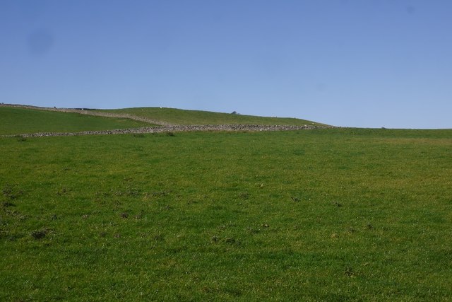
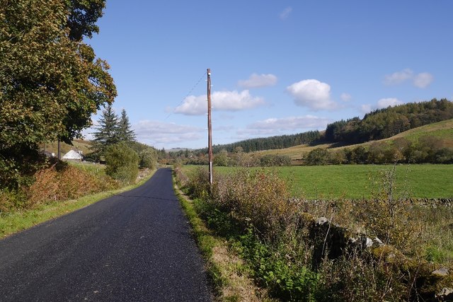
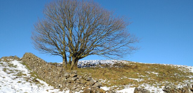
Mary's Pool is a picturesque freshwater marsh located in Dumfriesshire, Scotland. Spanning over an area of approximately 10 acres, it is a renowned natural attraction that offers a serene and tranquil environment for visitors to explore.
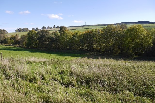
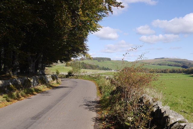
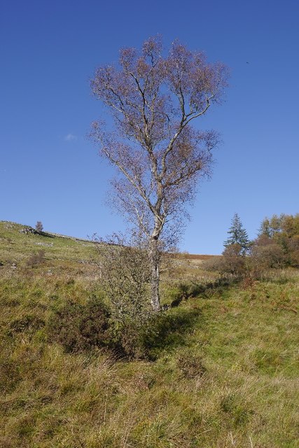
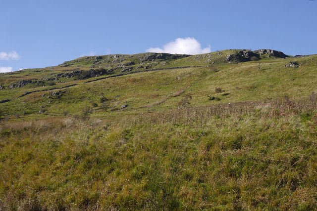
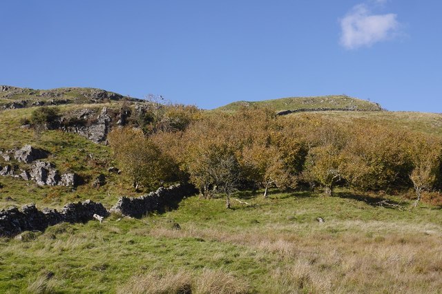
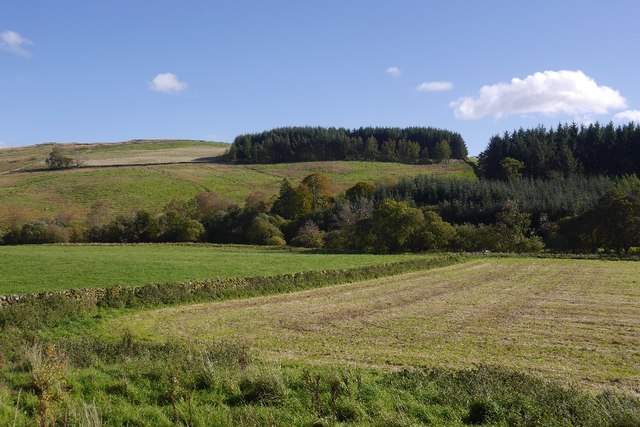
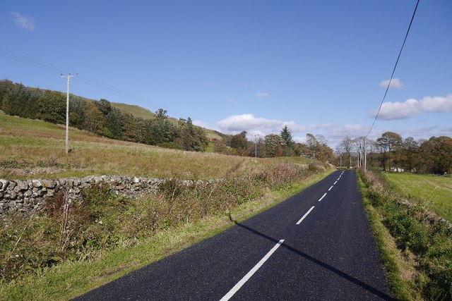
The pool is nestled amidst lush greenery and surrounded by dense woodland, creating a secluded and idyllic setting. It is primarily fed by natural springs, ensuring a constant flow of crystal-clear water throughout the year. The pool's depth varies, ranging from shallow areas perfect for wading to deeper sections suitable for swimming.
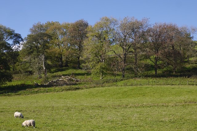
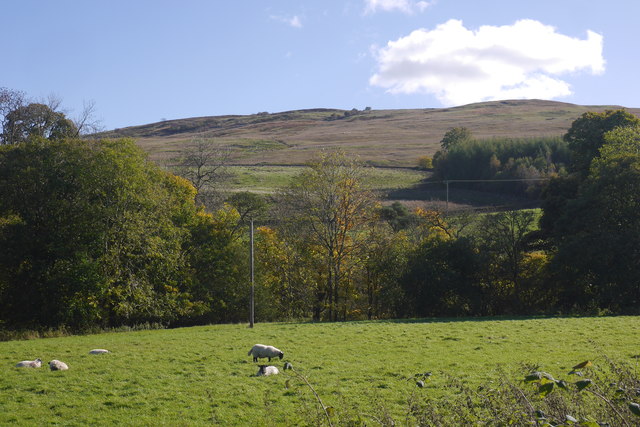
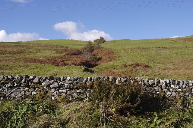
The diverse ecosystem of Mary's Pool supports a wide variety of flora and fauna. The marshland surrounding the pool is home to an array of plant species, including water lilies, reeds, and rushes, which provide habitats for numerous aquatic creatures. Visitors can spot a variety of water birds, such as ducks, swans, and herons, gliding gracefully across the pool's surface.
The pool also offers exciting recreational activities for nature enthusiasts. Fishing is a popular pastime, with the pool teeming with brown trout, pike, and perch. Anglers can try their luck and enjoy the peaceful surroundings while casting their lines. Additionally, the pool is a haven for birdwatching, providing ample opportunities to observe and photograph the diverse bird species that frequent the area.
Mary's Pool is a true gem in Dumfriesshire, offering a natural oasis for those seeking solace and a connection with nature. Its breathtaking beauty and abundant wildlife make it a must-visit destination for both locals and tourists alike.
If you have any feedback on the listing, please let us know in the comments section below.
Mary's Pool Images
Images are sourced within 2km of 55.177473/-3.9438017 or Grid Reference NX7688. Thanks to Geograph Open Source API. All images are credited.

Mary's Pool is located at Grid Ref: NX7688 (Lat: 55.177473, Lng: -3.9438017)
Unitary Authority: Dumfries and Galloway
Police Authority: Dumfries and Galloway
What 3 Words
///lushly.bangle.trucked. Near Thornhill, Dumfries & Galloway
Nearby Locations
Related Wikis

Moniaive railway station
Moniaive railway station is the closed station terminus of the Cairn Valley Light Railway (CVR) branch, from Dumfries. It served the rural area of Moniaive...

Moniaive
Moniaive ( 'monny-IVE'; Scottish Gaelic: Am Moine Naomh, "The Holy Moor") is a village in the Parish of Glencairn, in Dumfries and Galloway, southwest...

Craigdarroch
"Craigdarroch, An Accessory to Murder" is an expansion set for the board game Kill Doctor Lucky Craigdarroch is a house near Moniaive, Dumfries and Galloway...

Crawfordton House
Crawfordton House is a category B listed 19th-century country house, situated close to Moniaive in Dumfriesshire, Scotland. It was operated as Crawfordton...

Cademuir International School
Cademuir International School was a specialist school at Moniaive in Dumfries and Galloway, Scotland. The school, founded by Robert Mulvey in 1990, was...
Kirkland railway station
Kirkland railway station (NX810897) was one of the minor stations on the Cairn Valley Light Railway branch, from Dumfries. It served the rural area around...

Glencairn, Dumfries and Galloway
Glencairn is an ecclesiastical and civil parish in Dumfries and Galloway, Scotland. == Location == According to John Bartholomew's 1887 Gazetteer of the...

Tynron
Tynron is a village and civil parish in Dumfries and Galloway, south-west Scotland, lying in a hollow of the Shinnel Water, 2 miles (3.2 km) from Moniaive...
Nearby Amenities
Located within 500m of 55.177473,-3.9438017Have you been to Mary's Pool?
Leave your review of Mary's Pool below (or comments, questions and feedback).