Mill Plantation
Wood, Forest in Dumfriesshire
Scotland
Mill Plantation
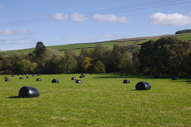
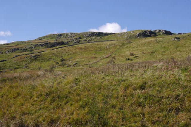
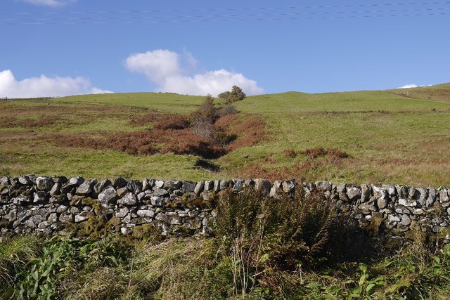
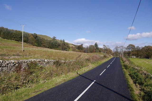
Mill Plantation is a scenic woodland located in Dumfriesshire, Scotland. Covering an expansive area, it is known for its lush greenery, diverse flora, and tranquil atmosphere. The plantation is situated in close proximity to the town of Thornhill, making it easily accessible to visitors.
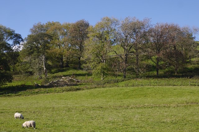
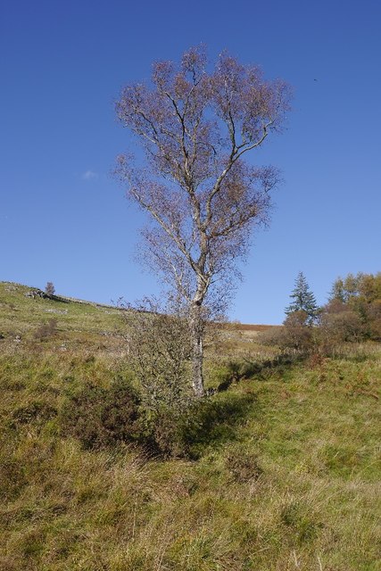
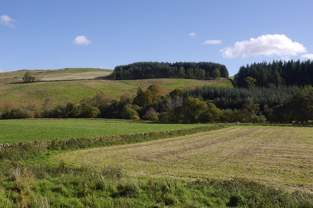
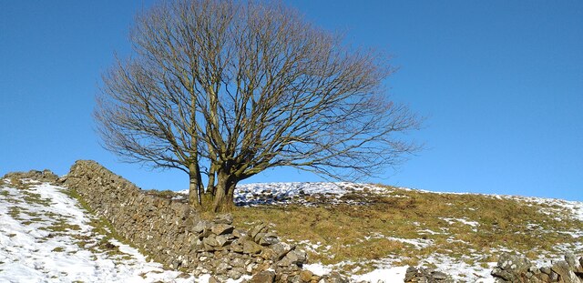
The woodland is primarily composed of native tree species such as oak, birch, and beech, creating a rich and diverse ecosystem. The dense canopy provides a haven for a wide range of wildlife, including various bird species, small mammals, and insects. Nature enthusiasts can enjoy exploring the woodland's numerous trails, which wind through the forest and offer breathtaking views of the surrounding landscape.
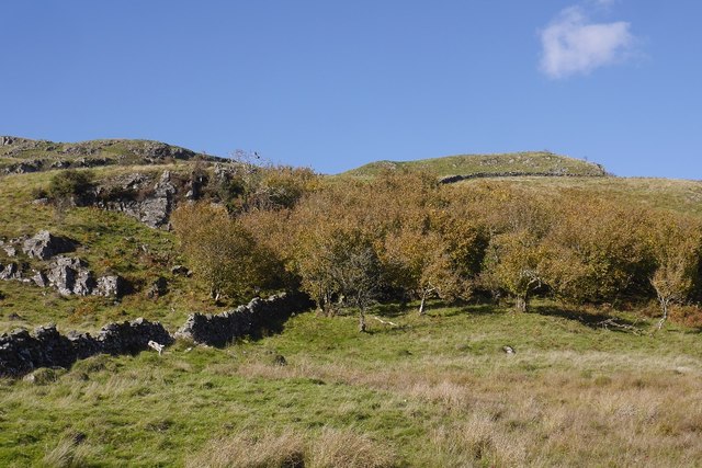
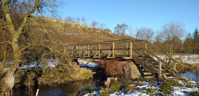
Mill Plantation is also home to a number of historic features, adding to its charm and cultural significance. The remains of an old mill, from which the plantation derives its name, can still be seen, serving as a reminder of the area's industrial past. Additionally, there are remnants of traditional dry stone walls that once divided the land, showcasing the region's agricultural heritage.
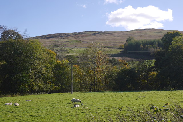
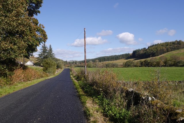
The plantation is a popular destination for outdoor activities such as walking, cycling, and picnicking. It provides a peaceful retreat away from the hustle and bustle of everyday life, allowing visitors to immerse themselves in the beauty of nature. Whether it's a leisurely stroll along the woodland trails or simply enjoying the serenity of the surroundings, Mill Plantation offers a truly idyllic experience for nature lovers and history enthusiasts alike.
If you have any feedback on the listing, please let us know in the comments section below.
Mill Plantation Images
Images are sourced within 2km of 55.175818/-3.9438782 or Grid Reference NX7688. Thanks to Geograph Open Source API. All images are credited.


Mill Plantation is located at Grid Ref: NX7688 (Lat: 55.175818, Lng: -3.9438782)
Unitary Authority: Dumfries and Galloway
Police Authority: Dumfries and Galloway
What 3 Words
///fees.vessel.kitchen. Near Thornhill, Dumfries & Galloway
Nearby Locations
Related Wikis

Moniaive railway station
Moniaive railway station is the closed station terminus of the Cairn Valley Light Railway (CVR) branch, from Dumfries. It served the rural area of Moniaive...

Moniaive
Moniaive ( 'monny-IVE'; Scottish Gaelic: Am Moine Naomh, "The Holy Moor") is a village in the Parish of Glencairn, in Dumfries and Galloway, southwest...

Craigdarroch
"Craigdarroch, An Accessory to Murder" is an expansion set for the board game Kill Doctor Lucky Craigdarroch is a house near Moniaive, Dumfries and Galloway...

Crawfordton House
Crawfordton House is a category B listed 19th-century country house, situated close to Moniaive in Dumfriesshire, Scotland. It was operated as Crawfordton...

Cademuir International School
Cademuir International School was a specialist school at Moniaive in Dumfries and Galloway, Scotland. The school, founded by Robert Mulvey in 1990, was...
Kirkland railway station
Kirkland railway station (NX810897) was one of the minor stations on the Cairn Valley Light Railway branch, from Dumfries. It served the rural area around...

Glencairn, Dumfries and Galloway
Glencairn is an ecclesiastical and civil parish in Dumfries and Galloway, Scotland. == Location == According to John Bartholomew's 1887 Gazetteer of the...

Tynron
Tynron is a village and civil parish in Dumfries and Galloway, south-west Scotland, lying in a hollow of the Shinnel Water, 2 miles (3.2 km) from Moniaive...
Nearby Amenities
Located within 500m of 55.175818,-3.9438782Have you been to Mill Plantation?
Leave your review of Mill Plantation below (or comments, questions and feedback).