Polvaird Loch
Lake, Pool, Pond, Freshwater Marsh in Dumfriesshire
Scotland
Polvaird Loch
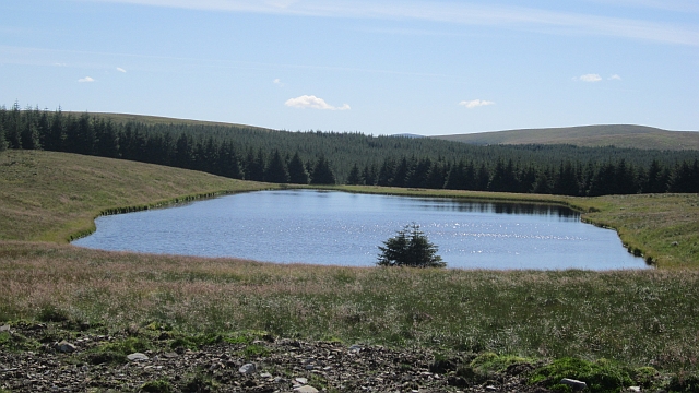
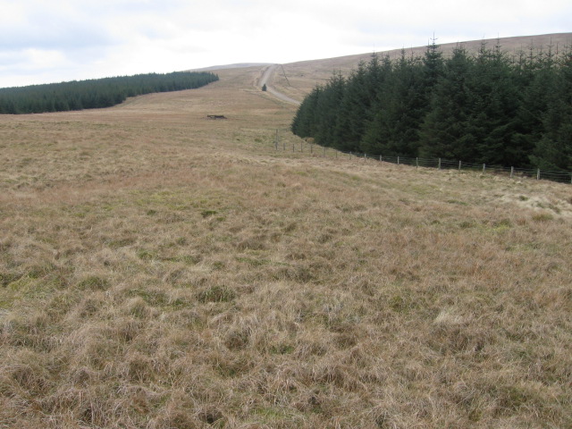
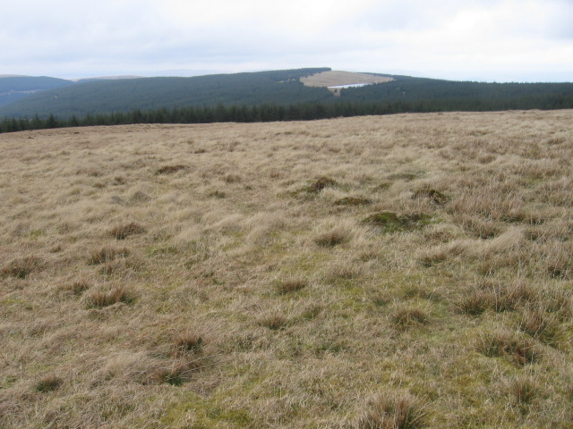
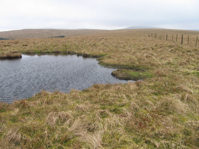
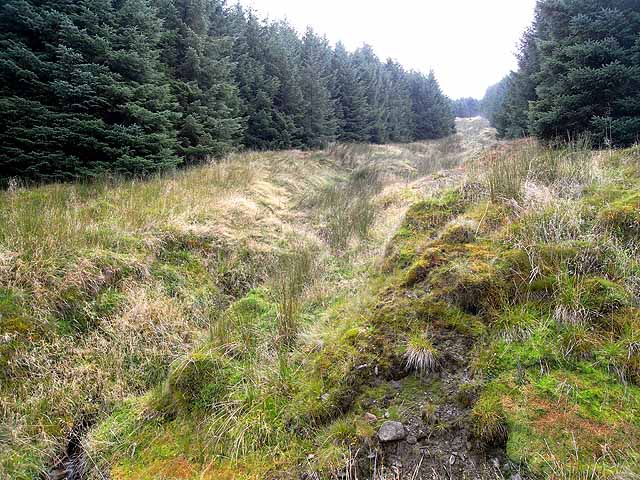
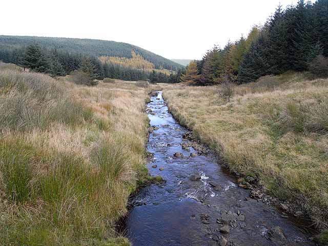
Polvaird Loch is a picturesque freshwater body located in Dumfriesshire, Scotland. Nestled amidst rolling hills and lush greenery, it is a tranquil haven for nature enthusiasts and a popular destination for locals and tourists alike. The loch spans an area of approximately 20 acres and is home to a diverse range of flora and fauna.
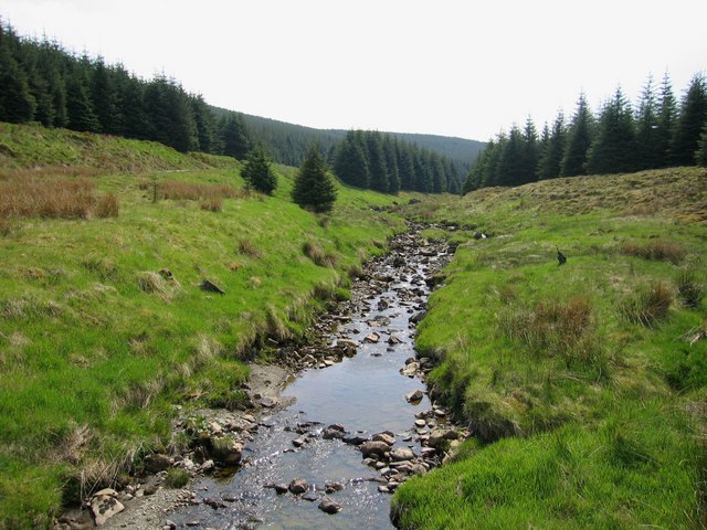
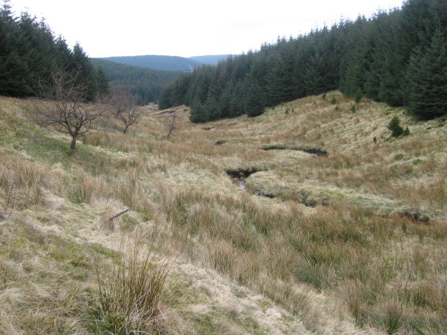
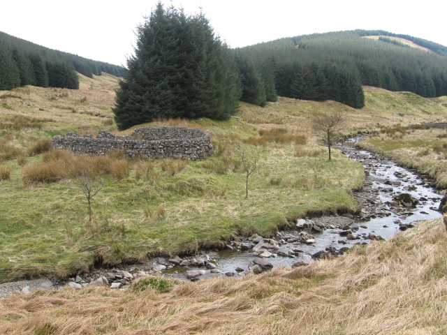
Surrounded by dense vegetation, Polvaird Loch is known for its striking beauty and serene atmosphere. The water is crystal clear, reflecting the surrounding landscape and providing a stunning backdrop for photography enthusiasts. The loch is primarily fed by natural springs and small streams, ensuring a constant flow of clean, freshwater.
Rich in biodiversity, Polvaird Loch supports a wide variety of plant and animal life. The shores are adorned with an array of aquatic plants, including water lilies and reeds, providing a vibrant display of colors. The loch is also home to numerous species of fish, including perch and pike, making it a popular spot for fishing enthusiasts.
Birdwatchers are particularly drawn to Polvaird Loch due to the presence of several waterfowl species. Visitors can spot different species of ducks, swans, and geese gracefully gliding across the water. The surrounding wetlands and marshes provide an ideal habitat for a range of bird species, including herons and kingfishers.
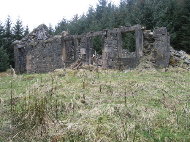
Polvaird Loch offers a tranquil retreat for those seeking solace in nature. Whether it is fishing, birdwatching, or simply enjoying a leisurely stroll along the peaceful shores, this enchanting freshwater body is a true gem of Dumfriesshire.
If you have any feedback on the listing, please let us know in the comments section below.
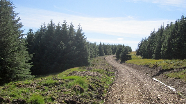
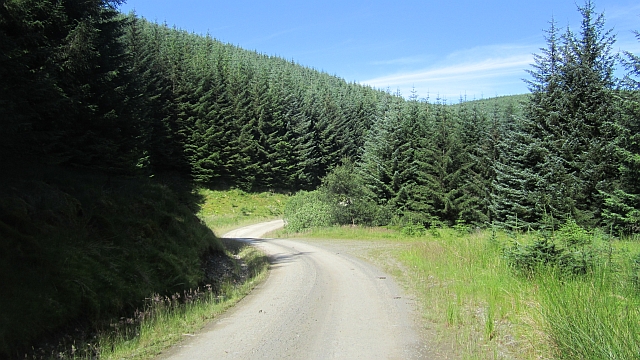
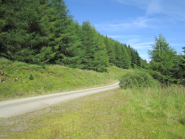
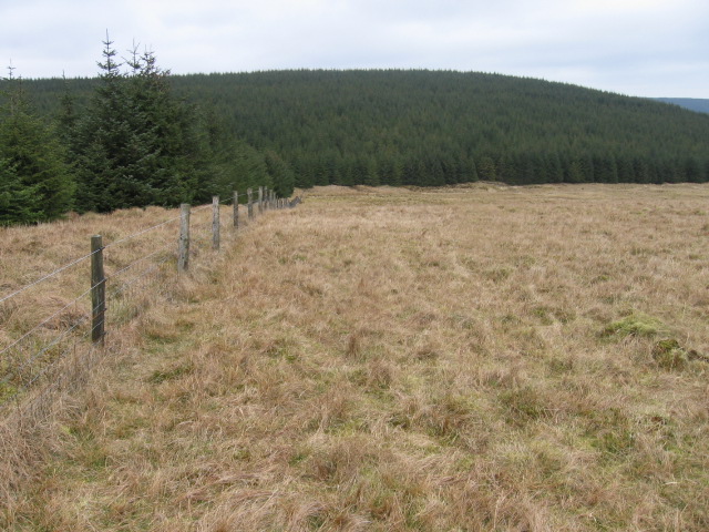
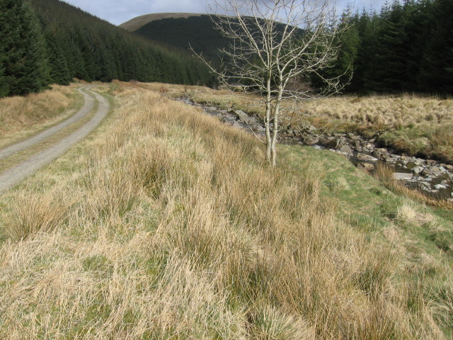
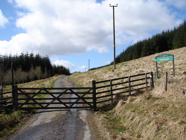
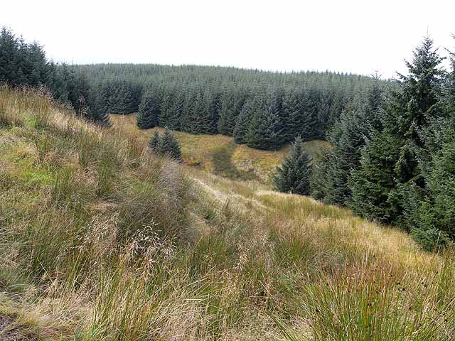
Polvaird Loch Images
Images are sourced within 2km of 55.319784/-4.0605069 or Grid Reference NS6904. Thanks to Geograph Open Source API. All images are credited.
Polvaird Loch is located at Grid Ref: NS6904 (Lat: 55.319784, Lng: -4.0605069)
Unitary Authority: Dumfries and Galloway
Police Authority: Dumfries and Galloway
What 3 Words
///survived.moods.blogs. Near Kirkconnel, Dumfries & Galloway
Nearby Locations
Related Wikis

Blackcraig Hill
Blackcraig Hill is a hill in the Carsphairn and Scaur Hills range, part of the Southern Uplands of Scotland. It lies southeast of the town of New Cumnock...

Kelloside
Kelloside is a historic place south of Kirkconnel parish and the River Nith in Dumfries and Galloway, Dumfriesshire, Scotland. Old Kelloside is located...

Windy Standard
Windy Standard is a hill in the Carsphairn and Scaur Hills range, part of the Southern Uplands of Scotland. It lies in Dumfries and Galloway, south of...
Kelloholm
Kelloholm is a village in Dumfries and Galloway, Scotland. It has a primary school, a public house and several shops. Kelloholm lies next to Kirkconnel...
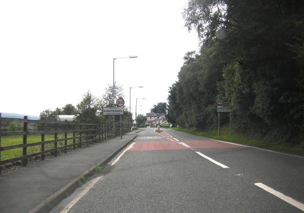
Kirkconnel
Kirkconnel (Gaelic: Cille Chonbhaill) is a small parish in Dumfries and Galloway, southwestern Scotland. It is located on the A76 near the head of Nithsdale...

Kirkconnel railway station
Kirkconnel railway station is a railway station in the town of Kirkconnel, Dumfries and Galloway, Scotland. The station is unstaffed, owned by Network...

A76 road
The A76 is a major trunk road in south west Scotland. Starting at Kilmarnock in East Ayrshire, the A76 goes through or immediately by-passes Hurlford...
Crawick Holm
Crawick Holm was a football ground in Sanquhar, Scotland. It was the home ground of Nithsdale Wanderers. == History == Nithsdale Wanderers moved to Crawick...
Nearby Amenities
Located within 500m of 55.319784,-4.0605069Have you been to Polvaird Loch?
Leave your review of Polvaird Loch below (or comments, questions and feedback).