Loch na Caillich

Lake, Pool, Pond, Freshwater Marsh in Perthshire

Scotland

Loch na Caillich

Moorland, Meall na Mòine
Moorland, Meall na Mòine Credit: Richard Webb

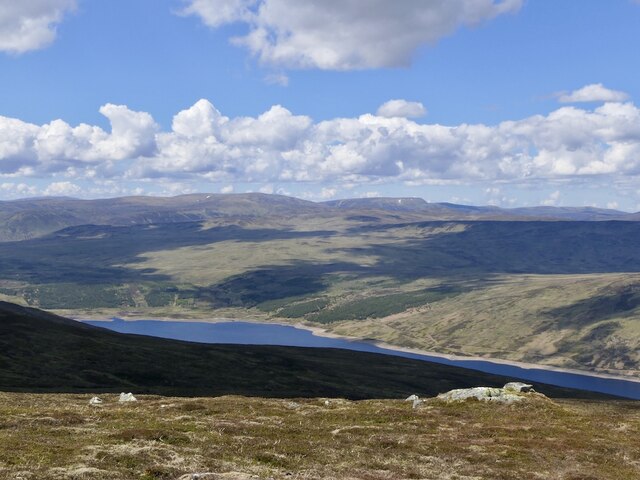
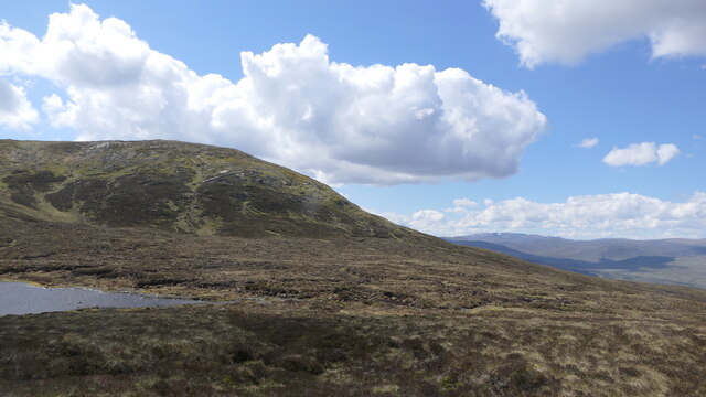
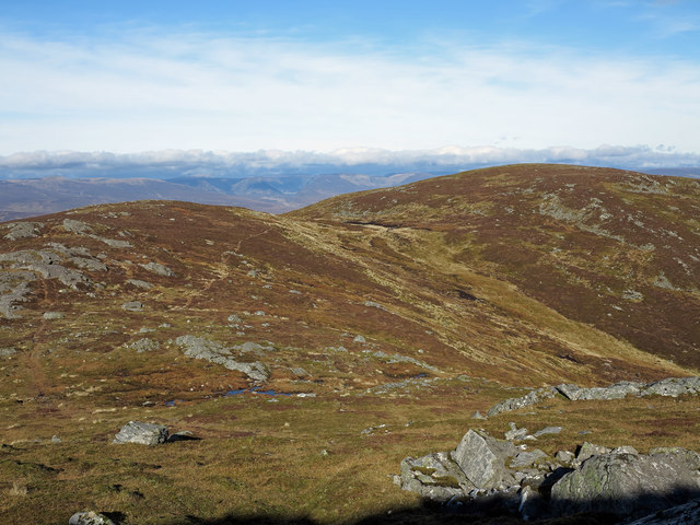
Loch na Caillich is a freshwater loch located in Perthshire, Scotland. It is situated in the Glen Quaich area, near the village of Amulree. The loch covers an area of approximately 6 hectares and has an average depth of 3 meters.

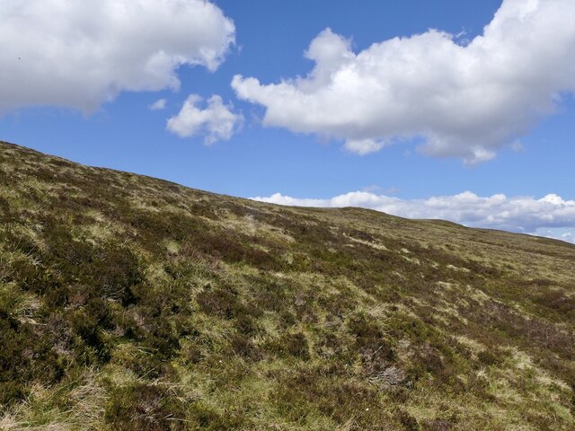
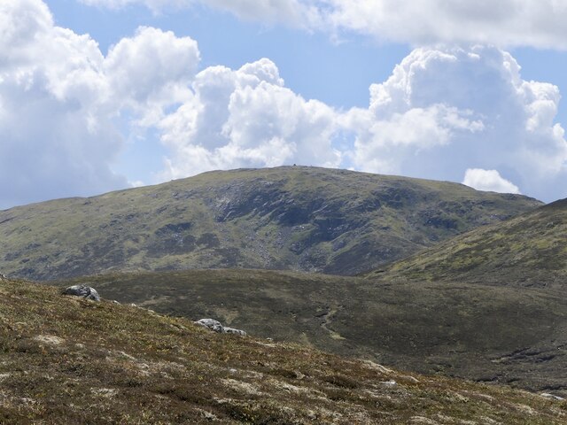
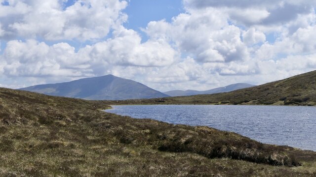
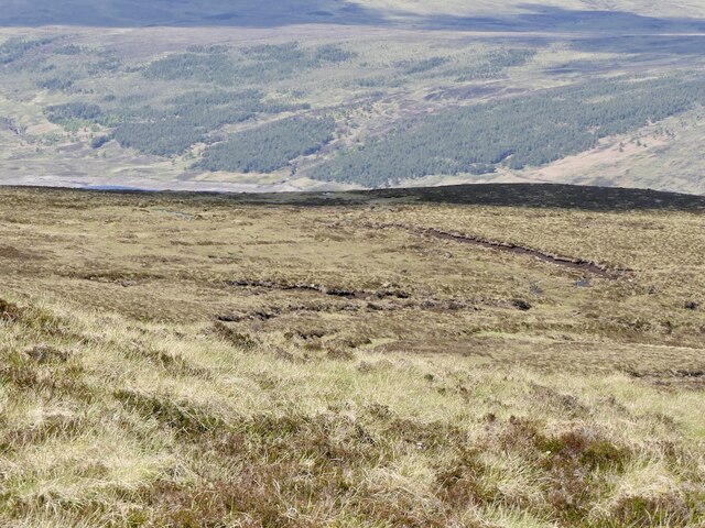
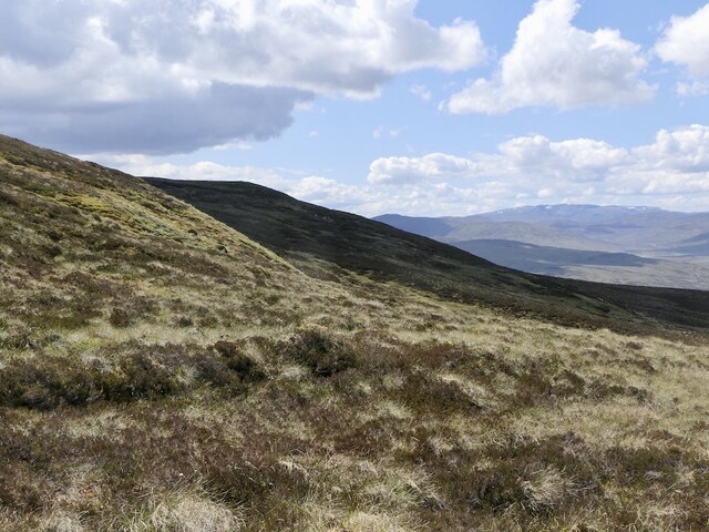
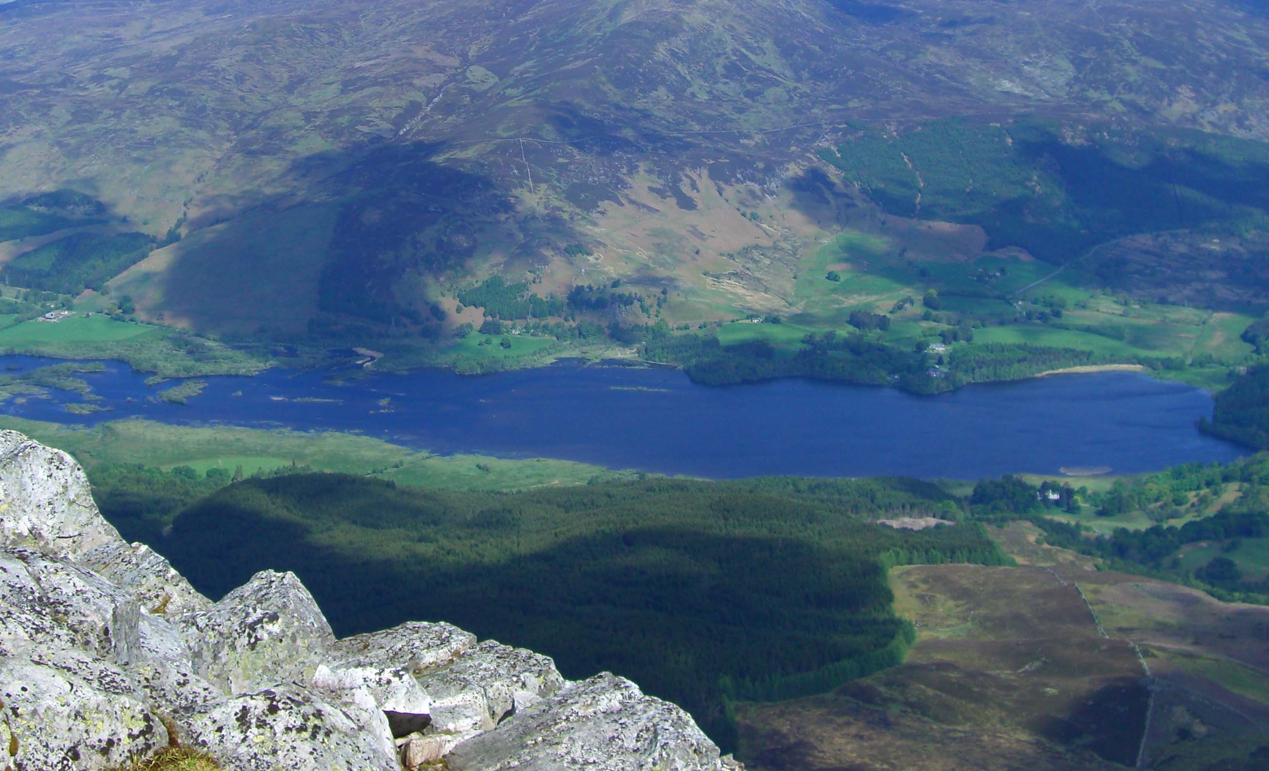
Surrounded by picturesque landscapes and rolling hills, Loch na Caillich is known for its tranquil and serene atmosphere. The loch is fed by several small streams and springs, ensuring a constant flow of freshwater. Its crystal-clear waters are home to various species of fish, including brown trout and perch, making it a popular spot for anglers.

The area surrounding Loch na Caillich is rich in flora and fauna. The loch is fringed by reed beds, providing a habitat for waterfowl and other bird species. Visitors can often spot ducks, swans, and waders inhabiting the marshy areas. The surrounding woodlands are home to a variety of wildlife such as red squirrels, roe deer, and even the occasional sighting of otters.

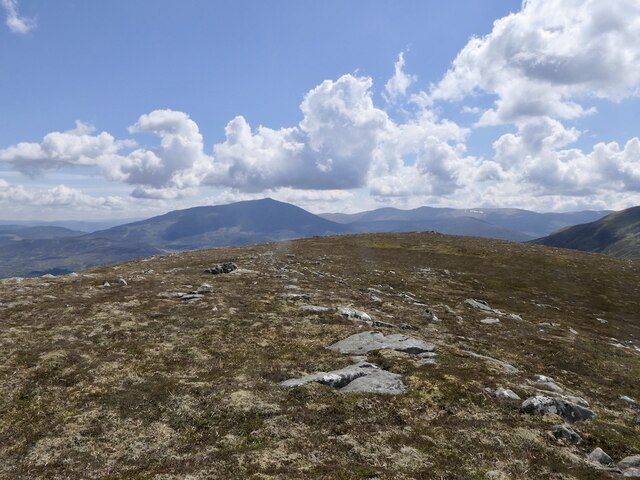
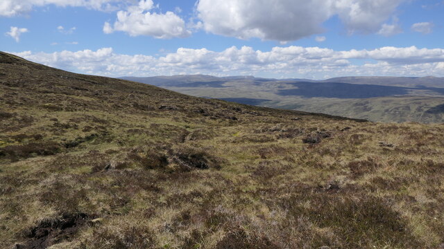
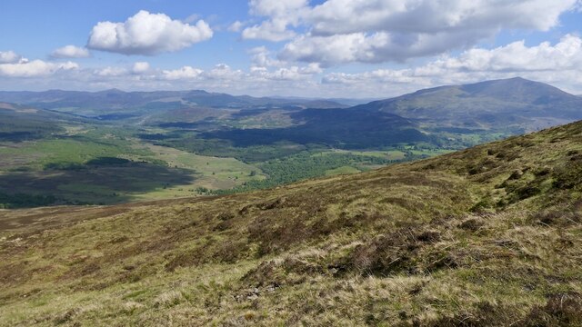
The loch is a popular destination for outdoor enthusiasts, offering opportunities for fishing, boating, and birdwatching. There are also several walking trails nearby, allowing visitors to explore the surrounding countryside and admire the breathtaking views.

Overall, Loch na Caillich is a peaceful and idyllic freshwater loch, offering a haven for wildlife and a tranquil retreat for visitors seeking natural beauty and outdoor activities.

If you have any feedback on the listing, please let us know in the comments section below.

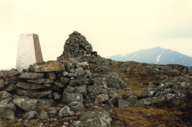
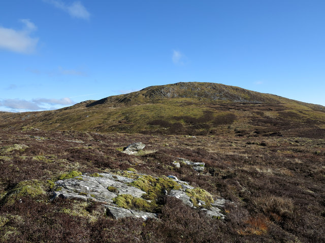
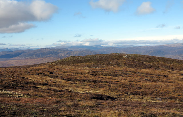
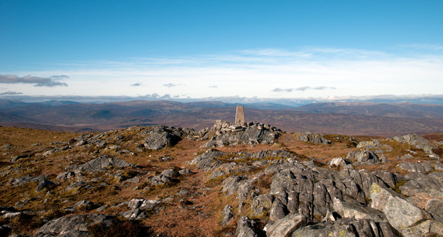
Loch na Caillich Images

Images are sourced within 2km of 56.737837/-4.1375279 or Grid Reference NN6962. Thanks to Geograph Open Source API. All images are credited.

Moorland, Meall na Mòine
View over Loch Errochty Looking towards Druim Uachdair from the slopes of Beinn a' Chuallaich.
View over Loch Errochty
Looking towards Druim Uachdair from the slopes of Beinn a' Chuallaich.
Beinn a' Chuallaich View from around 700m on the northeast ridge.
Beinn a' Chuallaich
View from around 700m on the northeast ridge.
743m top above Loch na Caillich View towards Schiehallion from one of Beinn a' Chuallaich's lower tops.
743m top above Loch na Caillich
View towards Schiehallion from one of Beinn a' Chuallaich's lower tops.
Outflow, Loch na Caillich Lochan on Beinn a' Chuallaich.
Outflow, Loch na Caillich
Lochan on Beinn a' Chuallaich.
Loch na Caillich and Schiehallion
Bog on Beinn a' Chuallaich Below Meall nan Eun, deep dissected peat deposits.
Bog on Beinn a' Chuallaich
Below Meall nan Eun, deep dissected peat deposits.
Meall nan Eun Steep slopes above bogs on Beinn a' Chuallaich.
Meall nan Eun
Steep slopes above bogs on Beinn a' Chuallaich.
Bog on Beinn a' Chuallaich Northern slopes above Loch Errochty.
Bog on Beinn a' Chuallaich
Northern slopes above Loch Errochty.
North side of Beinn a' Chuallaich Under the steep slopes of Meall nan Eun.
North side of Beinn a' Chuallaich
Under the steep slopes of Meall nan Eun.
Eastern slopes of Beinn a' Chuallaich A view down Strath Tummel from below a 743m top.
Eastern slopes of Beinn a' Chuallaich
A view down Strath Tummel from below a 743m top.
Trig point on Beinn a' Chuallaich The mountain's trig point seen from the actual summit which is at a cairn a short distance away.
The distant, rounded mountains are those around the Pass of Drumochter.
Trig point on Beinn a' Chuallaich
The mountain's trig point seen from the actual summit which is at a cairn a short distance away. The distant, rounded mountains are those around the Pass of Drumochter.
Trig point and summit cairn on Beinn a' Chuallaich The triangulation pillar has an Ordnance Survey flush bracket serial number S9358. More information at <span class="nowrap"><a title="http://www.trigpointinguk.com/trigs/trig-details.php?t=1143" rel="nofollow ugc noopener" href="http://www.trigpointinguk.com/trigs/trig-details.php?t=1143">Link</a><img style="margin-left:2px;" alt="External link" title="External link - shift click to open in new window" src="https://s1.geograph.org.uk/img/external.png" width="10" height="10"/></span>
Trig point and summit cairn on Beinn a' Chuallaich
The triangulation pillar has an Ordnance Survey flush bracket serial number S9358. More information at LinkExternal link
Approaching the summit of Beinn a' Chuallaich Footprints lead to the trig point and cairn
Approaching the summit of Beinn a' Chuallaich
Footprints lead to the trig point and cairn
Low heather with rock slab outcrop Beinn a' Chuallaich lies beyond the low heather of the foreground which belongs to a minor knoll rising to around 810m.
Low heather with rock slab outcrop
Beinn a' Chuallaich lies beyond the low heather of the foreground which belongs to a minor knoll rising to around 810m.
Heathery knoll west of Beinn a' Chuallaich The ridge to the west of Beinn a' Chuallaich crosses several minor, heathery knolls; the one in view rises to a little over 800m. Ben Alder and associated mountains are seen centrally in the distance having some cloud cover.
Heathery knoll west of Beinn a' Chuallaich
The ridge to the west of Beinn a' Chuallaich crosses several minor, heathery knolls; the one in view rises to a little over 800m. Ben Alder and associated mountains are seen centrally in the distance having some cloud cover.
Rocks at summit area of Beinn a' Chuallaich The summit of Beinn a' Chuallaich is marked by a large cairn from which this image was recorded; it shows the area to the north with extensive rocky outcrops and an OS trig point.
Rocks at summit area of Beinn a' Chuallaich
The summit of Beinn a' Chuallaich is marked by a large cairn from which this image was recorded; it shows the area to the north with extensive rocky outcrops and an OS trig point.
Meall nan Eun The two rises of Meall nan Eun as seen from north of the summit of the parent mountain, Beinn a' Chuallaich.
Meall nan Eun
The two rises of Meall nan Eun as seen from north of the summit of the parent mountain, Beinn a' Chuallaich.
Show me another place!

Loch na Caillich is located at Grid Ref: NN6962 (Lat: 56.737837, Lng: -4.1375279)

Unitary Authority: Perth and Kinross

Police Authority: Tayside

What 3 Words

///likening.passport.huddling. Near Blair Atholl, Perth & Kinross

Related Wikis

Beinn a' Chuallaich

Beinn a' Chuallaich is a Scottish hill, four kilometres northeast of the village of Kinloch Rannoch in the Perth and Kinross council area. It is part of...

Loch Errochty

Loch Errochty is a man made freshwater loch situated within the Perth and Kinross council area at the edge of the Scottish Highlands near the Highland...

Trinafour

Trinafour (; Scottish Gaelic: Trian a' Phùir) is a village in Perth and Kinross, Scotland, approximately 17 miles (27 km) north-west of Pitlochry, its...

Dunalastair

Dunalastair (Scottish Gaelic: Dùn Alastair, meaning "fort of Alexander") is an estate in the southern part of the Highlands, in Perthshire, Scotland....

Dunalastair Water

Dunalastair Water (Scottish Gaelic: "Loch Dhùn Alastair") is an entirely man made reservoir in Scotland which lies between Loch Rannoch and Loch Tummel...

Kinloch Rannoch

Kinloch Rannoch (; Gaelic: Ceann Loch Raineach) is a village in Perth and Kinross, Scotland, at the eastern end of Loch Rannoch, 18 miles (29 km) west...

Dunalastair Hotel

The Dunalastair Hotel Suites is a grade listed, 5 star hotel located in Kinloch Rannoch, Perthshire. Originally established in 1788, the current building...

Bohespic

Bohespic (Gaelic: Both Easbaig 'bishop's house') is a place near Blair Atholl in the Perth and Kinross area of Scotland. The name also appears in older...

Nearby Amenities

Located within 500m of 56.737837,-4.1375279
Ele: 742
Natural: peak
Lat/Long: 56.7399436/-4.1339738
The data included in this document is from www.openstreetmap.org. The data is made available under ODbL.

Have you been to Loch na Caillich?

Leave your review of Loch na Caillich below (or comments, questions and feedback).