Goole
Settlement in Yorkshire
England
Goole
Goole is a town located in the East Riding of Yorkshire, England, situated on the banks of the River Ouse and the Aire and Calder Navigation. With a population of around 18,000 people, it serves as an important inland port and industrial center. Goole is approximately 45 miles east of Leeds and 30 miles from York.
Originally developed in the 1820s as a hub for the coal mining industry, Goole expanded rapidly with the construction of docks in the mid-19th century. The town's strategic position on the waterways made it an ideal transportation hub for goods, allowing easy access to the North Sea and connecting Yorkshire to the rest of the world.
Goole boasts a rich industrial heritage, with industries such as shipbuilding, engineering, and glass manufacturing playing a significant role in its development. Today, the town's economy is diverse, with a mix of industries including logistics, food processing, and renewable energy.
The town has a range of amenities, including shops, supermarkets, schools, and healthcare facilities. Goole also offers several recreational options, including parks, sports facilities, and a leisure center. The town's Marina is a popular spot for boating enthusiasts, and the nearby Yorkshire Waterways Museum provides insight into the area's maritime history.
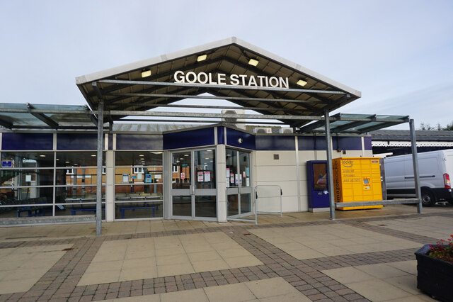
Goole benefits from good transportation links, with the M62 motorway providing easy access to major cities like Hull, Leeds, and Manchester. The town also has a railway station that connects it to destinations across the country.
Overall, Goole is a thriving town with a rich industrial heritage, offering a range of amenities and a strategic location for both business and leisure activities.
If you have any feedback on the listing, please let us know in the comments section below.
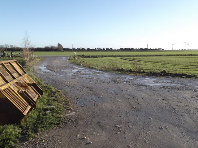
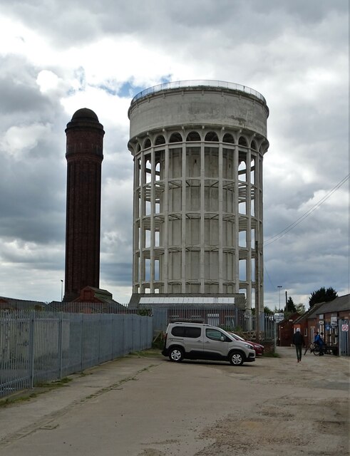
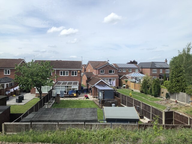
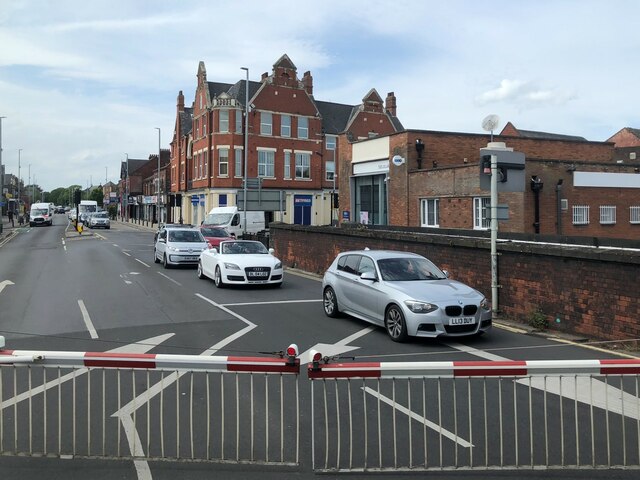
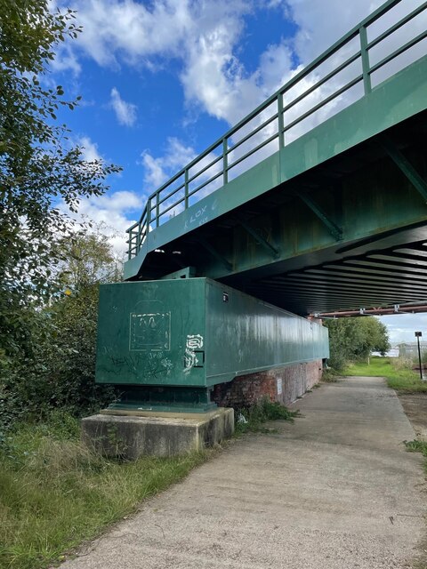
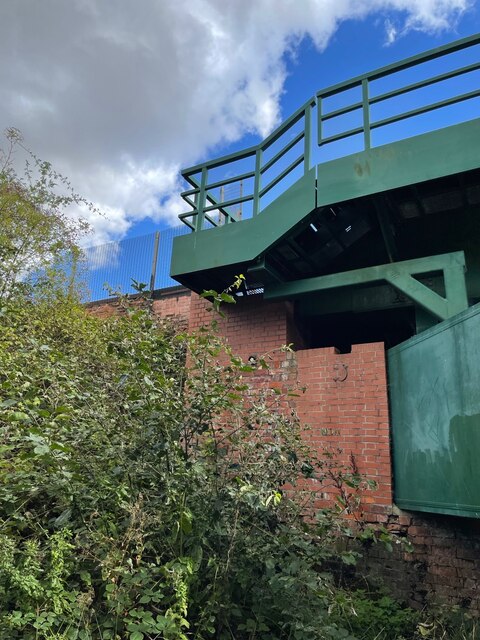
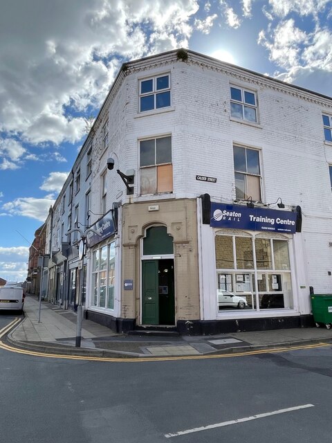
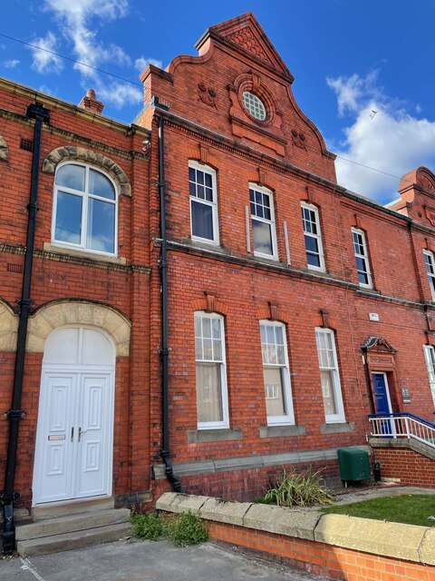
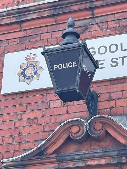
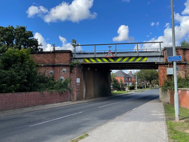
Goole Images
Images are sourced within 2km of 53.703809/-0.871285 or Grid Reference SE7423. Thanks to Geograph Open Source API. All images are credited.


Goole is located at Grid Ref: SE7423 (Lat: 53.703809, Lng: -0.871285)
Division: West Riding
Unitary Authority: East Riding of Yorkshire
Police Authority: Humberside
What 3 Words
///bump.insert.potential. Near Goole, East Yorkshire
Related Wikis

Goole (UK Parliament constituency)
Goole was a parliamentary constituency centred on the town of Goole in the West Riding of Yorkshire which returned one Member of Parliament (MP) to the...

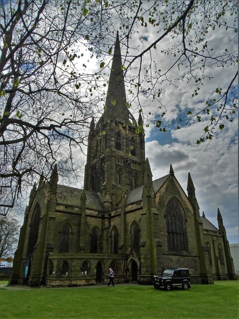
St John's Church, Goole
St John's the Evangelist Church known by the congregation as St John's Goole is an active parish church in the town of Goole, East Riding of Yorkshire...

Goole railway station
Goole railway station is a railway station in the port town of Goole on the Hull and Doncaster Branch in the East Riding of Yorkshire, England. The station...

Goole
Goole is a port town and civil parish on the River Ouse in the East Riding of Yorkshire, England. The town's historic county is the West Riding of Yorkshire...
Nearby Amenities
Located within 500m of 53.703809,-0.871285Have you been to Goole?
Leave your review of Goole below (or comments, questions and feedback).