Goodyhills

Settlement in Cumberland Allerdale

England

Goodyhills

Newtown Newtown Village from Westlands
Newtown Credit: P Gaskell

Goodyhills is a small village located in the picturesque county of Cumberland, England. Nestled within the stunning countryside, this charming settlement is known for its natural beauty, historical significance, and friendly community.

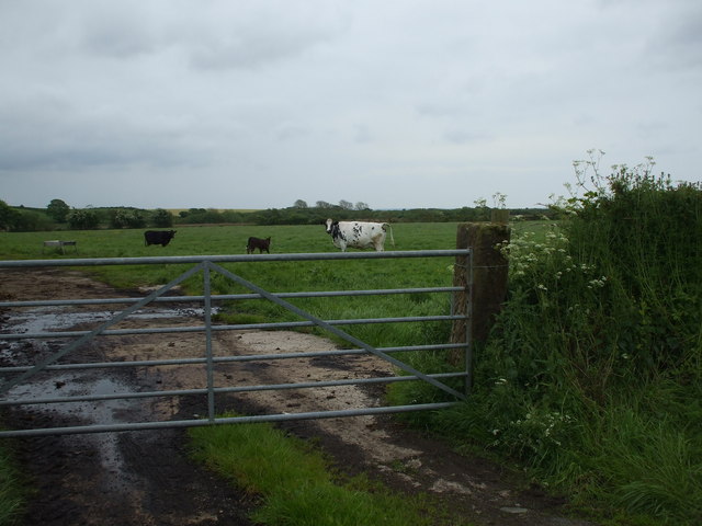
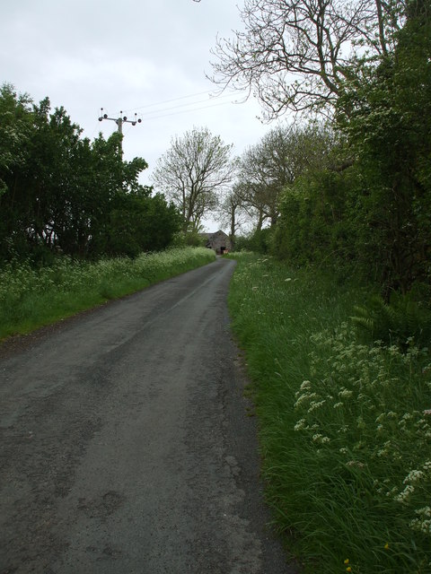
With a population of around 500 residents, Goodyhills exudes a quaint and peaceful atmosphere. The village is surrounded by rolling hills, lush green fields, and enchanting woodlands, making it an ideal destination for nature lovers and outdoor enthusiasts. The idyllic landscapes offer various walking trails, perfect for leisurely strolls or more adventurous hikes.

The history of Goodyhills can be traced back centuries, with evidence of Roman and Viking settlements in the area. The village itself has a rich heritage, boasting well-preserved historical buildings and landmarks. St. Mary's Church, a notable architectural gem, stands as a testament to the village's past. Its medieval design and beautiful stained glass windows attract visitors from far and wide.

The community of Goodyhills is known for its warm hospitality and strong sense of camaraderie. The village hosts a range of events throughout the year, including summer fairs, music festivals, and traditional country shows. These gatherings provide an opportunity for locals and visitors alike to come together and celebrate the vibrant spirit of the village.

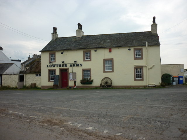
In terms of amenities, Goodyhills offers a selection of charming shops, cozy pubs, and quaint cafes. These establishments provide a welcoming atmosphere for residents and tourists to relax and enjoy the village's unique charm.

Overall, Goodyhills is a hidden gem in Cumberland, offering a serene retreat from the bustling city life. Its natural beauty, rich history, and friendly community make it a delightful destination for those seeking a peaceful countryside experience.

If you have any feedback on the listing, please let us know in the comments section below.
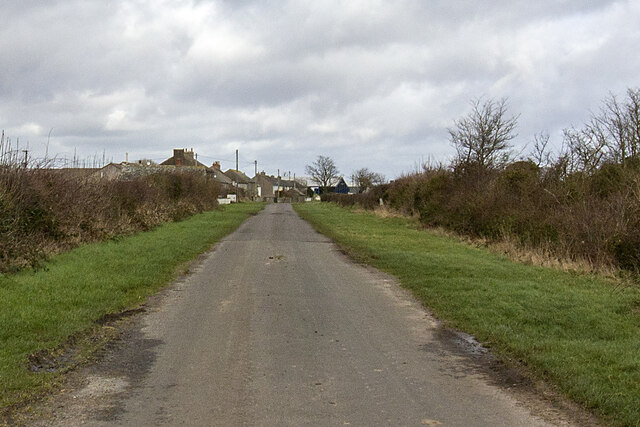
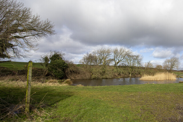
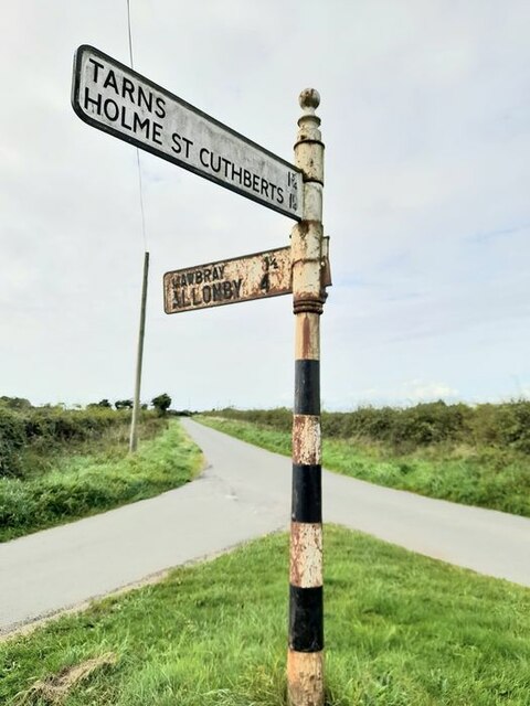
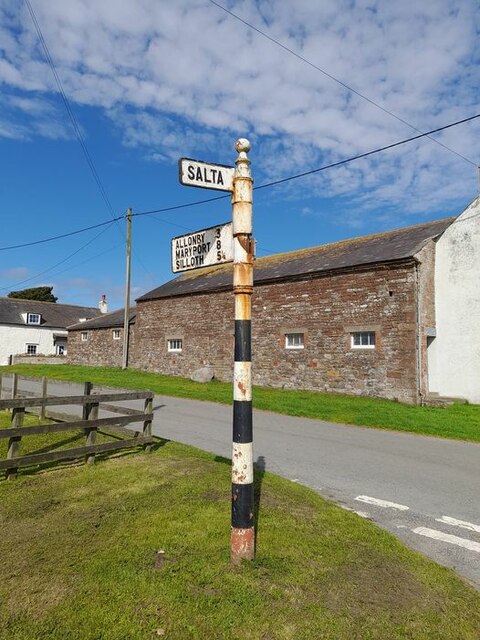
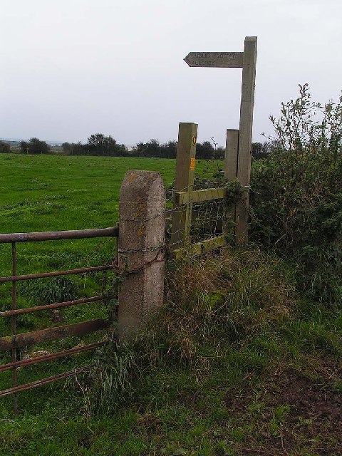
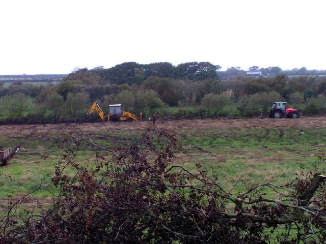
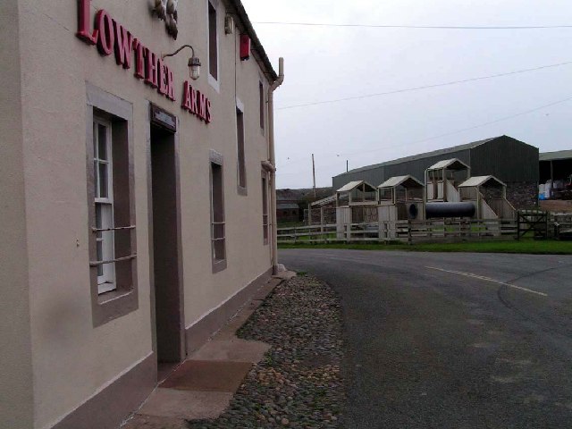
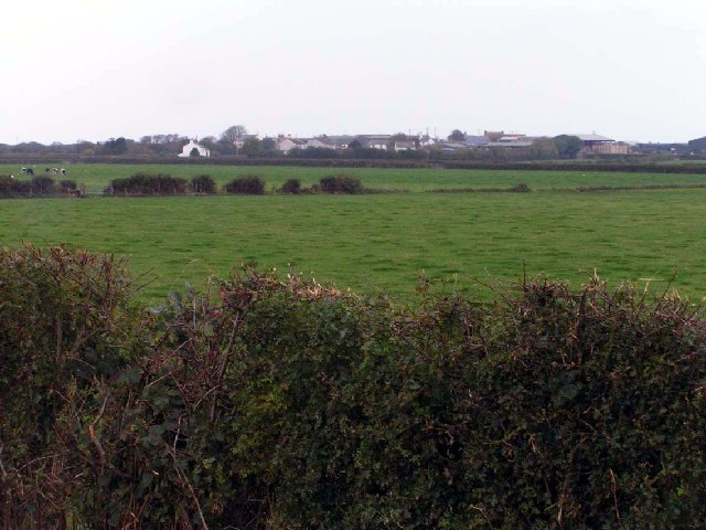
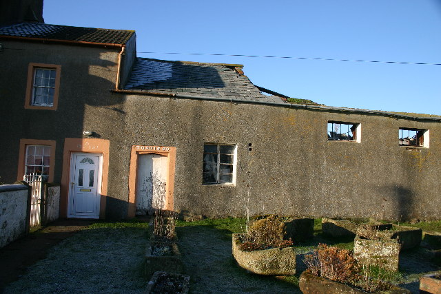
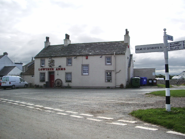
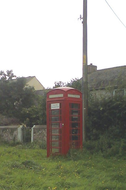
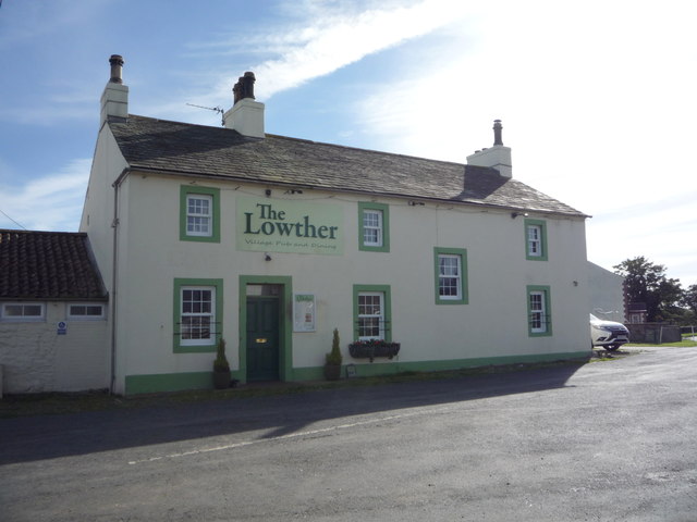
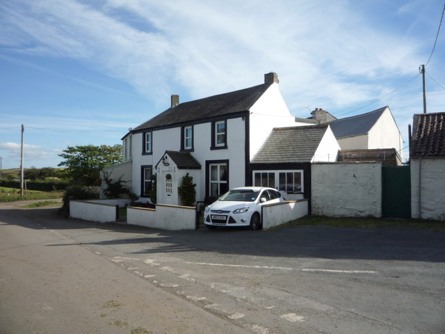
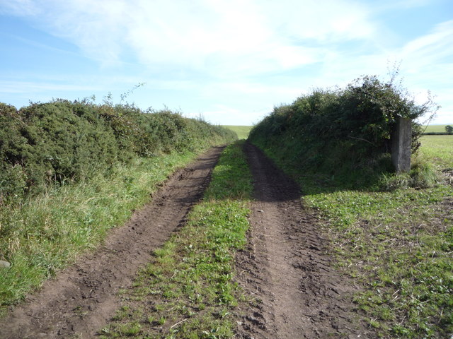
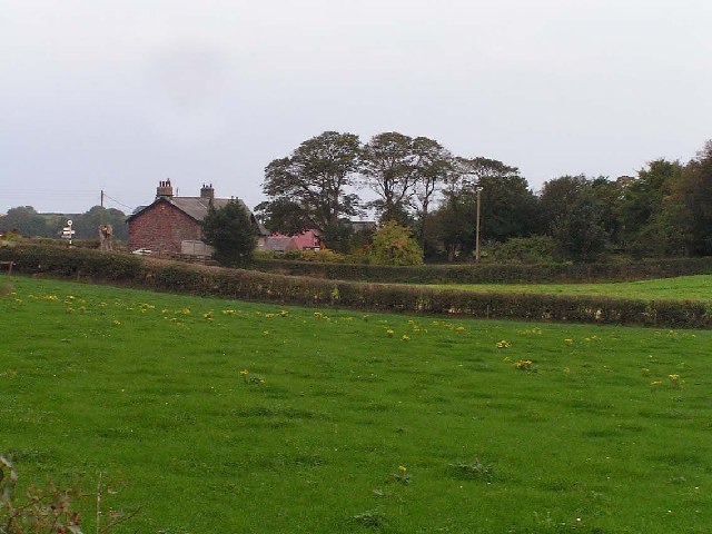
Goodyhills Images

Images are sourced within 2km of 54.807655/-3.390915 or Grid Reference NY1046. Thanks to Geograph Open Source API. All images are credited.

Newtown Newtown Village from Westlands
Newtown
Newtown Village from Westlands
Edderside village pond Footpath at Edderside
Edderside village pond
Footpath at Edderside
Direction Sign – Signpost near Newtown Located on a grass triangle on the southeast side of the junction at the south end of Newtown. Holme St. Cuthbert parish. 3 arms, 1 missing, and pawn finial. The lost arm said BECKFOOT 1¾ / SILLOTH 4½ and was lost some time after 2011.

Milestone Society National ID: CU_NY0948
Direction Sign – Signpost near Newtown
Located on a grass triangle on the southeast side of the junction at the south end of Newtown. Holme St. Cuthbert parish. 3 arms, 1 missing, and pawn finial. The lost arm said BECKFOOT 1¾ / SILLOTH 4½ and was lost some time after 2011. Milestone Society National ID: CU_NY0948
Direction Sign – Signpost at Mawbray Located in Mawbray at the east corner of the grass triangle containing a playground.  Holme St Cuthbert parish. 3 arms, 1 missing, and pawn finial. The missing arm said HOLME ST CUTHBERTS 1¼ and was lost some time after April 2011.

Milestone Society National ID: CU_NY0846A
Direction Sign – Signpost at Mawbray
Located in Mawbray at the east corner of the grass triangle containing a playground. Holme St Cuthbert parish. 3 arms, 1 missing, and pawn finial. The missing arm said HOLME ST CUTHBERTS 1¼ and was lost some time after April 2011. Milestone Society National ID: CU_NY0846A
The Lowther Arms, Mawbray
Field of cows & calves High Plasketlands
Field of cows & calves
High Plasketlands
Rural lane to Cowgate Cowgate is a rambling farm near Mawbray.
Rural lane to Cowgate
Cowgate is a rambling farm near Mawbray.
Minor road junction at Cowgate The road on the left heads towards Holme St Cuthbert and has a 7.5T weight limit on it.
Minor road junction at Cowgate
The road on the left heads towards Holme St Cuthbert and has a 7.5T weight limit on it.
Footpath near Edderside One of the few features of note in this square which consists largely of flat, rough grazing.
Footpath near Edderside
One of the few features of note in this square which consists largely of flat, rough grazing.
Ditch digging and fencing Clearing a drainage ditch on land between Holme St Cuthbert and Mawbray.
Ditch digging and fencing
Clearing a drainage ditch on land between Holme St Cuthbert and Mawbray.
Lowther Arms, Mawbray The Lowther family were instrumental in the development of West Cumbria, and many local towns have a Lowther Street or other reference to the name. In the background are two very large barns, emphasising the rural nature of the community.
Lowther Arms, Mawbray
The Lowther family were instrumental in the development of West Cumbria, and many local towns have a Lowther Street or other reference to the name. In the background are two very large barns, emphasising the rural nature of the community.
Across the fields to Mawbray The flat topography is very obvious from this shot
Across the fields to Mawbray
The flat topography is very obvious from this shot
Farmhouse ruins, Newtown, Mawbray Old dilapidated farm, currently being restored. The hamlet was previously known as New Mawbray.
Farmhouse ruins, Newtown, Mawbray
Old dilapidated farm, currently being restored. The hamlet was previously known as New Mawbray.
Lowther Arms, Mawbray
Newtown phonebox A traditional red phonebox (still in use) on the NW side of the minor road running by the hamlet of Newtown.
Newtown phonebox
A traditional red phonebox (still in use) on the NW side of the minor road running by the hamlet of Newtown.
The Lowther public house, Mawbray
House in Mawbray
House in Mawbray
Farm track east of Mawbray
Show me another place!

Goodyhills is located at Grid Ref: NY1046 (Lat: 54.807655, Lng: -3.390915)

Administrative County: Cumbria

District: Allerdale

Police Authority: Cumbria

What 3 Words

///sofas.ascendant.venues. Near Aspatria, Cumbria

Nearby Locations

Goodyhills Plasketlands

Related Wikis

Goodyhills

Goodyhills is a hamlet in the civil parish of Holme St Cuthbert, in northern Cumbria, United Kingdom. It is located 1.5 miles east of the village of Mawbray...

Plasketlands

Plasketlands is a small settlement in the civil parish of Holme St. Cuthbert in Cumbria, United Kingdom. It is located approximately a quarter-of-a-mile...

Holme St Cuthbert School

Holme St. Cuthbert School is a primary school which serves the civil parish of Holme St. Cuthbert in the county of Cumbria, United Kingdom. It is located...

Holme St Cuthbert

Holme St Cuthbert (occasionally Holme St Cuthberts; pronounced and occasionally written Holme Saint Cuthbert) is a small village and civil parish in the...

Nearby Amenities

Located within 500m of 54.807655,-3.390915
Holme St Cuthbert
Place: village
Source: npe
Wikidata: Q2747225
Wikipedia: en:Holme St Cuthbert
Lat/Long: 54.8108847/-3.3938889
Post Box
Ref: CA15 58
Lat/Long: 54.8106087/-3.3939627
Plasketlands
Place: locality
Lat/Long: 54.8047563/-3.3950417
Low Plasketlands
Place: locality
Lat/Long: 54.8053044/-3.3968693
Goodyhills
Place: locality
Lat/Long: 54.8082646/-3.3896051
Ele: 33
Natural: peak
Lat/Long: 54.8112373/-3.3895264
Power: pole
Lat/Long: 54.8064362/-3.3977079
Power: pole
Lat/Long: 54.8072144/-3.3960731
Power: pole
Lat/Long: 54.8080273/-3.3943572
Power: pole
Lat/Long: 54.8086535/-3.3930859
Power: pole
Lat/Long: 54.8093335/-3.3916483
Power: pole
Lat/Long: 54.8075963/-3.3929259
Power: pole
Lat/Long: 54.807145/-3.3914821
Power: pole
Lat/Long: 54.8069187/-3.3903978
Power: pole
Lat/Long: 54.8066541/-3.3891306
Power: pole
Lat/Long: 54.8064997/-3.3883931
Power: pole
Lat/Long: 54.8061034/-3.3865443
Power: pole
Lat/Long: 54.8059022/-3.3856095
Power: pole
Lat/Long: 54.8055682/-3.3840806
Power: pole
Lat/Long: 54.8079435/-3.3890994
Power: pole
Lat/Long: 54.807485/-3.3896852
Power: pole
Lat/Long: 54.8063572/-3.3911228
Power: pole
Lat/Long: 54.8058998/-3.3917293
Power: pole
Lat/Long: 54.8052689/-3.3925644
The data included in this document is from www.openstreetmap.org. The data is made available under ODbL.

Have you been to Goodyhills?

Leave your review of Goodyhills below (or comments, questions and feedback).