Aldam Dock
Lake, Pool, Pond, Freshwater Marsh in Yorkshire
England
Aldam Dock
Aldam Dock is a picturesque freshwater lake nestled in the heart of Yorkshire, England. Spanning over 100 acres, this natural marvel is a popular destination for nature enthusiasts and outdoor lovers. The dock's serene beauty and diverse ecosystem make it a haven for a wide variety of flora and fauna.
Surrounded by lush greenery, Aldam Dock boasts crystal-clear, pristine waters that are perfect for swimming, kayaking, and fishing. The lake is fed by several streams and springs, ensuring a constant flow of freshwater. Its depth varies throughout, with some areas reaching depths of up to 30 feet, providing a suitable habitat for various aquatic species.
The dock is home to a plethora of wildlife, both above and below the water's surface. Visitors can spot a range of bird species, including herons, ducks, and swans, as they gracefully glide across the lake. The surrounding wetlands and marshes attract a diverse array of insects, amphibians, and reptiles, creating a thriving ecosystem.
Aldam Dock offers scenic walking trails that wind their way around the lake, providing opportunities for visitors to immerse themselves in the natural beauty of the area. The tranquil ambiance, combined with the breathtaking views, makes it an ideal spot for picnicking or simply unwinding amidst nature.
Managed by local authorities, Aldam Dock ensures the preservation of its ecosystem by implementing various conservation measures. These efforts not only protect the flora and fauna but also maintain the lake's water quality, ensuring a thriving habitat for future generations to enjoy.
In conclusion, Aldam Dock is a stunning freshwater lake located in Yorkshire. With its diverse ecosystem, recreational activities, and commitment to conservation, it offers a truly enriching experience for all who visit.
If you have any feedback on the listing, please let us know in the comments section below.
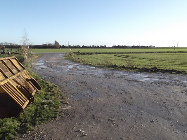
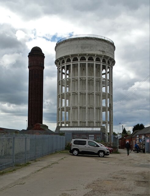
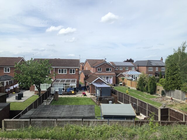
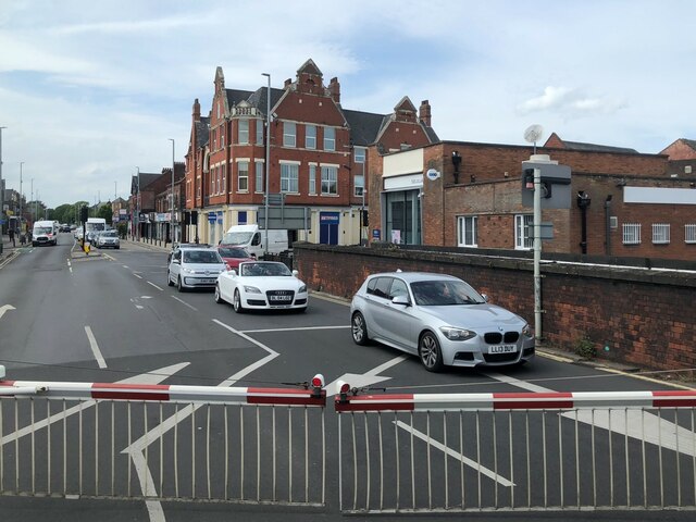
Aldam Dock Images
Images are sourced within 2km of 53.700986/-0.87153105 or Grid Reference SE7423. Thanks to Geograph Open Source API. All images are credited.


Aldam Dock is located at Grid Ref: SE7423 (Lat: 53.700986, Lng: -0.87153105)
Division: West Riding
Unitary Authority: East Riding of Yorkshire
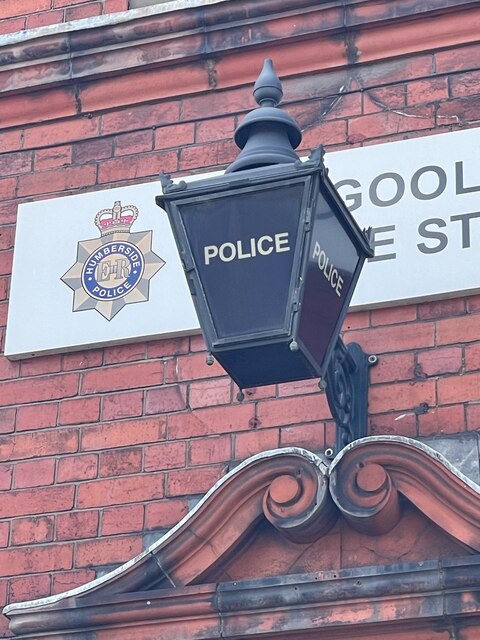
Police Authority: Humberside
What 3 Words
///transcribes.chum.pockets. Near Goole, East Yorkshire
Nearby Locations
Related Wikis

St John's Church, Goole
St John's the Evangelist Church known by the congregation as St John's Goole is an active parish church in the town of Goole, East Riding of Yorkshire...

Goole
Goole is a port town and civil parish on the River Ouse in the East Riding of Yorkshire, England. The town's historic county is the West Riding of Yorkshire...

Goole (UK Parliament constituency)
Goole was a parliamentary constituency centred on the town of Goole in the West Riding of Yorkshire which returned one Member of Parliament (MP) to the...

Port of Goole
The Port of Goole (also known as Goole Docks and The Port in Green Fields), is a maritime port at the mouth of the Aire and Calder Navigation where it...

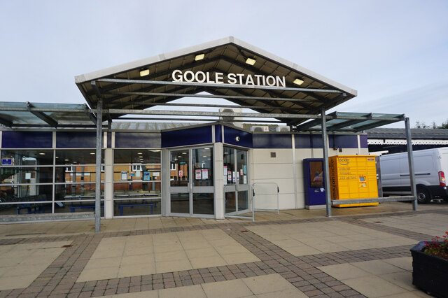
Goole railway station
Goole railway station is a railway station in the port town of Goole on the Hull and Doncaster Branch in the East Riding of Yorkshire, England. The station...

River Don, Yorkshire
The River Don (also called River Dun in some stretches) is a river in South Yorkshire and the East Riding of Yorkshire, England. It rises in the Pennines...

Boothferry (district)
The Borough of Boothferry was, from 1 April 1974 to 1 April 1996, a local government district with borough status within the non-metropolitan county of...
Goole A.F.C.
Goole Association Football Club is a semi-professional football club in Goole, East Riding of Yorkshire, England. They are currently members of the Northern...
Nearby Amenities
Located within 500m of 53.700986,-0.87153105Have you been to Aldam Dock?
Leave your review of Aldam Dock below (or comments, questions and feedback).