Llyn Llwyn Du

Lake, Pool, Pond, Freshwater Marsh in Anglesey

Wales

Llyn Llwyn Du

Tir Plas Porthamel / Land at Plas Porthamel
Tir Plas Porthamel / Land at Plas Porthamel Credit: Ceri Thomas

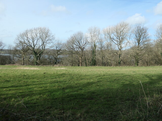
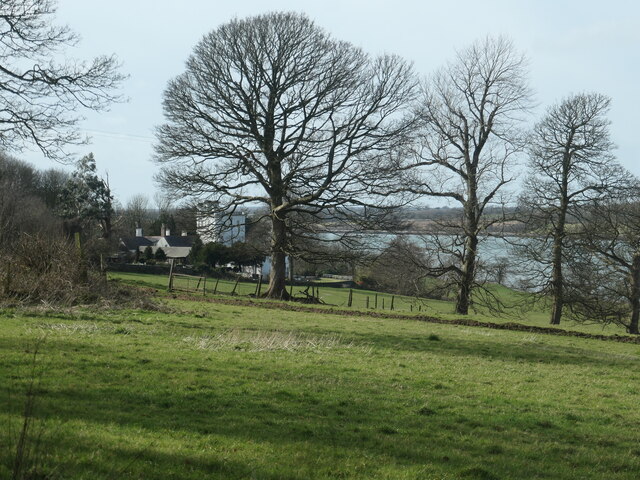
Llyn Llwyn Du is a small freshwater lake located on the Isle of Anglesey, Wales. Nestled in a peaceful and picturesque setting, the lake is surrounded by lush greenery and offers stunning views of the surrounding countryside.

With a surface area of approximately 8 acres, Llyn Llwyn Du is relatively small but provides a tranquil retreat for visitors seeking a peaceful and serene atmosphere. The lake is fed by a combination of surface runoff and underground springs, ensuring a constant supply of freshwater throughout the year.

Surrounded by a diverse range of plant life, Llyn Llwyn Du is home to various species of aquatic plants, including water lilies and reeds, which contribute to the overall beauty of the area. The lake also supports a variety of wildlife, such as ducks, swans, and other waterfowl, which can often be seen paddling along its calm waters.

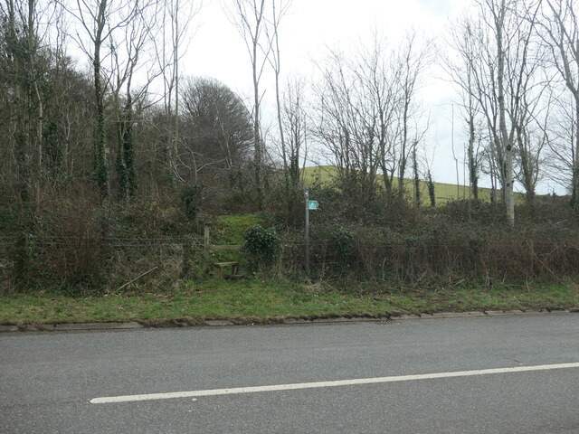
The lake is a popular destination for nature lovers and birdwatchers, offering ample opportunities for observing and photographing the local flora and fauna. Additionally, Llyn Llwyn Du provides a peaceful spot for fishing enthusiasts, with the lake known to be home to species such as perch and roach.

Overall, Llyn Llwyn Du offers a tranquil and idyllic escape from the hustle and bustle of everyday life, providing visitors with the chance to immerse themselves in the natural beauty of Anglesey's countryside.

If you have any feedback on the listing, please let us know in the comments section below.

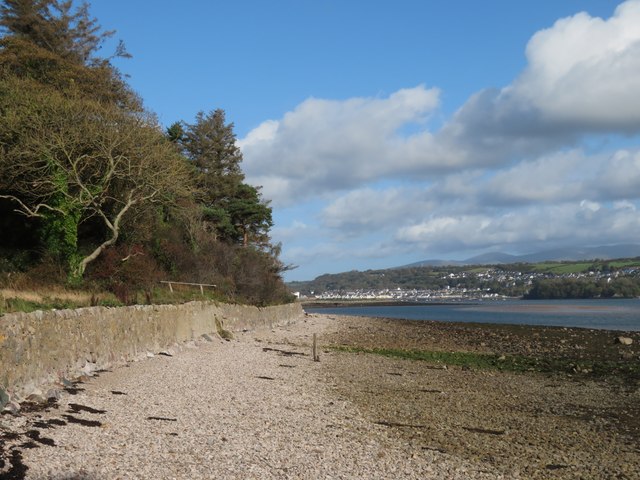
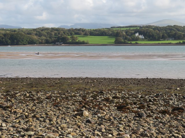
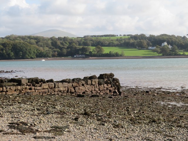
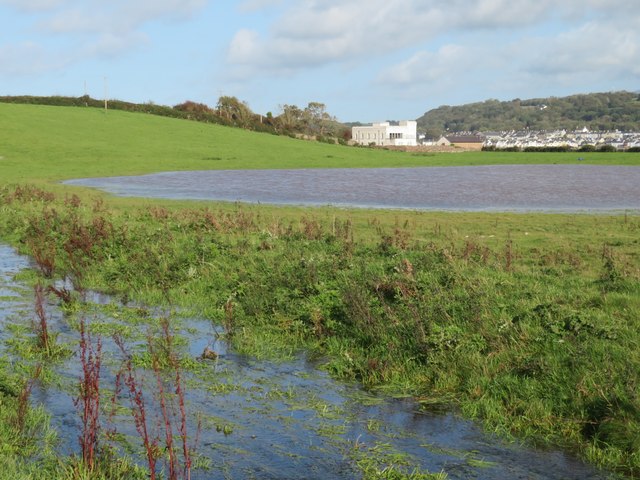
Llyn Llwyn Du Images

Images are sourced within 2km of 53.18488/-4.2496139 or Grid Reference SH4967. Thanks to Geograph Open Source API. All images are credited.

Tir Plas Porthamel / Land at Plas Porthamel
Coed ym Mhlas Coch / Trees at Plas Coch
Parking Area on the A4080 near Llanedwen The A4080 road runs for 24½ miles along the southwestern side of Anglesey. It starts on the A5 at Llanfair Pwllgwyngyll and passes through several villages before terminating on the A5 between Bryngwran and Gwalchmai.
Parking Area on the A4080 near Llanedwen
The A4080 road runs for 24½ miles along the southwestern side of Anglesey. It starts on the A5 at Llanfair Pwllgwyngyll and passes through several villages before terminating on the A5 between Bryngwran and Gwalchmai.
Lon Las Menai, near Llanfair Hall Farm The end of a short stretch along the pavement of Ffordd Caernarfon / Caernarfon Road.
Lon Las Menai, near Llanfair Hall Farm
The end of a short stretch along the pavement of Ffordd Caernarfon / Caernarfon Road.
The southern edge of Llanfair Wood Descending to the shore of the Menai Straits.
The southern edge of Llanfair Wood
Descending to the shore of the Menai Straits.
Trees along a field boundary, near Plas Llanfair Seen from Lon Las Menai.
Trees along a field boundary, near Plas Llanfair
Seen from Lon Las Menai.
Public footpath heading south-east towards Bethel On the south side of Caernarfon Road, near Llanfair Hall Farm.
Public footpath heading south-east towards Bethel
On the south side of Caernarfon Road, near Llanfair Hall Farm.
An entrance to Llanfair Hall Farm On the north side of Caernarfon Road.
An entrance to Llanfair Hall Farm
On the north side of Caernarfon Road.
Post Box at Llanedwen LL61 214. Royal Mail list this box as 'Llanedwen'.
Post Box at Llanedwen
LL61 214. Royal Mail list this box as 'Llanedwen'.
The coast path takes to the beach A surprise to find that the Anglesey Coast Path follows the shoreline of the Menai Strait for around half a mile at this point.
The coast path takes to the beach
A surprise to find that the Anglesey Coast Path follows the shoreline of the Menai Strait for around half a mile at this point.
Sandbank in Menai Strait The latest OS map, as used on the Geograph website seems to have shrunk this sandbank, which is quite extensive at low tide. The person with the sailboard collected it and then walked to the shore on this side, never going more than chest deep.
Sandbank in Menai Strait
The latest OS map, as used on the Geograph website seems to have shrunk this sandbank, which is quite extensive at low tide. The person with the sailboard collected it and then walked to the shore on this side, never going more than chest deep.
Old jetty on the Anglesey shore This might have seen use a long time ago, but now it is in a ruinous state.
Old jetty on the Anglesey shore
This might have seen use a long time ago, but now it is in a ruinous state.
Stream and pond close to the shore The stream follows an artificial course down to the shore here, whilst the pond, though quite large, appears to be unnamed. The white building in the distance looks like a cross between a power station and a fort, but is actually a house, known as Castell Gwylan, an early 19th century building which is Grade II listed.
Stream and pond close to the shore
The stream follows an artificial course down to the shore here, whilst the pond, though quite large, appears to be unnamed. The white building in the distance looks like a cross between a power station and a fort, but is actually a house, known as Castell Gwylan, an early 19th century building which is Grade II listed.
The coast path follows a lane This section of the Anglesey Coast Path heads a short way inland and follows this tarmacked lane towards Moel -y - Don, after which it is forced to turn well inland for a mile or two.
The coast path follows a lane
This section of the Anglesey Coast Path heads a short way inland and follows this tarmacked lane towards Moel -y - Don, after which it is forced to turn well inland for a mile or two.
Approaching A4080 at Cefn Cottages On road from Gaerwen
Approaching A4080 at Cefn Cottages
On road from Gaerwen
Cross roads at Cefn Cottages
The foreshore at Llanfair-Is-Gaer Next to the watersports centre at Plas Menai.
The foreshore at Llanfair-Is-Gaer
Next to the watersports centre at Plas Menai.
Foreshore at Llanfair-Is-Gaer
Show me another place!

Llyn Llwyn Du is located at Grid Ref: SH4967 (Lat: 53.18488, Lng: -4.2496139)

Unitary Authority: Isle of Anglesey

Police Authority: North Wales

What 3 Words

///discussed.handicaps.wins. Near Y Felinheli, Gwynedd

Related Wikis

Old Church of St Nidan, Llanidan

The Old Church of St Nidan, Llanidan is a medieval church in the community of Llanidan, in Anglesey, North Wales, close to the Menai Strait. The first...

St Nidan's Church, Llanidan

St Nidan's Church, Llanidan is a 19th-century parish church near the village of Brynsiencyn, in Anglesey, north Wales. Built between 1839 and 1843, it...

Menai Strait

The Menai Strait (Welsh: Afon Menai, the "river Menai") is a narrow stretch of shallow tidal water about 25 km (16 mi) long, which separates the island...

Llanedwen

Llanedwen is a village in the community of Llanddaniel Fab, Anglesey, Wales, which is 126.5 miles (203.6 km) from Cardiff and 208.8 miles (336 km) from...

Llanidan

Llanidan is a community in the south of Anglesey, Wales which includes the village of Brynsiencyn (). The parish is along the Menai Strait, about 4 miles...

Llanfair-is-gaer

Llanfair-is-gaer was an ecclesiastical parish in Caernarfon, Gwynedd: the parish church was St Mary's. == References ==

Perthi-Duon Burial Chamber

Perthi-Duon Burial Chamber is a Neolithic dolmen located to the west of Brynsiencyn, Anglesey, Wales. == Description == The monument is a collapsed burial...

Griffith's Crossing railway station

Griffith's Crossing railway station was a former railway station located on the Bangor and Carnarvon Railway about a mile and a half south west of Port...

Nearby Amenities

Located within 500m of 53.18488,-4.2496139
Barrier: stile
Lat/Long: 53.1849991/-4.2454185
Power: pole
Lat/Long: 53.1812157/-4.2496182
Power: pole
Lat/Long: 53.1819712/-4.2506079
Power: pole
Lat/Long: 53.1828094/-4.2511699
Power: pole
Lat/Long: 53.1837384/-4.2518029
Power: pole
Lat/Long: 53.184477/-4.2530648
Power: pole
Lat/Long: 53.1850267/-4.2539138
Power: pole
Lat/Long: 53.1857692/-4.2551462
The data included in this document is from www.openstreetmap.org. The data is made available under ODbL.

Have you been to Llyn Llwyn Du?

Leave your review of Llyn Llwyn Du below (or comments, questions and feedback).