Golders Green

Settlement in Middlesex

England

Golders Green

New Year Fireworks at Central Square, Hampstead Garden Suburb
New Year Fireworks at Central Square, Hampstead Garden Suburb Credit: David Howard

Golders Green is a suburban area located in the London Borough of Barnet, Middlesex, England. Situated in northwest London, it is approximately 5.3 miles (8.5 kilometers) north-west of Charing Cross. With a rich history dating back to the early 20th century, Golders Green has evolved into a diverse and vibrant community.

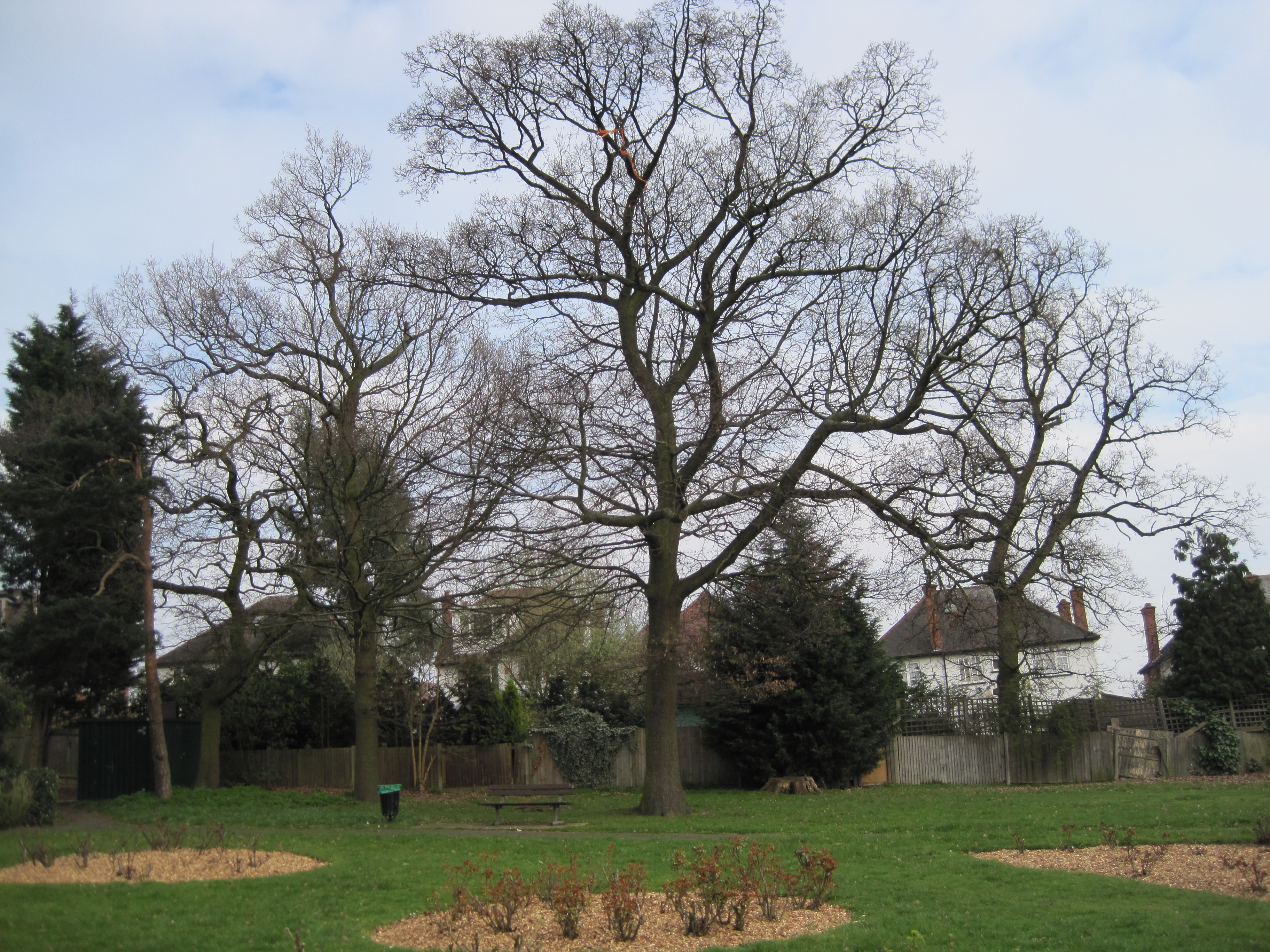
One of the defining features of Golders Green is its prominent Jewish population. The area is known for its Jewish cultural institutions, including synagogues, kosher shops, and restaurants, making it a hub for Jewish life in London. Additionally, Golders Green is home to the Golders Hill Park, a beautiful public park that offers serene green spaces, a zoo, and a butterfly house.

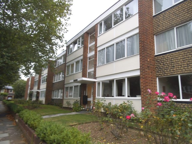
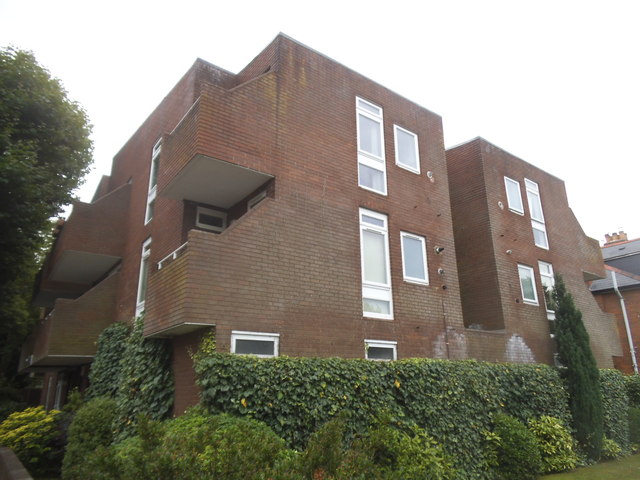
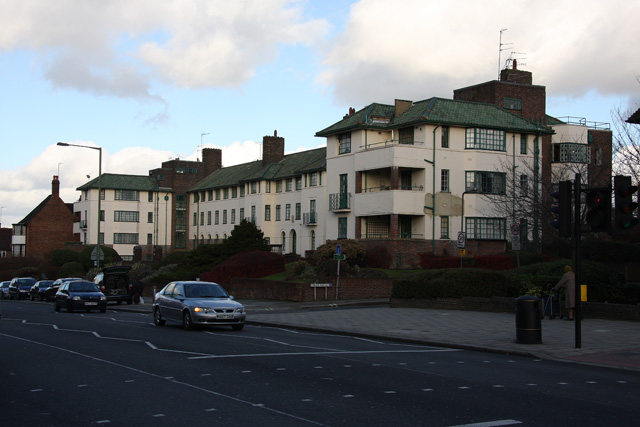
The architecture in Golders Green is predominantly Edwardian and Victorian, with a mix of detached and semi-detached houses, as well as some apartment complexes. The area also boasts a variety of amenities, such as shops, cafes, and supermarkets, providing residents with easy access to everyday necessities.

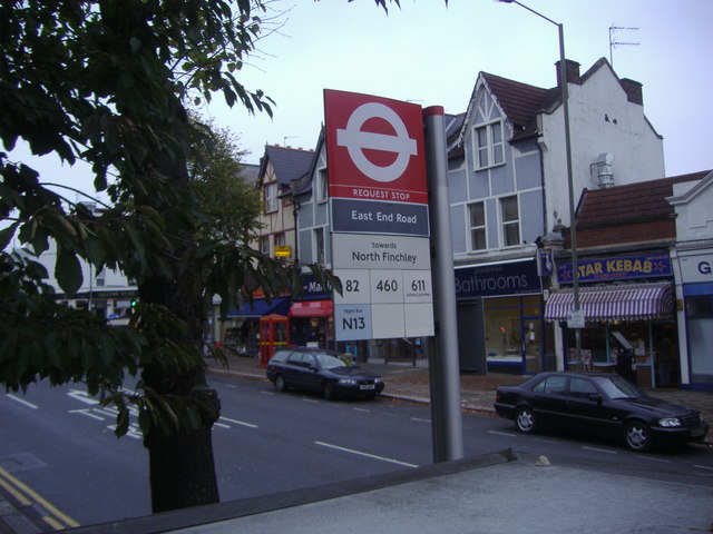
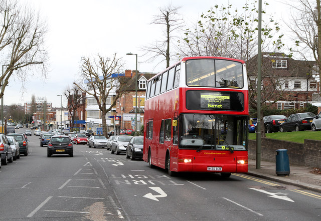
Transportation links in Golders Green are excellent, with the Golders Green tube station serving as a major hub for the London Underground's Northern line. Several bus routes also connect the area to other parts of London.

Golders Green has a strong sense of community, with various local events and festivals taking place throughout the year. The area's diverse population, coupled with its vibrant cultural offerings, makes Golders Green a desirable place to live for individuals and families alike.

If you have any feedback on the listing, please let us know in the comments section below.

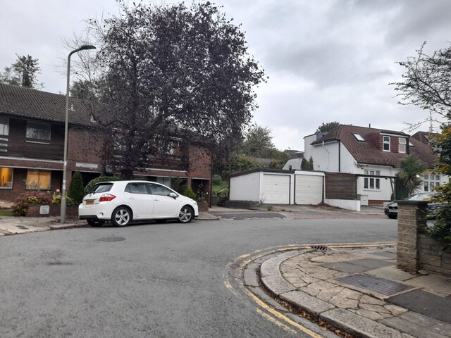
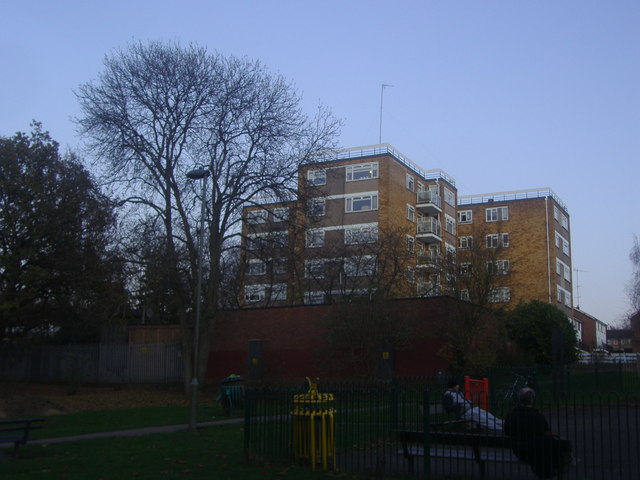
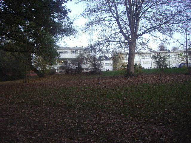
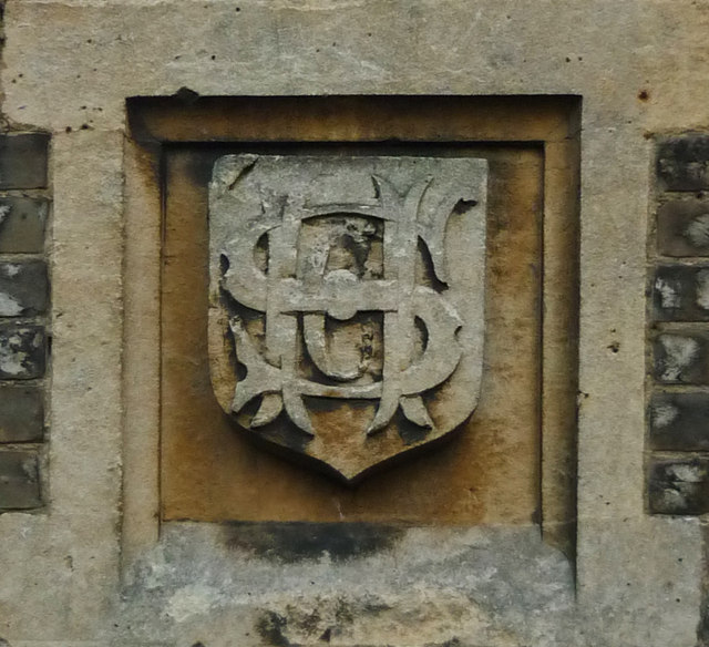
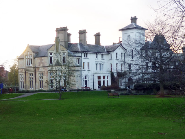
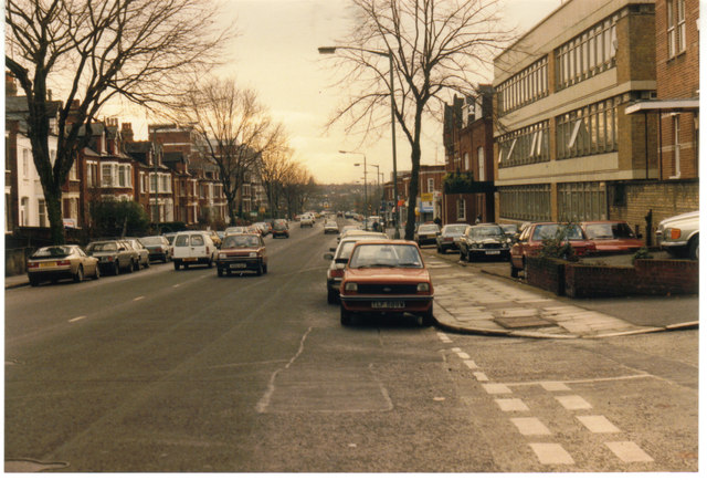
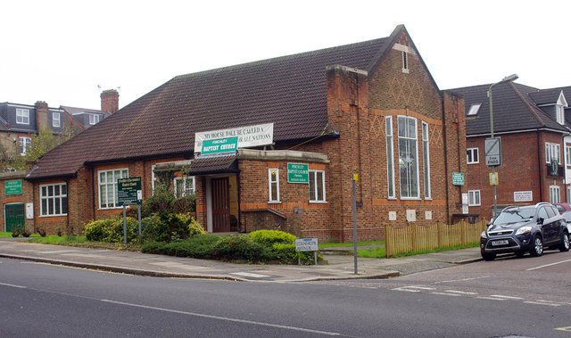
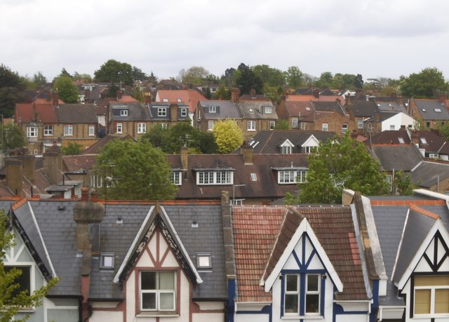
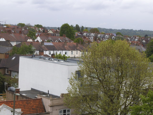
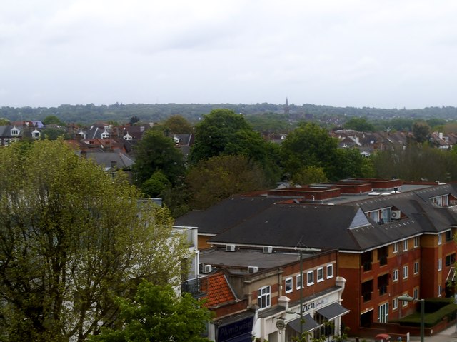
Golders Green Images

Images are sourced within 2km of 51.579713/-0.200997 or Grid Reference TQ2488. Thanks to Geograph Open Source API. All images are credited.

New Year Fireworks at Central Square, Hampstead Garden Suburb
Regency Lodge forecourt, Finchley On Regents Park Road
Regency Lodge forecourt, Finchley
On Regents Park Road
East End Road, Finchley
North Crescent, Finchley
Bus stop on Regents Park Road
Flats on Wickliffe Avenue from Windsor open space
Flats on Broughton Avenue from Windsor open space
Stephens family monogram, Avenue House, Finchley The home of Stephens family of the Stephens Ink Company. More at this <span class="nowrap"><a title="http://www.avenuehouse.org.uk/avenue.php" rel="nofollow ugc noopener" href="http://www.avenuehouse.org.uk/avenue.php">Link</a><img style="margin-left:2px;" alt="External link" title="External link - shift click to open in new window" src="https://s1.geograph.org.uk/img/external.png" width="10" height="10"/></span>
Stephens family monogram, Avenue House, Finchley
The home of Stephens family of the Stephens Ink Company. More at this LinkExternal link
Avenue House, East End Road, Finchley The former home of Henry Charles Stephens, now an events venue with a museum space devoted to the history of the Stephens Ink Company. A Grade II listed building described at this <span class="nowrap"><a title="http://www.britishlistedbuildings.co.uk/en-475481-avenue-house-finchley" rel="nofollow ugc noopener" href="http://www.britishlistedbuildings.co.uk/en-475481-avenue-house-finchley">Link</a><img style="margin-left:2px;" alt="External link" title="External link - shift click to open in new window" src="https://s1.geograph.org.uk/img/external.png" width="10" height="10"/></span>
Avenue House, East End Road, Finchley
The former home of Henry Charles Stephens, now an events venue with a museum space devoted to the history of the Stephens Ink Company. A Grade II listed building described at this LinkExternal link
Regents Park Road Looking down the hill from the junction with Gravel Hill and East End Road.  Leading the procession of traffic is Sullivan Buses VPL119, a Plaxton President bodied Volvo B7TL.  The bus is operating a rail replacement service for engineering works on the Northern Line which saw the Barnet and Mill Hill East branches of the network closed from Christmas Day until December 30th for upgrade work.  Three routes were operated - this is route A which connected High Barnet with Golders Green station.  The other routes were operated by Metroline; Route B followed the Barnet branch connecting with all stations to Camden Town with the exception of West Finchley (low trees prevent double deck operation along Nether Street) and Route C which connected Finchley Central to Mill Hill East.
Regents Park Road
Looking down the hill from the junction with Gravel Hill and East End Road. Leading the procession of traffic is Sullivan Buses VPL119, a Plaxton President bodied Volvo B7TL. The bus is operating a rail replacement service for engineering works on the Northern Line which saw the Barnet and Mill Hill East branches of the network closed from Christmas Day until December 30th for upgrade work. Three routes were operated - this is route A which connected High Barnet with Golders Green station. The other routes were operated by Metroline; Route B followed the Barnet branch connecting with all stations to Camden Town with the exception of West Finchley (low trees prevent double deck operation along Nether Street) and Route C which connected Finchley Central to Mill Hill East.
Regents Park Road in 1985
Finchley Baptist Church
Roofs on Regents Park Road and beyond Looking towards Templars Crescent behind the main road
Roofs on Regents Park Road and beyond
Looking towards Templars Crescent behind the main road
View from Regents Park Road, Finchley Taken from the fourth floor, you can see towards Hampstead Heath behind the buildings.
View from Regents Park Road, Finchley
Taken from the fourth floor, you can see towards Hampstead Heath behind the buildings.
View from Finchley to Hampstead St Jude's Church spire is ahead in Hampstead Garden Suburb, with Hampstead Heath beyond.
View from Finchley to Hampstead
St Jude's Church spire is ahead in Hampstead Garden Suburb, with Hampstead Heath beyond.
Flats on Salisbury Avenue, Finchley
Flats on Cyprus Road, Finchley
Show me another place!

Golders Green is located at Grid Ref: TQ2488 (Lat: 51.579713, Lng: -0.200997)

Unitary Authority: Barnet

Police Authority: Metropolitan

What 3 Words

///thank.blur.shock. Near Hendon, London

Nearby Locations

Golders Green The Decoy

Related Wikis

North Western Reform Synagogue

North Western Reform Synagogue (usually known as Alyth, although Alyth is strictly speaking the name of the Jewish community that was founded in 1933;...

Temple Fortune

Temple Fortune is a place in the London Borough of Barnet to the north of Golders Green. It is principally a shopping district used by residents of the...

Princes Park, Temple Fortune

Princes Park is a small public park and Site of Local Importance for Nature Conservation in Temple Fortune in the London Borough of Barnet. == History... ==

Ohel David Eastern Synagogue

The Ohel David Eastern Synagogue is a Sephardi Orthodox synagogue based in Golders Green in the London Borough of Barnet. Its members include Sephardi...

Nearby Amenities

Located within 500m of 51.579713,-0.200997
Created By: YahooApplet 1.0
Lat/Long: 51.5771276/-0.2021829
Bus Stop
Clifton Gardens
Local Ref: TH
Naptan AtcoCode: 490005421N
Naptan Bearing: N
Naptan CommonName: Clifton Gardens Finchley Rd
Naptan Indicator: Stop TH
Naptan Street: FINCHLEY ROAD
Naptan Verified: no
Public Transport: platform
Lat/Long: 51.5794758/-0.1981788
Bus Stop
Clifton Gardens
Local Ref: TF
Naptan AtcoCode: 490005421S
Naptan Bearing: S
Naptan CommonName: Clifton Gardens Finchley Rd
Naptan Indicator: Stop TF
Naptan Street: FINCHLEY ROAD
Naptan Verified: no
Public Transport: platform
Lat/Long: 51.5802988/-0.1983133
Bus Stop
Hoop Lane
Naptan AtcoCode: 490008343S
Naptan Bearing: S
Naptan CommonName: Hoop Lane
Naptan Street: FINCHLEY ROAD
Naptan Verified: yes
Public Transport: platform
Shelter: no
Lat/Long: 51.5765707/-0.1968132
Bus Stop
Highfield Avenue
Local Ref: P
Naptan AtcoCode: 490008152S
Naptan Bearing: E
Naptan CommonName: Highfield Avenue (NW11)
Naptan Indicator: Stop P
Naptan Verified: no
Public Transport: platform
Ref: 49797
Lat/Long: 51.5785392/-0.2078366
Bus Stop
Limes Avenue
Bench: yes
Bin: yes
Bus: yes
Local Ref: C
Naptan AtcoCode: 490008152W
Naptan NaptanCode: 76737
Public Transport: platform
Ref: 76737
Shelter: yes
Wheelchair: yes
Lat/Long: 51.5773588/-0.2066977
Bus Stop
Temple Fortune Lane
Bus: yes
Local Ref: TJ
Naptan AtcoCode: 490013192N
Naptan Bearing: N
Naptan CommonName: Temple Fortune Lane
Naptan Indicator: Stop TJ
Naptan Street: FINCHLEY ROAD
Naptan Verified: no
Public Transport: platform
Ref: 49689
Shelter: yes
Source Ref: naptan
Tactile Paving: no
Lat/Long: 51.5831055/-0.1996668
Bus Stop
Temple Fortune Lane
Bench: yes
Bin: no
Lit: yes
Local Ref: TE
Naptan AtcoCode: 490013192S
Naptan Bearing: S
Naptan CommonName: Temple Fortune Lane
Naptan Indicator: Stop TE
Naptan Street: FINCHLEY ROAD
Naptan Verified: no
Public Transport: platform
Shelter: yes
Lat/Long: 51.5815596/-0.1988029
Bus Stop
Woodstock Avenue
Bench: yes
Bin: yes
Bus: yes
Local Ref: R
Naptan AtcoCode: 490014904E
Naptan Bearing: E
Naptan CommonName: Woodstock Avenue
Naptan Indicator: Stop R
Naptan Verified: no
Public Transport: platform
Ref: 50660
Shelter: yes
Wheelchair: yes
Lat/Long: 51.575991/-0.2044151
Temple Fortune
Name Hi: टेम्पल फ़ॉर्ट्यून
Place: suburb
Wikidata: Q149673
Wikipedia: en:Temple Fortune
Lat/Long: 51.5819126/-0.1990538
Ref GB Tflcid: RWG287314
Traffic Calming: hump
Lat/Long: 51.5806065/-0.2078478
Place Of Worship
North Western Reform Synagogue
Building: synagogue
Denomination: reform
Religion: jewish
Wikidata: Q7057363
Wikipedia: en:North Western Reform Synagogue
Lat/Long: 51.5793901/-0.1963299
Post Box
Operator: Royal Mail
Operator Wikidata: Q638098
Ref: NW11 21
Lat/Long: 51.5769505/-0.1983995
Post Box
Brand: Royal Mail
Brand Wikidata: Q638098
Brand Wikipedia: en:Royal Mail
Operator: Royal Mail
Operator Wikidata: Q638098
Ref: NW11 36
Lat/Long: 51.5805778/-0.1964485
Post Box
Brand: Royal Mail
Brand Wikidata: Q638098
Brand Wikipedia: en:Royal Mail
Check Date: 2024-04-06
Collection Plate: CP1D
Collection Times: Mo-Fr 09:00; Sa 07:00
Colour: red
Operator: Royal Mail
Operator Wikidata: Q638098
Post Box Apertures: 1
Post Box Type: pillar
Ref: NW11 7D
Royal Cypher: EVIIR
Royal Cypher Wikidata: Q33102324
Wikimedia Commons: Category:United Kingdom post box NW11 7D
Lat/Long: 51.5833275/-0.1997607
Post Box
Brand: Royal Mail
Brand Wikidata: Q638098
Brand Wikipedia: en:Royal Mail
Operator: Royal Mail
Operator Wikidata: Q638098
Post Box Type: pillar
Ref: NW11 22
Lat/Long: 51.5824088/-0.1966245
Post Box
Brand: Royal Mail
Brand Wikidata: Q638098
Brand Wikipedia: en:Royal Mail
Check Date: 2024-04-06
Collection Plate: CP1D
Collection Times: Mo-Fr 09:00; Sa 07:00
Colour: red
Operator: Royal Mail
Operator Wikidata: Q638098
Post Box Apertures: 1
Post Box Type: pillar
Ref: NW11 2D
Royal Cypher: EIIR
Royal Cypher Wikidata: Q33102113
Wikimedia Commons: Category:United Kingdom post box NW11 2D
Lat/Long: 51.5801877/-0.1991672
Post Box
Brand: Royal Mail
Brand Wikidata: Q638098
Brand Wikipedia: en:Royal Mail
Collection Times: Mo-Fr 16:30; Sa 10:30
Drive Through: no
Operator: Royal Mail
Operator Wikidata: Q638098
Post Box Type: pillar
Ref: NW11 24
Royal Cypher: EVIIR
Royal Cypher Wikidata: Q33102324
Lat/Long: 51.5756778/-0.2041859
Post Box
Brand: Royal Mail
Brand Wikidata: Q638098
Collection Times: Mo-Fr 16:30, Sa 10:30
Operator: Royal Mail
Operator Wikidata: Q638098
Post Box Type: pillar
Ref: NW11 26
Royal Cypher: GR
Royal Cypher Wikidata: Q33102273
Lat/Long: 51.5777417/-0.2070121
Nursery
Golders Green Day Nursery
Lat/Long: 51.5770669/-0.2057909
Dentist
Golders Green Dental Care
Lat/Long: 51.5764783/-0.2050076
Doctors
The Practice @ 188
Wheelchair: no
Lat/Long: 51.5763455/-0.2048047
Woodstock Avenue
Bus: yes
Local Ref: R
Public Transport: stop_position
Lat/Long: 51.5759523/-0.2044947
The Really Good Whisky Company
Addr City: London
Addr Housenumber: 802-808
Addr Postcode: NW11 6XL
Addr Street: Finchley Road
Description: Former branch of Barclays
Office: company
Website: https://reallygoodwhisky.com/
Lat/Long: 51.5827384/-0.1992402
Highfield Avenue
Bus: yes
Local Ref: P
Public Transport: stop_position
Lat/Long: 51.5784976/-0.2079151
Limes Avenue
Bus: yes
Local Ref: C
Public Transport: stop_position
Lat/Long: 51.5773955/-0.2066136
Car Wash
Lat/Long: 51.5795001/-0.1987384
Crossing
Button Operated: yes
Crossing: traffic_signals
Kerb: lowered
Tactile Paving: no
Traffic Signals Sound: yes
Lat/Long: 51.5828212/-0.1994574
Addr City: London
Addr Housenumber: 4
Addr Postcode: NW11 0PY
Addr Street: Saffron Close
Lat/Long: 51.5811216/-0.2002037
Restaurant
Baran Ocak Bashi
Cuisine: turkish
Lat/Long: 51.5804798/-0.1983486
Restaurant
Orkideh
Cuisine: persian
Lat/Long: 51.5805075/-0.1983595
Kosher Kingdom
Diet Kosher: only
Phone: +44 20 8455 1429
Shop: supermarket
Lat/Long: 51.5780594/-0.2071754
Boots
Addr City: London
Addr Housenumber: 21
Addr Postcode: NW11 0QS
Addr Street: Temple Fortune Parade, Finchley Road
Branch: London Golders Green Temple Fortune Parade
Brand: Boots
Brand Wikidata: Q6123139
Brand Wikipedia: en:Boots (company)
Contact Phone: +44 20 8455 2262
Contact Website: http://www.boots.com/stores/815-london-temple-fortune-nw11-0qs
Fhrs Id: 757437
Fhrs Local Authority Id: CP/18889
Level: 0
Operator: Boots UK Limited
Ref: 815
Shop: chemist
Source: gps;local knowledge
Source Addr: FHRS Open Data
Lat/Long: 51.5829183/-0.1997119
Barrier: bollard
Bollard: fixed
Material: concrete
Motor Vehicle: no
Lat/Long: 51.5760901/-0.196821
central hotel
Tourism: apartment
Lat/Long: 51.5758646/-0.197276
Dukla Czech & Slovak Groceries
Opening Hours: Mo-Sa 10:00-20:00; Su 11:00-18:00
Phone: +44 20 8458 1175
Shop: convenience
Lat/Long: 51.5786931/-0.2078438
Crossing
Crossing: traffic_signals
Crossing Island: yes
Crossing Markings: dashes
Tactile Paving: yes
Traffic Signals Sound: walk
Lat/Long: 51.5780677/-0.2075183
Telephone
Booth: K6
Covered: booth
Listed Status: Grade II
Lat/Long: 51.5828383/-0.1968406
Bench
Lat/Long: 51.5830181/-0.1972366
Bench
Lat/Long: 51.5824227/-0.1964679
WHSmith
Brand: WHSmith
Brand Wikidata: Q1548712
Brand Wikipedia: en:WHSmith
Shop: newsagent
Lat/Long: 51.5829932/-0.1997418
Oxfam
Addr City: London
Addr Housenumber: 1049
Addr Postcode: NW11 7ES
Addr Street: Finchley Road
Brand: Oxfam
Brand Wikidata: Q267941
Brand Wikipedia: en:Oxfam
Contact Website: https://www.oxfam.org.uk/shops/oxfam-shop-temple-fortune/
Shop: charity
Lat/Long: 51.5800078/-0.1985049
Grodz
Diet Kosher: only
Shop: bakery
Lat/Long: 51.5777548/-0.2074414
Pharmacy
Westlake Pharmacy
Addr Housenumber: 1015
Addr Street: Finchley Road
Check Date: 2022-06-11
Healthcare: pharmacy
Lat/Long: 51.5791303/-0.1981679
Grays Tyres & Exhausts
Addr Housenumber: 1013
Addr Street: Finchley Road
Check Date: 2022-06-11
Phone: +44 20 8455 1141
Shop: tyres
Lat/Long: 51.5790924/-0.1981452
Mori & Guy
Addr Housenumber: 1017
Addr Street: Finchley Road
Check Date: 2022-06-11
Shop: hairdresser
Lat/Long: 51.5791767/-0.1981919
Crossing
Crossing: marked
Crossing Island: yes
Tactile Paving: yes
Lat/Long: 51.5798193/-0.1982131
Bicycle Parking
Bicycle Parking: stands
Bicycle Parking Stands: m_stand
Capacity: 4
Ref GB Tflcid: RWG281203
Lat/Long: 51.5834514/-0.1995856
Bicycle Parking
Bicycle Parking: stands
Capacity: 6
Ref GB Tflcid: RWG281205
Lat/Long: 51.5840805/-0.1999921
Bicycle Parking
Bicycle Parking: stands
Capacity: 2
Ref GB Tflcid: RWG281343
Lat/Long: 51.5800119/-0.1983662
Bicycle Parking
Bicycle Parking: stands
Capacity: 2
Ref GB Tflcid: RWG281345
Lat/Long: 51.5818531/-0.1991171
Bicycle Parking
Bicycle Parking: stands
Capacity: 4
Ref GB Tflcid: RWG281344
Lat/Long: 51.5804458/-0.1985488
Bicycle Parking
Bicycle Parking: stands
Bicycle Parking Stands: m_stand
Capacity: 4
Ref GB Tflcid: RWG281204
Lat/Long: 51.5831949/-0.1994875
Bicycle Parking
Bicycle Parking: stands
Capacity: 4
Ref GB Tflcid: RWG281207
Lat/Long: 51.5822138/-0.1994531
Bicycle Parking
Bicycle Parking: stands
Capacity: 4
Ref GB Tflcid: RWG281208
Lat/Long: 51.5821848/-0.1993251
Bicycle Parking
Bicycle Parking: stands
Capacity: 4
Ref GB Tflcid: RWG281978
Lat/Long: 51.5792261/-0.1980501
Bicycle Parking
Capacity: 10
Covered: yes
Ref GB Tflcid: RWG281427
Lat/Long: 51.5759323/-0.2049042
Bicycle Parking
Bicycle Parking: stands
Capacity: 4
Ref GB Tflcid: RWG281425
Lat/Long: 51.5783026/-0.2075226
Bicycle Parking
Bicycle Parking: stands
Capacity: 4
Ref GB Tflcid: RWG281426
Lat/Long: 51.5783474/-0.2078359
Ref GB Tflcid: RWG287315
Traffic Calming: hump
Lat/Long: 51.5811066/-0.2075955
Carmel Court
Building: apartments
Building Levels: 3
Lat/Long: 51.5762126/-0.203754
Croft Court Hotel
Tourism: hotel
Lat/Long: 51.5759182/-0.2014161
Shefa Mehadrin
Diet Kosher: only
Shop: butcher
Lat/Long: 51.5778185/-0.2074986
Pharmacy
Victoria Pharmacy
Shop: chemist
Lat/Long: 51.5779343/-0.2076372
Place Of Worship
Machzike Hadath
Religion: jewish
Website: https://www.machzikehadath.com/
Lat/Long: 51.5794589/-0.207736
Fast Food
Taboon
Cuisine: falafel
Diet Kosher: only
Drive Through: no
Lat/Long: 51.5785955/-0.2077403
Torah Treasures
Denomination: orthodox
Religion: jewish
Shop: religion
Lat/Long: 51.5786186/-0.2078052
Menachems
Diet Kosher: only
Shop: butcher
Lat/Long: 51.5785137/-0.2076416
Gross Butcher
Diet Kosher: only
Shop: butcher
Lat/Long: 51.5779629/-0.2071425
Leons
Shop: greengrocer
Lat/Long: 51.5779355/-0.2070752
Amors
Diet Kosher: only
Shop: deli
Lat/Long: 51.5786148/-0.2080045
FAME
Office: employment_agency
Lat/Long: 51.578317/-0.207471
Good for You
Shop: variety_store
Lat/Long: 51.5778599/-0.2075657
Crossing
Crossing: marked
Crossing Island: yes
Crossing Markings: yes
Crossing Ref: zebra
Lat/Long: 51.5756241/-0.2039871
Car Wash
Mint Green
Automated: no
Self Service: no
Lat/Long: 51.5821732/-0.1999654
Shutlers
Shop: houseware
Lat/Long: 51.5826265/-0.19995
Daniel Goodman
Shop: dry_cleaning
Lat/Long: 51.5826649/-0.2000158
Creme de la Creme
Diet Kosher: only
Shop: pastry
Lat/Long: 51.5827262/-0.2001165
Bude Nathan Iwanier
Office: lawyer
Lat/Long: 51.5828105/-0.2002491
Disused Amenity: cafe
Lat/Long: 51.5815241/-0.2059135
Disused Amenity: toilets
Lat/Long: 51.5815525/-0.2058909
Place Of Worship
Ohel Moshe
Denomination: orthodox
Religion: jewish
Lat/Long: 51.5807176/-0.205757
Tudor Green
Shop: florist
Lat/Long: 51.5782171/-0.2073888
Coco Bakery
Diet Kosher: only
Not Brand Wikidata: Q65084369
Shop: bakery
Lat/Long: 51.5782728/-0.2074386
Dynasty
Clothes: children
Shop: clothes
Lat/Long: 51.5777627/-0.2068554
Parking
Access: private
Lat/Long: 51.5814076/-0.1996014
The data included in this document is from www.openstreetmap.org. The data is made available under ODbL.

Have you been to Golders Green?

Leave your review of Golders Green below (or comments, questions and feedback).