Goldfinch Bottom
Settlement in Berkshire
England
Goldfinch Bottom
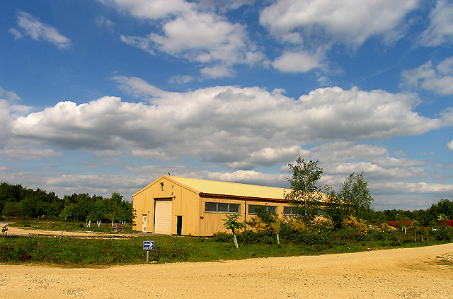
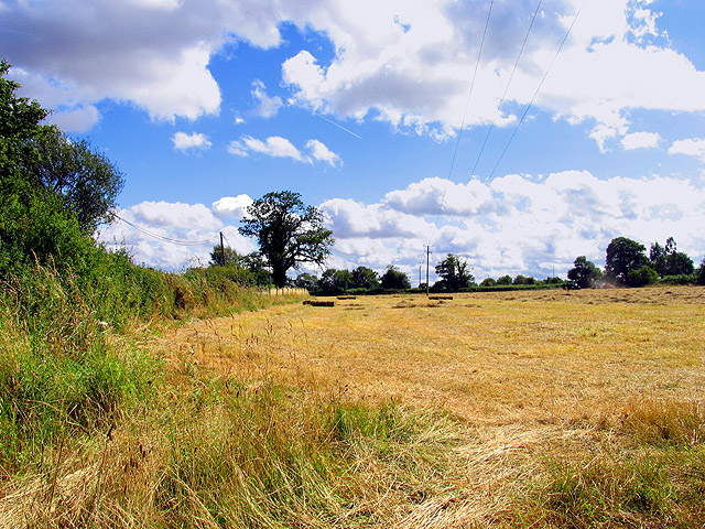
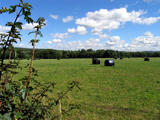
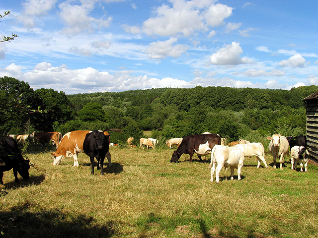
Goldfinch Bottom, Berkshire is a picturesque rural village located in the county of Berkshire, England. Situated amidst the stunning Berkshire Downs, this small village offers a tranquil and idyllic setting for its residents and visitors. The village is renowned for its natural beauty, with lush green fields, rolling hills, and charming country lanes.
The history of Goldfinch Bottom dates back centuries, with evidence of human habitation in the area from the Neolithic period. The village is named after the goldfinch bird, which is native to the region and can often be spotted in the surrounding woodlands and meadows.
Despite its small size and secluded location, Goldfinch Bottom has a strong sense of community. The village is home to a close-knit group of residents who actively participate in various local events and activities. There is a village hall that serves as a hub for social gatherings, community meetings, and celebrations.
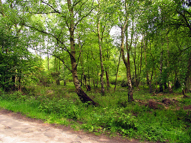
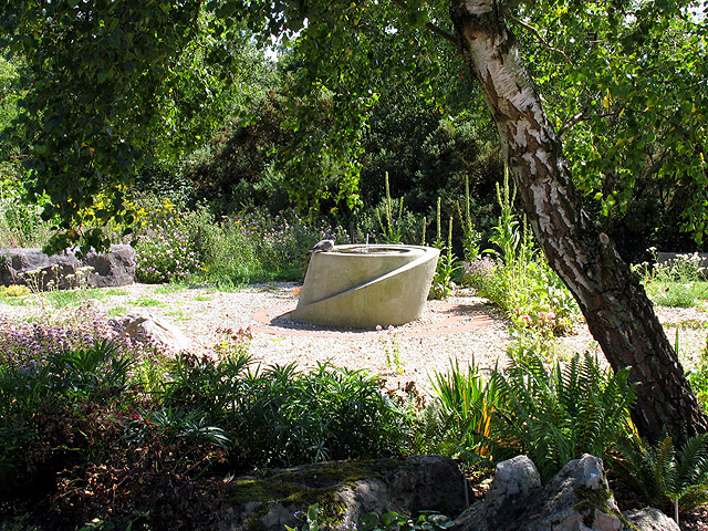
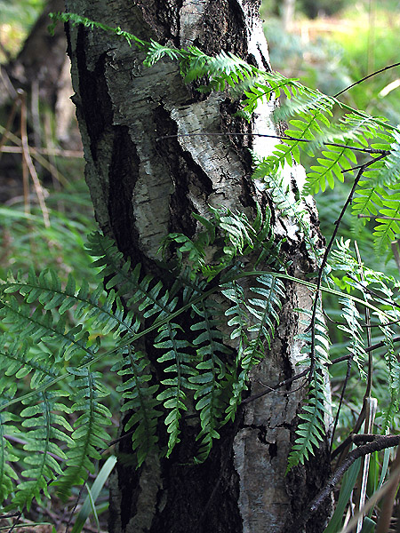
Nature enthusiasts will find plenty to explore in Goldfinch Bottom. The village is surrounded by an abundance of walking and cycling trails, offering breathtaking views of the surrounding countryside. Wildlife is abundant in the area, with various species of birds, mammals, and plants thriving in the village's natural environment.
Although Goldfinch Bottom lacks major amenities, it is conveniently located within a short drive of larger towns and cities, providing residents with easy access to essential services, shopping centers, and recreational facilities. Overall, Goldfinch Bottom is a hidden gem nestled in the heart of Berkshire, offering a peaceful retreat from the hustle and bustle of urban life.
If you have any feedback on the listing, please let us know in the comments section below.
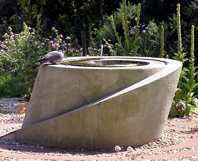
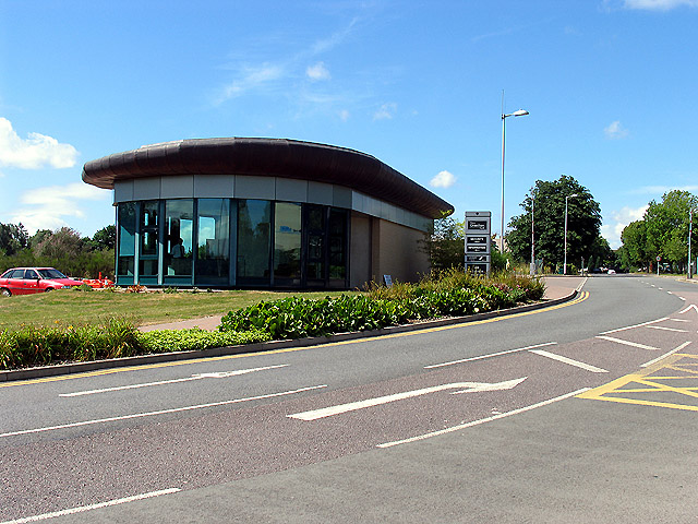
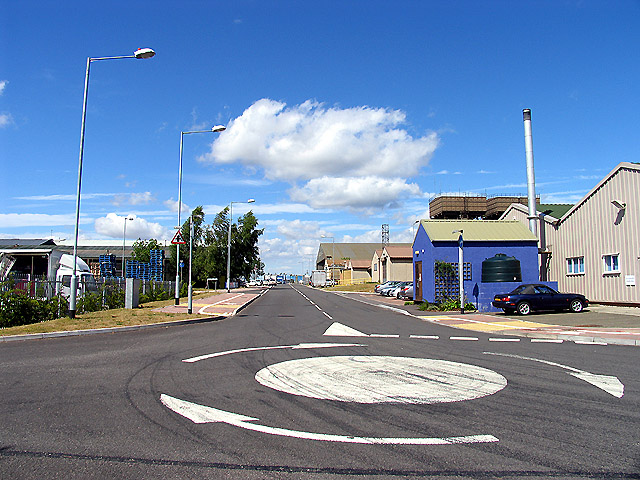
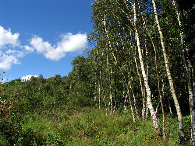
Goldfinch Bottom Images
Images are sourced within 2km of 51.372864/-1.2830724 or Grid Reference SU5064. Thanks to Geograph Open Source API. All images are credited.


Goldfinch Bottom is located at Grid Ref: SU5064 (Lat: 51.372864, Lng: -1.2830724)
Unitary Authority: West Berkshire
Police Authority: Thames Valley
What 3 Words
///dubbing.negotiators.gateway. Near Greenham, Berkshire
Nearby Locations
Related Wikis

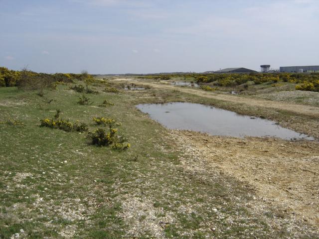
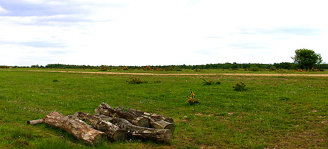
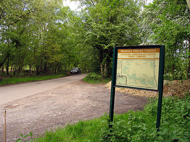
Greenham and Crookham Commons
Greenham and Crookham Commons are two adjoining public park areas of 280.5-hectare (693-acre) common land designated as a biological Site of Special Scientific...

Greenham Common Women's Peace Camp
Greenham Common Women's Peace Camp was a series of protest camps established to protest against nuclear weapons being placed at RAF Greenham Common in...
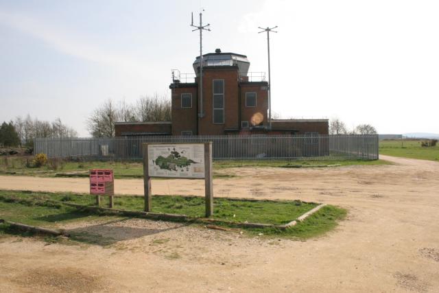
RAF Greenham Common
Royal Air Force Greenham Common or more simply RAF Greenham Common is a former Royal Air Force station in the civil parishes of Greenham and Thatcham in...

Greenham Preceptory
Greenham Preceptory was a preceptory of Knights Hospitaller at Greenham in the English county of Berkshire.The preceptory was established in 1199 and dissolved...
Nearby Amenities
Located within 500m of 51.372864,-1.2830724Have you been to Goldfinch Bottom?
Leave your review of Goldfinch Bottom below (or comments, questions and feedback).