The Decoy

Lake, Pool, Pond, Freshwater Marsh in Middlesex

England

The Decoy

Path through Sunnyhill Park, Hendon It's built on hills and has some amazing views to the north and west of London
Path through Sunnyhill Park, Hendon Credit: David Howard

The Decoy, Middlesex is a picturesque freshwater marsh located in the county of Middlesex, England. Spanning over an area of approximately 100 acres, this natural wonder is a haven for wildlife and a popular destination for nature enthusiasts.

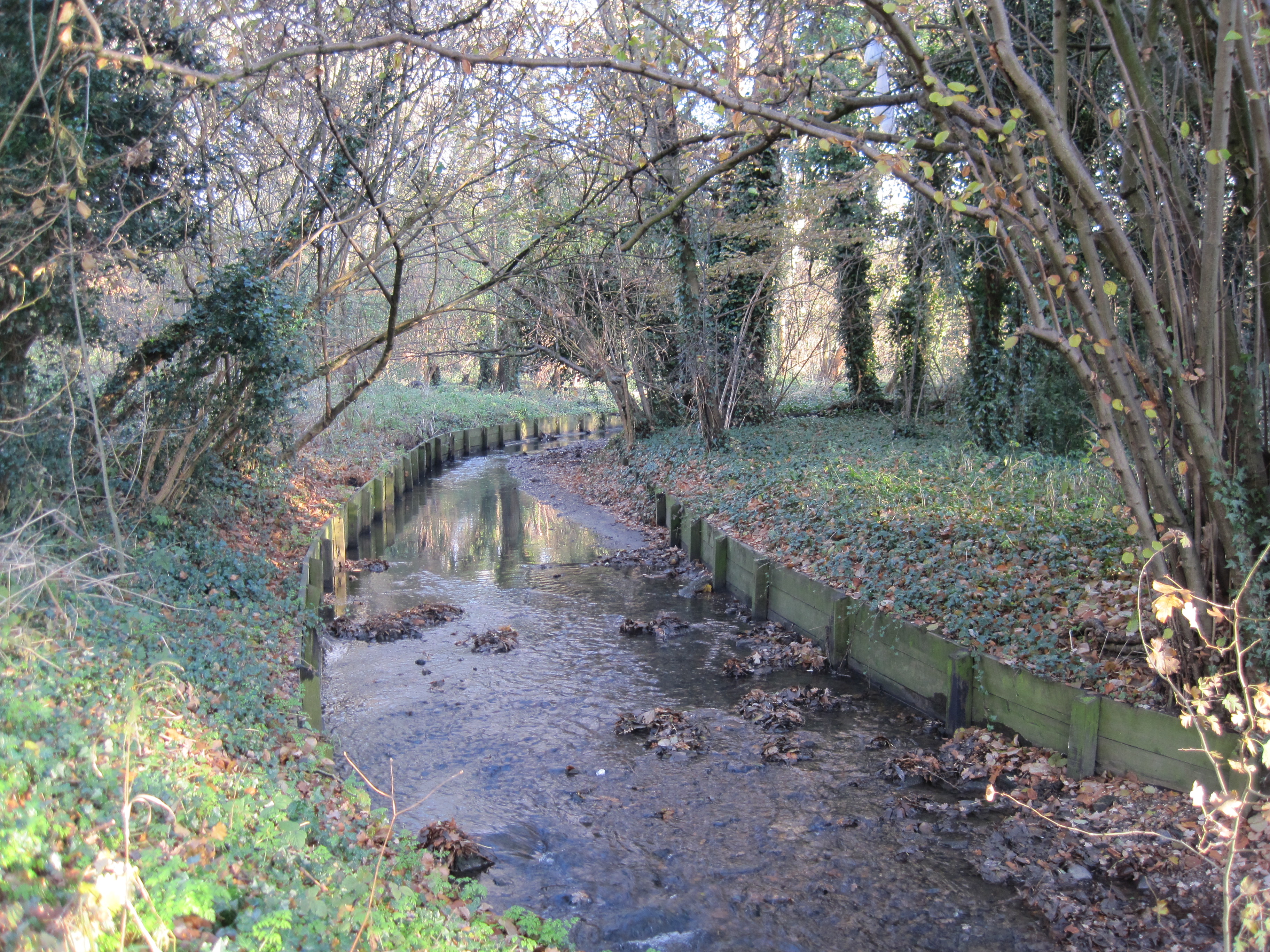
The Decoy is characterized by its diverse ecosystem, which includes a tranquil lake, a serene pool, a serene pond, and lush freshwater marshes. The lake, with its crystal-clear waters, serves as a habitat for various species of fish, including carp, roach, and perch. Anglers can often be seen lining its banks, trying their luck at catching these elusive creatures.

The pool, adjacent to the lake, is a smaller body of water that acts as a vital breeding ground for amphibians and invertebrates. Frogs, newts, and dragonflies thrive here, adding to the rich biodiversity of the marshland. The pond, on the other hand, is a shallow water body that supports a wide range of water plants and provides a crucial habitat for insects and birds.

The freshwater marshes, which surround the lake, pool, and pond, are a sight to behold. Characterized by tall reeds, swaying grasses, and vibrant wildflowers, these marshes are home to a plethora of bird species. Visitors to The Decoy can spot beautiful waterfowl, including ducks, swans, herons, and kingfishers, as they go about their daily activities.

The Decoy, Middlesex, offers visitors a chance to reconnect with nature and immerse themselves in its beauty. Whether it's fishing, bird-watching, or simply enjoying a peaceful walk along its banks, this natural oasis provides a delightful escape from the hustle and bustle of everyday life.

If you have any feedback on the listing, please let us know in the comments section below.
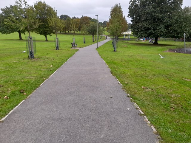
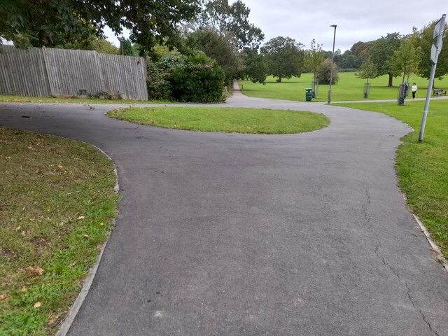
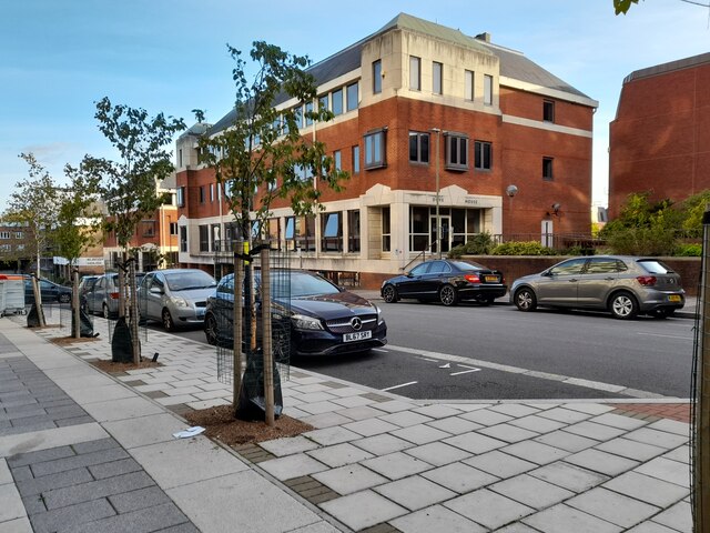
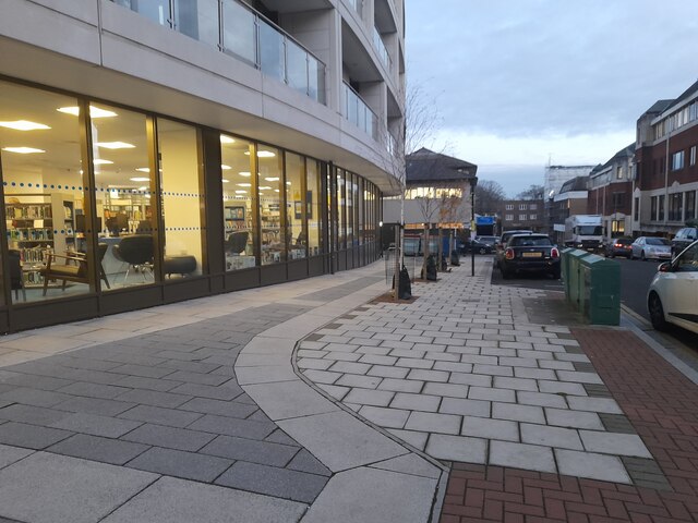
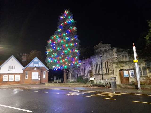
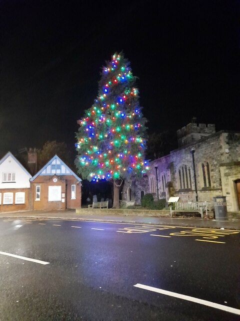
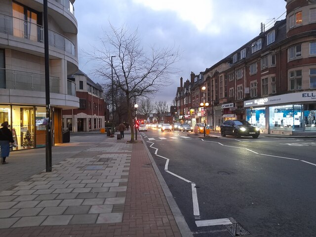
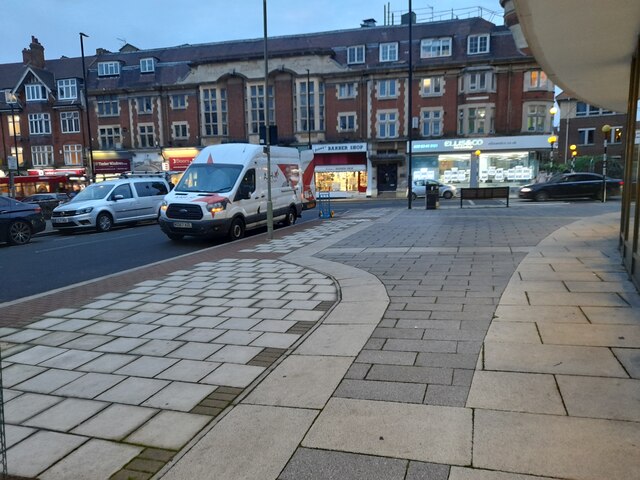
The Decoy Images

Images are sourced within 2km of 51.585657/-0.21113289 or Grid Reference TQ2488. Thanks to Geograph Open Source API. All images are credited.

Path through Sunnyhill Park, Hendon It's built on hills and has some amazing views to the north and west of London
Path through Sunnyhill Park, Hendon
It's built on hills and has some amazing views to the north and west of London
Path roundabout in Sunnyhill Park, Hendon I haven't seen a roundabout on a path before, and I don't remember seeing this before so it may be new.
Path roundabout in Sunnyhill Park, Hendon
I haven't seen a roundabout on a path before, and I don't remember seeing this before so it may be new.
Arcadia Avenue, Finchley  A small industrial area off Regents Park Road
Arcadia Avenue, Finchley
A small industrial area off Regents Park Road
Arcadia Avenue, Finchley  By the new Church End Library
Arcadia Avenue, Finchley
By the new Church End Library
Christmas tree at St Mary's Church, Finchley I can highly recommend the church hall for local functions, I hired it for my 18th birthday party and sure it is the same today.
Christmas tree at St Mary's Church, Finchley
I can highly recommend the church hall for local functions, I hired it for my 18th birthday party and sure it is the same today.
Christmas tree at St Mary's Church, Finchley The Blue Beetle church club is on the left.
Christmas tree at St Mary's Church, Finchley
The Blue Beetle church club is on the left.
Regent's Park Road, Finchley
Regent's Park Road from Arcadia Avenue
Regency Lodge forecourt, Finchley On Regents Park Road
Regency Lodge forecourt, Finchley
On Regents Park Road
Regent's Park Road, Finchley
Arcadia Avenue, Finchley On my regular visit to the library since it opened after lockdown.
Arcadia Avenue, Finchley
On my regular visit to the library since it opened after lockdown.
New Gateway House, Finchley This replaced the old version built in the 60s which housed the local tax office among others. The new library occupies the ground floor.
New Gateway House, Finchley
This replaced the old version built in the 60s which housed the local tax office among others. The new library occupies the ground floor.
New Waitrose on Regent's Park Road, Finchley
Offices on Arcadia Avenue, Finchley
Regent's Park Road, Finchley On my regular visit to the library
Regent's Park Road, Finchley
On my regular visit to the library
Houses on Lichfield Grove, Finchley
St Philip's Church on Regent's Park Road, Finchley
Arcadia Avenue, Finchley The new library where I visit regularly is on the left.
Arcadia Avenue, Finchley
The new library where I visit regularly is on the left.
Show me another place!

The Decoy is located at Grid Ref: TQ2488 (Lat: 51.585657, Lng: -0.21113289)

Unitary Authority: Barnet

Police Authority: Metropolitan

What 3 Words

///almost.artist.bets. Near Hendon, London

Nearby Locations

Golders Green The Decoy

Related Wikis

Brent Park, Hendon

Brent Park is a small public park of 2.24 hectares in Hendon in the London Borough of Barnet. It is part of the 'Lower Dollis Brook' Site of Borough Importance...

Mutton Brook

Mutton Brook is a stream which runs between East Finchley and Hendon in the London Borough of Barnet. It is a tributary of the River Brent, which is itself...

Hendon Reform Synagogue

Hendon Reform Synagogue, a member of the Movement for Reform Judaism, was a synagogue in Hendon in the London Borough of Barnet. The community was founded...

Etz Chaim Yeshiva (London)

Etz Chaim Yeshiva was a "Lithuanian" Orthodox yeshiva, now advanced kollel, in Golders Green, London, England. It operated as a yeshiva from the early...

Related Videos

Walking Around Hendon, London England April 2020 #walkingtour

Walking around Hendon, London England April 2020! Even though it is the time of the fairy dust, one has to do one's daily ...

Let’s walk: Colindale North West London Walking Tour

Walking around Colindale north west London on a warm Sunday evening July 23 at 9:30pm.

Piccadilly to Leicester square in a walking tour

exploration from Piccadilly to Leicester square in a walking tour.

Nearby Amenities

Located within 500m of 51.585657,-0.21113289
Traffic Signals
Traffic Signals Direction: forward
Lat/Long: 51.5887844/-0.2062217
Noexit: yes
Lat/Long: 51.5852777/-0.2092998
Bus Stop
Bridge Lane
Naptan AtcoCode: 490004323N
Naptan Bearing: N
Naptan CommonName: Bridge Lane
Naptan Verified: no
Public Transport: platform
Shelter: yes
Lat/Long: 51.5861729/-0.2098276
Bus Stop
Bridge Lane
Naptan AtcoCode: 490004323S
Naptan Bearing: N
Naptan CommonName: Bridge Lane
Naptan Verified: no
Public Transport: platform
Shelter: yes
Lat/Long: 51.5860006/-0.2095644
Bus Stop
Brent Street / Green Lane
Local Ref: F
Naptan AtcoCode: 490007464N
Naptan Bearing: N
Naptan CommonName: Green Lane Brent Street
Naptan Indicator: Stop F
Naptan Verified: no
Public Transport: platform
Ref: 48222
Lat/Long: 51.5834254/-0.2163782
Bus Stop
Brent Street / Green Lane
Local Ref: L
Naptan AtcoCode: 490007464S
Naptan Bearing: S
Naptan CommonName: Green Lane Brent Street
Naptan Indicator: Stop L
Naptan Verified: no
Public Transport: platform
Ref: 76507
Lat/Long: 51.5831625/-0.215492
Bus Stop
North Circular Road
Bench: yes
Local Ref: M
Naptan AtcoCode: 490010331E
Naptan Bearing: E
Naptan CommonName: North Circular Road Brent St
Naptan Indicator: Stop M
Naptan Street: BRENT STREET
Naptan Verified: no
Public Transport: platform
Ref: 55782
Shelter: yes
Lat/Long: 51.5814906/-0.2127595
Bus Stop
North Circular Road
Bench: yes
Local Ref: E
Naptan AtcoCode: 490010331W
Naptan Bearing: W
Naptan CommonName: North Circular Road Brent St
Naptan Indicator: Stop E
Naptan Street: BRENT STREET
Naptan Verified: no
Public Transport: platform
Ref: 59014
Shelter: yes
Lat/Long: 51.5817297/-0.2133597
Bus Stop
Southbourne Crescent
Local Ref: TN
Naptan AtcoCode: 490012257E
Naptan Bearing: E
Naptan CommonName: Southbourne Crescent
Naptan Indicator: Stop TN
Naptan Street: NORTH CIRCULAR ROAD
Naptan Verified: no
Public Transport: platform
Shelter: yes
Lat/Long: 51.5881753/-0.2076272
Bus Stop
Southbourne Crescent
Local Ref: TM
Naptan AtcoCode: 490012257W
Naptan Bearing: W
Naptan CommonName: Southbourne Crescent
Naptan Indicator: Stop TM
Naptan Street: NORTH CIRCULAR ROAD
Naptan Verified: no
Public Transport: platform
Lat/Long: 51.587879/-0.2077178
Ref GB Tflcid: RWG287319
Traffic Calming: hump
Lat/Long: 51.5851302/-0.2069958
Traffic Signals
Traffic Signals: crossing
Traffic Signals Direction: forward
Lat/Long: 51.5811943/-0.211965
Traffic Signals
Traffic Signals: signal
Lat/Long: 51.5828098/-0.21493
Turning Circle
Lat/Long: 51.5840677/-0.2124842
Place Of Worship
Alei Tzion
Denomination: orthodox
Religion: jewish
Lat/Long: 51.5882267/-0.2137153
Barrier: bollard
Note: no sign about cycling restrictions here
Lat/Long: 51.5880397/-0.2100223
Brent river Weir Folly
Historic: folly
Note: Elaborate weir and 2 small buildings
Waterway: weir
Lat/Long: 51.5815941/-0.2125962
Crossing
Bicycle: yes
Button Operated: yes
Crossing: traffic_signals
Crossing Island: no
Crossing Markings: dots
Crossing Ref: toucan
Tactile Paving: yes
Lat/Long: 51.5812331/-0.2119335
Street Lamp
Lamp Model: CU Phosco P851
Lamp Type: LED
Light Count: 1
Source: Personal memory
Lat/Long: 51.5812116/-0.212029
Traffic Signals
Traffic Signals Direction: forward
Lat/Long: 51.5885553/-0.206452
Crossing
Lat/Long: 51.5829828/-0.2154386
Give Way
Direction: backward
Lat/Long: 51.5829907/-0.21543
Traffic Signals
Traffic Signals: signal
Traffic Signals Direction: backward
Lat/Long: 51.5826701/-0.2151139
Crossing
Crossing: marked
Lat/Long: 51.5827103/-0.2150609
Give Way
Direction: forward
Lat/Long: 51.5823586/-0.2154183
Barrier: kerb
Kerb: lowered
Tactile Paving: no
Lat/Long: 51.5815541/-0.2140078
Barrier: kerb
Kerb: lowered
Tactile Paving: yes
Lat/Long: 51.5819232/-0.2136102
Barrier: kerb
Kerb: lowered
Tactile Paving: yes
Lat/Long: 51.5819968/-0.2134868
Crossing
Lat/Long: 51.581848/-0.2132511
Crossing
Crossing: unmarked
Crossing Island: yes
Crossing Markings: no
Tactile Paving: yes
Lat/Long: 51.5819533/-0.2135597
Crossing
Crossing: unmarked
Crossing Island: no
Tactile Paving: no
Lat/Long: 51.5815841/-0.2139641
Give Way
Direction: forward
Lat/Long: 51.5818701/-0.2134889
Give Way
Direction: backward
Lat/Long: 51.5815924/-0.2138814
Crossing
Crossing: unmarked
Crossing Island: no
Tactile Paving: yes
Lat/Long: 51.5818448/-0.213523
Barrier: kerb
Kerb: lowered
Tactile Paving: yes
Lat/Long: 51.5816145/-0.2139197
Crossing
Lat/Long: 51.5813617/-0.2119047
Tactile Paving: yes
Lat/Long: 51.581216/-0.2118768
Ref GB Tflcid: RWG287316
Traffic Calming: hump
Lat/Long: 51.5821015/-0.2072665
Ref GB Tflcid: RWG287320
Traffic Calming: hump
Lat/Long: 51.5857789/-0.2067499
Ref GB Tflcid: RWG287317
Traffic Calming: hump
Lat/Long: 51.5833537/-0.2070405
Ref GB Tflcid: RWG287318
Traffic Calming: hump
Lat/Long: 51.5844002/-0.2069898
Noexit: yes
Lat/Long: 51.5869862/-0.2060359
Tactile Paving: yes
Lat/Long: 51.5812514/-0.2119942
Natural: tree_stump
Lat/Long: 51.5834662/-0.2114305
Bench
Lat/Long: 51.5845445/-0.2117088
Crossing
Crossing: unmarked
Crossing Island: yes
Tactile Paving: yes
Lat/Long: 51.5883866/-0.212819
Crossing
Crossing: unmarked
Crossing Island: yes
Tactile Paving: yes
Lat/Long: 51.5885509/-0.2129982
The data included in this document is from www.openstreetmap.org. The data is made available under ODbL.

Have you been to The Decoy?

Leave your review of The Decoy below (or comments, questions and feedback).