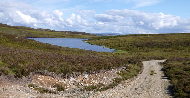
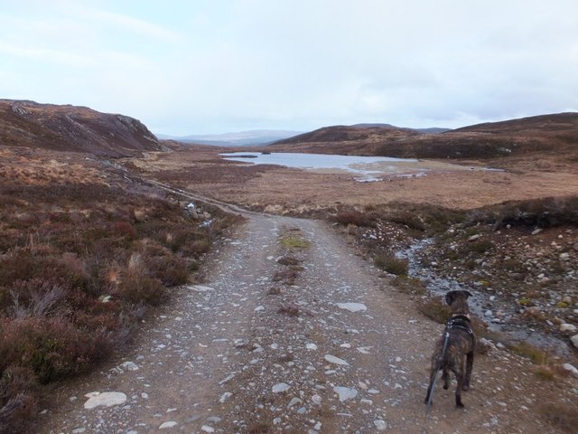
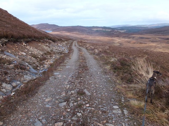
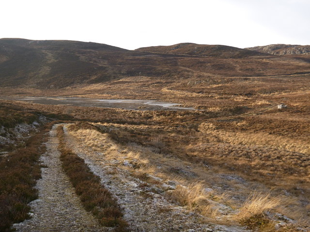
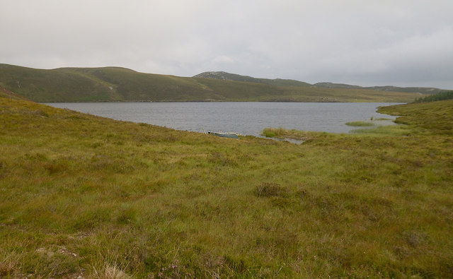
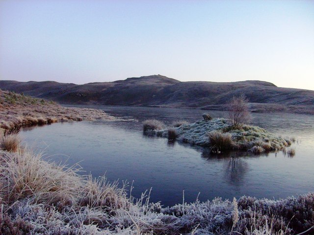
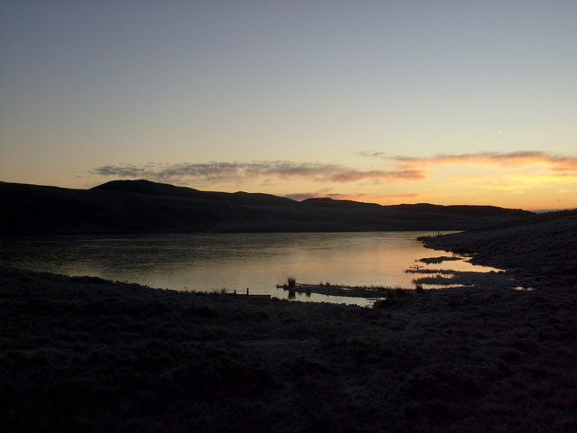
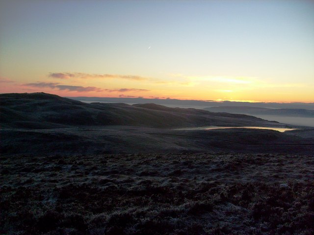
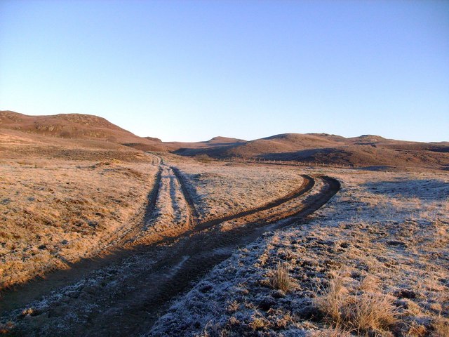
Loch Bad nan Earb
Lake, Pool, Pond, Freshwater Marsh in Inverness-shire
Scotland
Loch Bad nan Earb

The requested URL returned error: 429 Too Many Requests
If you have any feedback on the listing, please let us know in the comments section below.
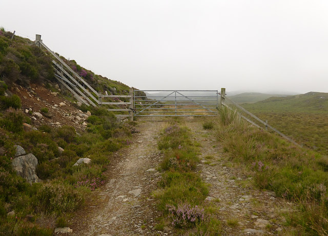
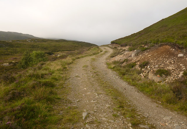
Loch Bad nan Earb Images
Images are sourced within 2km of 57.370362/-4.5675265 or Grid Reference NH4534. Thanks to Geograph Open Source API. All images are credited.


Loch Bad nan Earb is located at Grid Ref: NH4534 (Lat: 57.370362, Lng: -4.5675265)
Unitary Authority: Highland
Police Authority: Highlands and Islands
What 3 Words
///beefed.disprove.savings. Near Drumnadrochit, Highland
Nearby Locations
Related Wikis

Loch Bruicheach
Loch Bruicheach is a remote mountain loch, situated on the edge of Boblainy Forest in the Highland council area of Scotland. The nearest settlement to...

Balbeg, Highland
Balbeg (Scottish Gaelic: Am Baile Beag) is a clachan (hamlet) about 0.5 miles (1 km) north-east of Balnain, 4 miles (6 km) west of Drumnadrochit, Inverness...

Glen Urquhart
Glenurquhart or Glen Urquhart (Scottish Gaelic: Gleann Urchadain) is a glen running to the west of the village of Drumnadrochit in the Highland council...

Culnaskiach Falls
Culnaskiach Falls is a waterfall in Boblainy Forest, to the south of the village of Kiltarlity, in the Highland council area of Scotland. It is on a small...
Have you been to Loch Bad nan Earb?
Leave your review of Loch Bad nan Earb below (or comments, questions and feedback).