Peel Pond
Lake, Pool, Pond, Freshwater Marsh in Stirlingshire
Scotland
Peel Pond
The requested URL returned error: 429 Too Many Requests
If you have any feedback on the listing, please let us know in the comments section below.
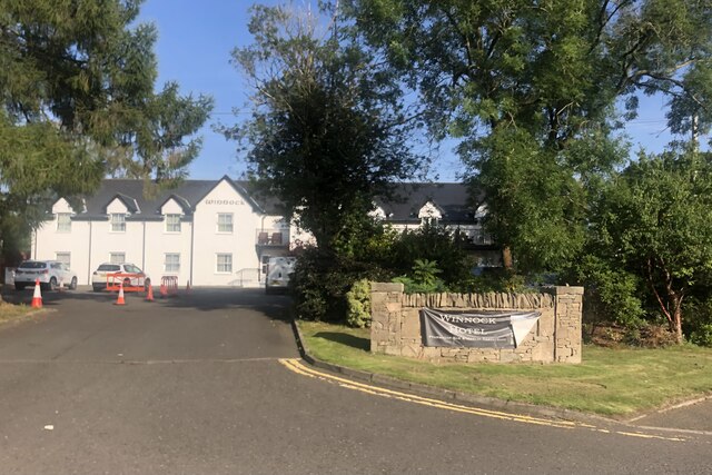
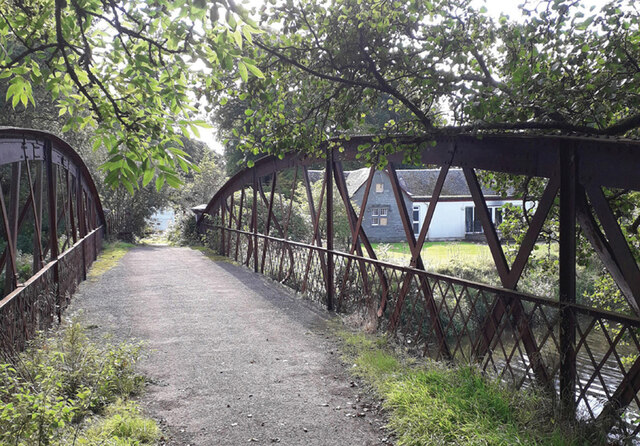
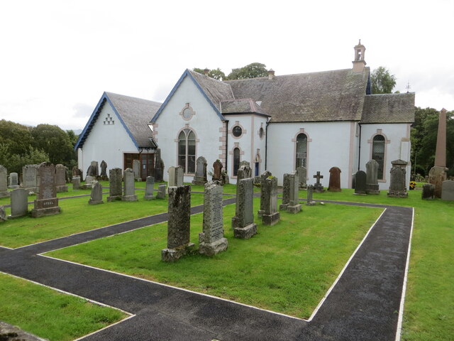
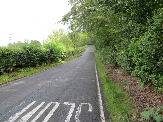
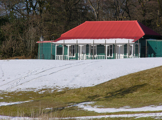
Peel Pond Images
Images are sourced within 2km of 56.062254/-4.4805399 or Grid Reference NS4588. Thanks to Geograph Open Source API. All images are credited.
Peel Pond is located at Grid Ref: NS4588 (Lat: 56.062254, Lng: -4.4805399)
Unitary Authority: Stirling
Police Authority: Forth Valley
What 3 Words
///locating.acrobats.famines. Near Killearn, Stirling
Nearby Locations
Related Wikis

Buchanan Auld House
Buchanan Auld House (or Buchanan Old House) is a ruined house in Stirlingshire, Scotland, located 1.5 miles (2.4 km) west of the village of Drymen. Historic...

Buchanan Castle
Buchanan Castle is a ruined castle in Stirlingshire, Scotland, located 1 mile (1.6 km) west of the village of Drymen. The house was commissioned by The...

Buchanan Smithy
Buchanan Smithy is a hamlet in Buchanan in the far west of Stirling, Scotland. The current settlement was mostly purpose-built in the 18th century for...

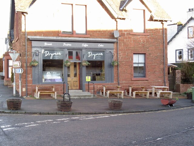
Drymen
Drymen (; from Scottish Gaelic: Druiminn [ˈt̪ɾɯmɪɲ]) is a village in the Stirling district of central Scotland. Once a popular stopping place for cattle...
Have you been to Peel Pond?
Leave your review of Peel Pond below (or comments, questions and feedback).