Llyn Pwmp
Lake, Pool, Pond, Freshwater Marsh in Anglesey
Wales
Llyn Pwmp
Llyn Pwmp is a small freshwater lake located on the island of Anglesey, off the northwest coast of Wales. Spanning an area of approximately 2 hectares, this picturesque body of water is nestled amidst a diverse landscape, surrounded by lush vegetation and rolling hills.
The lake is fed by several small streams, which bring in fresh water from the surrounding hills and contribute to its crystal-clear appearance. Llyn Pwmp is also known for its relatively shallow depth, averaging around 2 meters, making it an ideal habitat for a variety of aquatic plants and animals.
The shores of Llyn Pwmp are characterized by a mix of reeds, rushes, and other wetland vegetation, creating a freshwater marsh ecosystem. This marshland is an important habitat for numerous bird species, including herons, ducks, and swans, which can be seen gracefully gliding across the water or foraging along the edges of the lake.
The tranquility and natural beauty of Llyn Pwmp make it a popular destination for nature enthusiasts and photographers. Visitors can enjoy leisurely walks around the lake, observing the abundant wildlife and taking in the scenic surroundings. The calm waters of the lake also provide opportunities for fishing and boating, attracting both locals and tourists.
Overall, Llyn Pwmp is a captivating freshwater feature, offering a peaceful haven for wildlife and a serene retreat for those seeking a connection with nature on the stunning island of Anglesey.
If you have any feedback on the listing, please let us know in the comments section below.
Llyn Pwmp Images
Images are sourced within 2km of 53.258576/-4.3172785 or Grid Reference SH4576. Thanks to Geograph Open Source API. All images are credited.


Llyn Pwmp is located at Grid Ref: SH4576 (Lat: 53.258576, Lng: -4.3172785)
Unitary Authority: Isle of Anglesey
Police Authority: North Wales
What 3 Words
///boat.sits.radically. Near Llangefni, Isle of Anglesey
Nearby Locations
Related Wikis

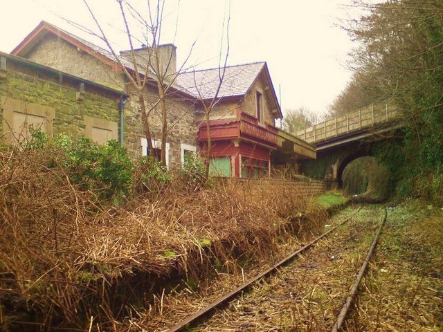
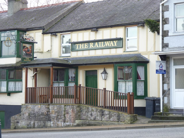
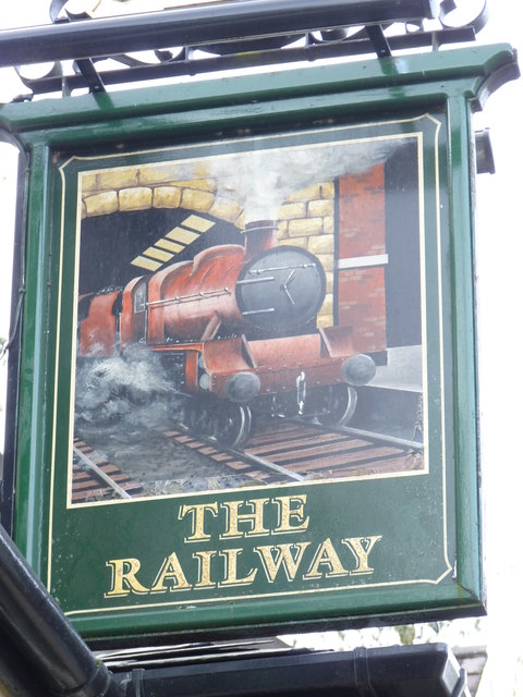
Llangefni railway station
Llangefni railway station was situated on the Anglesey Central Railway line from Gaerwen to Amlwch. A temporary terminus station was opened in 1864, approximately...

St Cyngar's Church, Llangefni
St Cyngar's Church is a church in the town of Llangefni in Anglesey, Wales. The building dates from 1824. It was designated a Grade II listed building...
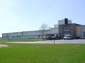
Ysgol Gyfun Llangefni
Ysgol Gyfun Llangefni is a bilingual community comprehensive school for pupils aged 11 to 18 years old located in Llangefni, Anglesey. Pupils come from...

Llangefni
Llangefni (meaning "church on the River Cefni", Welsh pronunciation: [ɬaŋˈɡɛvni]) is the county town of Anglesey in Wales. At the 2011 census, Llangefni...
Nearby Amenities
Located within 500m of 53.258576,-4.3172785Have you been to Llyn Pwmp?
Leave your review of Llyn Pwmp below (or comments, questions and feedback).