Nant y Pandy
Valley in Anglesey
Wales
Nant y Pandy

The requested URL returned error: 429 Too Many Requests
If you have any feedback on the listing, please let us know in the comments section below.
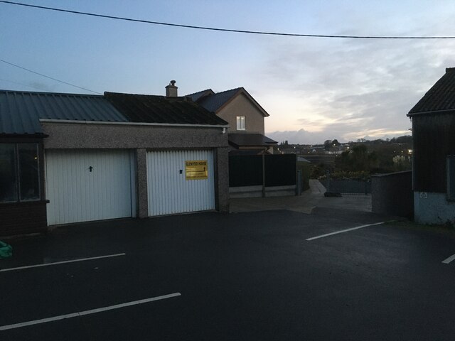
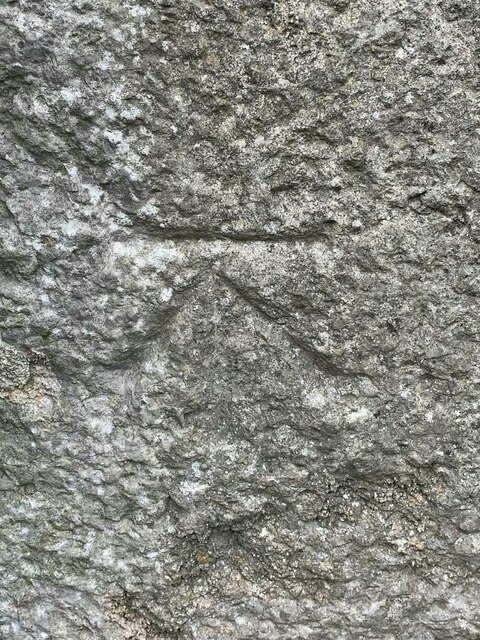
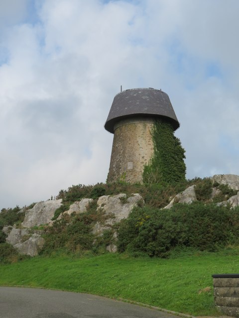
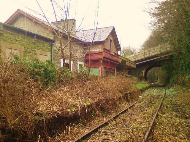
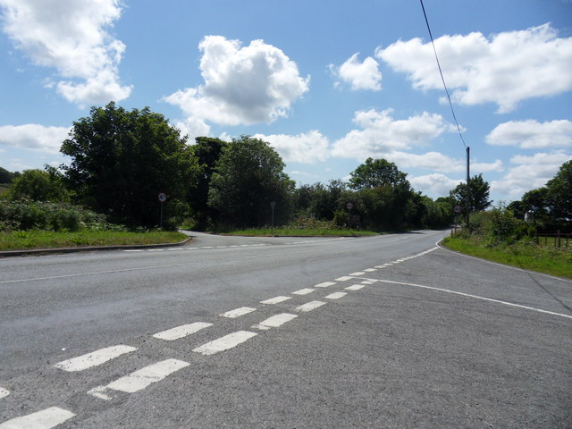
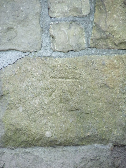
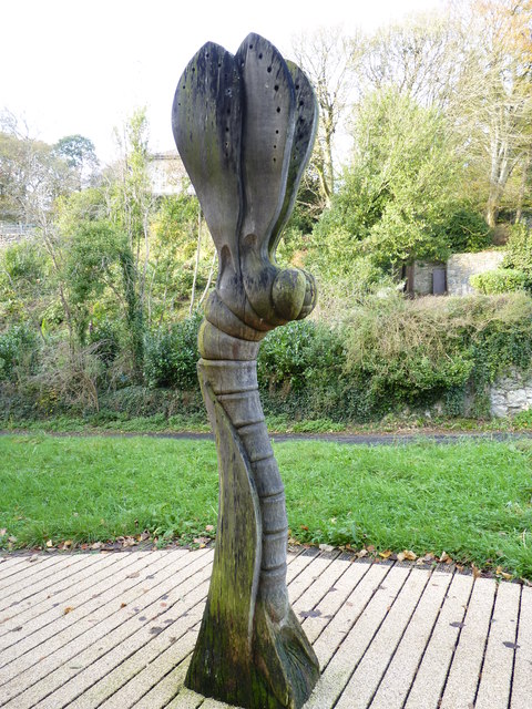
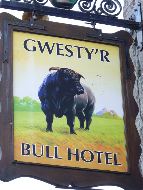
Nant y Pandy Images
Images are sourced within 2km of 53.260967/-4.319597 or Grid Reference SH4576. Thanks to Geograph Open Source API. All images are credited.


Nant y Pandy is located at Grid Ref: SH4576 (Lat: 53.260967, Lng: -4.319597)
Unitary Authority: Isle of Anglesey
Police Authority: North Wales
Also known as: The Dingle
What 3 Words
///fetching.stickler.fellow. Near Llangefni, Isle of Anglesey
Nearby Locations
Related Wikis

The Dingle, Anglesey
The Dingle (Welsh: Nant y Pandy) is a nature reserve found just to the north of Llangefni, Anglesey, north Wales. Dingle is a common placename in the English...

Ysgol Gyfun Llangefni
Ysgol Gyfun Llangefni is a bilingual community comprehensive school for pupils aged 11 to 18 years old located in Llangefni, Anglesey. Pupils come from...

St Cyngar's Church, Llangefni
St Cyngar's Church is a church in the town of Llangefni in Anglesey, Wales. The building dates from 1824. It was designated a Grade II listed building...
Oriel Ynys Môn
Oriel Môn is a museum and arts centre located in Llangefni, Anglesey (Ynys Môn), Wales. A two-part centre, the History Gallery provides an insight into...
Related Videos

Isle of Anglesey - Parys Mountain & Porth Wen
My first time in Anglesey and I was blown away by its diverse beauty. From a Copper Mine to an old Brickworks factory along the ...

Walking in the Anglesey countryside, Wales | Cerdded yn nghefn gwlad Ynys Môn, Cymru
Having a chilled walk on a cold yet sunny Sunday on the backroads of Anglesey in Wales. Mynd am dro ar ddiwrnod oer ond ...

Anglesey Coastal Path: Trearddur Bay, South Stack Lighthouse and more, Wales, UK (Sep'23)
Join me on an incredible journey as I explored the stunning Anglesey Coastal Path, a hidden gem of North Wales. This walk is ...

Nearby Amenities
Located within 500m of 53.260967,-4.319597Have you been to Nant y Pandy?
Leave your review of Nant y Pandy below (or comments, questions and feedback).