Lochan Clachaidh

Lake, Pool, Pond, Freshwater Marsh in Sutherland

Scotland

Lochan Clachaidh

Portnancon pier Jutting out into Loch Eriboll.  Ben Hope in the distance.
Portnancon pier Credit: Russel Wills

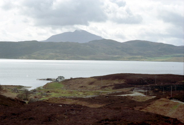
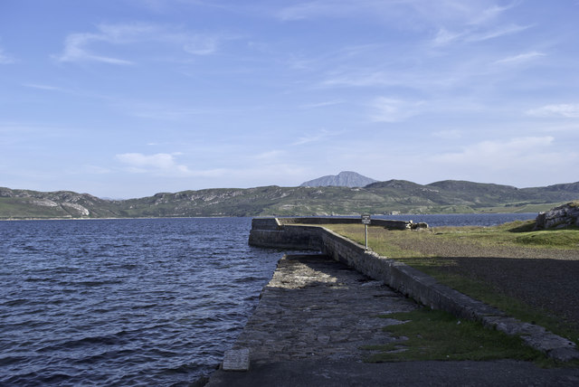
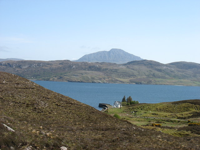
Lochan Clachaidh is a picturesque freshwater loch located in the county of Sutherland, Scotland. Nestled amidst the scenic landscape of the Scottish Highlands, it is a popular destination for nature enthusiasts and avid anglers alike.

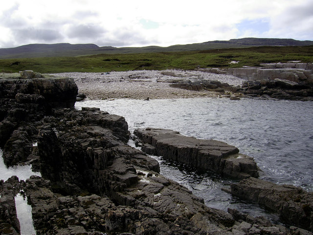
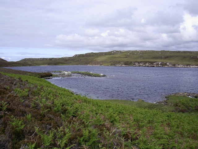
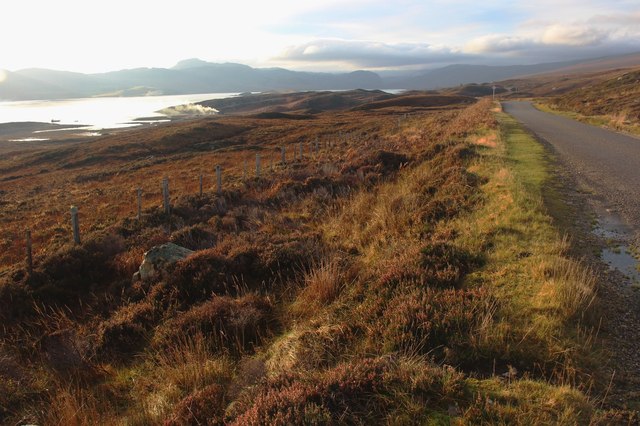
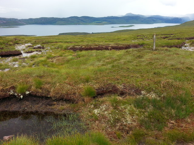
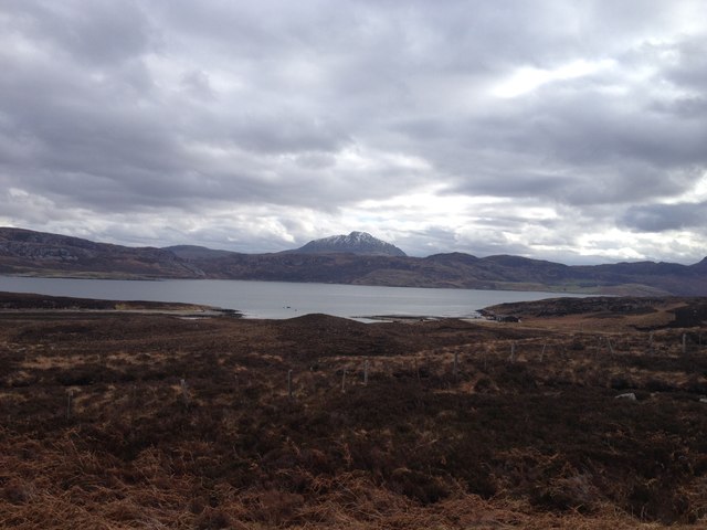
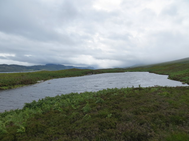
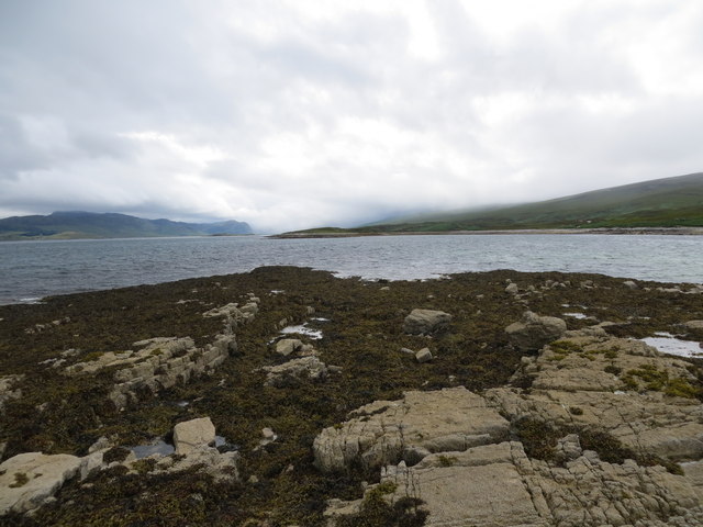
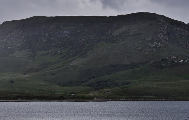
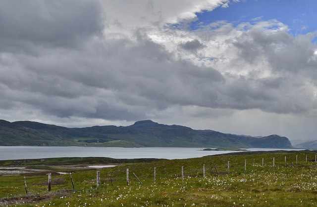
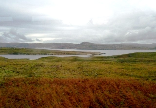
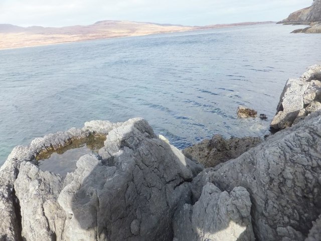
The lochan stretches across an area of approximately 10 acres and is surrounded by rolling hills and dense forests, offering breathtaking views. Its crystal-clear waters are fed by several small streams and springs that originate from the nearby mountains. The loch is characterized by its calm and peaceful atmosphere, providing a serene escape from the hustle and bustle of everyday life.

Lochan Clachaidh is renowned for its abundant wildlife and diverse ecosystem. The surrounding marshland and reed beds provide a haven for various bird species, including ducks, swans, and herons. The loch is also home to a variety of fish, such as brown trout and pike, making it a prime spot for fishing enthusiasts.

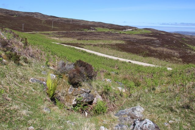
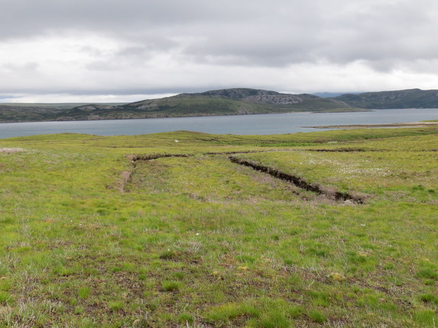
The area around Lochan Clachaidh offers numerous walking trails and picnic spots, allowing visitors to fully immerse themselves in the natural beauty of the Scottish countryside. Birdwatching and photography are also popular activities, as the loch provides ample opportunities to capture stunning shots of the surrounding flora and fauna.

Whether one seeks a peaceful retreat in nature or a chance to engage in recreational activities, Lochan Clachaidh in Sutherland is a truly remarkable destination that showcases the captivating beauty of the Scottish Highlands.

If you have any feedback on the listing, please let us know in the comments section below.

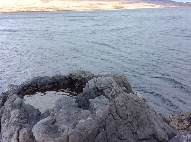
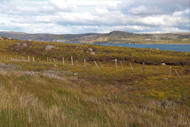
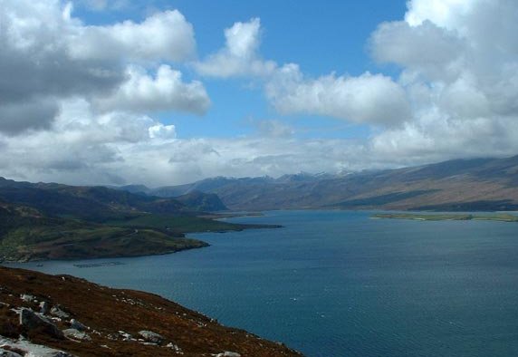
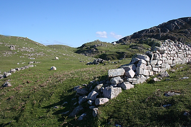
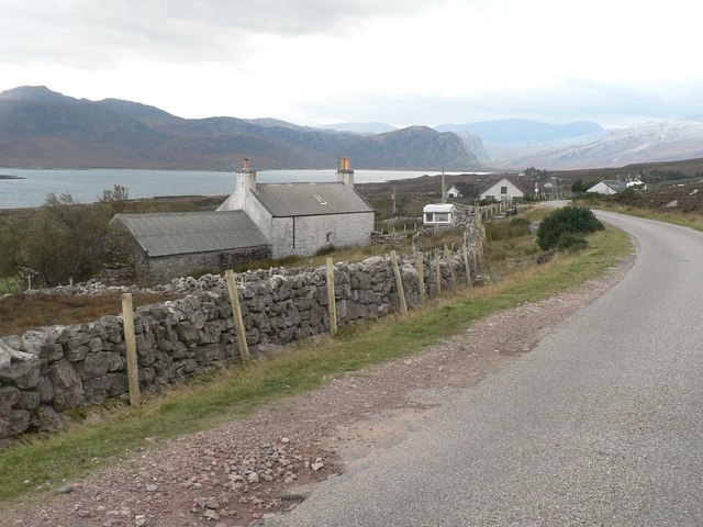
Lochan Clachaidh Images

Images are sourced within 2km of 58.51715/-4.6851264 or Grid Reference NC4361. Thanks to Geograph Open Source API. All images are credited.

Portnancon pier Jutting out into Loch Eriboll.  Ben Hope in the distance.
Portnancon pier
Jutting out into Loch Eriboll. Ben Hope in the distance.
Just North of Rubha Ruadh It would have been a bit of a walk here in ordinary conditions, but thankfully it was dry underfoot.
Just North of Rubha Ruadh
It would have been a bit of a walk here in ordinary conditions, but thankfully it was dry underfoot.
An Island in Loch Shian So insignificant that not even the Explorer map names it.
An Island in Loch Shian
So insignificant that not even the Explorer map names it.
The road down to Port Chamuill cuts through emerging bracken
Portnancon - Ben Hope beyond
A838 above Loch Eriboll
The summit of the track between Beinn Ceannabeinne and Meall Meadhonach
View from A838
View from A838
Portnancon pier, near Laid A modest pier on the west side of Loch Eriboll. Loch 'orrible, as the sailors knew it.

Looking across the loch and some fairly low hills, Ben Hope (at 927m, the most northerly Munro, in <a href="https://www.geograph.org.uk/gridref/NC4750">NC4750</a>) is prominent.
Portnancon pier, near Laid
A modest pier on the west side of Loch Eriboll. Loch 'orrible, as the sailors knew it. Looking across the loch and some fairly low hills, Ben Hope (at 927m, the most northerly Munro, in NC4750) is prominent.
Lochan Clachaidh above Loch Eriboll
Southern end of the tidal island of A' chlèit in Loch Eriboll
Area of old peat cuttings on the moor above Loch Eriboll
Loch Eriboll
Loch Eriboll
Loch Eriboll and Eilean Choraidh
Loch Slan Loch Slan is the smaller loch to left, connected to the much larger Loch Eriboll. Vieweed from the A838.
Loch Slan
Loch Slan is the smaller loch to left, connected to the much larger Loch Eriboll. Vieweed from the A838.
Rock pool near Geodh' an Sgadain View across Loch Eriboll from the East side. This was about the only dry land we could find on this square.
Rock pool near Geodh' an Sgadain
View across Loch Eriboll from the East side. This was about the only dry land we could find on this square.
Rock pool near Geodh' an Sgadain View across Loch Eriboll from the East side. This was about the only dry land we could find in this grid square
Rock pool near Geodh' an Sgadain
View across Loch Eriboll from the East side. This was about the only dry land we could find in this grid square
Moor on the west coast of Loch Eriboll
Show me another place!

Lochan Clachaidh is located at Grid Ref: NC4361 (Lat: 58.51715, Lng: -4.6851264)

Unitary Authority: Highland

Police Authority: Highlands and Islands

What 3 Words

///templates.fruits.space. Near Oldshoremore, Highland

Related Wikis

Portnancon

Portnacon is a small remote crofting township, and former fishing station, on the west shore of Loch Eriboll in Sutherland, Scottish Highlands in the...

Loch Eriboll

Loch Eriboll (Scottish Gaelic: "Loch Euraboil") is a 16 km (9.9 mi) long sea loch on the north coast of Scotland, which has been used for centuries as...

Ceannabeinne

Ceannabeinne (gaelic for the end of the mountains) is a ruined village within the parish of Durness, in the county of Sutherland, in the far north of the...

Laid, Sutherland

Laid is a remote, linear crofting township scattered along the A838 road on the western shore of the sea loch, Loch Eriboll in Sutherland in the northern...

Nearby Amenities

Located within 500m of 58.51715,-4.6851264
Source: PGS
Lat/Long: 58.5129634/-4.6821877
Source: PGS
Lat/Long: 58.5129434/-4.6861332
Source: PGS
Lat/Long: 58.5132971/-4.6858412
Source: PGS
Lat/Long: 58.5137113/-4.6855343
Source: PGS
Lat/Long: 58.5141048/-4.6857689
Source: PGS
Lat/Long: 58.5144601/-4.6851828
Source: PGS
Lat/Long: 58.5145548/-4.684497
Source: PGS
Lat/Long: 58.5149819/-4.6844893
Source: PGS
Lat/Long: 58.5152146/-4.6839498
Source: PGS
Lat/Long: 58.5143783/-4.6841491
Source: PGS
Lat/Long: 58.5141663/-4.6845358
Source: PGS
Lat/Long: 58.5139309/-4.6849643
Source: PGS
Lat/Long: 58.5137848/-4.6845531
Source: PGS
Lat/Long: 58.5139675/-4.6839323
Source: PGS
Lat/Long: 58.5144852/-4.6837218
Source: PGS
Lat/Long: 58.5154526/-4.6833998
Source: PGS
Lat/Long: 58.5157745/-4.6830538
Source: PGS
Lat/Long: 58.516152/-4.6823749
Source: PGS
Lat/Long: 58.516312/-4.6821369
Created By: almien_coastlines
Source: PGS
Lat/Long: 58.516746/-4.681511
Created By: almien_coastlines
Source: PGS
Lat/Long: 58.516877/-4.681272
Source: PGS
Lat/Long: 58.5171917/-4.6806433
Created By: almien_coastlines
Source: PGS
Lat/Long: 58.517533/-4.680081
Created By: almien_coastlines
Source: PGS
Lat/Long: 58.517663/-4.679842
Created By: almien_coastlines
Source: PGS
Lat/Long: 58.517795/-4.679604
Created By: almien_coastlines
Source: PGS
Lat/Long: 58.517926/-4.679365
Source: PGS
Lat/Long: 58.5180178/-4.6790583
Source: PGS
Lat/Long: 58.5181264/-4.6787807
Source: PGS
Lat/Long: 58.5184007/-4.6783138
Source: PGS
Lat/Long: 58.5193411/-4.6784565
Power: pole
Lat/Long: 58.5216086/-4.685842
Material: wood
Power: pole
Lat/Long: 58.5210363/-4.6858508
Material: wood
Power: pole
Lat/Long: 58.5205418/-4.6870169
Material: wood
Power: pole
Lat/Long: 58.5202078/-4.6878851
Material: wood
Power: pole
Lat/Long: 58.5197712/-4.6888497
Material: wood
Power: pole
Lat/Long: 58.5194744/-4.6895554
Material: wood
Power: pole
Lat/Long: 58.519023/-4.6906232
Power: pole
Lat/Long: 58.518564/-4.6917416
Power: pole
Lat/Long: 58.5179891/-4.6930975
The data included in this document is from www.openstreetmap.org. The data is made available under ODbL.

Have you been to Lochan Clachaidh?

Leave your review of Lochan Clachaidh below (or comments, questions and feedback).