Llyn Rhos-ddu
Lake, Pool, Pond, Freshwater Marsh in Anglesey
Wales
Llyn Rhos-ddu

The requested URL returned error: 429 Too Many Requests
If you have any feedback on the listing, please let us know in the comments section below.
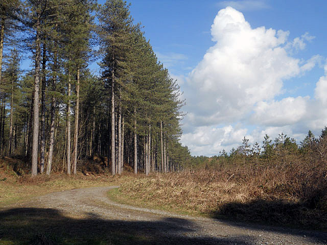
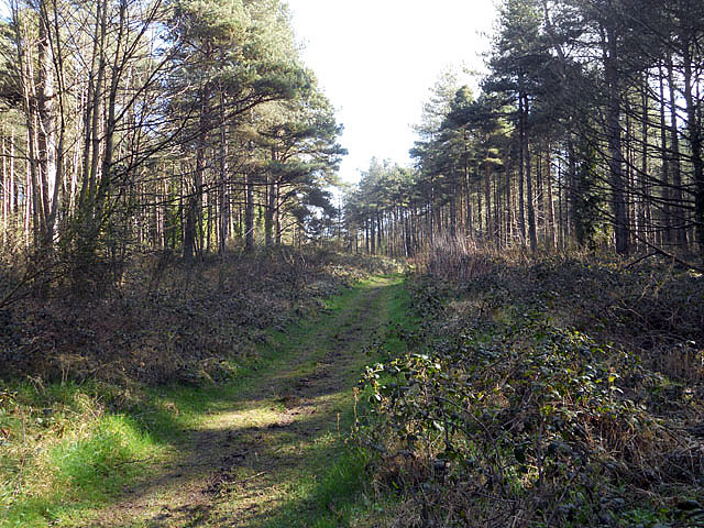
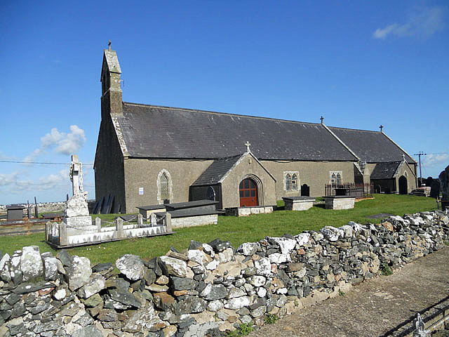
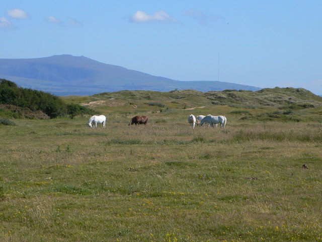
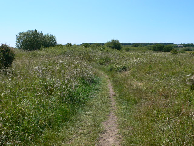
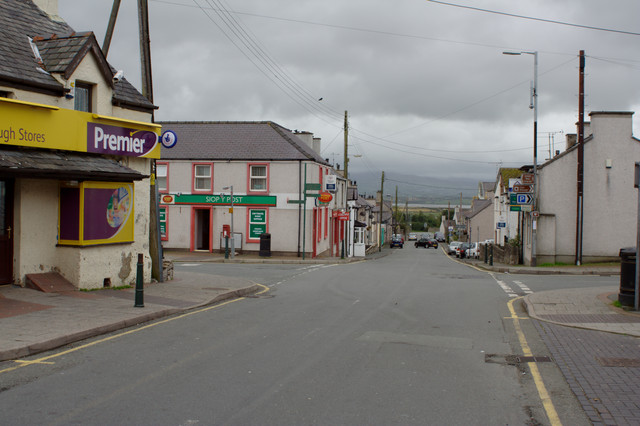
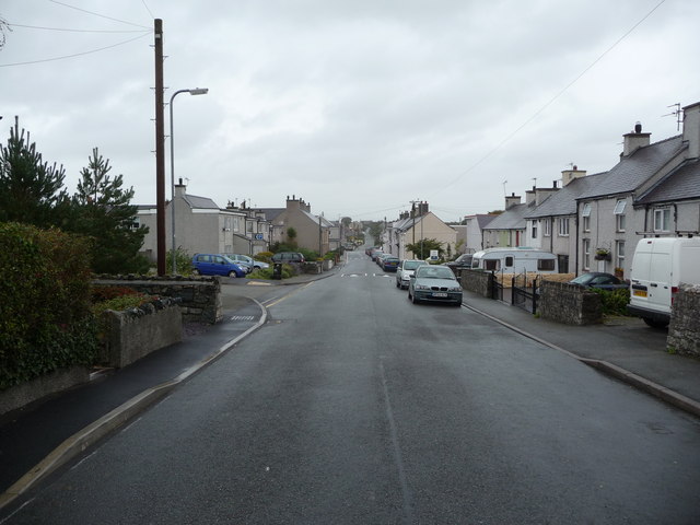
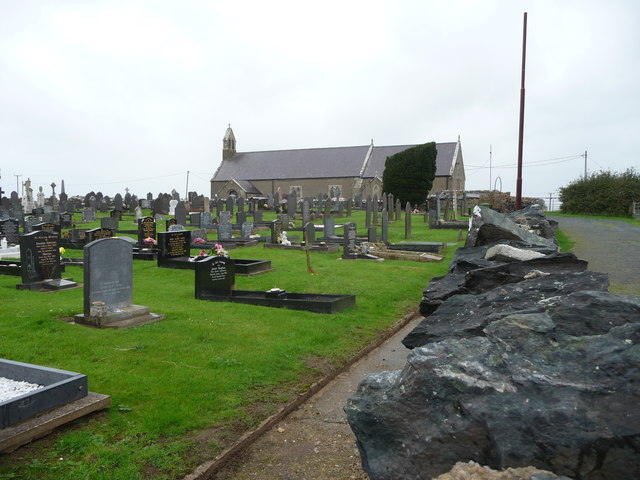
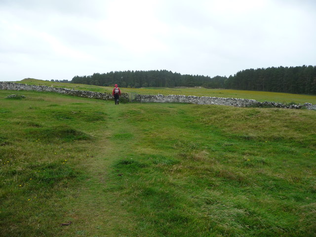
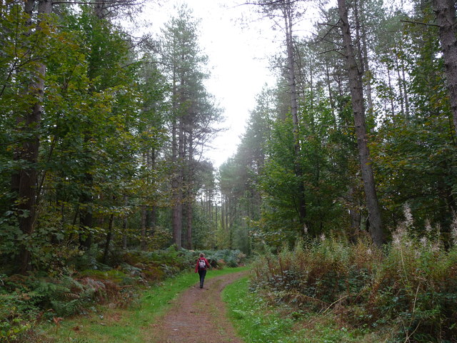
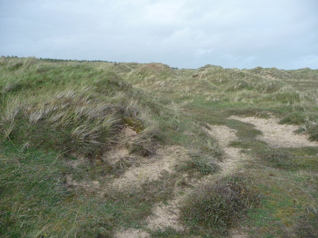
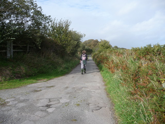
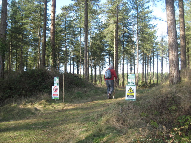
Llyn Rhos-ddu Images
Images are sourced within 2km of 53.157275/-4.357125 or Grid Reference SH4264. Thanks to Geograph Open Source API. All images are credited.
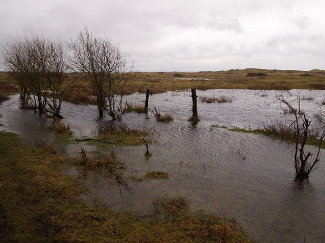
Llyn Rhos-ddu is located at Grid Ref: SH4264 (Lat: 53.157275, Lng: -4.357125)
Unitary Authority: Isle of Anglesey
Police Authority: North Wales
What 3 Words
///scatter.drain.composes. Near Caernarfon, Gwynedd
Nearby Locations
Related Wikis
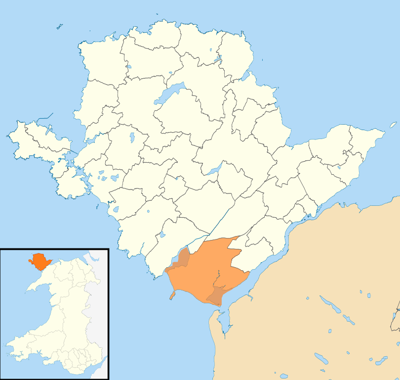
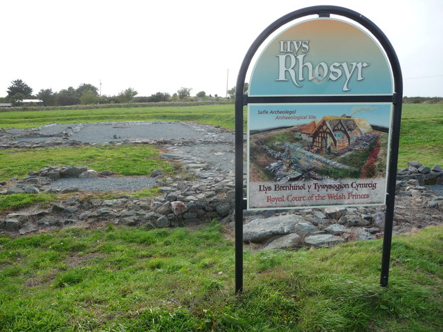
Rhosyr
Rhosyr is a community in the far southern corner of Anglesey, Wales. It includes the villages of Dwyran and Newborough, Llangeinwen and Llangaffo. The...

Pen-Lôn
Pen-Lon is a village in the community of Rhosyr, Anglesey, Wales, located just south east of the larger village of Newborough. Attractions in the locality...
Newborough Warren
Newborough Warren (Welsh: Tywyn Niwbwrch) near the village of Newborough (Niwbwrch) in Anglesey, Wales, is a large dune and beach system of 2,269 hectares...

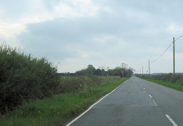
A4080 road
The A4080 is a British A road which is located on the Island of Anglesey, Wales. It follows a very roundabout route from the A5 road at Llanfairpwllgwyngyll...
Nearby Amenities
Located within 500m of 53.157275,-4.357125Have you been to Llyn Rhos-ddu?
Leave your review of Llyn Rhos-ddu below (or comments, questions and feedback).