Lochend Loch

Lake, Pool, Pond, Freshwater Marsh in Ayrshire

Scotland

Lochend Loch

Entering Coylton Coylton is a small village which straddles the A70.
Entering Coylton Credit: Malcolm Neal

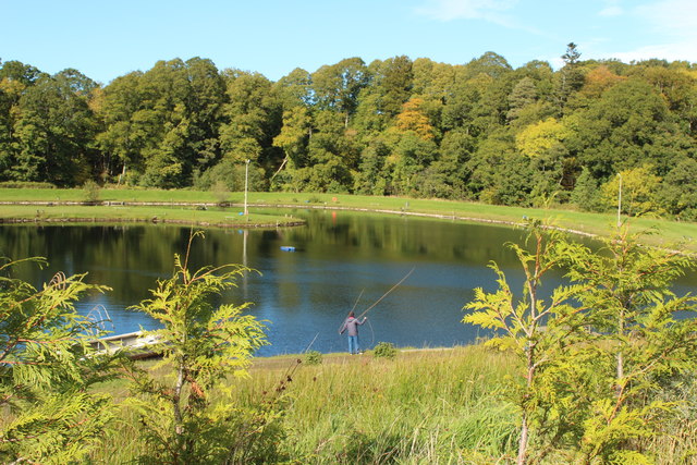
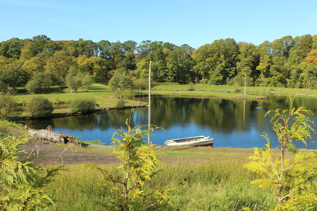
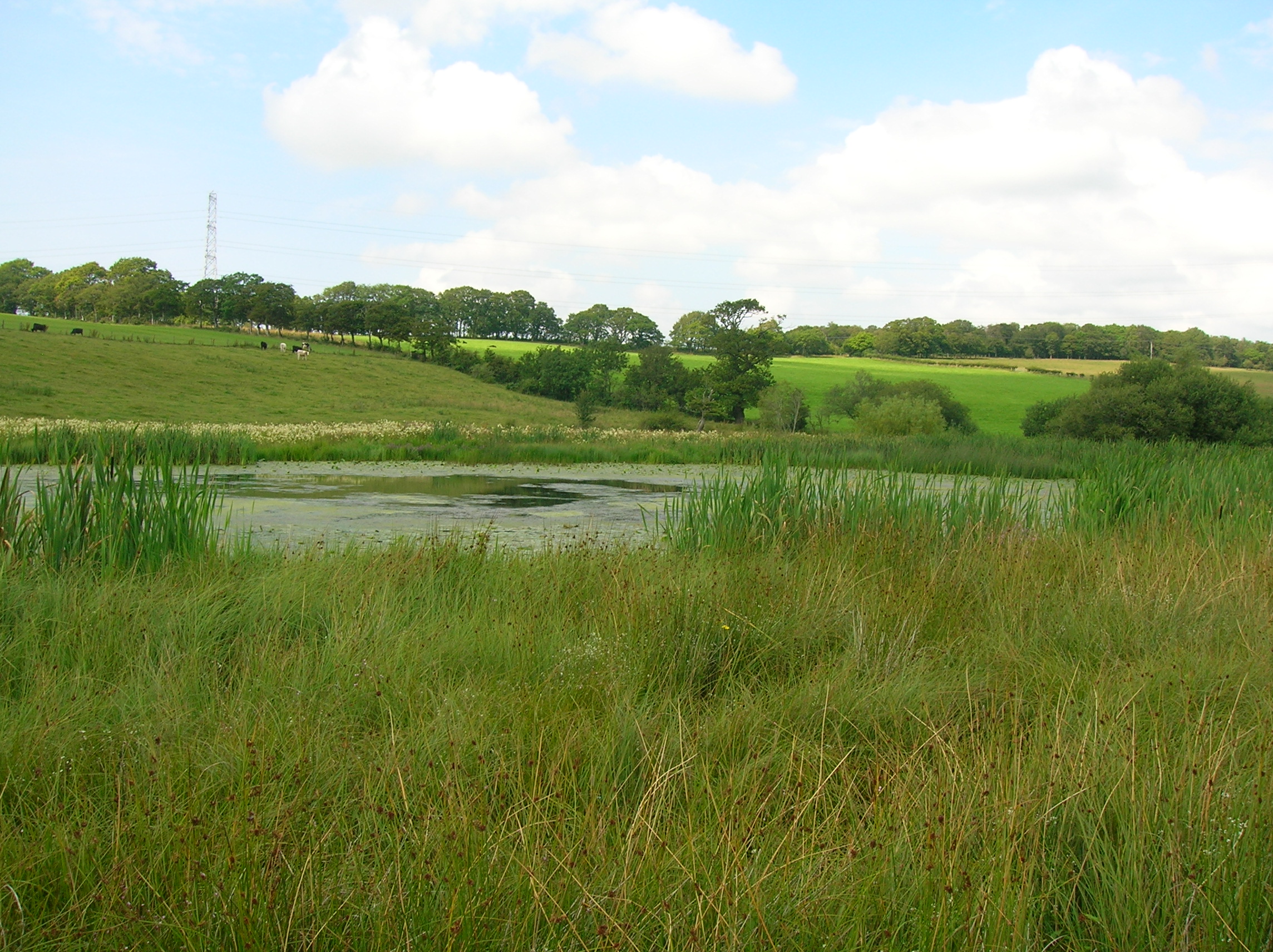
Lochend Loch, located in Ayrshire, Scotland, is a picturesque freshwater loch encompassing an area of approximately 5 hectares. This serene water body is nestled amidst lush greenery and rolling hills, creating a tranquil and idyllic setting for both locals and tourists alike.

The loch is fed by several small streams that flow from the surrounding hills, ensuring a constant supply of fresh water. Its crystal-clear waters are home to a variety of aquatic plants and animals, making it an ideal habitat for a diverse range of wildlife.

Surrounded by a mix of deciduous and coniferous trees, Lochend Loch offers a haven for numerous bird species. Birdwatchers can spot a variety of waterfowl, including mallards, coots, tufted ducks, and swans, as they gracefully glide across the water's surface. The surrounding vegetation provides nesting sites for these birds, adding to the loch's ecological significance.

In addition to its ecological importance, Lochend Loch offers recreational opportunities for visitors. Fishing enthusiasts can try their luck at angling, with the loch being well-stocked with brown trout. The calm waters also invite boating and canoeing, providing a peaceful and scenic setting for water-based activities.

Lochend Loch is easily accessible, with a car park conveniently located nearby. Visitors can enjoy leisurely walks around the loch, taking in the breathtaking views and immersing themselves in the tranquility of nature. Whether it's birdwatching, fishing, or simply enjoying the serenity of the surroundings, Lochend Loch offers a delightful escape from the hustle and bustle of everyday life.

If you have any feedback on the listing, please let us know in the comments section below.
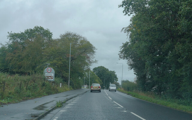
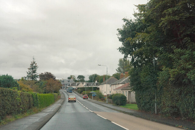
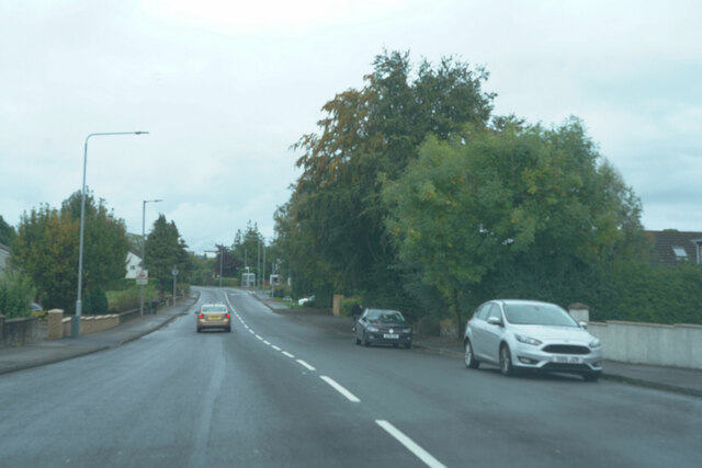
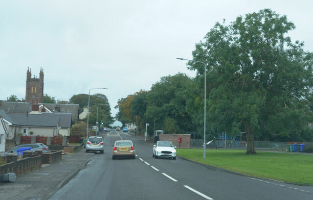
Lochend Loch Images

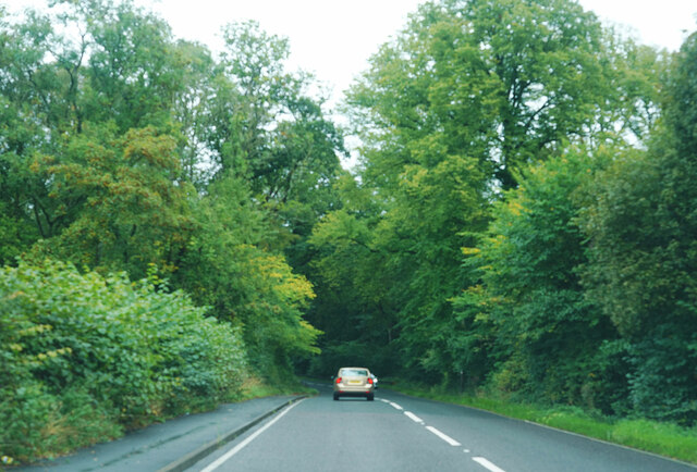
Images are sourced within 2km of 55.448732/-4.510577 or Grid Reference NS4120. Thanks to Geograph Open Source API. All images are credited.

Entering Coylton Coylton is a small village which straddles the A70.
Entering Coylton
Coylton is a small village which straddles the A70.
The village of Coylton Coylton appears to have fairly modern housing stock next to the A70.
The village of Coylton
Coylton appears to have fairly modern housing stock next to the A70.
The A70 This is the end of the village of Coylton as we pass through on the A70.
The A70
This is the end of the village of Coylton as we pass through on the A70.
Still in Coylton There was a little gap with no houses but this still is part of Coylton as the tower visible on the left belongs to Coylton Parish Church.
Still in Coylton
There was a little gap with no houses but this still is part of Coylton as the tower visible on the left belongs to Coylton Parish Church.
Trees along the A70 Even though it is the start of Autumn the trees are still a vibrant green.
Trees along the A70
Even though it is the start of Autumn the trees are still a vibrant green.
Coyle Water Fishery, Coalhall
Ancient Earthwork Near Coylton The earthwork shown on the map is hidden by the group of trees.
Ancient Earthwork Near Coylton
The earthwork shown on the map is hidden by the group of trees.
Ordnance Survey Flush Bracket G594 This can be found on the wall of Coylton Parish Church.
For more detail see : <span class="nowrap"><a title="http://www.bench-marks.org.uk/bm331" rel="nofollow ugc noopener" href="http://www.bench-marks.org.uk/bm331">Link</a><img style="margin-left:2px;" alt="External link" title="External link - shift click to open in new window" src="https://s1.geograph.org.uk/img/external.png" width="10" height="10"/></span>
Ordnance Survey Flush Bracket G594
This can be found on the wall of Coylton Parish Church. For more detail see : LinkExternal link
Coylton Parish Church Viewed from the south.
Coylton Parish Church
Viewed from the south.
Ordnance Survey Flush Bracket G4503 This can be found on the wall of a building at Holebogs (now Woodside Farm B&B).
For more detail see : <span class="nowrap"><a title="http://www.bench-marks.org.uk/bm17125" rel="nofollow ugc noopener" href="http://www.bench-marks.org.uk/bm17125">Link</a><img style="margin-left:2px;" alt="External link" title="External link - shift click to open in new window" src="https://s1.geograph.org.uk/img/external.png" width="10" height="10"/></span>
Ordnance Survey Flush Bracket G4503
This can be found on the wall of a building at Holebogs (now Woodside Farm B&B). For more detail see : LinkExternal link
Road at its junction with a track to Tobergill Looking southward.
Road at its junction with a track to Tobergill
Looking southward.
Remains of Church at Low Coylton Looking north-westward.
Remains of Church at Low Coylton
Looking north-westward.
Telephone box, Colyton On Arthurston Terrace beside the A70.
Telephone box, Colyton
On Arthurston Terrace beside the A70.
Bus on Ayr Road, Coylton Ayr bound bus on the A70.
Bus on Ayr Road, Coylton
Ayr bound bus on the A70.
Old Parish Church and Graveyard, Low Coylton
Old Parish Church Graveyard, Low Coylton
Show me another place!

Lochend Loch is located at Grid Ref: NS4120 (Lat: 55.448732, Lng: -4.510577)

Unitary Authority: South Ayrshire

Police Authority: Ayrshire

What 3 Words

///visit.removal.compress. Near Coylton, South Ayrshire

Nearby Locations

Broad Wood Lochend Loch

Related Wikis

Lochend Loch (Coylton)

Lochend Loch, which once had nearly three acres in surface area is now only a small freshwater loch remnant. It lies in the South Ayrshire Council Area...

Joppa, South Ayrshire

Joppa is a former hamlet in South Ayrshire, Scotland, about one mile (1.5 kilometres) which now forms the eastern portion of the built-up part of Coylton...

Coylton

Coylton (Scots: Culton) is a village and civil parish in South Ayrshire, Scotland. It is five miles (eight kilometres) east of Ayr and 2+1⁄2 miles (4 kilometres...

Sundrum Castle

Sundrum Castle is a Scottish medieval castle located 1.5 kilometres (0.93 mi) north of Coylton, South Ayrshire, by the Water of Coyle river. It was built...

Nearby Amenities

Located within 500m of 55.448732,-4.510577
Power: tower
Lat/Long: 55.4520365/-4.507773
Power: tower
Lat/Long: 55.4512866/-4.5127311
Power: pole
Lat/Long: 55.4517815/-4.5156598
Power: pole
Lat/Long: 55.4520142/-4.5144314
Power: pole
Lat/Long: 55.452256/-4.5132029
Power: pole
Lat/Long: 55.4524127/-4.5119342
Power: pole
Lat/Long: 55.4525709/-4.5106441
Power: pole
Lat/Long: 55.4529025/-4.5079967
Power: pole
Lat/Long: 55.4474998/-4.5036796
Power: pole
Lat/Long: 55.4480747/-4.5038846
Power: pole
Lat/Long: 55.4485875/-4.5040025
Generator Method: photovoltaic
Generator Output Electricity: yes
Generator Source: solar
Generator Type: solar_photovoltaic_panel
Power: generator
Lat/Long: 55.4465175/-4.5170164
Generator Method: photovoltaic
Generator Output Electricity: yes
Generator Source: solar
Generator Type: solar_photovoltaic_panel
Power: generator
Lat/Long: 55.4473631/-4.5162445
The data included in this document is from www.openstreetmap.org. The data is made available under ODbL.

Have you been to Lochend Loch?

Leave your review of Lochend Loch below (or comments, questions and feedback).