Loch Ghuilbinn

Lake, Pool, Pond, Freshwater Marsh in Inverness-shire

Scotland

Loch Ghuilbinn

The moorland near Strathossian Strathossian house is in the trees in the middle distance.
The moorland near Strathossian Credit: David Medcalf

The requested URL returned error: 429 Too Many Requests

If you have any feedback on the listing, please let us know in the comments section below.

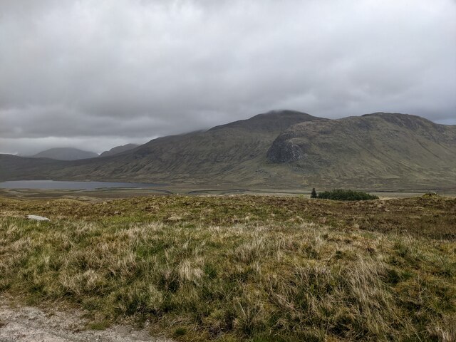
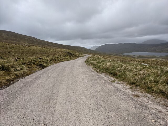
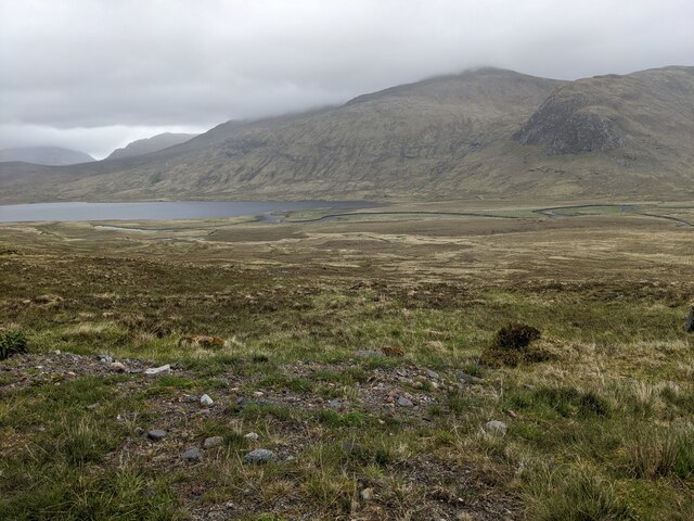
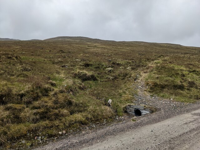
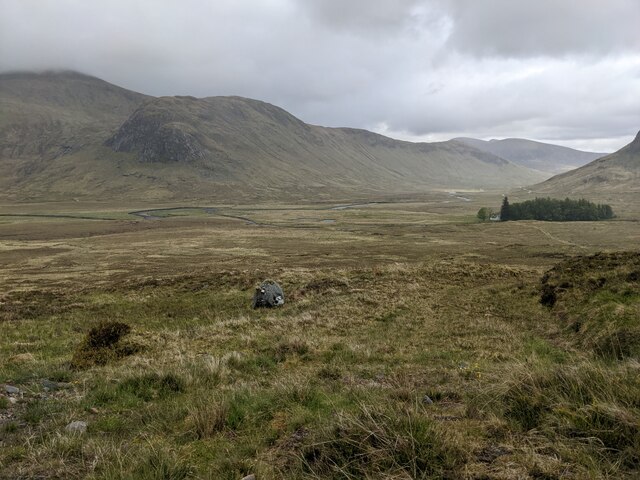
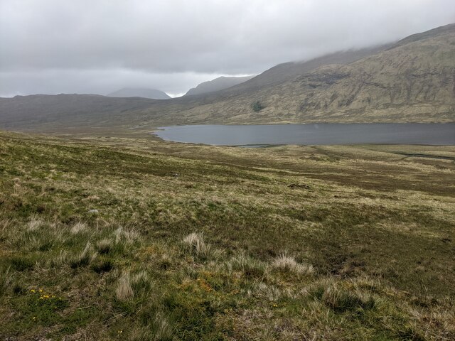
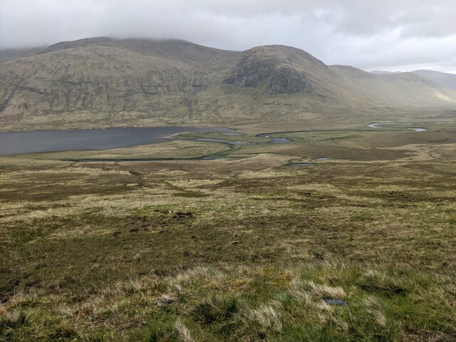
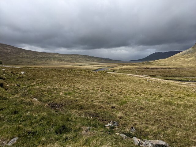
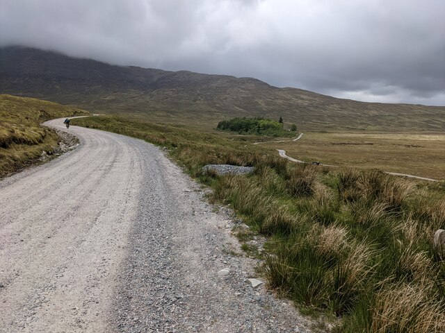
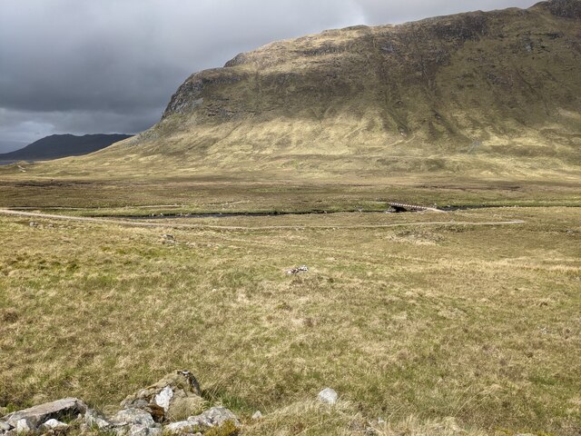
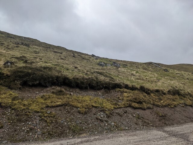
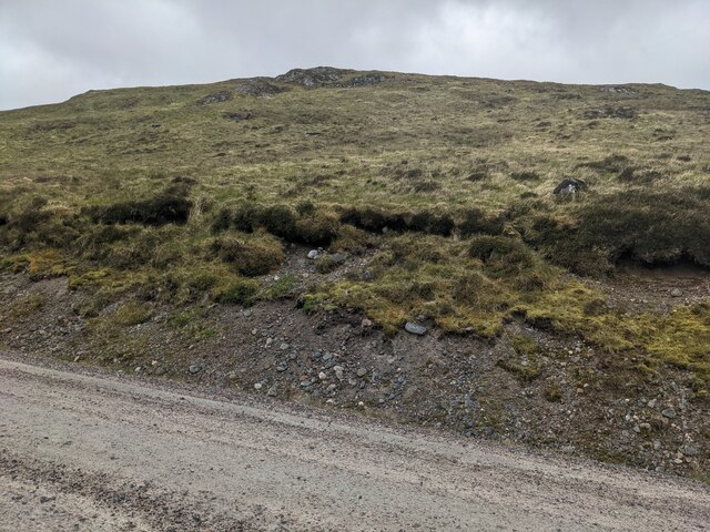
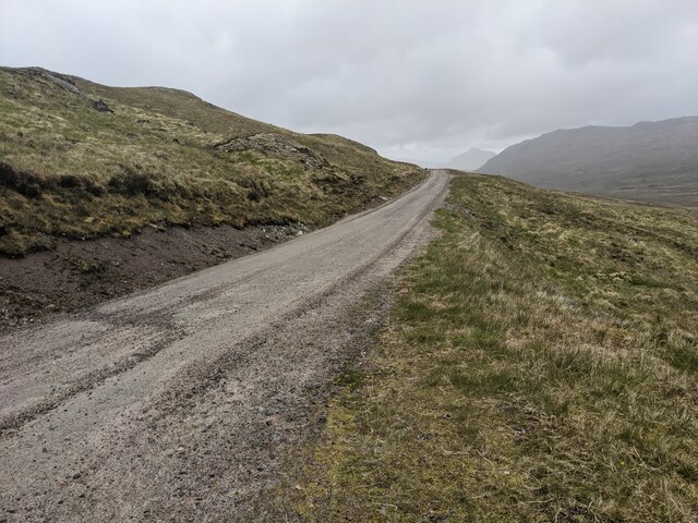
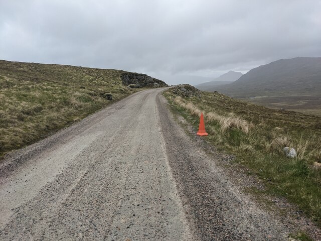
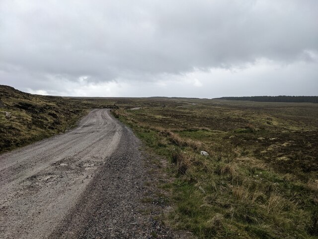
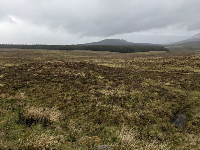
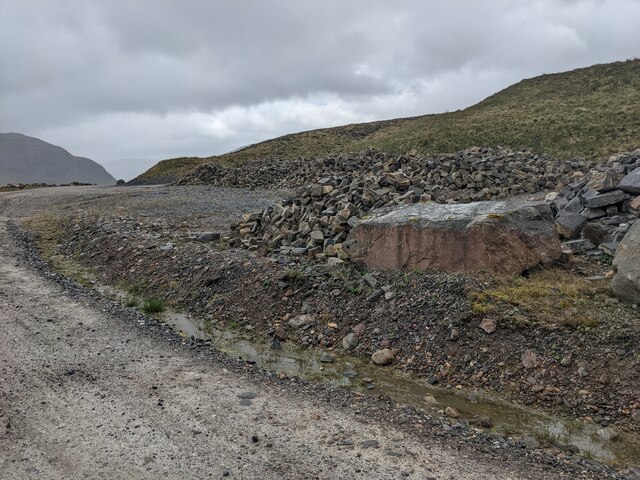
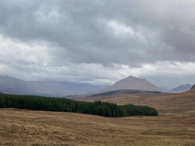
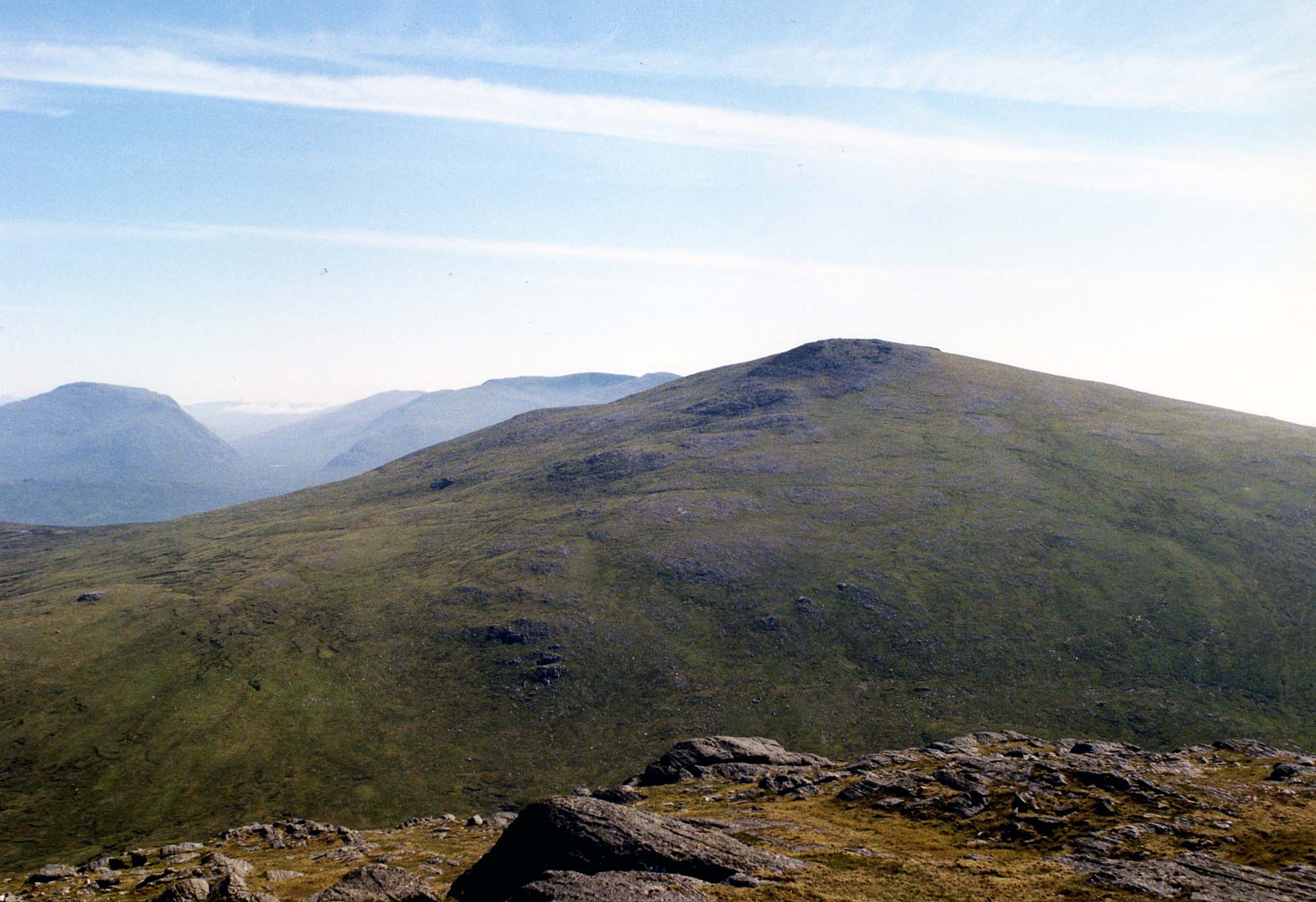
Loch Ghuilbinn Images

Images are sourced within 2km of 56.834088/-4.6003981 or Grid Reference NN4174. Thanks to Geograph Open Source API. All images are credited.

The moorland near Strathossian Strathossian house is in the trees in the middle distance.
The moorland near Strathossian
Strathossian house is in the trees in the middle distance.
The main estate road The road connects Corrour Shooting Lodge with the A86.
The main estate road
The road connects Corrour Shooting Lodge with the A86.
Looking towards the southern end of Loch Ghuilbinn
A drain under the stalkers' path
The grassy track leading to Strathossian It seems to be no longer in use.
The grassy track leading to Strathossian
It seems to be no longer in use.
Looking towards Loch Ghuilbinn
The complex drainage into Loch Ghuilbinn
Looking north along Strath Ossian
Looking towards Strathossian The house is hidden in the trees.
Looking towards Strathossian
The house is hidden in the trees.
Looking towards Sròn nan Nead
The damaged road bank Disturbed initially by road works, then washed out by water flowing down the hill. Maybe it will stabilise eventually.
The damaged road bank
Disturbed initially by road works, then washed out by water flowing down the hill. Maybe it will stabilise eventually.
Hillside and road bank
The road across the hillside
A lonely traffic cone It serves no purpose here, but is probably from the nearby quarry.
A lonely traffic cone
It serves no purpose here, but is probably from the nearby quarry.
Developing water damage Pot holes are beginning to form in the surface of the estate road.
Developing water damage
Pot holes are beginning to form in the surface of the estate road.
Looking over the moor to the forest
The road stone quarry Labelled as 'Pit' on the map.
The road stone quarry
Labelled as 'Pit' on the map.
Binnean Shuas The most visible peak is Binnean Shuas (centre) which stands on the south shore of Loch Laggan. Photographed from the track to Loch Ossian.
Binnean Shuas
The most visible peak is Binnean Shuas (centre) which stands on the south shore of Loch Laggan. Photographed from the track to Loch Ossian.
Show me another place!

Loch Ghuilbinn is located at Grid Ref: NN4174 (Lat: 56.834088, Lng: -4.6003981)

Unitary Authority: Highland

Police Authority: Highlands and Islands

What 3 Words

///windmills.turkey.arranges. Near Gairlochy, Highland

Nearby Locations

Loch Ghuilbinn

Related Wikis

Chno Dearg

Chno Dearg (Scottish Gaelic: An Crò Dearg) is a mountain in the Lochaber area of the Scottish Highlands. It overlooks Glen Spean to the north and Loch...

Aonach Beag (Ben Alder)

Aonach Beag is a 1,116-metre (3,661 ft) mountain in the Highlands of Scotland in the remote area between Loch Ericht and Loch Laggan located about 4 kilometres...

Corrour Lodge

Corrour Lodge is situated at the eastern end of Loch Ossian on the Corrour Estate on Rannoch Moor, Scotland. It is a large modernist residence (also let...

Geal-Chàrn

Geal-Chàrn (Scottish Gaelic: White Peak) is a mountain in the Highlands of Scotland, 14 kilometres North East of Corrour railway station == See also... ==

Have you been to Loch Ghuilbinn?

Leave your review of Loch Ghuilbinn below (or comments, questions and feedback).