Broad Wood

Wood, Forest in Ayrshire

Scotland

Broad Wood

Entering Coylton Coylton is a small village which straddles the A70.
Entering Coylton Credit: Malcolm Neal

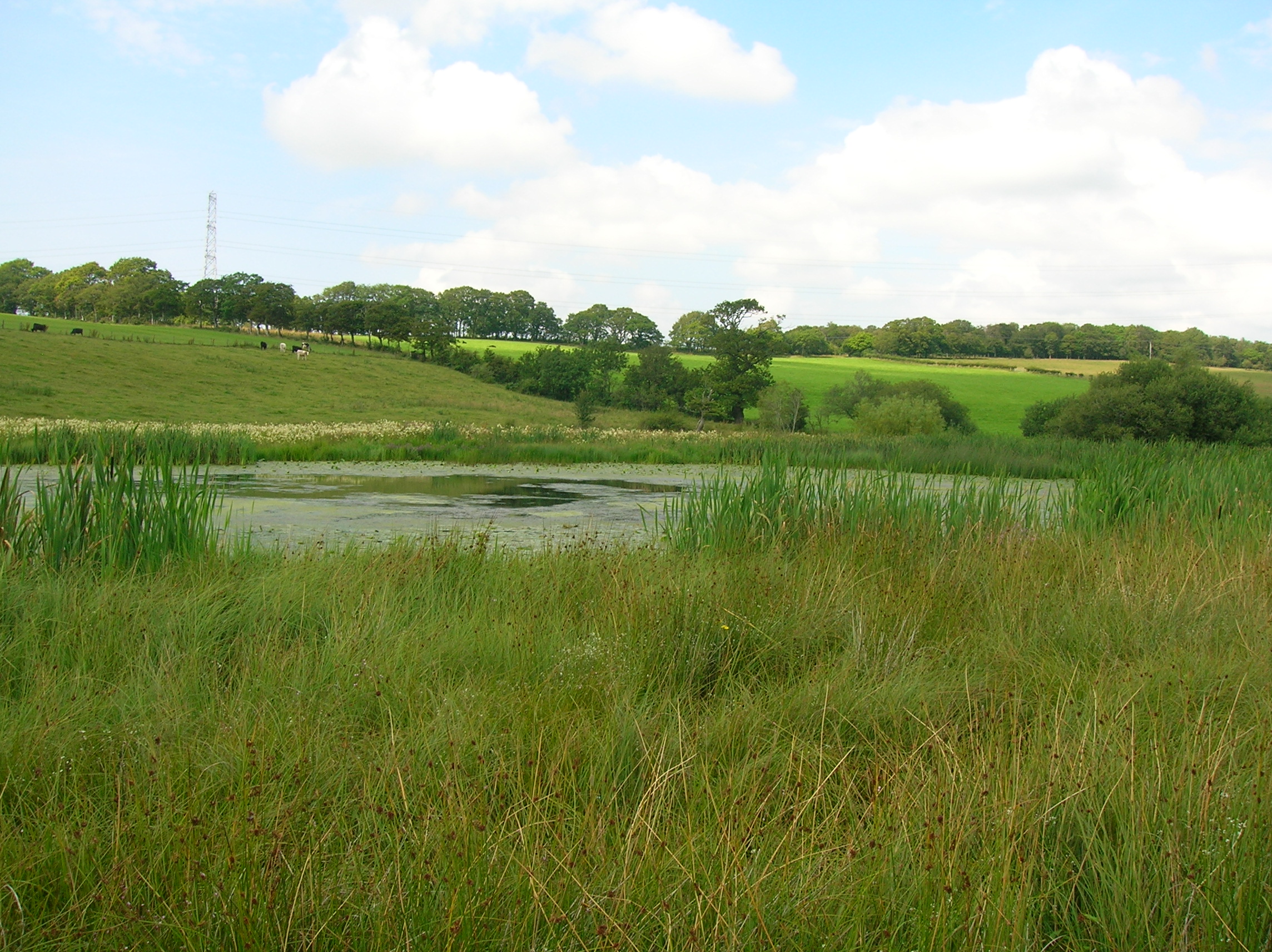
Broad Wood is a picturesque forest located in the county of Ayrshire, Scotland. It spans over a vast area and is considered one of the most significant woodlands in the region. The forest is characterized by its dense collection of trees, predominantly consisting of oak, beech, and birch, providing a rich and diverse ecosystem.

The wood is renowned for its natural beauty and has become a popular destination for nature enthusiasts and hikers alike. Its well-maintained trails offer visitors the opportunity to explore the forest, taking in the tranquil surroundings and enjoying the abundance of wildlife that inhabits the area. From deer to various bird species, the forest is a haven for animal lovers and birdwatchers.

Broad Wood also holds historical significance, with remnants of ancient settlements and burial sites dating back to prehistoric times. Archaeological excavations have uncovered artifacts that provide insight into the lives of the people who once inhabited the area centuries ago.

Moreover, the forest serves as an important ecological site, contributing to the local biodiversity and acting as a carbon sink, aiding in the fight against climate change. Efforts have been made to preserve and protect this natural treasure, ensuring its longevity for future generations to enjoy.

In conclusion, Broad Wood in Ayrshire is a captivating forest that offers visitors the chance to connect with nature, explore its rich history, and appreciate the beauty of the Scottish countryside.

If you have any feedback on the listing, please let us know in the comments section below.
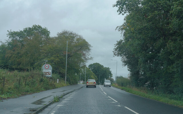
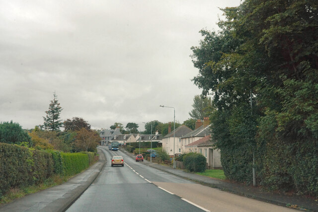
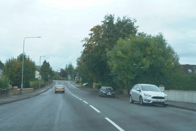
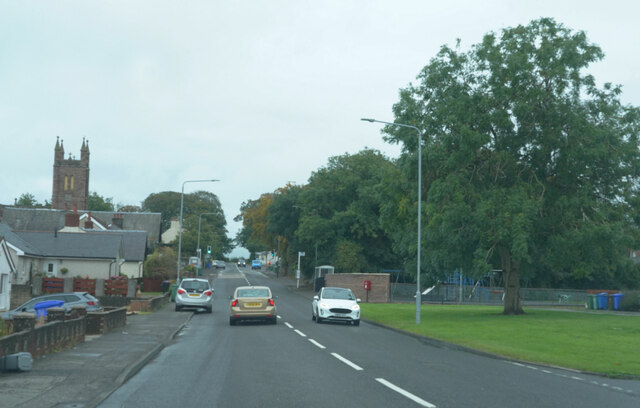
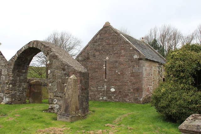
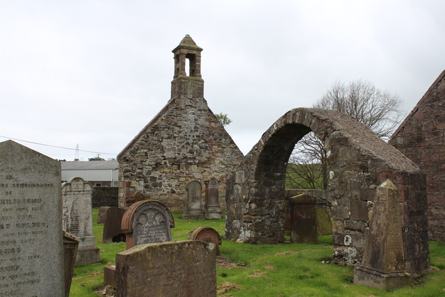
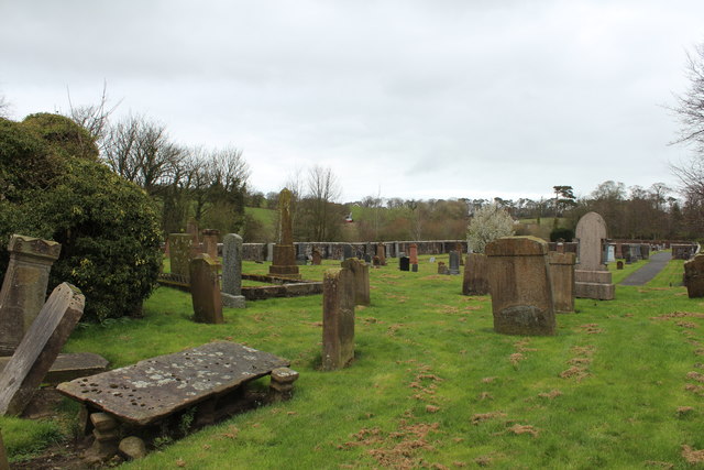
Broad Wood Images

Images are sourced within 2km of 55.455034/-4.5092534 or Grid Reference NS4120. Thanks to Geograph Open Source API. All images are credited.

Entering Coylton Coylton is a small village which straddles the A70.
Entering Coylton
Coylton is a small village which straddles the A70.
The village of Coylton Coylton appears to have fairly modern housing stock next to the A70.
The village of Coylton
Coylton appears to have fairly modern housing stock next to the A70.
The A70 This is the end of the village of Coylton as we pass through on the A70.
The A70
This is the end of the village of Coylton as we pass through on the A70.
Still in Coylton There was a little gap with no houses but this still is part of Coylton as the tower visible on the left belongs to Coylton Parish Church.
Still in Coylton
There was a little gap with no houses but this still is part of Coylton as the tower visible on the left belongs to Coylton Parish Church.
Ordnance Survey Flush Bracket G594 This can be found on the wall of Coylton Parish Church.
For more detail see : <span class="nowrap"><a title="http://www.bench-marks.org.uk/bm331" rel="nofollow ugc noopener" href="http://www.bench-marks.org.uk/bm331">Link</a><img style="margin-left:2px;" alt="External link" title="External link - shift click to open in new window" src="https://s1.geograph.org.uk/img/external.png" width="10" height="10"/></span>
Ordnance Survey Flush Bracket G594
This can be found on the wall of Coylton Parish Church. For more detail see : LinkExternal link
Coylton Parish Church Viewed from the south.
Coylton Parish Church
Viewed from the south.
Ordnance Survey Flush Bracket G4503 This can be found on the wall of a building at Holebogs (now Woodside Farm B&B).
For more detail see : <span class="nowrap"><a title="http://www.bench-marks.org.uk/bm17125" rel="nofollow ugc noopener" href="http://www.bench-marks.org.uk/bm17125">Link</a><img style="margin-left:2px;" alt="External link" title="External link - shift click to open in new window" src="https://s1.geograph.org.uk/img/external.png" width="10" height="10"/></span>
Ordnance Survey Flush Bracket G4503
This can be found on the wall of a building at Holebogs (now Woodside Farm B&B). For more detail see : LinkExternal link
Remains of Church at Low Coylton Looking north-westward.
Remains of Church at Low Coylton
Looking north-westward.
Telephone box, Colyton On Arthurston Terrace beside the A70.
Telephone box, Colyton
On Arthurston Terrace beside the A70.
Bus on Ayr Road, Coylton Ayr bound bus on the A70.
Bus on Ayr Road, Coylton
Ayr bound bus on the A70.
Old Parish Church and Graveyard, Low Coylton
Old Parish Church Graveyard, Low Coylton
The Coylton Arms
The Coylton Arms
Old Parish Church and Graveyard, Low Coylton
Show me another place!

Broad Wood is located at Grid Ref: NS4120 (Lat: 55.455034, Lng: -4.5092534)

Unitary Authority: South Ayrshire

Police Authority: Ayrshire

What 3 Words

///swooned.custodian.conjured. Near Coylton, South Ayrshire

Nearby Locations

Lochend Loch Broad Wood

Related Wikis

Sundrum Castle

Sundrum Castle is a Scottish medieval castle located 1.5 kilometres (0.93 mi) north of Coylton, South Ayrshire, by the Water of Coyle river. It was built...

Lochend Loch (Coylton)

Lochend Loch, which once had nearly three acres in surface area is now only a small freshwater loch remnant. It lies in the South Ayrshire Council Area...

Joppa, South Ayrshire

Joppa is a former hamlet in South Ayrshire, Scotland, about one mile (1.5 kilometres) which now forms the eastern portion of the built-up part of Coylton...

Gadgirth Old Ha'

The castle known as Gadgirth Old Ha' or Gadgirth Old Hall, was the first castle at Gadgirth, held by the Chalmer family, standing on a whinstone promontory...

Nearby Amenities

Located within 500m of 55.455034,-4.5092534
Power: tower
Lat/Long: 55.4520365/-4.507773
Power: tower
Lat/Long: 55.4512866/-4.5127311
Power: pole
Lat/Long: 55.4555155/-4.5024848
Power: pole
Lat/Long: 55.4553087/-4.5030078
Power: pole
Lat/Long: 55.4550562/-4.5036516
Power: pole
Lat/Long: 55.4546121/-4.5048773
Power: pole
Lat/Long: 55.4539489/-4.5065001
Power: pole
Lat/Long: 55.4541345/-4.5070606
Power: pole
Lat/Long: 55.4540128/-4.5084849
Power: pole
Lat/Long: 55.4537573/-4.509936
Power: pole
Lat/Long: 55.4534926/-4.5113039
Power: pole
Lat/Long: 55.4532325/-4.5126584
Power: pole
Lat/Long: 55.452974/-4.5140103
Power: pole
Lat/Long: 55.4520142/-4.5144314
Power: pole
Lat/Long: 55.452256/-4.5132029
Power: pole
Lat/Long: 55.4524127/-4.5119342
Power: pole
Lat/Long: 55.4525709/-4.5106441
Power: pole
Lat/Long: 55.4529025/-4.5079967
Power: pole
Lat/Long: 55.4530531/-4.506771
Power: pole
Lat/Long: 55.4531747/-4.5058
Power: pole
Lat/Long: 55.4532919/-4.5047432
Power: pole
Lat/Long: 55.4534288/-4.5036355
Power: pole
Lat/Long: 55.453555/-4.5025331
Power: pole
Lat/Long: 55.4567499/-4.5019313
The data included in this document is from www.openstreetmap.org. The data is made available under ODbL.

Have you been to Broad Wood?

Leave your review of Broad Wood below (or comments, questions and feedback).