Melin Gwna
Lake, Pool, Pond, Freshwater Marsh in Anglesey
Wales
Melin Gwna
The requested URL returned error: 429 Too Many Requests
If you have any feedback on the listing, please let us know in the comments section below.
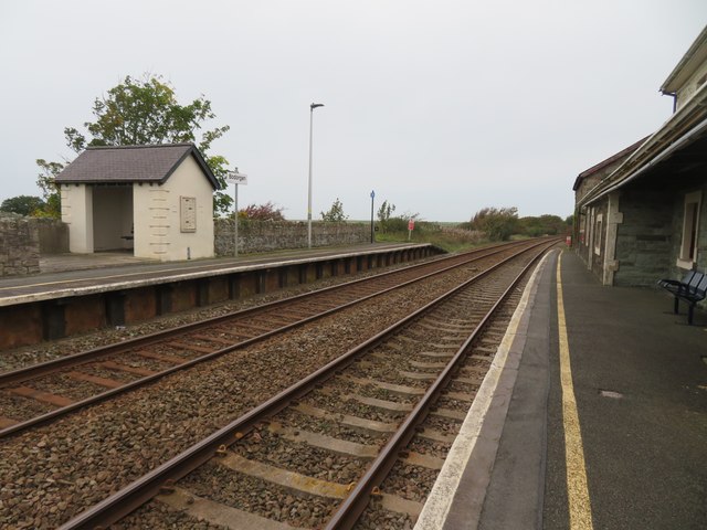
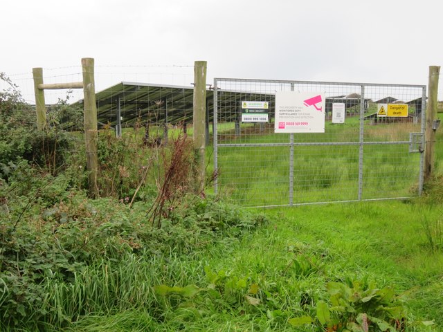
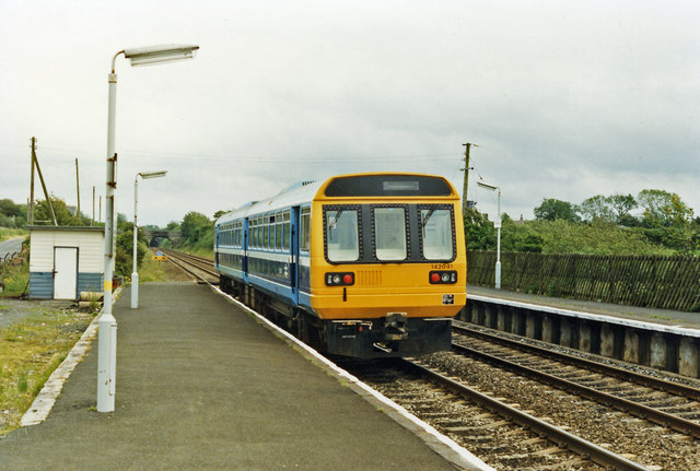
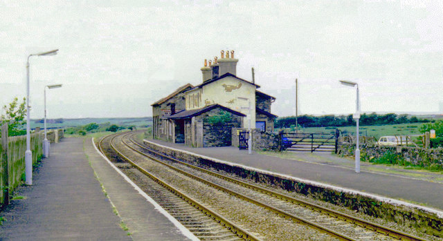
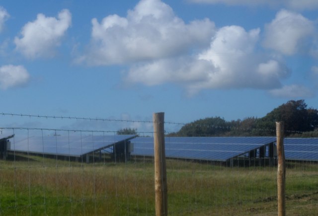
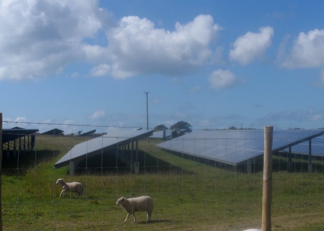
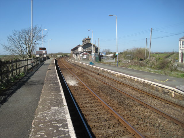
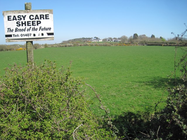
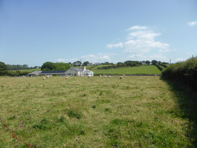
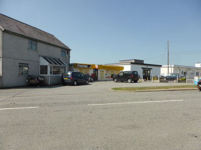
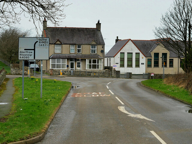
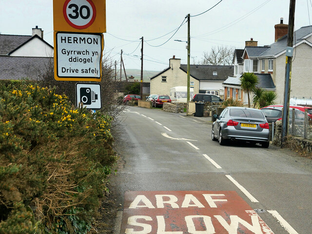
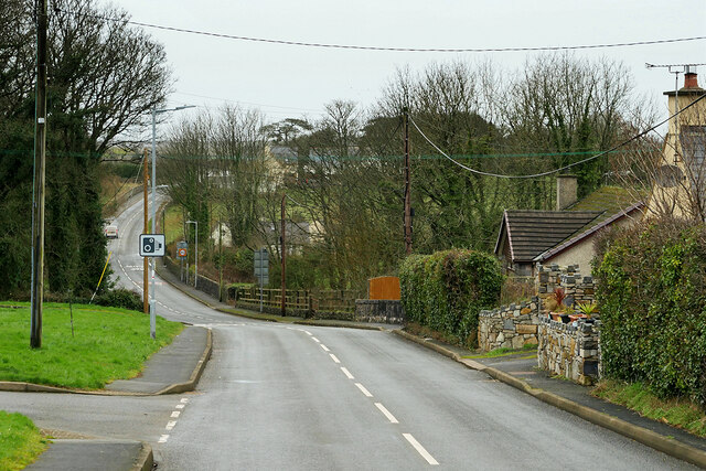
Melin Gwna Images
Images are sourced within 2km of 53.204612/-4.4194732 or Grid Reference SH3870. Thanks to Geograph Open Source API. All images are credited.
Melin Gwna is located at Grid Ref: SH3870 (Lat: 53.204612, Lng: -4.4194732)
Unitary Authority: Isle of Anglesey
Police Authority: North Wales
What 3 Words
///retailing.easily.rumble. Near Rhosneigr, Isle of Anglesey
Nearby Locations
Related Wikis
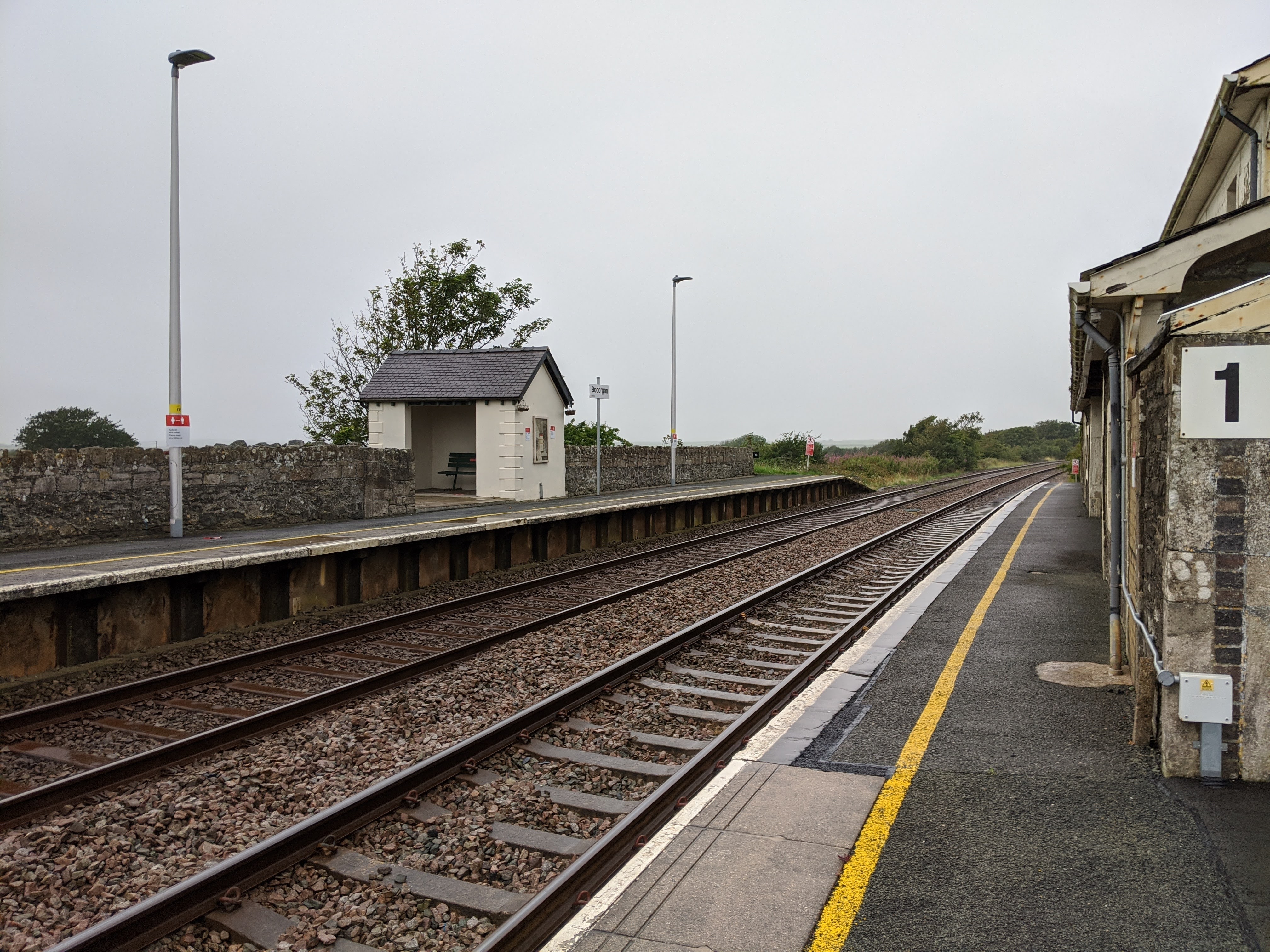
Bodorgan railway station
Bodorgan railway station serves the hamlet of Bodorgan and the village of Bethel on the Isle of Anglesey, Wales. The stop is an unmanned halt, and serves...

St Cadwaladr's Church, Llangadwaladr
St Cadwaladr's Church (Welsh: Eglwys Ael) is a Grade I listed church in Llangadwaladr, Anglesey. The location of the current church was established in...
Llangadwaladr
Llangadwaladr () is a small village in south-west Anglesey, Wales, located around 2 miles east of Aberffraw and 3 miles south of Gwalchmai. It is part...
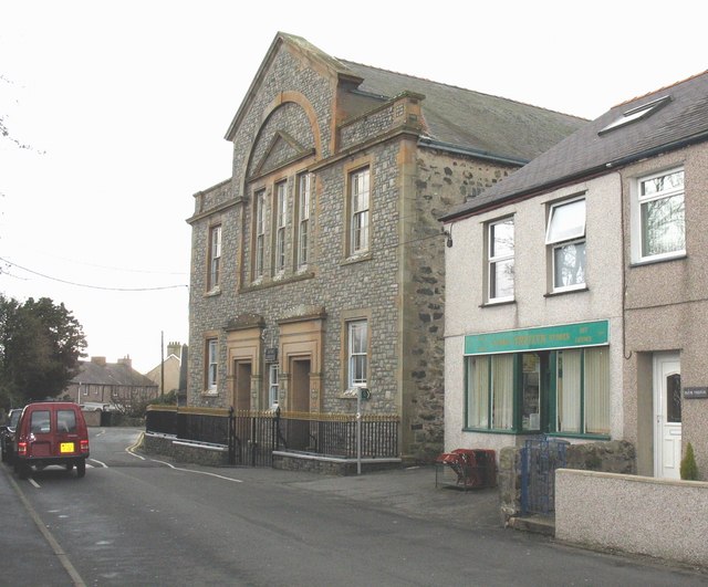
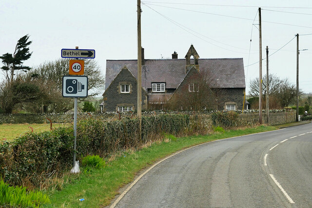
Bethel, Anglesey
Bethel is a relatively small and quiet village set centrally within the wider community and larger Parish of Bodorgan. The village is located inland (approximately...
Nearby Amenities
Located within 500m of 53.204612,-4.4194732Have you been to Melin Gwna?
Leave your review of Melin Gwna below (or comments, questions and feedback).