Loch Bad na h-Achlaise

Lake, Pool, Pond, Freshwater Marsh in Sutherland

Scotland

Loch Bad na h-Achlaise

Creag na Faoilinn
Creag na Faoilinn Credit: Michael Garlick

The requested URL returned error: 429 Too Many Requests

If you have any feedback on the listing, please let us know in the comments section below.

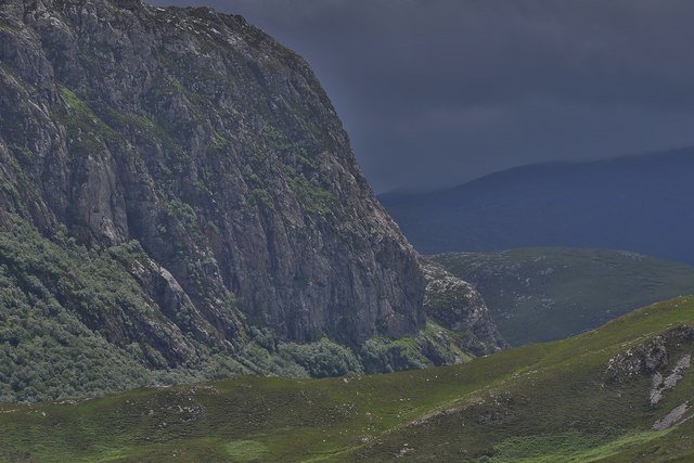
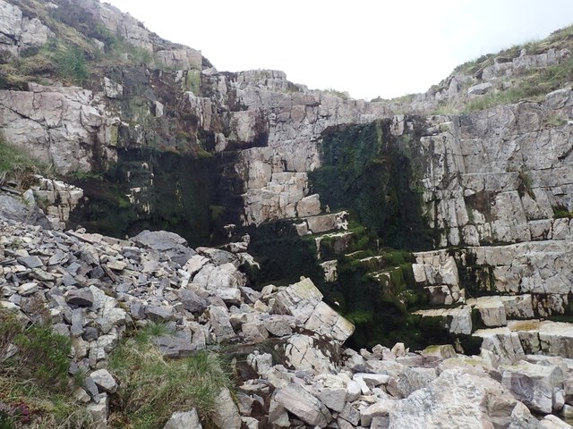
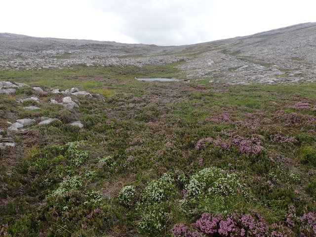
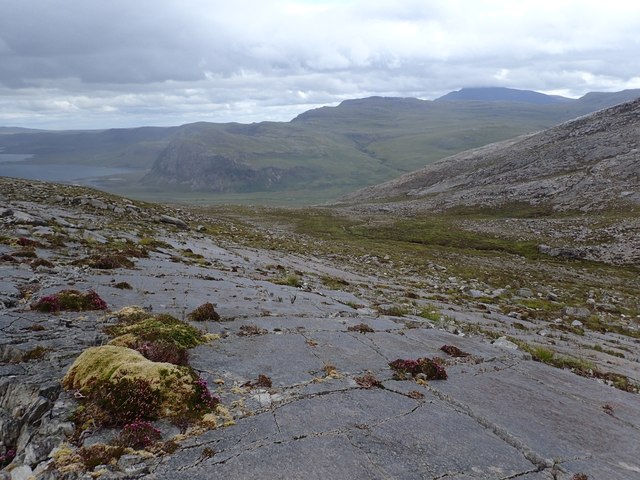
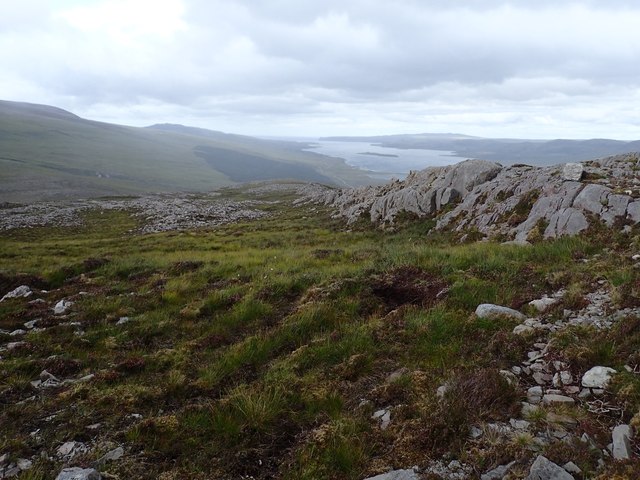
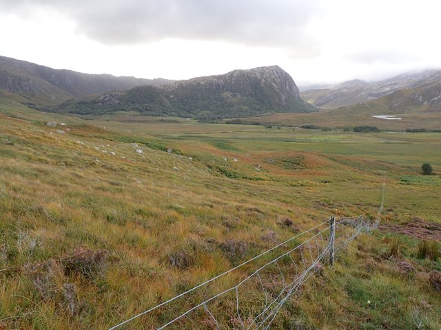
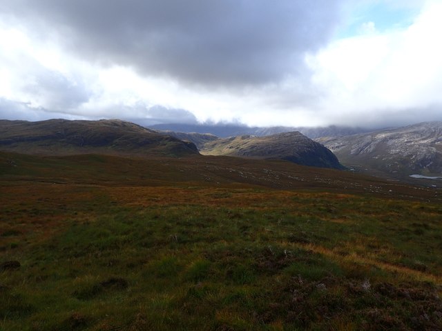
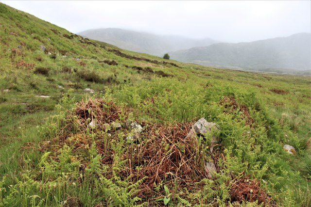
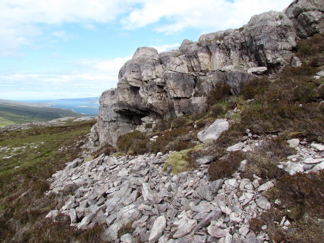
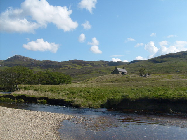
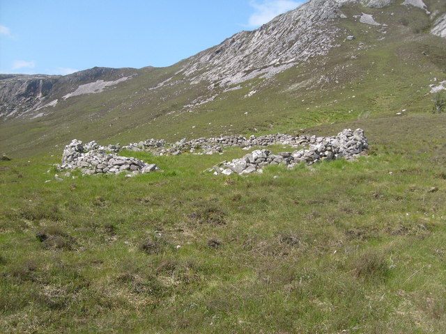
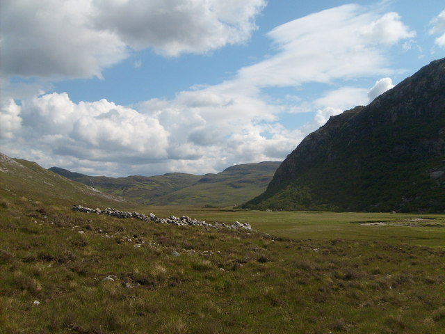
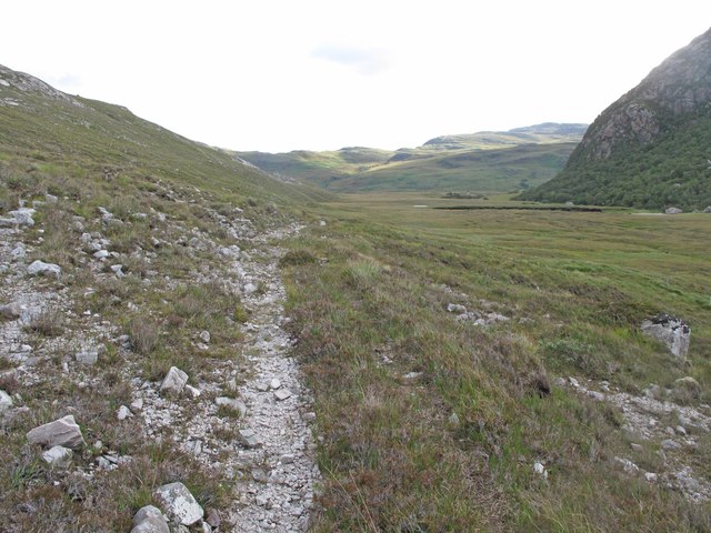
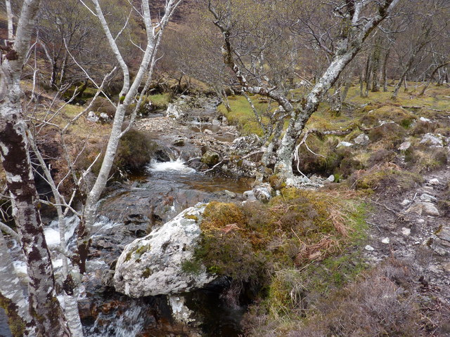
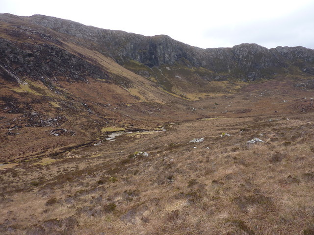
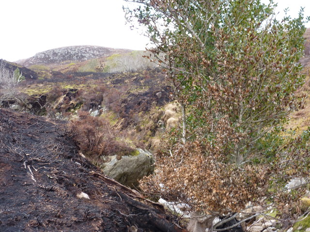
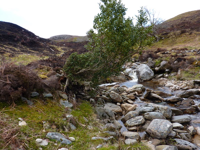
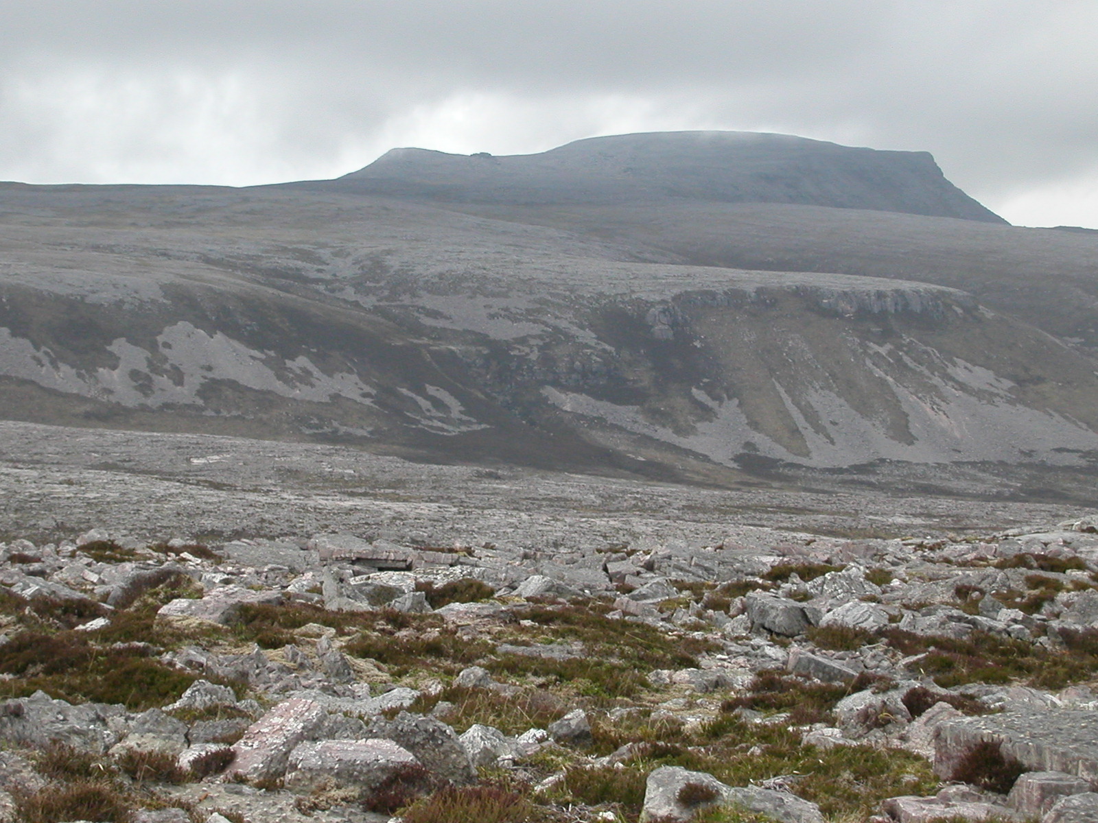
Loch Bad na h-Achlaise Images

Images are sourced within 2km of 58.42622/-4.7668267 or Grid Reference NC3851. Thanks to Geograph Open Source API. All images are credited.

Creag na Faoilinn
Creag na Faoilinn
Mossy Cliff This dark green moss against the pale rock shows up from quite a distance.
Mossy Cliff
This dark green moss against the pale rock shows up from quite a distance.
White Heather in front of Small Lochan It was very rocky around here, with occasional patches of heathery grass. This small lochan is not marked on the map; there are several others in the area.
White Heather in front of Small Lochan
It was very rocky around here, with occasional patches of heathery grass. This small lochan is not marked on the map; there are several others in the area.
Rock Slabs on SE Slopes of Cranstackie There were large slabs of pipe rock around here and a lot of juniper around the rocks. Loch Eriboll and Creag na Faoilinn in the distance.
Rock Slabs on SE Slopes of Cranstackie
There were large slabs of pipe rock around here and a lot of juniper around the rocks. Loch Eriboll and Creag na Faoilinn in the distance.
Gulley Between Lines of Rock Grass and heather grew between the impressive lines of rock leading down the ridge towards Polla. Loch Eriboll in the distance.
Gulley Between Lines of Rock
Grass and heather grew between the impressive lines of rock leading down the ridge towards Polla. Loch Eriboll in the distance.
Fence Leading Down to Srath Beag Below can be seen a walled enclosure and, in the distance, the Strabeg bothy under Creag Shomhairle.
Fence Leading Down to Srath Beag
Below can be seen a walled enclosure and, in the distance, the Strabeg bothy under Creag Shomhairle.
Storm Brewing over Creag Shomhairle
Rough country on the way to Strabeg
Skolithos-rich Cambrian quartzites, Cranstackie Skolithos is a trace fossil worm burrow which occurs in truly amazing numbers in the Cambrian quartzites on NW Scotland.  The grey screes at the end of the ridge are above Creag nan Gobhar.
Skolithos-rich Cambrian quartzites, Cranstackie
Skolithos is a trace fossil worm burrow which occurs in truly amazing numbers in the Cambrian quartzites on NW Scotland. The grey screes at the end of the ridge are above Creag nan Gobhar.
Strabeg bothy Taken after fording Srath Beag on the way to Foinaven
Strabeg bothy
Taken after fording Srath Beag on the way to Foinaven
The old road Large circular sheepfold and mountain pass on the way to Foinaven
The old road
Large circular sheepfold and mountain pass on the way to Foinaven
Circular sheepfold near Strath Coille na Fearna On the way to Foinaven, Stabeg bothy can be seen in the distance at the foot of Creag Shomhairle.
Circular sheepfold near Strath Coille na Fearna
On the way to Foinaven, Stabeg bothy can be seen in the distance at the foot of Creag Shomhairle.
Old Road in Srath Coille na Fearna A continuation of the old track which starts at the Kyle of Durness and crosses the Bealach Mor to Loch Eriboll.
Old Road in Srath Coille na Fearna
A continuation of the old track which starts at the Kyle of Durness and crosses the Bealach Mor to Loch Eriboll.
A bonny spot in the burn, S.E. of Strabeg Bothy
The upper section of the burn above the gorge, and the cliffs of Creag a' Chairn Chaoruinn
In Strath Beag One of the tributaries of the main river. In the distance is Cranstackie.
In Strath Beag
One of the tributaries of the main river. In the distance is Cranstackie.
A wee burn, muir burning and a scorched holly tree
A holly tree by Allt na Craoibheruinn The strange shape is because the left hand side has been cut off, probably as a result of being scorched by an out-of-control heather fire.
A holly tree by Allt na Craoibheruinn
The strange shape is because the left hand side has been cut off, probably as a result of being scorched by an out-of-control heather fire.
Show me another place!

Loch Bad na h-Achlaise is located at Grid Ref: NC3851 (Lat: 58.42622, Lng: -4.7668267)

Unitary Authority: Highland

Police Authority: Highlands and Islands

What 3 Words

///condition.scored.arriving. Near Oldshoremore, Highland

Related Wikis

Loch Dionard

Loch Dionard is a medium-sized loch in the Durness Parish, in Sutherland, Highland Council Area, Northern Scotland. It is in the North-Western Highlands...

Cranstackie

Cranstackie is a mountain of 802 metres (2,631 ft) in Sutherland, the northwestern tip of the Scottish Highlands. It is a Corbett located west of Loch...

Beinn Spionnaidh

Beinn Spionnaidh is a mountain of 773 m in Sutherland, the northwestern tip of the Scottish Highlands. It is a Corbett located west of Loch Eriboll and...

Eriboll

Eriboll (Scottish Gaelic: Earabol) is a village in Sutherland, Scotland. The village is situated on the south eastern shore of Loch Eriboll, in the northern...

Have you been to Loch Bad na h-Achlaise?

Leave your review of Loch Bad na h-Achlaise below (or comments, questions and feedback).