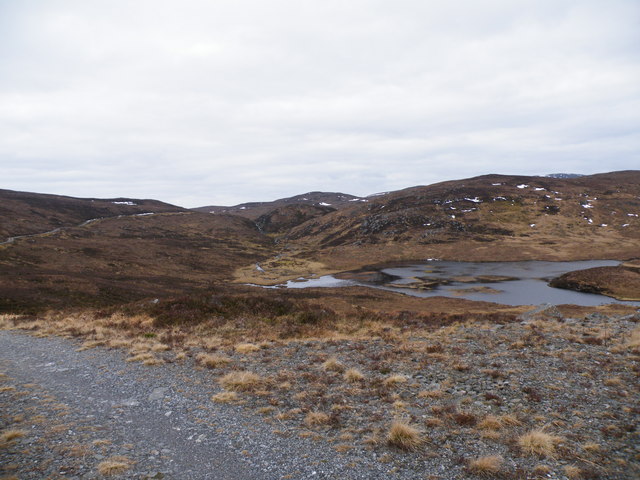
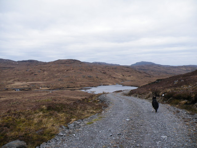
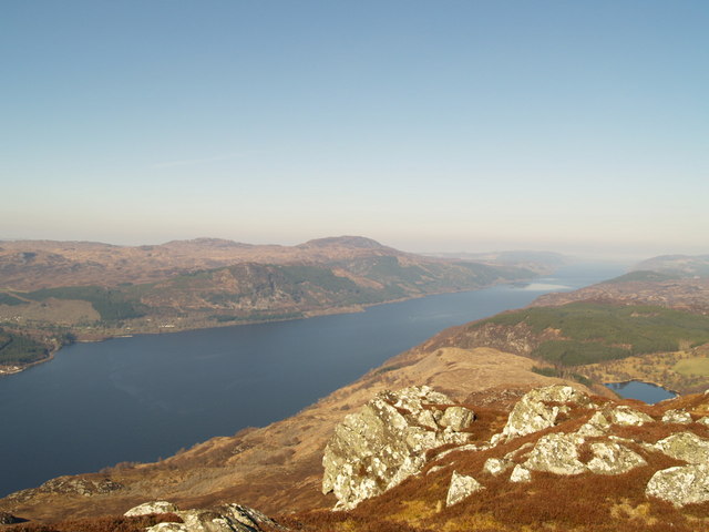
Loch Carn Tarsuinn Beag
Lake, Pool, Pond, Freshwater Marsh in Inverness-shire
Scotland
Loch Carn Tarsuinn Beag
The requested URL returned error: 429 Too Many Requests
If you have any feedback on the listing, please let us know in the comments section below.
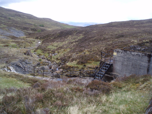
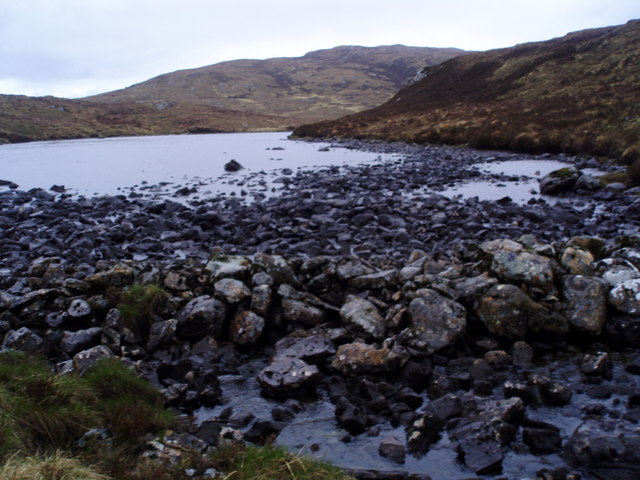
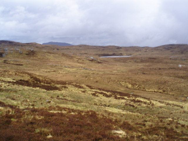
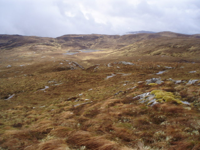
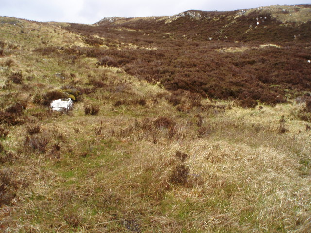
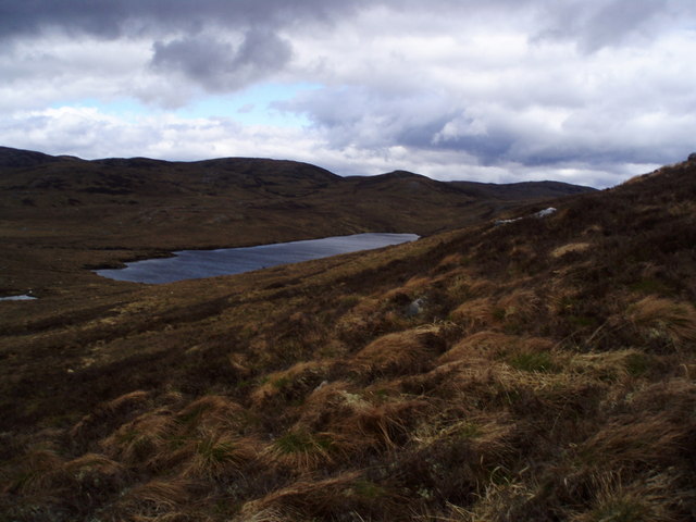
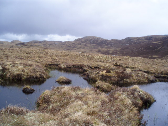
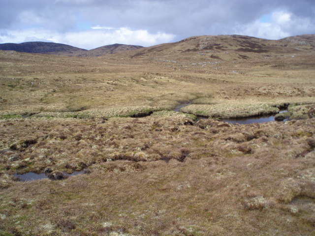
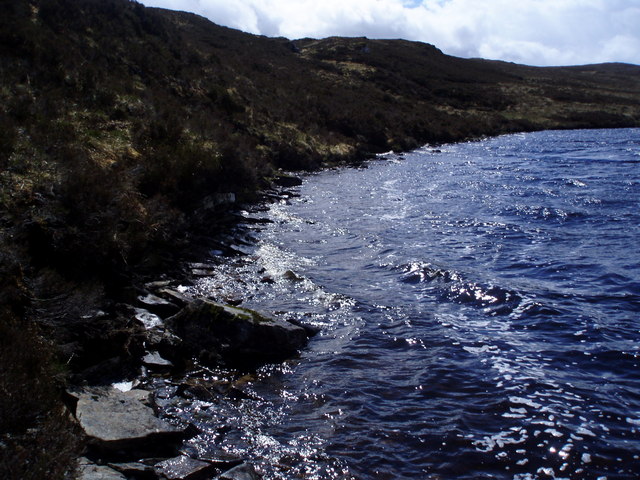
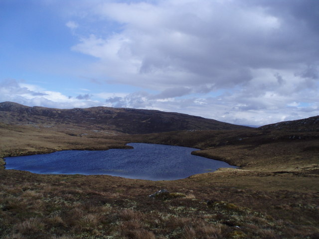
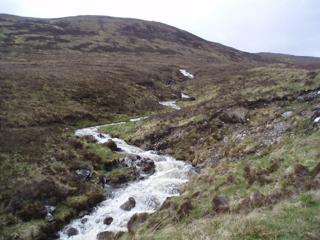
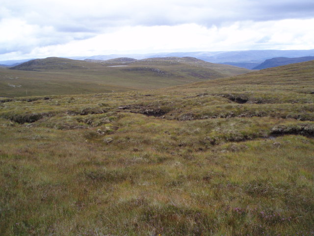
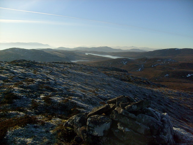
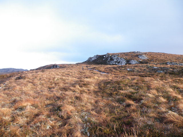
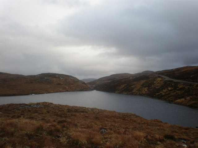
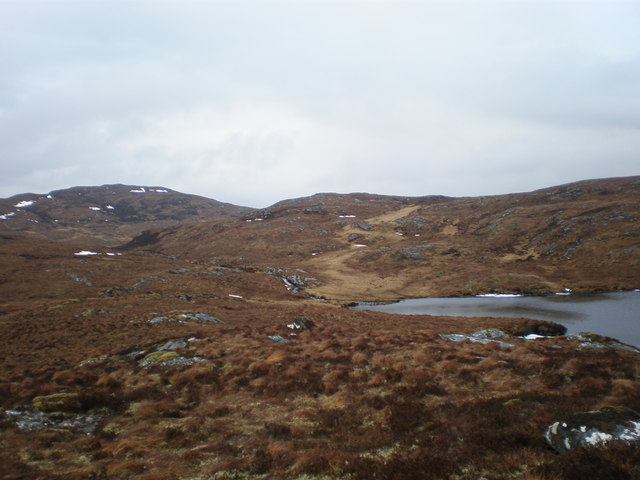
Loch Carn Tarsuinn Beag Images
Images are sourced within 2km of 57.2428/-4.6780116 or Grid Reference NH3820. Thanks to Geograph Open Source API. All images are credited.
Loch Carn Tarsuinn Beag is located at Grid Ref: NH3820 (Lat: 57.2428, Lng: -4.6780116)
Unitary Authority: Highland
Police Authority: Highlands and Islands
What 3 Words
///misted.illogical.puddings. Near Cannich, Highland
Nearby Locations
Related Wikis

Achnaconeran
Achnaconeran is a remote crofting settlement in the Inverness committee area of Highland and is in the Scottish council area of Highland. Achnaconeran...

Loch a' Bhainne
Loch a' Bhainne is a small, upland freshwater loch approximately 2 miles (3.2 km) north of the east end of Loch Garry and 3.5 miles (5.6 km) north-west...
Invermoriston
Invermoriston (Inbhir Mhoireastain in Gaelic) (grid reference NH420167) is a small village 11 kilometres (7 miles) north of Fort Augustus, Highland, Scotland...

River Moriston
The River Moriston (Scottish Gaelic: Abhainn Mhoireastain) is a river in Inverness-shire, Scotland. It flows broadly east-north-east from the outfall of...
Nearby Amenities
Located within 500m of 57.2428,-4.6780116Have you been to Loch Carn Tarsuinn Beag?
Leave your review of Loch Carn Tarsuinn Beag below (or comments, questions and feedback).