Aldinna Loch
Lake, Pool, Pond, Freshwater Marsh in Ayrshire
Scotland
Aldinna Loch
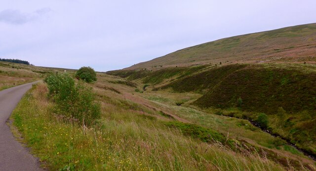
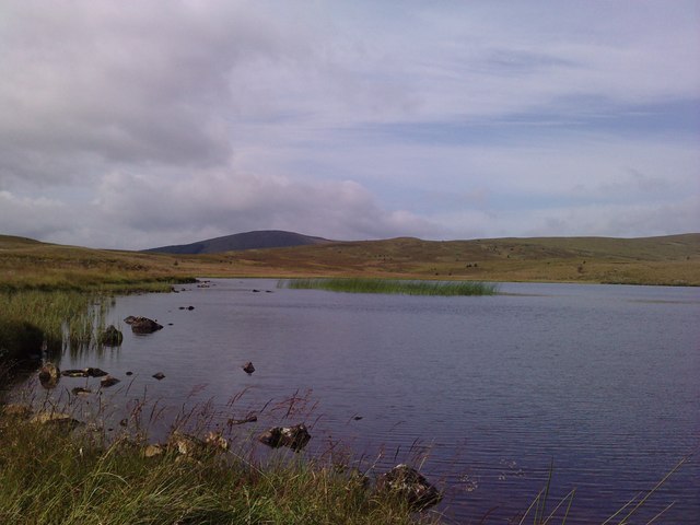
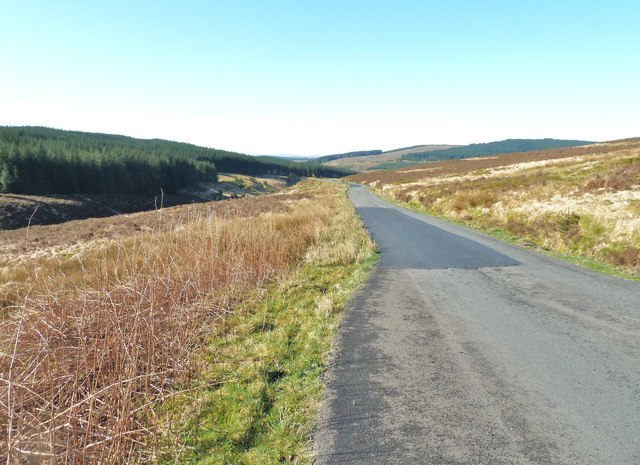
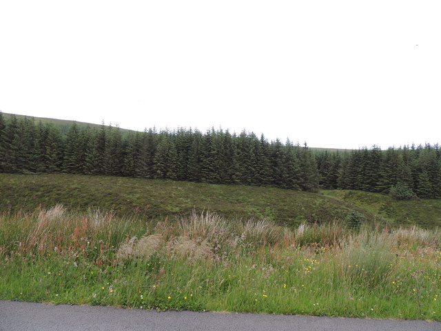
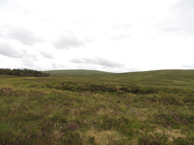
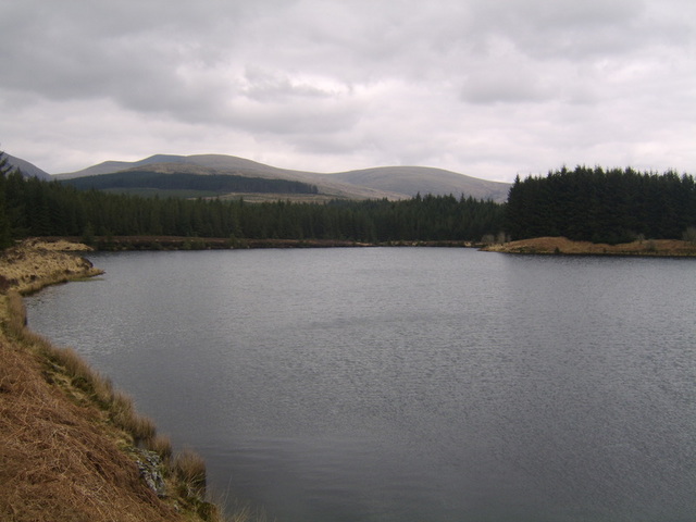
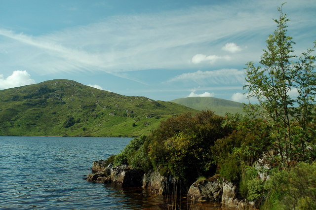
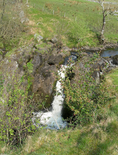
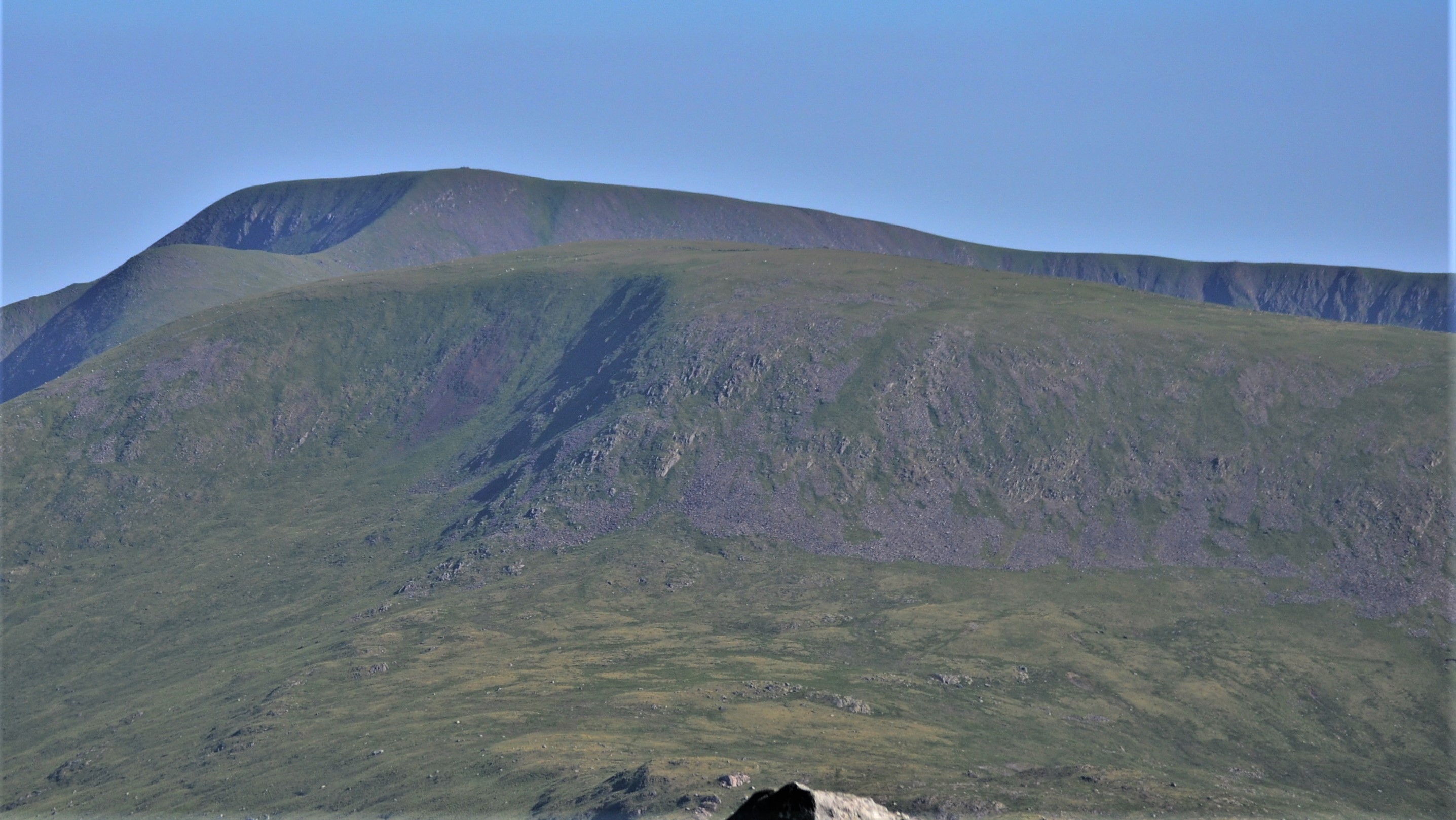
Aldinna Loch is a picturesque freshwater loch located in Ayrshire, Scotland. Situated amidst rolling hills and lush greenery, it is a popular destination for nature enthusiasts and tourists seeking tranquility and natural beauty. The loch covers an area of approximately 10 acres and is fed by several small streams that flow from the surrounding hills.
With its crystal clear waters, Aldinna Loch is home to a diverse range of aquatic life. Fish such as brown trout and pike can be found in abundance, making it a favorite spot for anglers. The shallow edges of the loch are also rich in vegetation, providing a habitat for various species of waterfowl, including ducks, swans, and geese.
Surrounding the loch is a freshwater marsh, which acts as a natural filter, purifying the water and maintaining its clarity. This marsh is a haven for a wide range of plant and animal species, including reeds, rushes, and sedges, as well as dragonflies, frogs, and otters.
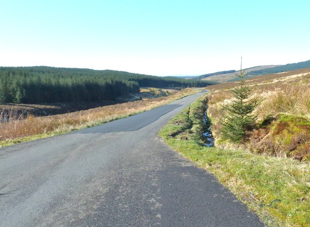
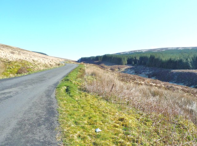
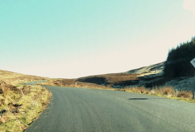
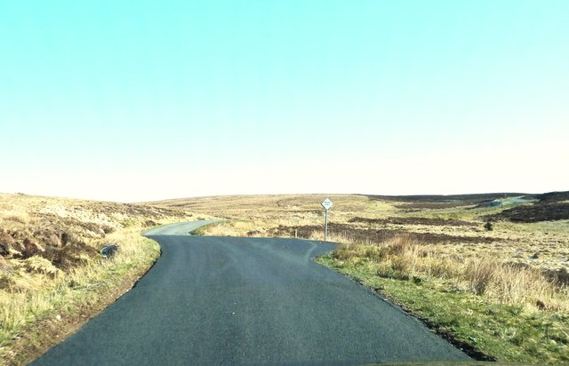
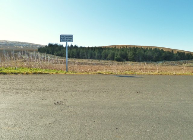
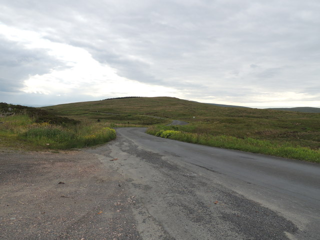
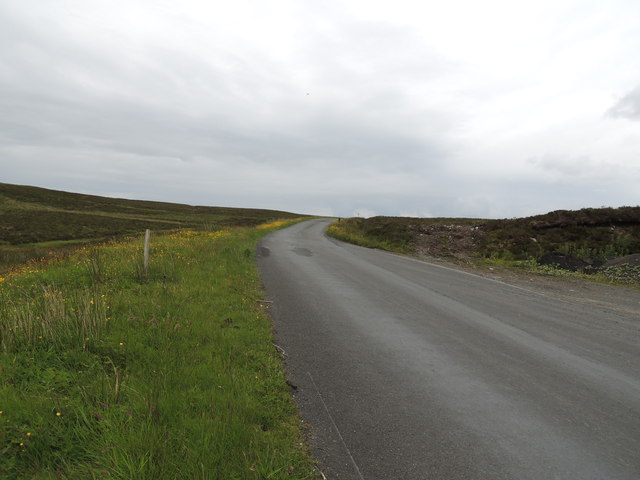
Aldinna Loch offers a peaceful environment for visitors to relax and enjoy the scenic beauty of the Scottish countryside. It is a perfect spot for picnics, birdwatching, and leisurely walks along its banks. The surrounding area also offers fantastic opportunities for hiking and exploring the nearby trails and woodland.
Overall, Aldinna Loch in Ayrshire is a hidden gem, providing a sanctuary of tranquility and natural beauty for both locals and tourists alike.
If you have any feedback on the listing, please let us know in the comments section below.
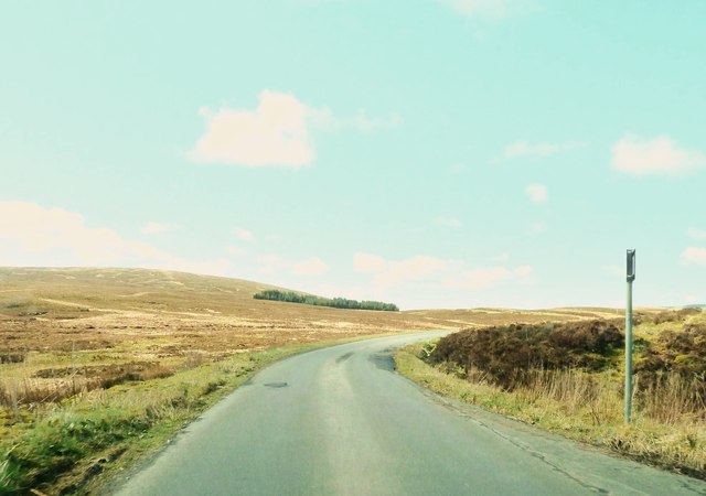
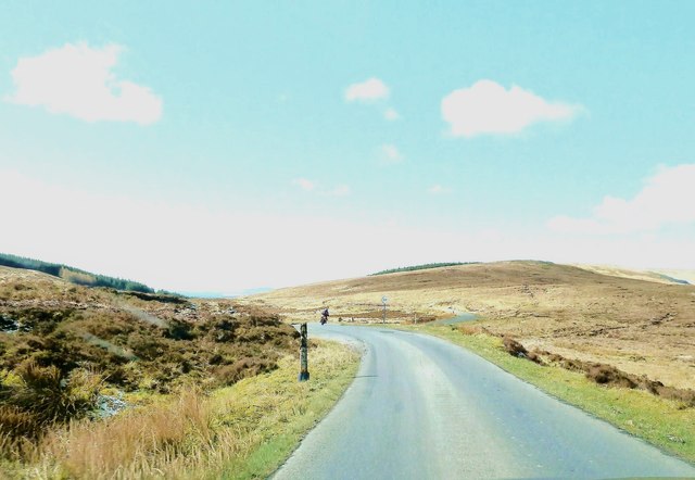
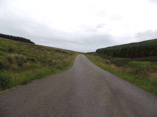
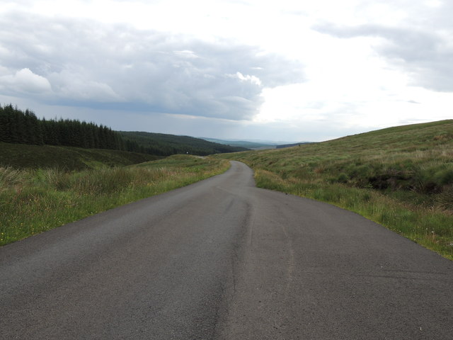
Aldinna Loch Images
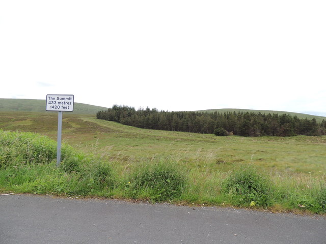
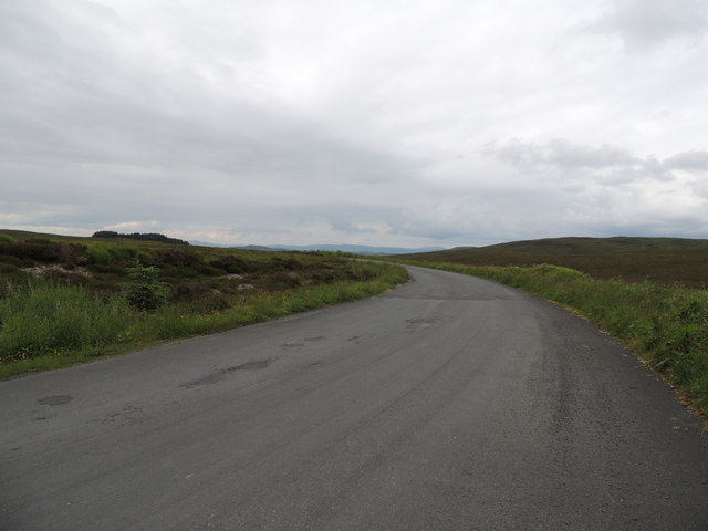
Images are sourced within 2km of 55.212045/-4.5708083 or Grid Reference NX3693. Thanks to Geograph Open Source API. All images are credited.
Aldinna Loch is located at Grid Ref: NX3693 (Lat: 55.212045, Lng: -4.5708083)
Unitary Authority: South Ayrshire
Police Authority: Ayrshire
What 3 Words
///september.ambushes.scariest. Near Bellsbank, East Ayrshire
Nearby Locations
Related Wikis

Stinchar Falls
Stinchar Falls is a waterfall of Scotland. It is located on the Stinchar Burn, east of Barr in Ayrshire. == See also == Waterfalls of Scotland == References ==

Shalloch on Minnoch
Shalloch on Minnoch is a hill in the Range of the Awful Hand, a sub-range of the Galloway Hills range, part of the Southern Uplands of Scotland. It is...

Loch Brecbowie
Loch Brecbowie is a Scottish loch located in the Ayrshire region, near the town of Girvan.The small, freshwater loch contains four small islands. It is...
Kirriereoch Loch
Kirriereoch Loch is a small, shallow, square shaped, freshwater loch in Dumfries and Galloway, in the Southern Uplands of south-west Scotland. It lies...
Loch Macaterick
Loch Macaterick is a loch in East Ayrshire, Scotland within Galloway Forest Park and Merrick Kells SSSI. The loch is situated to the north of Macaterick...
Tairlaw Linn
Tairlaw Linn is a waterfall of Scotland, near Straiton, South Ayrshire. == See also == Waterfalls of Scotland == References ==
Kirriereoch Hill
Kirriereoch Hill is a hill in the Range of the Awful Hand, a sub-range of the Galloway Hills range, part of the Southern Uplands of Scotland. It lies on...

Drunmore Linn
Drunmore Linn is a waterfall of Scotland, near Straiton, South Ayrshire. == See also == Waterfalls of Scotland == References ==
Have you been to Aldinna Loch?
Leave your review of Aldinna Loch below (or comments, questions and feedback).