Loch na' Sgarbh
Lake, Pool, Pond, Freshwater Marsh in Ross-shire
Scotland
Loch na' Sgarbh
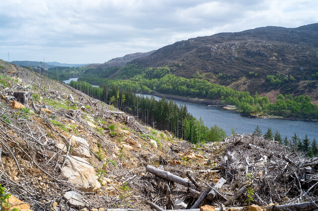
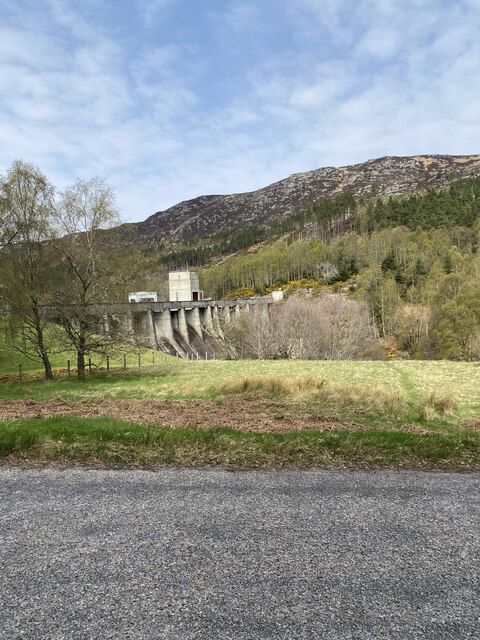
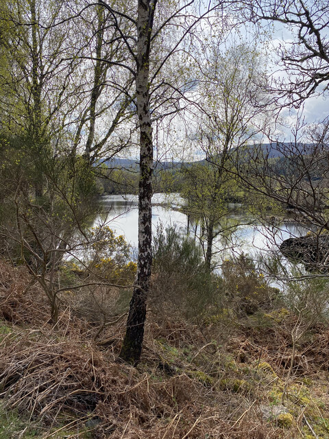
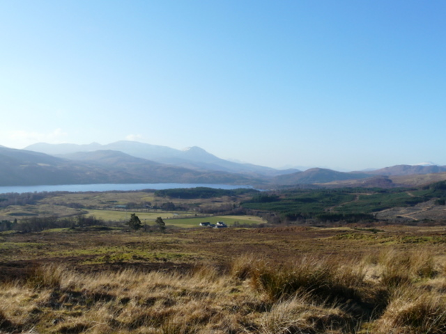
Loch na' Sgarbh is a picturesque freshwater loch located in the county of Ross-shire, in the Scottish Highlands. It is situated within the rugged and scenic landscape of Wester Ross, near the village of Gairloch. The loch stretches over an area of approximately 500 acres and has a maximum depth of around 30 meters.
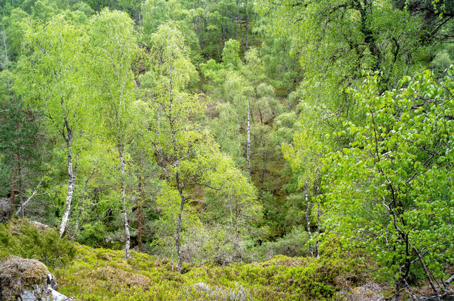
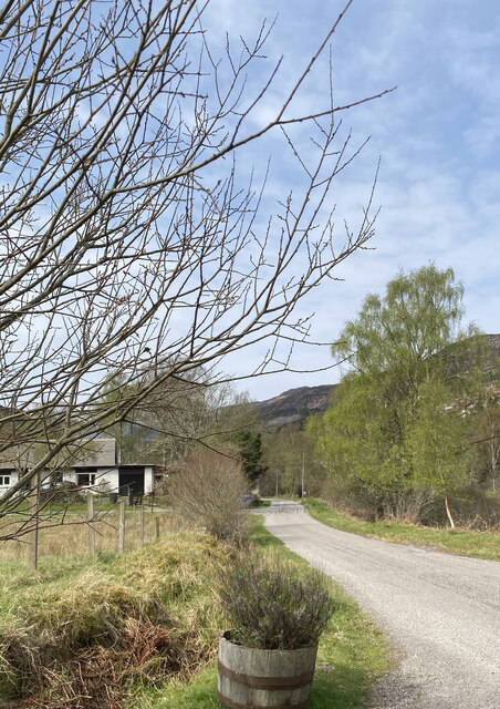
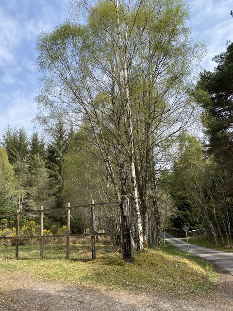
Surrounded by rolling hills and heather-covered moorland, Loch na' Sgarbh offers breathtaking views and a tranquil atmosphere to visitors. The loch is easily accessible by road, with a small car park nearby, making it a popular destination for locals and tourists alike.
The loch is renowned for its diverse wildlife and is a haven for birdwatchers. It is home to a variety of bird species, including the red-throated diver, whooper swans, and golden eagles. The surrounding wetlands and marshes provide an ideal habitat for these birds, as well as other waterfowl and wading birds.
Fishing is also a popular activity on Loch na' Sgarbh, with anglers attracted by the abundance of brown trout and the occasional salmon. The loch's crystal-clear waters and peaceful surroundings make it an ideal spot for a day of fishing.
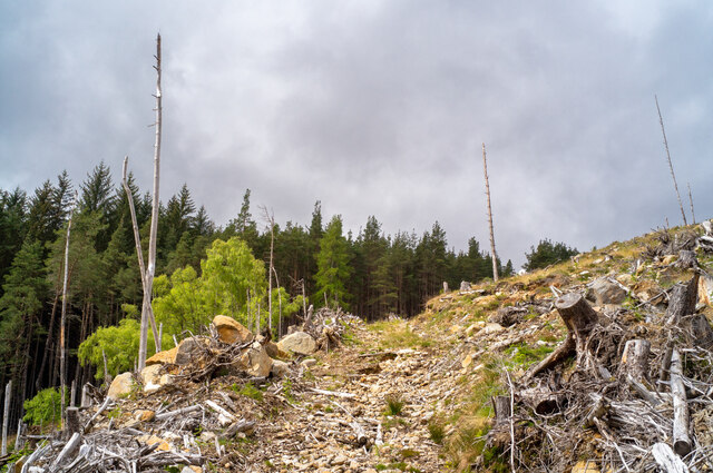
For those looking to explore the area further, there are several walking trails and viewpoints around Loch na' Sgarbh, offering stunning vistas of the loch and the surrounding landscape. Visitors can also enjoy picnicking by the water's edge or simply taking in the serenity of the loch.
Overall, Loch na' Sgarbh is a hidden gem within the Scottish Highlands, offering a peaceful retreat and a chance to connect with nature in a truly breathtaking setting.
If you have any feedback on the listing, please let us know in the comments section below.
Loch na' Sgarbh Images
Images are sourced within 2km of 57.571861/-4.7349496 or Grid Reference NH3656. Thanks to Geograph Open Source API. All images are credited.


Loch na' Sgarbh is located at Grid Ref: NH3656 (Lat: 57.571861, Lng: -4.7349496)
Unitary Authority: Highland
Police Authority: Highlands and Islands
What 3 Words
///voters.hardens.greed. Near Strathpeffer, Highland
Nearby Locations
Related Wikis

Garve railway station
Garve railway station is a railway station on the Kyle of Lochalsh Line, serving the village of Garve in the north of Scotland. Garve is located at the...

Garve
Garve (Scottish Gaelic: Gairbh) is a village on the Black Water river, in Ross-shire, and is in the Highland Council area of Scotland. It is situated 5...
Gorstan
Gorstan (Scottish Gaelic: An Goirtean) is a small hamlet in Garve, Ross-shire region in the Scottish council area of Highland. == References ==

A832 road
The A832 is a road in the Scottish Highlands, linking Cromarty, on the east coast, to Gairloch on the west coast, and beyond Gairloch to Braemore Junction...

Loch Achilty
Loch Achilty is a large picturesque lowland freshwater loch set within a sloping birch and oakwood forest, and located near to Contin in Ross-shire, Scottish...
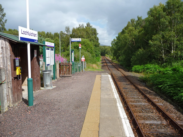
Lochluichart railway station
Lochluichart railway station is a railway station on the Kyle of Lochalsh Line, serving the village of Lochluichart in the north of Scotland. The station...

Grudie
Grudie (Grùididh in Scottish Gaelic) is a village, situated between Loch a' Chuilinn and Loch Luichart with the River Bran flowing past Grudie east to...
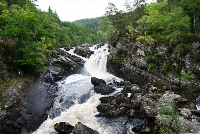
Rogie Falls
Rogie Falls (Gaelic: Eas Rothagaidh) are a series of waterfalls on the Black Water, a river in Ross-shire in the Highlands of Scotland. The falls are about...
Have you been to Loch na' Sgarbh?
Leave your review of Loch na' Sgarbh below (or comments, questions and feedback).