Merkland Loch
Lake, Pool, Pond, Freshwater Marsh in Ayrshire
Scotland
Merkland Loch
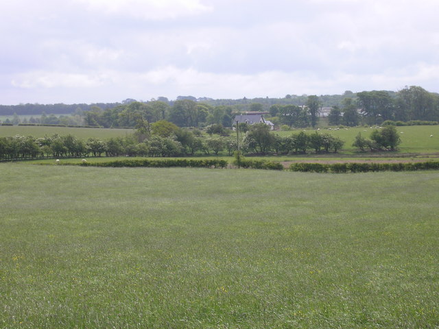
Merkland Loch is a picturesque freshwater loch located in Ayrshire, Scotland. This serene water body is nestled amidst rolling hills and lush greenery, offering a tranquil setting for visitors seeking a peaceful retreat. With an area of approximately 7 hectares, it is neither too large nor too small, making it an ideal spot for various recreational activities.
The loch is characterized by its crystal-clear waters, which are teeming with a diverse range of aquatic flora and fauna. The shores of Merkland Loch are lined with reeds and rushes, creating a vibrant freshwater marsh ecosystem. This marshland provides a habitat for numerous bird species, including herons, swans, and ducks, making it a popular destination for birdwatchers.
The surrounding landscape boasts a rich biodiversity, with the loch serving as a crucial water source for various wildlife species. Anglers also frequent Merkland Loch, as it is known for its healthy fish population, including brown trout and perch.
Visitors to the loch can enjoy a range of activities, from fishing to boating. The calm and peaceful atmosphere makes it an ideal spot for canoeing or kayaking, allowing visitors to explore the loch's hidden corners and observe the abundant wildlife.
Merkland Loch is easily accessible, with convenient parking facilities nearby. Its natural beauty and tranquil ambiance make it a popular destination for nature enthusiasts, photographers, and anyone seeking a peaceful escape in the heart of Ayrshire.
If you have any feedback on the listing, please let us know in the comments section below.
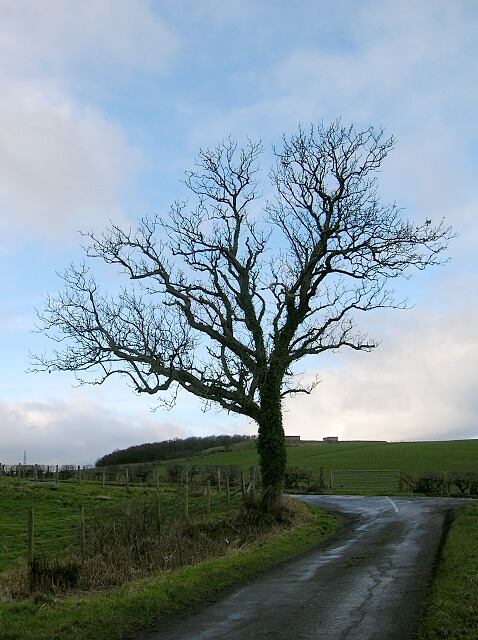
Merkland Loch Images
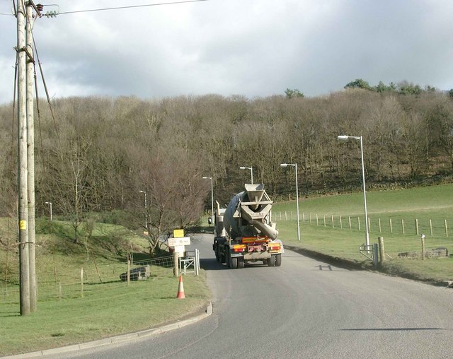
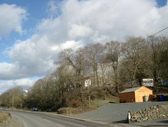
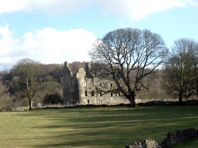
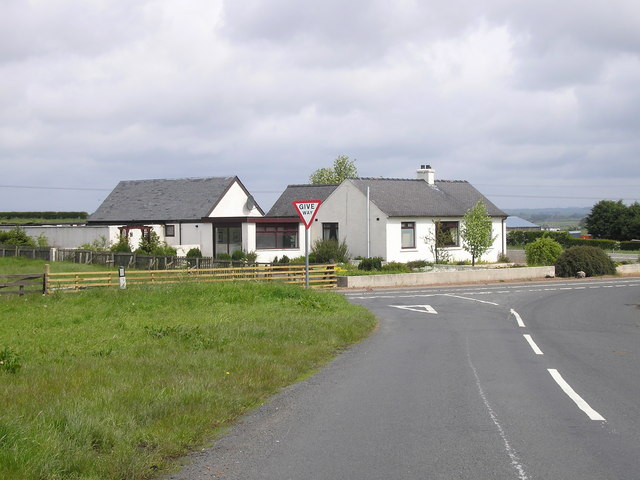
Images are sourced within 2km of 55.568915/-4.6036972 or Grid Reference NS3533. Thanks to Geograph Open Source API. All images are credited.

Merkland Loch is located at Grid Ref: NS3533 (Lat: 55.568915, Lng: -4.6036972)
Unitary Authority: South Ayrshire
Police Authority: Ayrshire
What 3 Words
///coarser.pupils.sour. Near Dundonald, South Ayrshire
Nearby Locations
Related Wikis

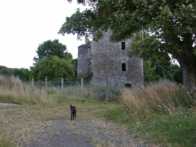
Kemp Law Dun
Kemp Law Dun is a vitrified fort dating from the Iron Age situated near the town of Dundonald in South Ayrshire, Scotland. The remains of the Iron Age...
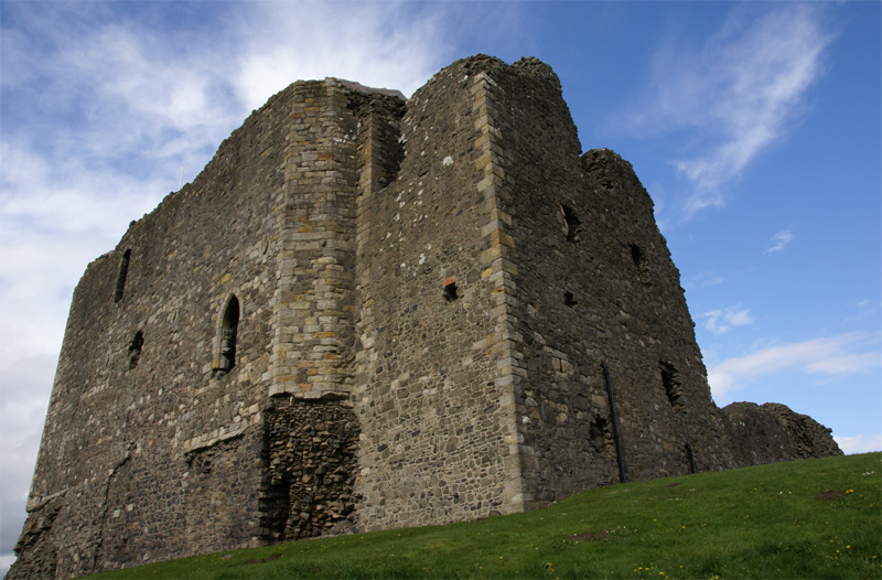
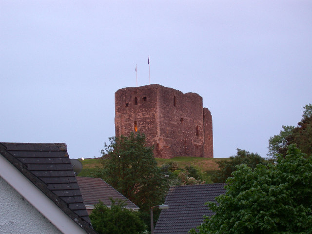
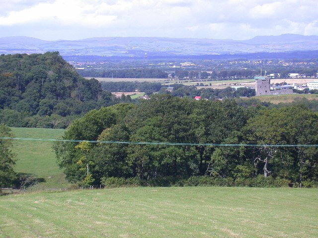
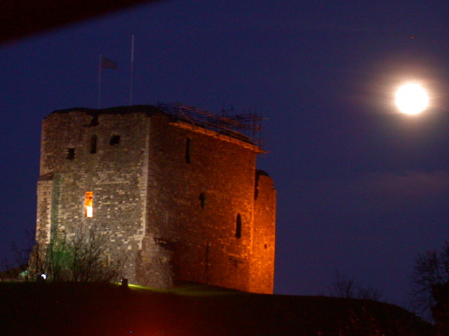
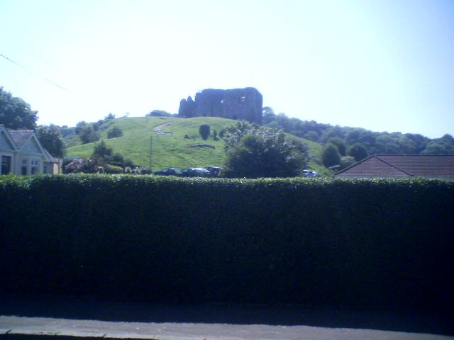
Dundonald Castle
Dundonald Castle is situated on a hill overlooking the village of Dundonald, between Kilmarnock and Troon in South Ayrshire, Scotland. Dundonald Castle...
Dundonald, South Ayrshire
Dundonald (Gaelic: Dùn Dhòmhnaill) is a village in South Ayrshire, Scotland. == The village == The village is mostly known for Dundonald Castle, which...

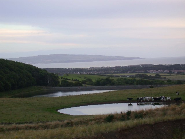
Galrigs Loch (South Ayrshire)
The Galrigs Loch was a substantial freshwater loch situated in low lying area between Newfield and Dundonald in South Ayrshire, Scotland. It was drained...
Nearby Amenities
Located within 500m of 55.568915,-4.6036972Have you been to Merkland Loch?
Leave your review of Merkland Loch below (or comments, questions and feedback).