Kemp Law
Hill, Mountain in Ayrshire
Scotland
Kemp Law
Kemp Law, located in Ayrshire, Scotland, is a prominent hill that stands at an elevation of approximately 335 meters (1,099 feet). It is situated within the picturesque landscape of the Southern Uplands, providing breathtaking views of the surrounding countryside. Kemp Law is positioned about 7 kilometers (4 miles) northeast of the town of Dirleton and to the south of the village of Humbie.
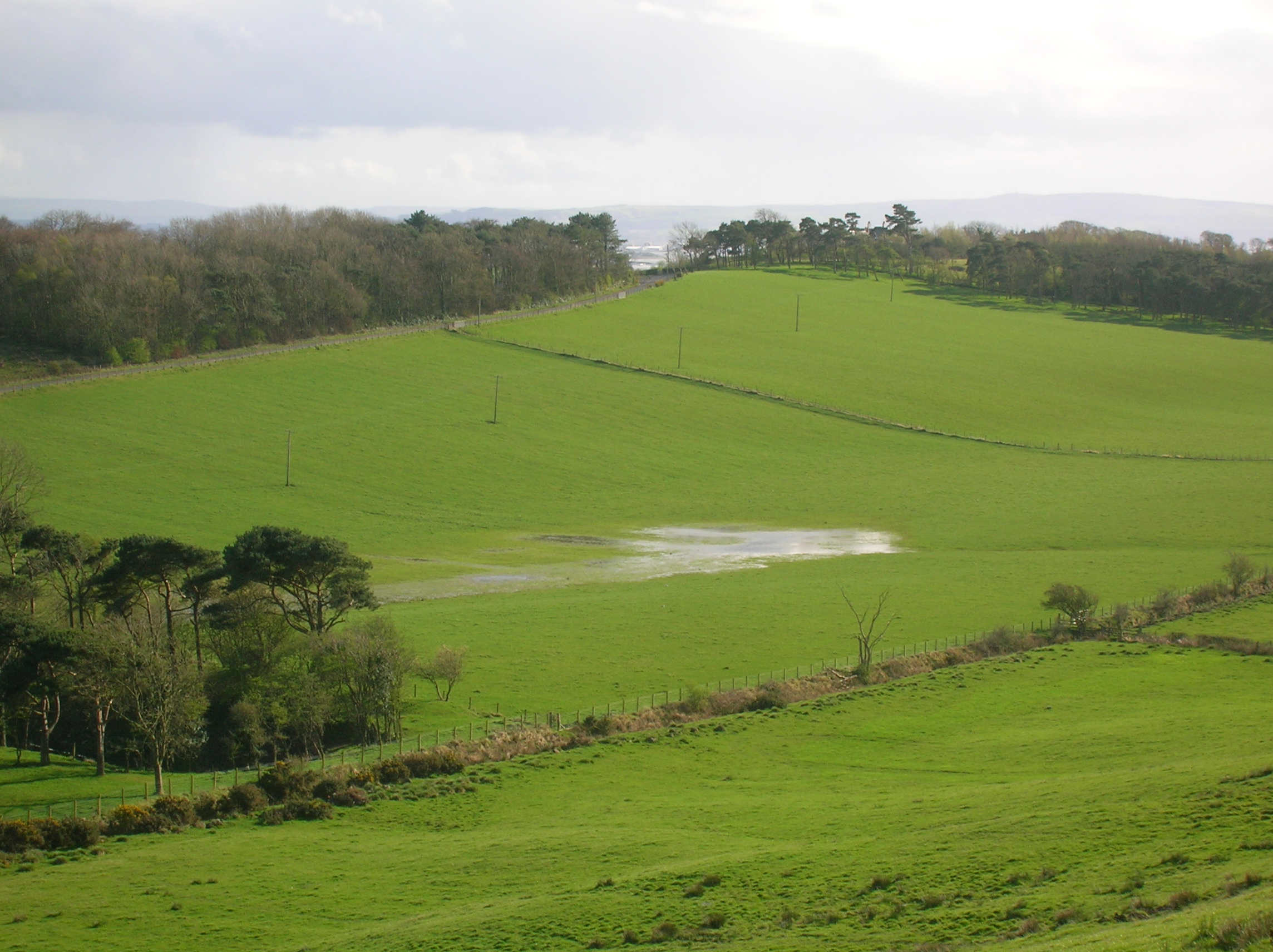
The hill's distinctive shape and prominent position make it a popular destination for outdoor enthusiasts and hikers. A well-established walking trail leads up to the summit, which offers panoramic vistas of the rolling hills, lush green fields, and charming villages that dot the region. On a clear day, it is possible to see as far as the Firth of Forth and the coast of East Lothian.
The terrain of Kemp Law is primarily grassy, with heather and other low-lying vegetation covering its slopes. The hill is part of a designated Site of Special Scientific Interest (SSSI) due to its rich biodiversity and the presence of rare plant species.
The name "Kemp Law" is believed to have Gaelic origins, with "Kemp" meaning "crest" or "summit" and "Law" referring to a small hill. This nomenclature accurately describes the hill's prominent position and its role as a landmark in the surrounding area.
Overall, Kemp Law in Ayrshire stands as a natural gem, offering both locals and visitors an opportunity to immerse themselves in the beauty of Scotland's countryside and enjoy the tranquility of its surroundings.
If you have any feedback on the listing, please let us know in the comments section below.
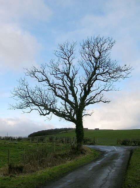
Kemp Law Images
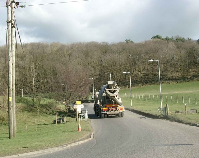
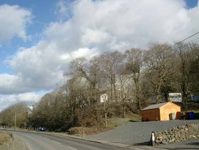
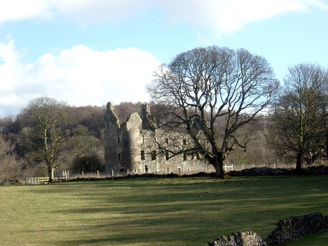
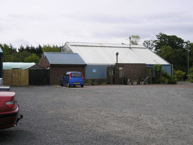
Images are sourced within 2km of 55.567945/-4.6108347 or Grid Reference NS3533. Thanks to Geograph Open Source API. All images are credited.


Kemp Law is located at Grid Ref: NS3533 (Lat: 55.567945, Lng: -4.6108347)
Unitary Authority: South Ayrshire
Police Authority: Ayrshire
What 3 Words
///shuttle.initiates.cowering. Near Dundonald, South Ayrshire
Nearby Locations
Related Wikis

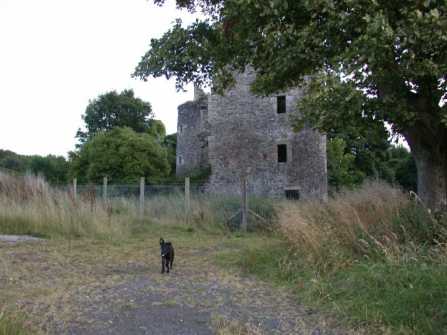
Kemp Law Dun
Kemp Law Dun is a vitrified fort dating from the Iron Age situated near the town of Dundonald in South Ayrshire, Scotland. The remains of the Iron Age...
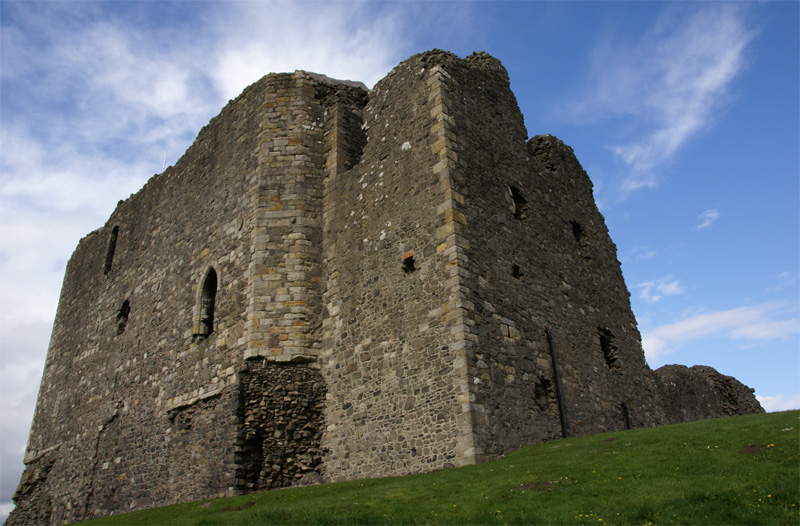
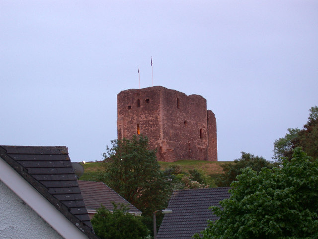
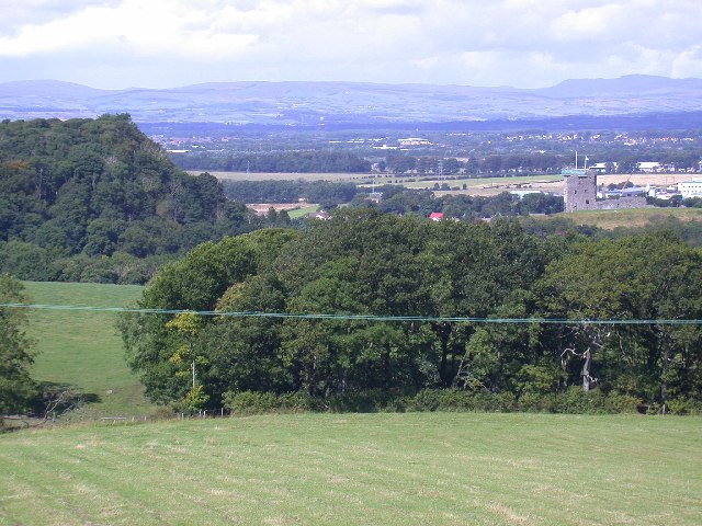
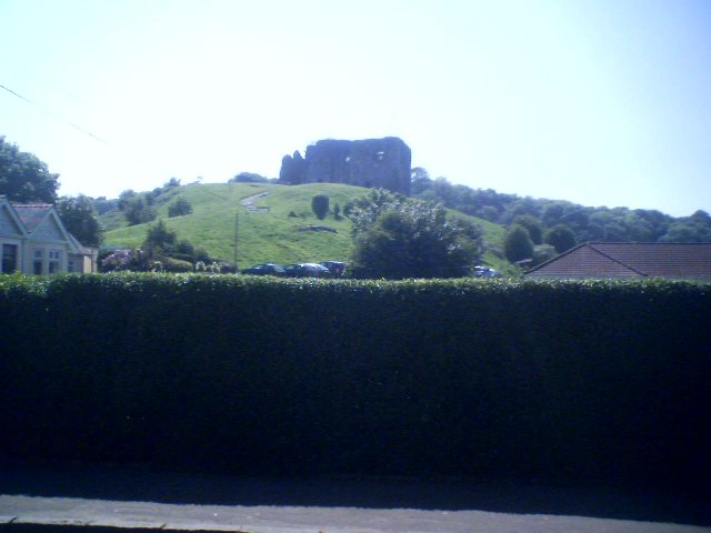
Dundonald Castle
Dundonald Castle is situated on a hill overlooking the village of Dundonald, between Kilmarnock and Troon in South Ayrshire, Scotland. Dundonald Castle...
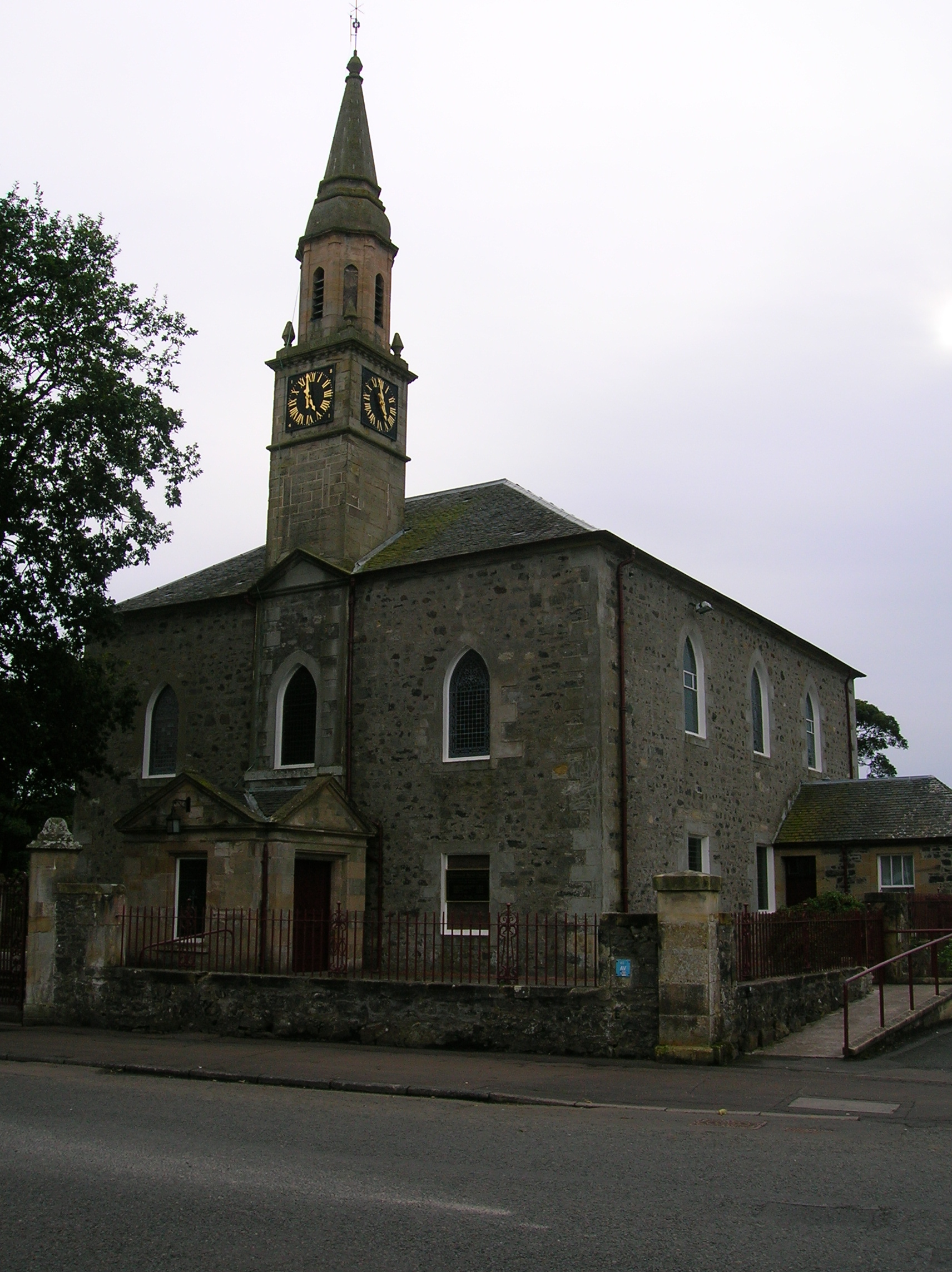
Dundonald, South Ayrshire
Dundonald (Gaelic: Dùn Dhòmhnaill) is a village in South Ayrshire, Scotland. == The village == The village is mostly known for Dundonald Castle, which...
Clevens Loch, Ayrshire
Clevens Loch was a substantial freshwater loch situated in a low-lying area below Clevance Farm and Langholm Farm in Dundonald parish, South Ayrshire,...
Nearby Amenities
Located within 500m of 55.567945,-4.6108347Have you been to Kemp Law?
Leave your review of Kemp Law below (or comments, questions and feedback).