Asker Reservoir

Lake, Pool, Pond, Freshwater Marsh in Dunbartonshire

Scotland

Asker Reservoir

Preparations for fence-building This is the eastern corner of the woodland that is shown on the map; large parts of it had recently been cleared: <a href="https://www.geograph.org.uk/photo/4458355">NS3680 : Cleared north-eastern margin of woods</a>.

The Firth of Clyde can be seen in the left background.
Preparations for fence-building Credit: Lairich Rig

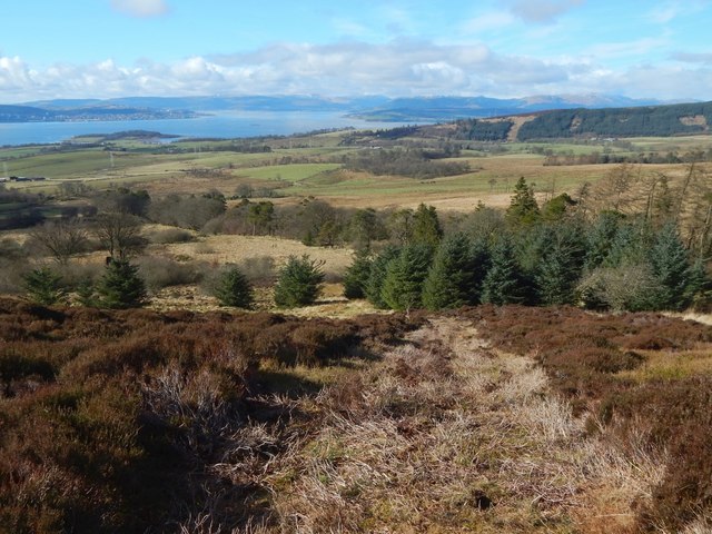
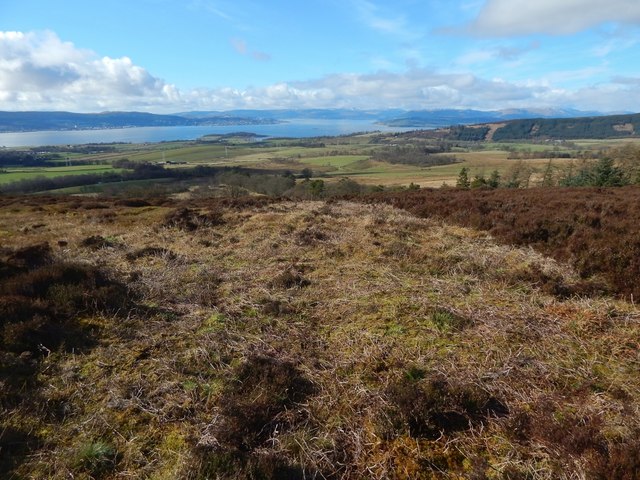
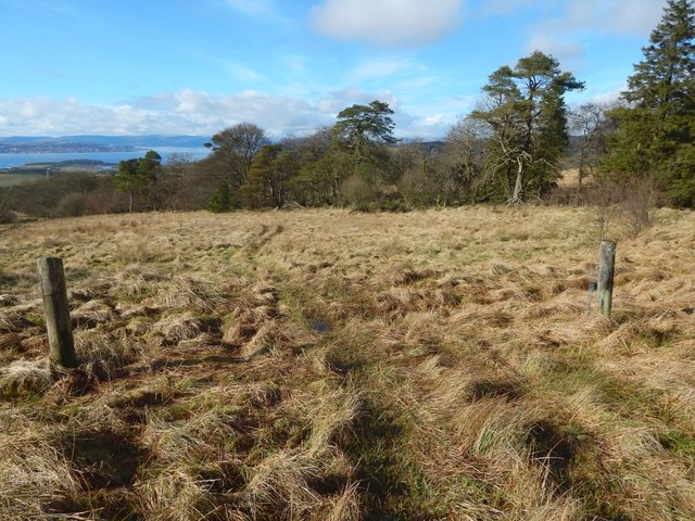
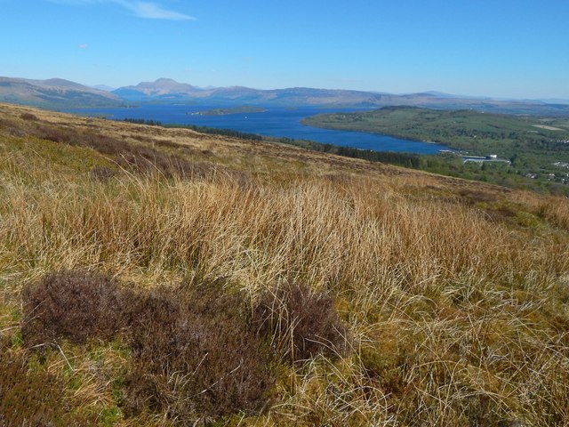
Asker Reservoir is a freshwater body located in Dunbartonshire, Scotland. It is situated in a picturesque setting, surrounded by rolling hills and lush greenery. The reservoir is classified as a Category C freshwater loch and covers an area of approximately 92 hectares.

The reservoir was constructed in the late 19th century to provide a water supply for the surrounding area. It was created by damming the Asker Burn, a small river that flows through the region. The reservoir's water level is managed by Scottish Water, ensuring a steady supply for domestic and industrial purposes.

Asker Reservoir not only serves as a vital water resource but also offers recreational opportunities for locals and visitors alike. It is a popular spot for fishing enthusiasts, with a variety of fish species inhabiting its waters, including brown trout and rainbow trout. Anglers can enjoy a tranquil day on the banks, casting their lines and trying their luck.

The surrounding area of Asker Reservoir is rich in wildlife, offering a diverse habitat for various bird species. Birdwatchers can often spot a range of waterfowl, including ducks, swans, and geese, along with other avian creatures such as herons and kingfishers.

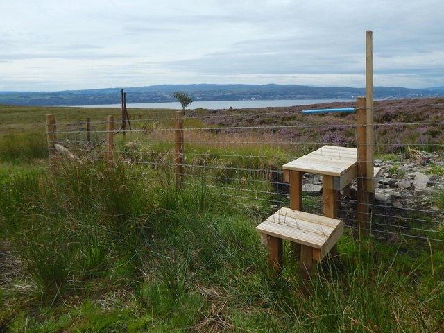
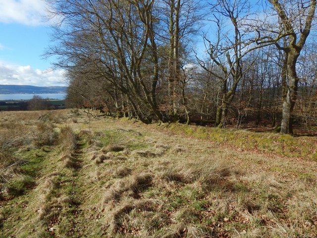
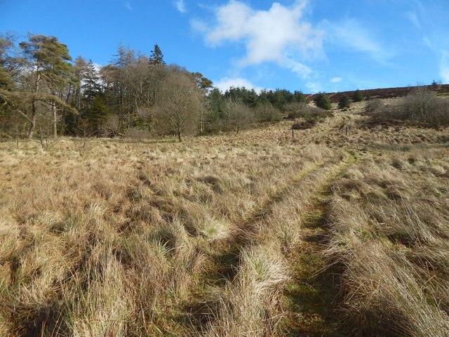
Nature lovers can also explore the nearby trails and enjoy walks around the reservoir, taking in the scenic beauty of the surrounding landscape. The peaceful atmosphere and stunning views make Asker Reservoir an ideal destination for those seeking a break from the hustle and bustle of city life.

If you have any feedback on the listing, please let us know in the comments section below.

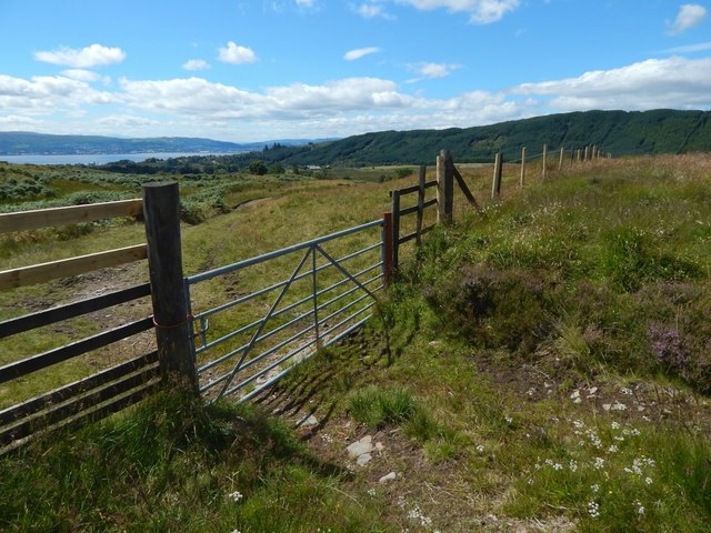
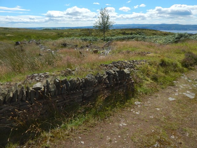
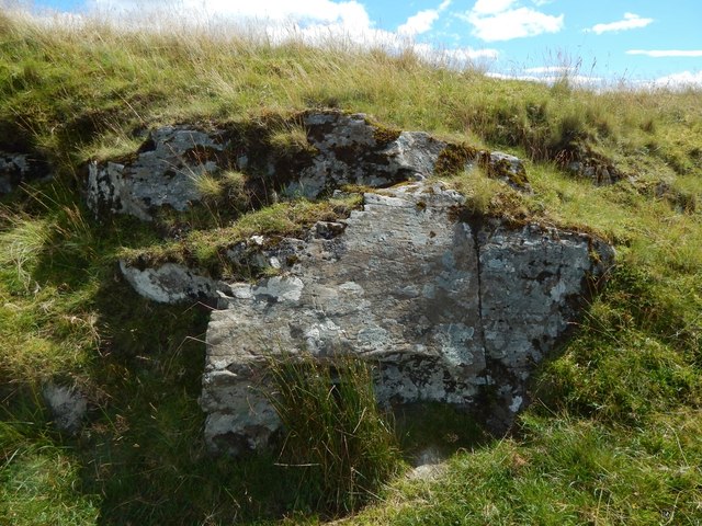
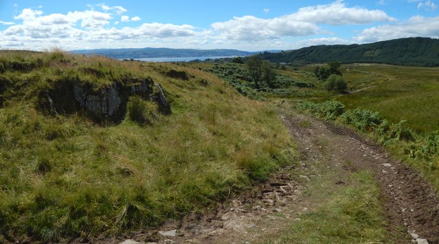
Asker Reservoir Images

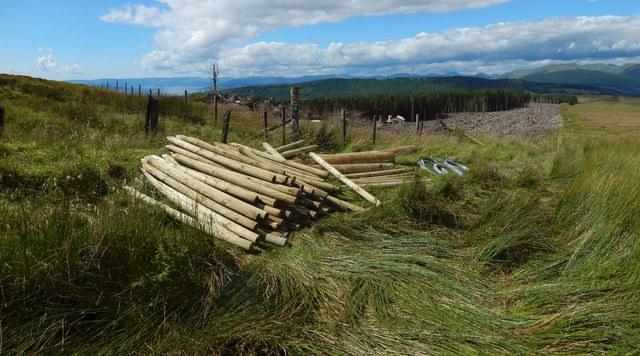
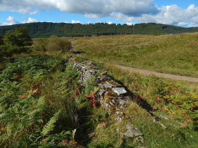
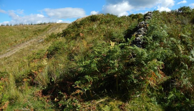
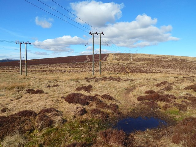
Images are sourced within 2km of 55.982045/-4.6310219 or Grid Reference NS3579. Thanks to Geograph Open Source API. All images are credited.

Preparations for fence-building This is the eastern corner of the woodland that is shown on the map; large parts of it had recently been cleared: <a href="https://www.geograph.org.uk/photo/4458355">NS3680 : Cleared north-eastern margin of woods</a>.

The Firth of Clyde can be seen in the left background.
Preparations for fence-building
This is the eastern corner of the woodland that is shown on the map; large parts of it had recently been cleared: NS3680 : Cleared north-eastern margin of woods. The Firth of Clyde can be seen in the left background.
Dry-stone dyke The line of the wall is shown on the 1:25000 map, as is the adjacent path. The wooded Killoeter ridge is in the background. See <a href="https://www.geograph.org.uk/photo/4683986">NS3581 : Dry-stone dyke</a> for a view in the opposite direction.
Dry-stone dyke
The line of the wall is shown on the 1:25000 map, as is the adjacent path. The wooded Killoeter ridge is in the background. See NS3581 : Dry-stone dyke for a view in the opposite direction.
Dry-stone dyke The line of the dyke is marked on the 1:25000 map, as is the path beside it, which is included in this picture to provide some context. See <a href="https://www.geograph.org.uk/photo/4683982">NS3581 : Dry-stone dyke</a> for a view in the opposite direction.
Dry-stone dyke
The line of the dyke is marked on the 1:25000 map, as is the path beside it, which is included in this picture to provide some context. See NS3581 : Dry-stone dyke for a view in the opposite direction.
Approaching Bromley Muir This is a view across the lower ground that is between Overton Muir (behind the photographer) and Bromley Muir (ahead).

The darker ground in the left background is fenced off (see <a href="https://www.geograph.org.uk/photo/4313971">NS3680 : Moorland fence</a>, a view in the opposite direction), and those boundaries are shown on the 1:25000 map, as is the course of the power lines.
Approaching Bromley Muir
This is a view across the lower ground that is between Overton Muir (behind the photographer) and Bromley Muir (ahead). The darker ground in the left background is fenced off (see NS3680 : Moorland fence, a view in the opposite direction), and those boundaries are shown on the 1:25000 map, as is the course of the power lines.
Western slopes of Bromley Muir The view is from a location not far from the <a href="https://www.geograph.org.uk/photo/4314088">NS3680 : Bromley Muir Trig Point</a> (pronounced "Broomley").

This is a wide-angle view. At the far left, the receding edge of woodland (<a href="https://www.geograph.org.uk/photo/1818321">NS3680 : Field boundary near Bromley Muir</a>) is the one that the map shows passing through <a href="https://www.geograph.org.uk/gridref/NS36398015">NS36398015</a>. Cairniedrouth Farm (<a href="https://www.geograph.org.uk/gridref/NS3579">NS3579</a>) is further ahead, on the same line.

A little to the right of that, the peninsula of Ardmore Point (<a href="https://www.geograph.org.uk/gridref/NS3178">NS3178</a>) juts out into the Firth of Clyde.

Positioned more centrally in the image is the wooded Killoeter ridge (<a href="https://www.geograph.org.uk/gridref/NS3481">NS3481</a>).

Further to the right, on the skyline, are the hills around Glen Finlas (<a href="https://www.geograph.org.uk/gridref/NS3190">NS3190</a>).
Western slopes of Bromley Muir
The view is from a location not far from the NS3680 : Bromley Muir Trig Point (pronounced "Broomley"). This is a wide-angle view. At the far left, the receding edge of woodland (NS3680 : Field boundary near Bromley Muir) is the one that the map shows passing through NS36398015. Cairniedrouth Farm (NS3579) is further ahead, on the same line. A little to the right of that, the peninsula of Ardmore Point (NS3178) juts out into the Firth of Clyde. Positioned more centrally in the image is the wooded Killoeter ridge (NS3481). Further to the right, on the skyline, are the hills around Glen Finlas (NS3190).
Gate on the Stoneymollan Road The gate is shown from the same side, but from a different angle, in <a href="https://www.geograph.org.uk/photo/417514">NS3581 : Darleith Muir Tree Line and Gate</a>; the wooded area in the background of that photograph had been cleared by the time the present picture was taken.

The wooded Killoeter ridge takes up much of the background from centre to right. The Firth of Clyde is on the left. The building that is visible directly behind the centre of the gate is part of <a href="https://www.geograph.org.uk/photo/2915776">NS3481 : Blackthird Farm</a> (<a href="https://www.geograph.org.uk/photo/159361">NS3481 : Cardross, Blackthird Farm</a>).

Above the left-hand post of the gate, but too small to be clearly visible in this picture, some distant peaks are visible beyond the hills on the far side of the Clyde. Those peaks are on Arran, and they can be seen from here when the visibility is good, as was the case here.

Specifically, the tops visible from this spot include, among others (from left to right, as seen from this spot): Goatfell (<a href="https://www.geograph.org.uk/gridref/NR9941">NR9941</a>) and Mullach Buidhe (<a href="https://www.geograph.org.uk/gridref/NR9942">NR9942</a>), quite close together; Beinn Tarsuinn (<a href="https://www.geograph.org.uk/gridref/NR9641">NR9641</a>); Caisteal Abhail (<a href="https://www.geograph.org.uk/gridref/NR9644">NR9644</a>); and Beinn Bharrain (<a href="https://www.geograph.org.uk/gridref/NR8942">NR8942</a>).
Gate on the Stoneymollan Road
The gate is shown from the same side, but from a different angle, in NS3581 : Darleith Muir Tree Line and Gate; the wooded area in the background of that photograph had been cleared by the time the present picture was taken. The wooded Killoeter ridge takes up much of the background from centre to right. The Firth of Clyde is on the left. The building that is visible directly behind the centre of the gate is part of NS3481 : Blackthird Farm (NS3481 : Cardross, Blackthird Farm). Above the left-hand post of the gate, but too small to be clearly visible in this picture, some distant peaks are visible beyond the hills on the far side of the Clyde. Those peaks are on Arran, and they can be seen from here when the visibility is good, as was the case here. Specifically, the tops visible from this spot include, among others (from left to right, as seen from this spot): Goatfell (NR9941) and Mullach Buidhe (NR9942), quite close together; Beinn Tarsuinn (NR9641); Caisteal Abhail (NR9644); and Beinn Bharrain (NR8942).
Old and new dry-stone walls A new wall is in the left foreground; it was built less than ten years ago (whether as part of a dry-stone-walling course or not I do not know). Behind and parallel to it is a much older wall, which, near the right-hand edge of this picture, can be seen to make a sharp turn to head away from the path. Its course is marked on the 1:25000 map.

Near that corner of the old wall there used to be an OS bench mark, a rivet. The stone in which it is set was knocked to the ground a few years ago when that part of the wall was damaged during forestry operations. The rivet has not moved far, but, because it is no longer in its intended place, the bench mark, as such, can be considered "destroyed".

Part of the Firth of Clyde is in the right background. The area in the left middle distance was cleared a few years ago, and is shown wooded in another contributor's earlier picture: <a href="https://www.geograph.org.uk/photo/417514">NS3581 : Darleith Muir Tree Line and Gate</a>.

The present picture was taken just a few metres from a <a href="https://www.geograph.org.uk/photo/5061667">NS3581 : Gate on the Stoneymollan Road</a>, the same gate as is shown in the picture just mentioned.
Old and new dry-stone walls
A new wall is in the left foreground; it was built less than ten years ago (whether as part of a dry-stone-walling course or not I do not know). Behind and parallel to it is a much older wall, which, near the right-hand edge of this picture, can be seen to make a sharp turn to head away from the path. Its course is marked on the 1:25000 map. Near that corner of the old wall there used to be an OS bench mark, a rivet. The stone in which it is set was knocked to the ground a few years ago when that part of the wall was damaged during forestry operations. The rivet has not moved far, but, because it is no longer in its intended place, the bench mark, as such, can be considered "destroyed". Part of the Firth of Clyde is in the right background. The area in the left middle distance was cleared a few years ago, and is shown wooded in another contributor's earlier picture: NS3581 : Darleith Muir Tree Line and Gate. The present picture was taken just a few metres from a NS3581 : Gate on the Stoneymollan Road, the same gate as is shown in the picture just mentioned.
Rock outcrop beside path This rock, whose surface is scored by a very regular pattern of parallel cracks, is beside <a href="https://www.geograph.org.uk/photo/5061711">NS3581 : The Stoneymollan Road</a>.
Rock outcrop beside path
This rock, whose surface is scored by a very regular pattern of parallel cracks, is beside NS3581 : The Stoneymollan Road.
The Stoneymollan Road The view is from not far beyond a <a href="https://www.geograph.org.uk/photo/5061667">NS3581 : Gate on the Stoneymollan Road</a>; as in that picture, the Firth of Clyde and the wooded ridge of Killoeter are prominent in the background. 

The rock outcrop just to the left of the near part of the path is shown in <a href="https://www.geograph.org.uk/photo/5061709">NS3581 : Rock outcrop beside path</a>.

For distant peaks (visible only with larger image sizes) appearing at the central part of the skyline, see the last part of the comments at <a href="https://www.geograph.org.uk/photo/5061667">NS3581 : Gate on the Stoneymollan Road</a>, a picture taken from nearby.
The Stoneymollan Road
The view is from not far beyond a NS3581 : Gate on the Stoneymollan Road; as in that picture, the Firth of Clyde and the wooded ridge of Killoeter are prominent in the background. The rock outcrop just to the left of the near part of the path is shown in NS3581 : Rock outcrop beside path. For distant peaks (visible only with larger image sizes) appearing at the central part of the skyline, see the last part of the comments at NS3581 : Gate on the Stoneymollan Road, a picture taken from nearby.
A new stile The 1:25000 map shows the line of the fence, and its sharp turn near the stile. The line of that fence is also the line of a Unitary Authority Boundary, as indicated on the map: West Dunbartonshire is on this side, and Argyll and Bute is on the other.

The Clyde can be seen in the background.

The high ground here at Overtoun Muir and Bromley Muir gives, on clear days, a view to many distant hills.

For example, from the top of Overtoun Muir, about 300 metres SSE of the point from which this picture was taken, and looking towards and over the top of nearby Carman Hill, some distant hills could be seen on the southern skyline, projecting above the nearer ones on the far side of the Clyde: Beninner (<a href="https://www.geograph.org.uk/gridref/NX6097">NX6097</a>, 86 km / 54 miles away) could be seen behind and just to the left of Cairnsmore of Carsphairn (<a href="https://www.geograph.org.uk/gridref/NX5998">NX5998</a>, 85 kms / 53 miles).

To the west, the peaks of Arran are often visible; see <a href="https://www.geograph.org.uk/photo/5061667">NS3581 : Gate on the Stoneymollan Road</a>, taken not far from here. In the present-picture, they are dimly visible on the skyline, directly above the blue sleeve that covers the top of the fence at the stile.

To the east, the Campsie Hills and the more distant Fintry Hills are usually visible; the even more distant Gargunnock and Touch Hills can be seen when the visibility is good: see <a href="https://www.geograph.org.uk/photo/1703819">NS3680 : Bromley Muir trig point</a>. As noted there, another distant hill can often be seen to the south-east: Tinto Hill (<a href="https://www.geograph.org.uk/gridref/NS9534">NS9534</a>), about 75 km away.

To the north, Ben Lomond and many far more distant peaks can be seen.
A new stile
The 1:25000 map shows the line of the fence, and its sharp turn near the stile. The line of that fence is also the line of a Unitary Authority Boundary, as indicated on the map: West Dunbartonshire is on this side, and Argyll and Bute is on the other. The Clyde can be seen in the background. The high ground here at Overtoun Muir and Bromley Muir gives, on clear days, a view to many distant hills. For example, from the top of Overtoun Muir, about 300 metres SSE of the point from which this picture was taken, and looking towards and over the top of nearby Carman Hill, some distant hills could be seen on the southern skyline, projecting above the nearer ones on the far side of the Clyde: Beninner (NX6097, 86 km / 54 miles away) could be seen behind and just to the left of Cairnsmore of Carsphairn (NX5998, 85 kms / 53 miles). To the west, the peaks of Arran are often visible; see NS3581 : Gate on the Stoneymollan Road, taken not far from here. In the present-picture, they are dimly visible on the skyline, directly above the blue sleeve that covers the top of the fence at the stile. To the east, the Campsie Hills and the more distant Fintry Hills are usually visible; the even more distant Gargunnock and Touch Hills can be seen when the visibility is good: see NS3680 : Bromley Muir trig point. As noted there, another distant hill can often be seen to the south-east: Tinto Hill (NS9534), about 75 km away. To the north, Ben Lomond and many far more distant peaks can be seen.
The end of a forestry track The track is marked on the map. For a view in the opposite direction, on the same day, see <a href="https://www.geograph.org.uk/photo/5257756">NS3681 : View from the end of a forestry track</a>.

For a photograph that is equivalent to the present picture, but which was taken a few years ago in a different season, and before the trees were cleared, see <a href="https://www.geograph.org.uk/photo/3440171">NS3681 : Clearing at end of track</a>, which presents a very different appearance.
The end of a forestry track
The track is marked on the map. For a view in the opposite direction, on the same day, see NS3681 : View from the end of a forestry track. For a photograph that is equivalent to the present picture, but which was taken a few years ago in a different season, and before the trees were cleared, see NS3681 : Clearing at end of track, which presents a very different appearance.
View from the end of a forestry track The track is marked on the map. For a view in the opposite direction from this point, see <a href="https://www.geograph.org.uk/photo/5257752">NS3681 : The end of a forestry track</a>. As pointed out there, the trees were cleared from this area only recently.

In the present view, the wooded Killoeter ridge is on the left, the hills that form a horseshoe around the head of Glen Finlas are at the centre, and Ben Lomond is on the right.

About 500 metres farther along this track is a four-way path junction: <a href="https://www.geograph.org.uk/photo/5257771">NS3581 : A junction of paths</a>.
View from the end of a forestry track
The track is marked on the map. For a view in the opposite direction from this point, see NS3681 : The end of a forestry track. As pointed out there, the trees were cleared from this area only recently. In the present view, the wooded Killoeter ridge is on the left, the hills that form a horseshoe around the head of Glen Finlas are at the centre, and Ben Lomond is on the right. About 500 metres farther along this track is a four-way path junction: NS3581 : A junction of paths.
Track from Bromley Muir This is a continuation of the track that is shown leading directly ahead in <a href="https://www.geograph.org.uk/photo/5306307">NS3680 : Tracks crossing near Bromley Muir</a>.

It begins as a clearing through the heather, as shown in the foreground, but continues through rough grassland on the near side of a strip of woodland, which is visible ahead, and which is shown on the map. 

See <a href="https://www.geograph.org.uk/photo/5306341">NS3680 : Track passing through the line of a fence</a> for a view from further ahead.

In the present picture, the Firth of Clyde is in the background. Ardmore Point is on the left, on the near shore. The wooded Killoeter ridge can be seen on the right, sloping down towards the shore.
Track from Bromley Muir
This is a continuation of the track that is shown leading directly ahead in NS3680 : Tracks crossing near Bromley Muir. It begins as a clearing through the heather, as shown in the foreground, but continues through rough grassland on the near side of a strip of woodland, which is visible ahead, and which is shown on the map. See NS3680 : Track passing through the line of a fence for a view from further ahead. In the present picture, the Firth of Clyde is in the background. Ardmore Point is on the left, on the near shore. The wooded Killoeter ridge can be seen on the right, sloping down towards the shore.
Tracks crossing near Bromley Muir On this part of the muir, the tracks are just clearings through the heather. The one leading straight ahead begins some way behind the photographer's position, near a stile (<a href="https://www.geograph.org.uk/photo/5079516">NS3680 : A new stile</a>).

For a view from ahead, beyond the crossing of tracks, see <a href="https://www.geograph.org.uk/photo/5306267">NS3680 : Track from Bromley Muir</a>.

In the present view, the background details are largely the same as in that picture: the Firth of Clyde; Ardmore Point projecting from the near shore, just left of centre; and the wooded Killoeter ridge entering from the right and sloping down towards the shore.
Tracks crossing near Bromley Muir
On this part of the muir, the tracks are just clearings through the heather. The one leading straight ahead begins some way behind the photographer's position, near a stile (NS3680 : A new stile). For a view from ahead, beyond the crossing of tracks, see NS3680 : Track from Bromley Muir. In the present view, the background details are largely the same as in that picture: the Firth of Clyde; Ardmore Point projecting from the near shore, just left of centre; and the wooded Killoeter ridge entering from the right and sloping down towards the shore.
Track beside a strip of woodland The track is a continuation of the one shown in <a href="https://www.geograph.org.uk/photo/5306341">NS3680 : Track passing through the line of a fence</a>.

The strip of woodland is marked on the 1:25000 map, as is the boundary on its near side, also visible in this picture.

For a view from farther ahead, see <a href="https://www.geograph.org.uk/photo/5306352">NS3679 : The end of a track</a>. For a view in the opposite direction, see <a href="https://www.geograph.org.uk/photo/5306333">NS3680 : Track beside a strip of woodland</a>.
Track beside a strip of woodland
The track is a continuation of the one shown in NS3680 : Track passing through the line of a fence. The strip of woodland is marked on the 1:25000 map, as is the boundary on its near side, also visible in this picture. For a view from farther ahead, see NS3679 : The end of a track. For a view in the opposite direction, see NS3680 : Track beside a strip of woodland.
Track beside a strip of woodland The subject is as in <a href="https://www.geograph.org.uk/photo/5306327">NS3680 : Track beside a strip of woodland</a>, but the present view is in the opposite direction, and from a point further to the north-east. The 1:25000 map shows the line of a boundary not far ahead: it is a fence, and the track passes through a large gap in it, which is flanked by posts; these can be seen ahead.

For a view back towards this point from just beyond the posts, see <a href="https://www.geograph.org.uk/photo/5306341">NS3680 : Track passing through the line of a fence</a>; the gap through which the track passes is shown in that picture.
Track beside a strip of woodland
The subject is as in NS3680 : Track beside a strip of woodland, but the present view is in the opposite direction, and from a point further to the north-east. The 1:25000 map shows the line of a boundary not far ahead: it is a fence, and the track passes through a large gap in it, which is flanked by posts; these can be seen ahead. For a view back towards this point from just beyond the posts, see NS3680 : Track passing through the line of a fence; the gap through which the track passes is shown in that picture.
Track passing through the line of a fence The view is from further along the track shown in <a href="https://www.geograph.org.uk/photo/5306267">NS3680 : Track from Bromley Muir</a>.

At the place where the present picture was taken, the track is approaching a strip of woodland, depicted on the 1:25000 map. The same map shows a boundary here; it is a fence, and the track passes through a wide gap in it, which is flanked by two posts, shown here.

In the background, Ardmore Point can be seen on the left, on the near shore of the Firth of Clyde.

For a view back towards this point from further downhill, see <a href="https://www.geograph.org.uk/photo/5306333">NS3680 : Track beside a strip of woodland</a>.

For a view ahead from further along the track, see <a href="https://www.geograph.org.uk/photo/5306327">NS3680 : Track beside a strip of woodland</a>.
Track passing through the line of a fence
The view is from further along the track shown in NS3680 : Track from Bromley Muir. At the place where the present picture was taken, the track is approaching a strip of woodland, depicted on the 1:25000 map. The same map shows a boundary here; it is a fence, and the track passes through a wide gap in it, which is flanked by two posts, shown here. In the background, Ardmore Point can be seen on the left, on the near shore of the Firth of Clyde. For a view back towards this point from further downhill, see NS3680 : Track beside a strip of woodland. For a view ahead from further along the track, see NS3680 : Track beside a strip of woodland.
Bromley Muir (Pronounced "Broomley")

From the trig point — <a title="https://www.geograph.org.uk/tagged/Bromley+Muir+Trig+Point#photo=1036625" href="https://www.geograph.org.uk/tagged/Bromley+Muir+Trig+Point#photo=1036625">Link</a> — not far to the west, the ground slopes down to Long Strip Wood. It would be wise not to venture too far down the slope (see <a href="https://www.geograph.org.uk/photo/3853470">NS3781 : Signs at junction</a>).

Loch Lomond is well seen in the background. At the right-hand end of the visible part of the loch is the group of buildings that make up <a href="https://www.geograph.org.uk/photo/2537006">NS3882 : Loch Lomond Shores</a> (see, for example, <a href="https://www.geograph.org.uk/photo/1660521">NS3882 : Drumkinnon Tower at Loch Lomond Shores</a>).
Bromley Muir
(Pronounced "Broomley") From the trig point — Link — not far to the west, the ground slopes down to Long Strip Wood. It would be wise not to venture too far down the slope (see NS3781 : Signs at junction). Loch Lomond is well seen in the background. At the right-hand end of the visible part of the loch is the group of buildings that make up NS3882 : Loch Lomond Shores (see, for example, NS3882 : Drumkinnon Tower at Loch Lomond Shores).
Show me another place!

Asker Reservoir is located at Grid Ref: NS3579 (Lat: 55.982045, Lng: -4.6310219)

Unitary Authority: Argyll and Bute

Police Authority: Argyll and West Dunbartonshire

What 3 Words

///dressings.deprives.officials. Near Cardross, Argyll & Bute

Nearby Locations

Asker Reservoir

Related Wikis

Kilmahew Castle

Kilmahew Castle is a ruined castle located just north of Cardross, in the council area of Argyll and Bute, Scotland. The castle is close by the ruins of...

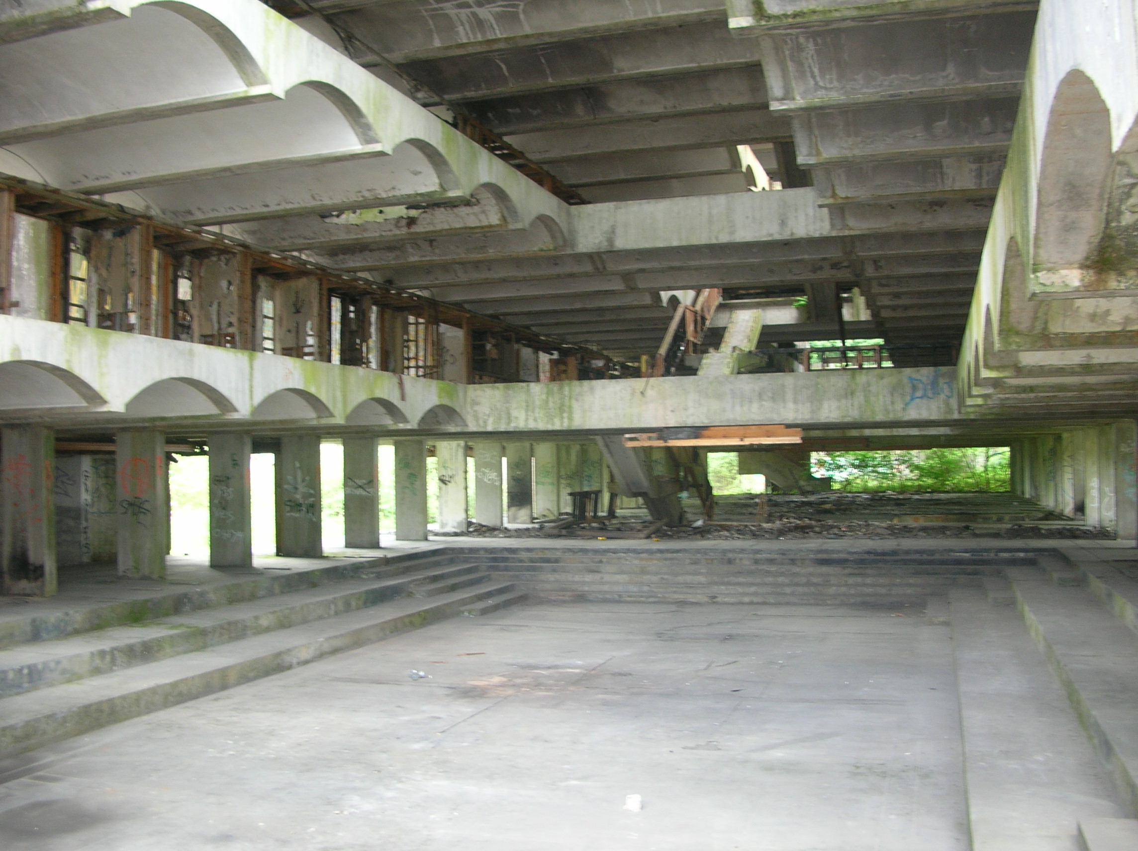
St Peter's Seminary, Cardross

St. Peter's Seminary is a former Roman Catholic seminary near Cardross, Argyll and Bute, Scotland. Designed by the firm of Gillespie, Kidd & Coia, it has...
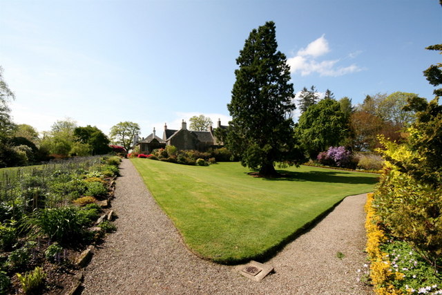
Geilston Garden

Geilston Garden is a property of the National Trust for Scotland, north-west of Cardross, Argyll and Bute. Geilston Garden was developed more than two...
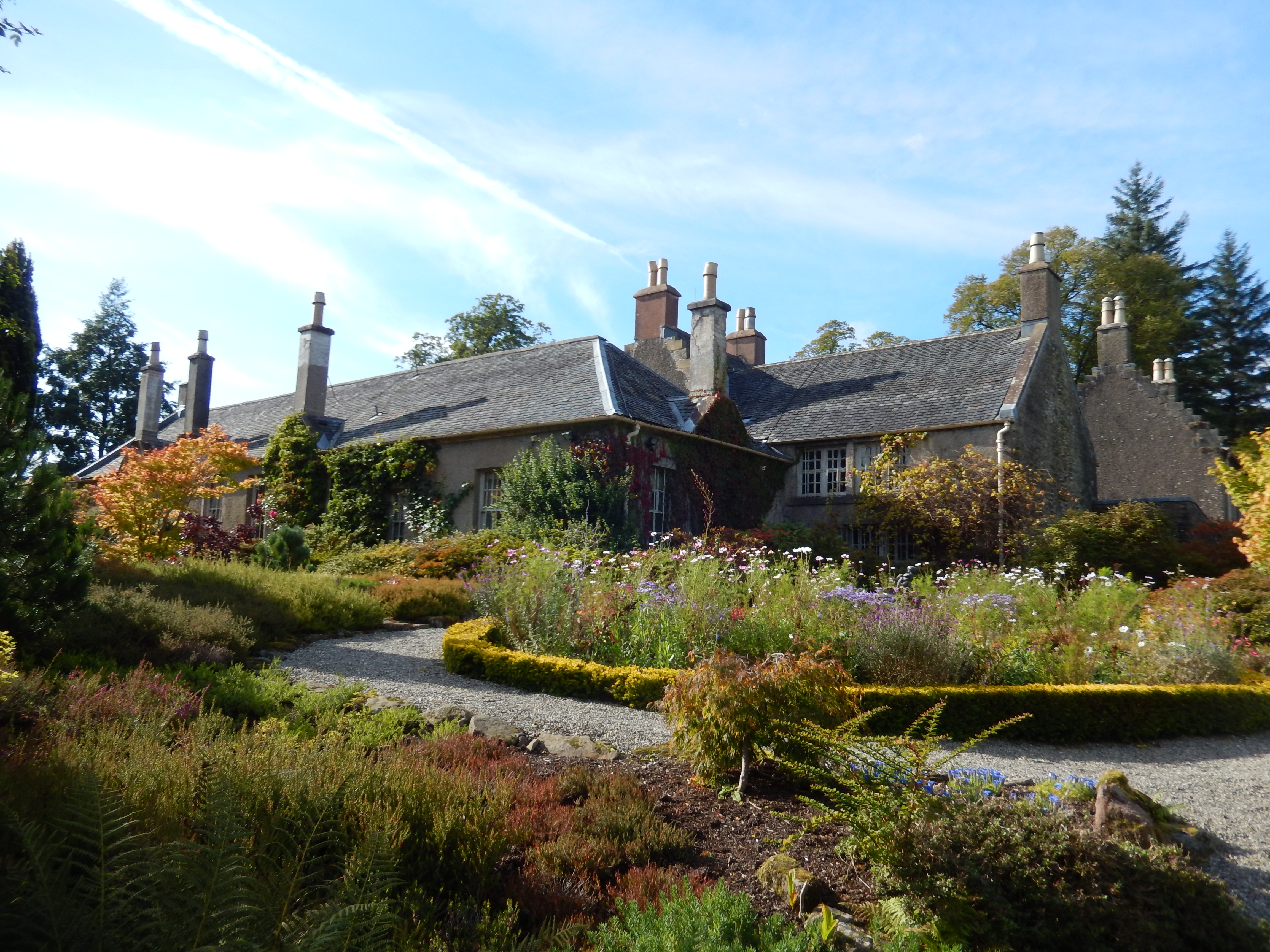
Geilston

Geilston is a house and an area on the edge of the village of Cardross in Argyll and Bute, Scotland. It is the site of Geilston Garden, a National Trust...

Nearby Amenities

Located within 500m of 55.982045,-4.6310219
Power: tower
Source: Bing
Lat/Long: 55.9777063/-4.6319926
Power: tower
Source: Bing
Lat/Long: 55.9790015/-4.6363228
Power: pole
Lat/Long: 55.978208/-4.6324995
Power: pole
Lat/Long: 55.9787885/-4.6332232
Power: pole
Lat/Long: 55.9791887/-4.6343967
Power: pole
Lat/Long: 55.9795827/-4.6355764
Power: pole
Lat/Long: 55.9799931/-4.6368259
Power: pole
Lat/Long: 55.9803302/-4.6377909
Power: pole
Lat/Long: 55.9812055/-4.6261064
Power: pole
Lat/Long: 55.9809753/-4.627007
Power: pole
Lat/Long: 55.9806881/-4.6281175
Power: pole
Lat/Long: 55.9803129/-4.6295361
Power: pole
Lat/Long: 55.9799366/-4.630984
Power: pole
Lat/Long: 55.9795884/-4.6323272
Power: pole
Lat/Long: 55.9790069/-4.632981
The data included in this document is from www.openstreetmap.org. The data is made available under ODbL.

Have you been to Asker Reservoir?

Leave your review of Asker Reservoir below (or comments, questions and feedback).