Leperstone Reservoir

Lake, Pool, Pond, Freshwater Marsh in Renfrewshire

Scotland

Leperstone Reservoir

Port Glasgow Road, Kilmacolm
Port Glasgow Road, Kilmacolm Credit: Richard Webb

Leperstone Reservoir is a picturesque freshwater body located in Renfrewshire, Scotland. This man-made reservoir serves as a vital water source for the surrounding areas and covers an approximate area of 20 acres. Nestled amidst the stunning Scottish countryside, it attracts both locals and tourists due to its natural beauty and tranquil ambiance.

The reservoir is surrounded by lush greenery, including trees, shrubs, and grassy areas, creating a serene and peaceful environment. Its calm waters reflect the surrounding landscape, adding to its aesthetic appeal. The reservoir is also home to a variety of wildlife, including waterfowl, such as ducks and geese, which can often be seen gliding across the surface or nesting along the shoreline.

Leperstone Reservoir offers recreational opportunities for nature enthusiasts and outdoor lovers. Fishing is a popular activity, with anglers seeking brown trout, perch, and pike in its depths. The reservoir's clear waters and abundance of fish make it an ideal spot for a relaxing day of angling.

Additionally, the reservoir provides a beautiful setting for leisurely walks or picnics. A well-maintained walking trail surrounds the reservoir, allowing visitors to explore the area and enjoy the breathtaking views. Birdwatchers also flock to Leperstone Reservoir, as it is a haven for various bird species, including herons, swans, and various songbirds.

Overall, Leperstone Reservoir is a hidden gem in Renfrewshire, offering a tranquil escape from the bustling city life. Its natural beauty, diverse wildlife, and recreational opportunities make it an appealing destination for visitors and a valuable resource for the local community.

If you have any feedback on the listing, please let us know in the comments section below.

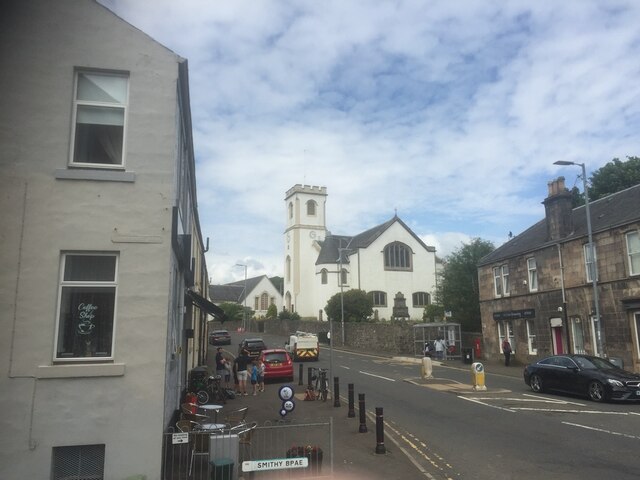
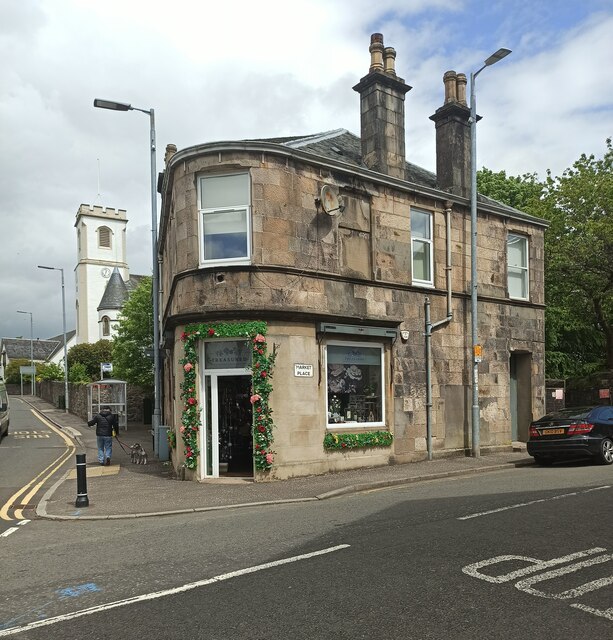
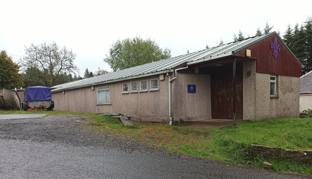
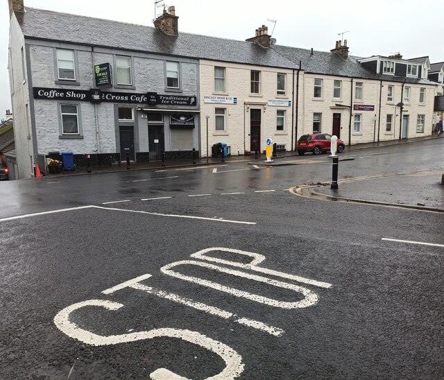
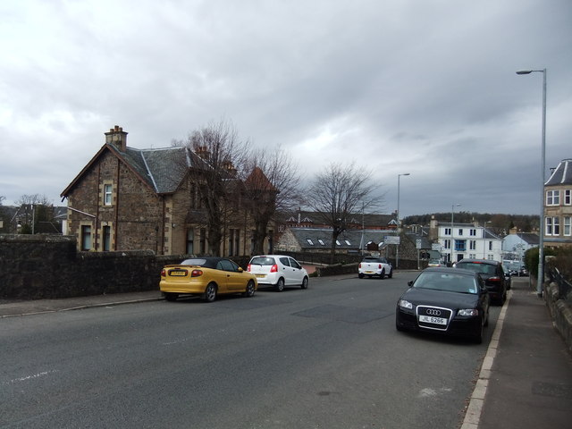
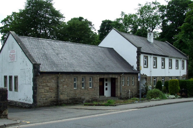
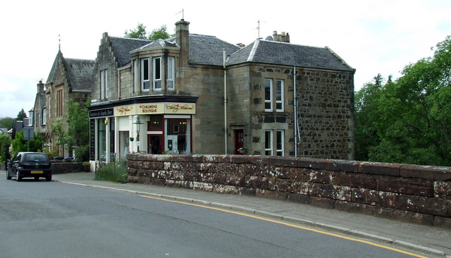
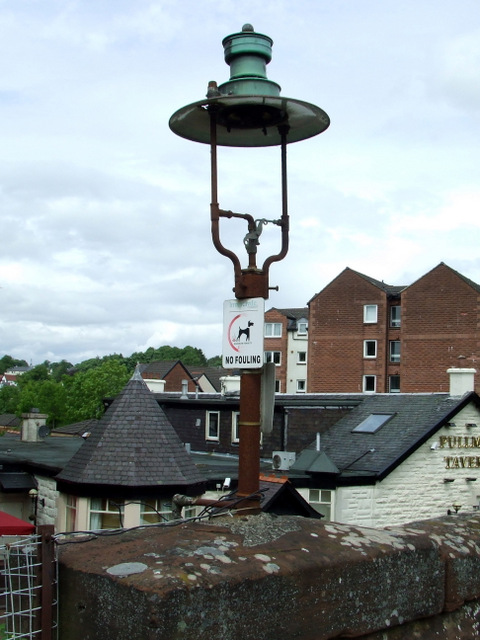
Leperstone Reservoir Images

Images are sourced within 2km of 55.9095/-4.638186 or Grid Reference NS3571. Thanks to Geograph Open Source API. All images are credited.

Port Glasgow Road, Kilmacolm
Former Kilmacolm Post Office At The Cross, on the corner of Port Glasgow Road and Market Place.
Former Kilmacolm Post Office
At The Cross, on the corner of Port Glasgow Road and Market Place.
Lochwinnoch Road at Kilmacolm Cross A new building on the site of the former community centre and library.
Lochwinnoch Road at Kilmacolm Cross
A new building on the site of the former community centre and library.
Kilmacolm Scout Hall Located on Barrs Brae.
Kilmacolm Scout Hall
Located on Barrs Brae.
Kilmacolm Cross Sadly, the Cross Cafe is now closed due to retirement of the owners.
Kilmacolm Cross
Sadly, the Cross Cafe is now closed due to retirement of the owners.
Saint Columba Parish Church, Kilmacolm Church of Scotland.
Saint Columba Parish Church, Kilmacolm
Church of Scotland.
Knockbuckle Road, Kilmacolm Just north of the rugby pitches.
Knockbuckle Road, Kilmacolm
Just north of the rugby pitches.
Town centre, Kilmacolm From the junction of Lochwinnoch Road, looking along Port Glasgow Road.
Town centre, Kilmacolm
From the junction of Lochwinnoch Road, looking along Port Glasgow Road.
Kilmacolm Post Office
Town centre, Kilmacolm Port Glasgow Road.
Town centre, Kilmacolm
Port Glasgow Road.
'Dorema'- Doctors' surgery
Former police station On Lochwinnoch Road.
Former police station
On Lochwinnoch Road.
Lochwinnoch Road At the bridge over the former Glasgow to Princes Pier railway line.

See the old gas lamp (visible in front of the shop) here <a href="https://www.geograph.org.uk/photo/3528753">NS3569 : Old gas lamp</a>.
Lochwinnoch Road
At the bridge over the former Glasgow to Princes Pier railway line. See the old gas lamp (visible in front of the shop) here NS3569 : Old gas lamp.
Old gas lamp On the old railway bridge on Lochwinnoch Road <a href="https://www.geograph.org.uk/photo/3528747">NS3569 : Lochwinnoch Road</a>.
Old gas lamp
On the old railway bridge on Lochwinnoch Road NS3569 : Lochwinnoch Road.
Lochwinnoch Road Compare with the same scene in March 2007 <a href="https://www.geograph.org.uk/photo/699187">NS3569 : Lochwinnoch Road</a>.
Lochwinnoch Road
Compare with the same scene in March 2007 NS3569 : Lochwinnoch Road.
Former Kilmacolm railway station Now a pub called the Pullman Tavern. See the station (barely) in use in 1979 <a href="https://www.geograph.org.uk/photo/814605">NS3569 : Kilmacolm station 1979</a>.
Former Kilmacolm railway station
Now a pub called the Pullman Tavern. See the station (barely) in use in 1979 NS3569 : Kilmacolm station 1979.
Kilmacolm Community Centre Part of the community centre off Lochwinnoch Road.
Kilmacolm Community Centre
Part of the community centre off Lochwinnoch Road.
Kilmacolm Post Office At first glance, not much has changes since this earlier photo <a href="https://www.geograph.org.uk/photo/355185">NS3569 : Kilmacolm post Office</a> was taken in March 2007.

Closer inspection reveals that the tree on the left has been lopped, the bollards have changed, the lamppost has been removed from the traffic island, the colour scheme of the shopfront on the left has changed, a grey box has appeared beside the lamppost on the left, the lamppost to the right of the building has changed as has the colour scheme of the building on the right. The road markings and the road surface have been renewed.
Kilmacolm Post Office
At first glance, not much has changes since this earlier photo NS3569 : Kilmacolm post Office was taken in March 2007. Closer inspection reveals that the tree on the left has been lopped, the bollards have changed, the lamppost has been removed from the traffic island, the colour scheme of the shopfront on the left has changed, a grey box has appeared beside the lamppost on the left, the lamppost to the right of the building has changed as has the colour scheme of the building on the right. The road markings and the road surface have been renewed.
Show me another place!

Leperstone Reservoir is located at Grid Ref: NS3571 (Lat: 55.9095, Lng: -4.638186)

Unitary Authority: Inverclyde

Police Authority: Renfrewshire and Inverclyde

What 3 Words

///goggles.braced.overhear. Near Kilmacolm, Inverclyde

Related Wikis

Bardrainney

Bardrainney is a neighbourhood of Port Glasgow, in the Inverclyde district of Scotland. Bardrainney, possibly from the Gaelic for "hill of thorns", is...

Kilmacolm

Kilmacolm ( ) is a village and civil parish in the Inverclyde council area, and the historic county of Renfrewshire in the west central Lowlands of Scotland...

St Columba's School, Kilmacolm

St Columba's School is a 3–18 mixed private day school in Kilmacolm, Inverclyde, Scotland. It is split across two sites and is a member of the Headmasters...

Kilmacolm railway station

Kilmacolm railway station was a railway station serving the village of Kilmacolm, in the current council area of Inverclyde and the historic county of...

Nearby Amenities

Located within 500m of 55.9095,-4.638186
Power: tower
Source: Bing
Lat/Long: 55.9075649/-4.6407357
Power: tower
Source: Bing
Lat/Long: 55.9075161/-4.6351798
Power: tower
Source: Bing
Lat/Long: 55.9108474/-4.6341642
Power: tower
Source: Bing
Lat/Long: 55.9124678/-4.6429763
Power: tower
Source: Bing
Lat/Long: 55.911658/-4.6385887
Power: pole
Lat/Long: 55.908264/-4.6446953
Power: pole
Lat/Long: 55.9087252/-4.6432684
Power: pole
Lat/Long: 55.9092402/-4.641731
Power: pole
Lat/Long: 55.9099034/-4.6412664
Power: pole
Lat/Long: 55.9106191/-4.6407998
Power: pole
Lat/Long: 55.911245/-4.6377687
Power: pole
Lat/Long: 55.9110955/-4.6384749
Power: pole
Lat/Long: 55.9109285/-4.6392915
Power: pole
Lat/Long: 55.9103459/-4.6421247
Power: pole
Lat/Long: 55.9101965/-4.6428538
Power: pole
Lat/Long: 55.9138357/-4.6386228
Power: pole
Lat/Long: 55.9133337/-4.6386562
Power: pole
Lat/Long: 55.9126554/-4.6386645
Power: pole
Lat/Long: 55.911949/-4.6386874
Power: pole
Lat/Long: 55.9108293/-4.6372688
Power: pole
Lat/Long: 55.9101544/-4.6357793
Power: pole
Lat/Long: 55.9098473/-4.6351064
Power: pole
Lat/Long: 55.9094994/-4.6343481
Power: pole
Lat/Long: 55.9088794/-4.6330107
Power: pole
Lat/Long: 55.9085443/-4.6322628
Power: pole
Lat/Long: 55.9081554/-4.6314254
The data included in this document is from www.openstreetmap.org. The data is made available under ODbL.

Have you been to Leperstone Reservoir?

Leave your review of Leperstone Reservoir below (or comments, questions and feedback).