Cam Linne

Lake, Pool, Pond, Freshwater Marsh in Inverness-shire

Scotland

Cam Linne

Forest road, Auchteraw
Forest road, Auchteraw Credit: Richard Webb

The requested URL returned error: 429 Too Many Requests

If you have any feedback on the listing, please let us know in the comments section below.
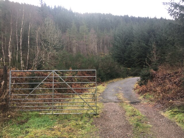
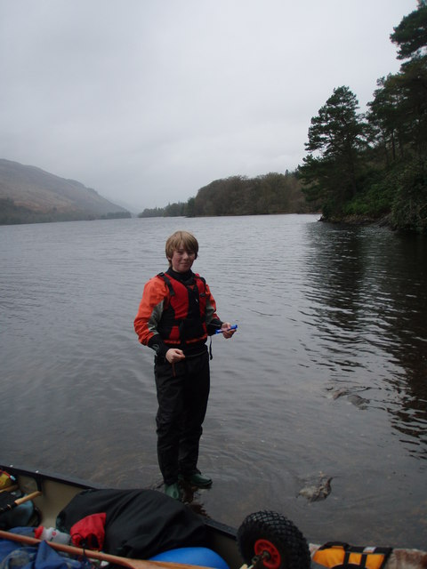
Cam Linne Images

Images are sourced within 2km of 57.125269/-4.7230043 or Grid Reference NH3507. Thanks to Geograph Open Source API. All images are credited.

Forest road, Auchteraw
New path, Auchteraw A path now follows the power line linking up with a new road further along. This makes a good circular walk with some fine views.
New path, Auchteraw
A path now follows the power line linking up with a new road further along. This makes a good circular walk with some fine views.
Road end There is a new road following the pylons. It is linked to the older road network by a well built path forming a loop.
Road end
There is a new road following the pylons. It is linked to the older road network by a well built path forming a loop.
Forestry access near Aberchalder
Farm track near Fort Augustus
Gravel road to Coiltry
Minor road at Auchteraw Looking westward.
The road on the left gives access to Fort Augustus electricity sub-station.
Minor road at Auchteraw
Looking westward. The road on the left gives access to Fort Augustus electricity sub-station.
Minor road at Achteraw House Looking south-westward.
Minor road at Achteraw House
Looking south-westward.
Minor road at Auchteraw Looking south-westward.
Minor road at Auchteraw
Looking south-westward.
Minor road joining the A82 near Loch Uanagan Looking south-westward.
Minor road joining the A82 near Loch Uanagan
Looking south-westward.
A82 south of Fort Augustus Work on new hill track, for Beauly-Denny replacement power line works, at Loch Uanagan holds up the traffic.
A82 south of Fort Augustus
Work on new hill track, for Beauly-Denny replacement power line works, at Loch Uanagan holds up the traffic.
Loch Uanagan by the A82 A small loch near Fort Augustus
Loch Uanagan by the A82
A small loch near Fort Augustus
Loch Uanagan A small Loch near Fort Augustus
Loch Uanagan
A small Loch near Fort Augustus
Upgraded road junction A82 Improvements to sight lines at a minor road junction south of Fort Augustus
Upgraded road junction A82
Improvements to sight lines at a minor road junction south of Fort Augustus
Caledonian Canal, near Coiltry
Caledonian Canal
Caledonian Canal
Heading north on the A82 The old military road head through forest lands near Coiltry.
Heading north on the A82
The old military road head through forest lands near Coiltry.
The Great Glen Way and Caledonian Canal
Show me another place!

Cam Linne is located at Grid Ref: NH3507 (Lat: 57.125269, Lng: -4.7230043)

Unitary Authority: Highland

Police Authority: Highlands and Islands

What 3 Words

///advancing.pirates.tones. Near Cannich, Highland

Nearby Locations

Cam Linne

Related Wikis

Scottish Highlands

The Highlands (Scots: the Hielands; Scottish Gaelic: a' Ghàidhealtachd [ə ˈɣɛːəl̪ˠt̪ʰəxk], "the place of the Gaels") is a historical region of Scotland...

Caledonian Forest

The Caledonian Forest is the ancient (old-growth) temperate forest of Scotland. The forest today is a reduced-extent version of the pre-human-settlement...

Caledonian Canal

The Caledonian Canal connects the Scottish east coast at Inverness with the west coast at Corpach near Fort William in Scotland. The canal was constructed...

Fort Augustus railway station

Fort Augustus was a railway station in Inverness-shire, Scotland on the Invergarry and Fort Augustus Railway between 1903 and 1946. == Overview == The...

Nearby Amenities

Located within 500m of 57.125269,-4.7230043
Source: Landsat photo
Lat/Long: 57.1249591/-4.7185013
Source: Landsat photo
Lat/Long: 57.124702/-4.7195365
Source: Landsat photo
Lat/Long: 57.124713/-4.7205695
Source: Landsat photo
Lat/Long: 57.12543/-4.7209348
Source: Landsat photo
Lat/Long: 57.1255967/-4.7215414
Source: Landsat photo
Lat/Long: 57.1251774/-4.7230563
Source: Landsat photo
Lat/Long: 57.1238184/-4.7242666
Source: Landsat photo
Lat/Long: 57.1234506/-4.7249816
Source: Landsat photo
Lat/Long: 57.1222584/-4.7250186
Source: Landsat photo
Lat/Long: 57.1219156/-4.7250782
Waterway: lock_gate
Lat/Long: 57.1226974/-4.7219213
Source: Landsat photo
Lat/Long: 57.1241454/-4.7173811
Source: Landsat photo
Lat/Long: 57.1240691/-4.7162983
Waterway: lock_gate
Lat/Long: 57.1223787/-4.7225563
Leisure: picnic_table
Source: survey
Lat/Long: 57.1262065/-4.7270613
Bench
Lat/Long: 57.1259005/-4.7161822
Leisure: picnic_table
Source: survey
Lat/Long: 57.1262086/-4.7267555
Bench
Lat/Long: 57.125534/-4.7175956
Bench
Backrest: yes
Lat/Long: 57.1223706/-4.7228918
Addr Housename: Eriskay Cottage
Lat/Long: 57.1223382/-4.7219303
Addr Housename: Sandray Cottage
Lat/Long: 57.1223902/-4.7218345
Kytra Lock
Place: hamlet
Lat/Long: 57.1225238/-4.7219764
Power: pole
Lat/Long: 57.1278779/-4.7297434
Power: pole
Lat/Long: 57.1283289/-4.7288197
Power: pole
Lat/Long: 57.1287856/-4.7278944
Kytra Lock
Caravans: no
Description: ilInformal campsite mentioned on an information board. Maximum 3 tents or 6 persons. Great Glen Wayfarers only.
Drinking Water: yes
Power Supply: no
Shower: no
Tents: yes
Toilets: no
Tourism: camp_site
Wheelchair: yes
Lat/Long: 57.1219152/-4.7228071
The data included in this document is from www.openstreetmap.org. The data is made available under ODbL.

Have you been to Cam Linne?

Leave your review of Cam Linne below (or comments, questions and feedback).