Llyn Garreg-lwyd

Lake, Pool, Pond, Freshwater Marsh in Anglesey

Wales

Llyn Garreg-lwyd

Ruined building at Cae Nethor Along the lane to Trefadog.
Ruined building at Cae Nethor Credit: Mat Fascione

The requested URL returned error: 429 Too Many Requests

If you have any feedback on the listing, please let us know in the comments section below.

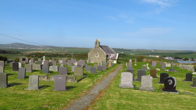
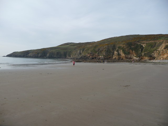
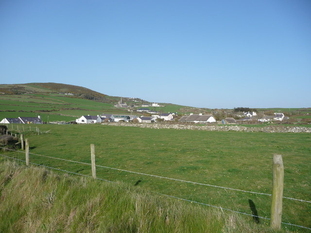
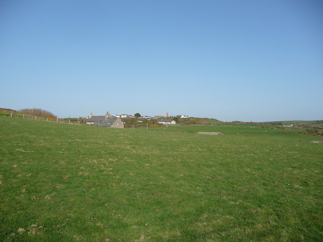
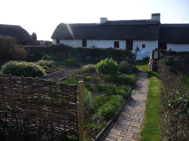
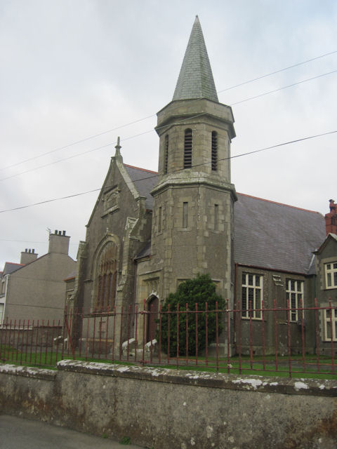
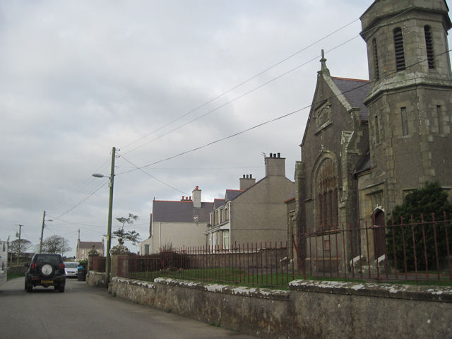
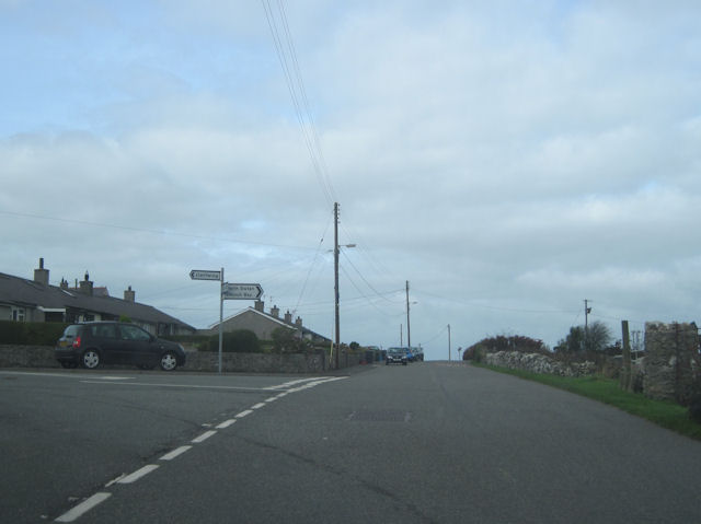
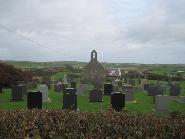
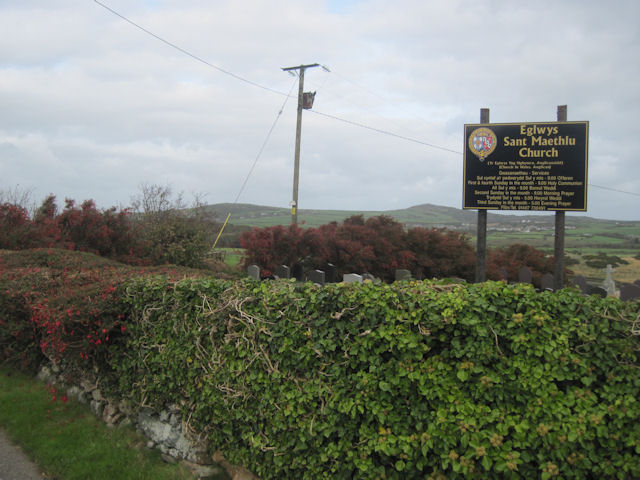
Llyn Garreg-lwyd Images

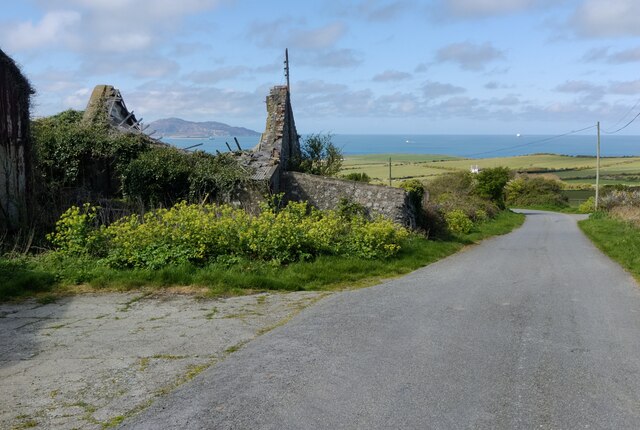
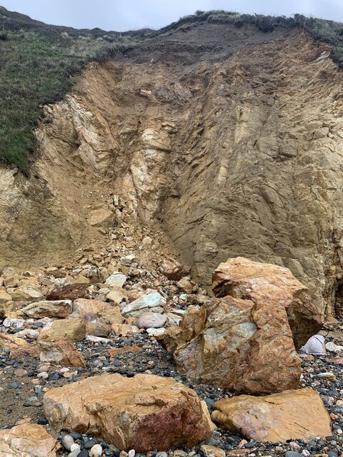
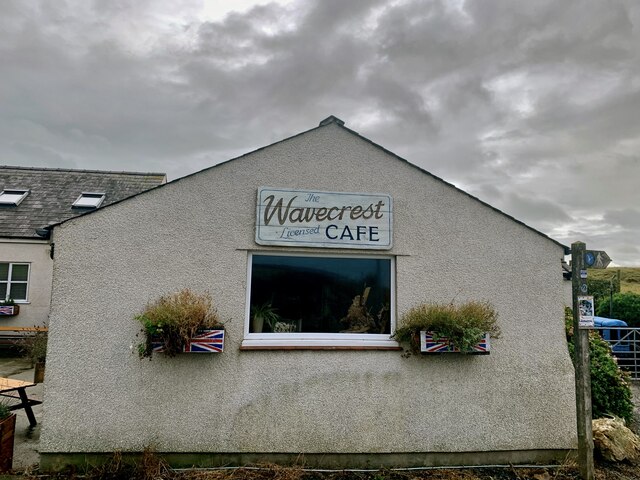
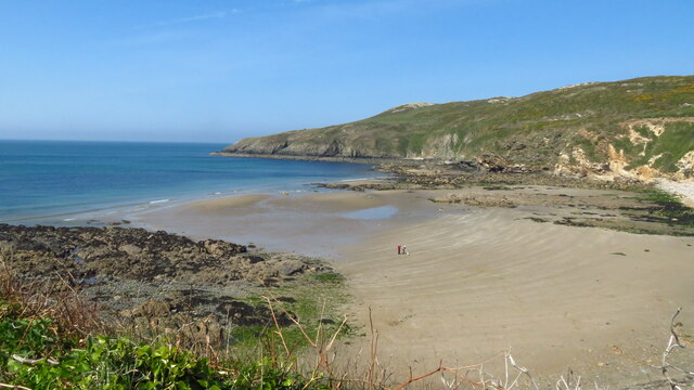
Images are sourced within 2km of 53.365049/-4.5320508 or Grid Reference SH3188. Thanks to Geograph Open Source API. All images are credited.

Ruined building at Cae Nethor Along the lane to Trefadog.
Ruined building at Cae Nethor
Along the lane to Trefadog.
Rockfall at Porth Swtan A considerable chunk of the cliff at the back of Porth Swtan (Church Bay) beach has collapsed.
Rockfall at Porth Swtan
A considerable chunk of the cliff at the back of Porth Swtan (Church Bay) beach has collapsed.
Wavecrest Café, Porth Swtan Closed now for the season.
Wavecrest Café, Porth Swtan
Closed now for the season.
Church Bay near Rhydwyn, Anglesey
Llanfaethlu - St Maethlu's Church
The sands of Church Bay / Porth Swtan, Anglesey Porth Swtan or Church Bay is a gem of a sandy cove with  a large-ish expanse of flat firm sand at low tide.
The sands of Church Bay / Porth Swtan, Anglesey
Porth Swtan or Church Bay is a gem of a sandy cove with a large-ish expanse of flat firm sand at low tide.
Campsite above Church Bay / Porth Swtan Porth Swtan gets its name from the thatched whitewashed building seen here adjacent to this campsite, a rare survivor and the last thatched building on Anglesey, called Swtan. The campsite is ideally located next to coastal paths and a short walk from the sandy bay.
Campsite above Church Bay / Porth Swtan
Porth Swtan gets its name from the thatched whitewashed building seen here adjacent to this campsite, a rare survivor and the last thatched building on Anglesey, called Swtan. The campsite is ideally located next to coastal paths and a short walk from the sandy bay.
Barbed wire fence beside the coastal path The coastal path here borders fields adjacent to the Swtan, the last surviving thatched dwelling on Anglesey, a tyddyn or smallholding lived in until the 1960's, when its old roof beams collapsed and since when it has been restored as a museum.
Barbed wire fence beside the coastal path
The coastal path here borders fields adjacent to the Swtan, the last surviving thatched dwelling on Anglesey, a tyddyn or smallholding lived in until the 1960's, when its old roof beams collapsed and since when it has been restored as a museum.
Ruined windmill inland of the coastal path The tower of this old windmill stands out inland of the path.
Ruined windmill inland of the coastal path
The tower of this old windmill stands out inland of the path.
The last thatched cottage on Anglesey at Porth Swtan This building now serves as a folk museum, recreating the tyddyn or smallholding plot held by a family here before its dereliction in the 1960's.
The last thatched cottage on Anglesey at Porth Swtan
This building now serves as a folk museum, recreating the tyddyn or smallholding plot held by a family here before its dereliction in the 1960's.
The frontage of Swtan thatched tyddyn at Church Bay The main building is whitewashed and restored along with this outbuilding and the vegetable garden.
The frontage of Swtan thatched tyddyn at Church Bay
The main building is whitewashed and restored along with this outbuilding and the vegetable garden.
Recreated vegetable garden at Swtan This thatched cottage and its immediate plot recreates life for the past residents, with a sheltered plot here for basic staple foods such as spuds, beans and other veg. It is maintained by local Women's Institute volunteers I believe.
Recreated vegetable garden at Swtan
This thatched cottage and its immediate plot recreates life for the past residents, with a sheltered plot here for basic staple foods such as spuds, beans and other veg. It is maintained by local Women's Institute volunteers I believe.
Llanrhyddlad church
Llanrhyddlad church
Road past Llanrhyddlad church
A5025 close to Llanrhyddlad School Turning on right for Church Bay
A5025 close to Llanrhyddlad School
Turning on right for Church Bay
Road junction in Llanfaethlu Just before Saint Mathleu Church - on the right
Road junction in Llanfaethlu
Just before Saint Mathleu Church - on the right
Eglwys Sant Maethlu, Llanfaethlu
Eglwys Sant Maethlu, Llanfaethlu Sign
Show me another place!

Llyn Garreg-lwyd is located at Grid Ref: SH3188 (Lat: 53.365049, Lng: -4.5320508)

Unitary Authority: Isle of Anglesey

Police Authority: North Wales

What 3 Words

///cello.toned.deserved. Near Llanfaethlu, Isle of Anglesey

Related Wikis

Menai Bach, Rhydwyn

Menai Bach is a Grade II listed building in Rhydwyn, rural north west Anglesey, Wales. It is a C19 terraced house. A date stone offset to the left of the...

Rhydwyn

Rhydwyn (; Rhyd-Wyn) is a village in the community of Cylch-y-Garn, in the north west of Anglesey, Wales. Rhydwyn is named after a little stream that once...

Bodwyn

Bodwyn, Llanrhuddlad is a hamlet in the community of Cylch-y-Garn, Isle of Anglesey, Wales, which is 142 miles (229 km) from Cardiff and 225 miles (362...

Carreglwyd

Carreglwyd is a Georgian country house, on the northwest of the Isle of Anglesey, about 1 km NW of Llanfaethlu in Wales, at grid reference SH309878. "Carreglwyd...

Nearby Amenities

Located within 500m of 53.365049,-4.5320508
Direction: 235
Generator Method: photovoltaic
Generator Output Electricity: yes
Generator Solar Modules: 15
Generator Source: solar
Generator Type: solar_photovoltaic_panel
Location: roof
Power: generator
Lat/Long: 53.3691668/-4.5328903
The data included in this document is from www.openstreetmap.org. The data is made available under ODbL.

Have you been to Llyn Garreg-lwyd?

Leave your review of Llyn Garreg-lwyd below (or comments, questions and feedback).