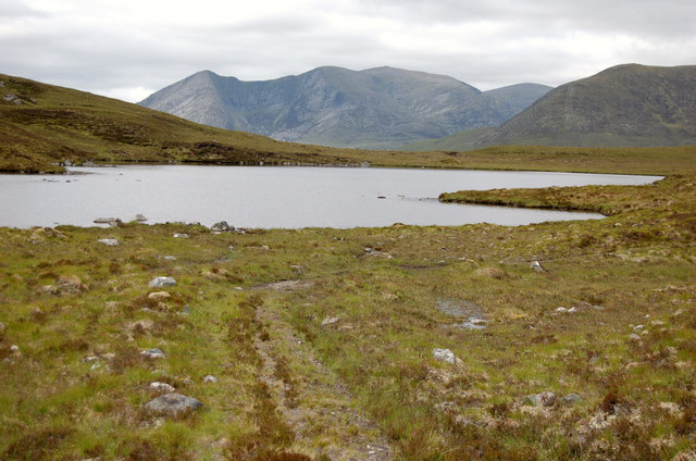
Loch nam Fiadh
Lake, Pool, Pond, Freshwater Marsh in Ross-shire
Scotland
Loch nam Fiadh
The requested URL returned error: 429 Too Many Requests
If you have any feedback on the listing, please let us know in the comments section below.
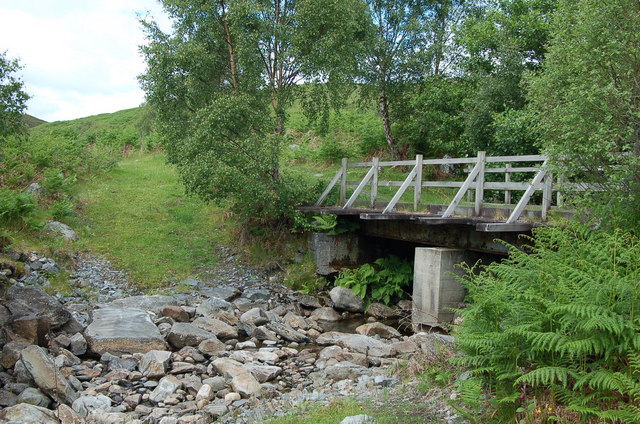
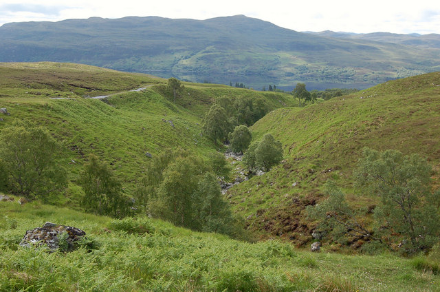
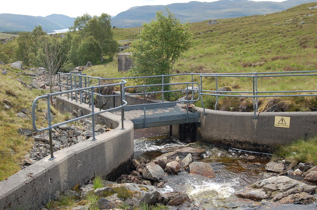
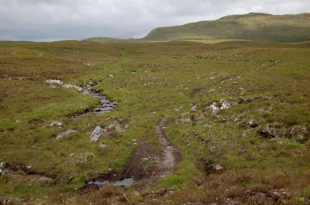
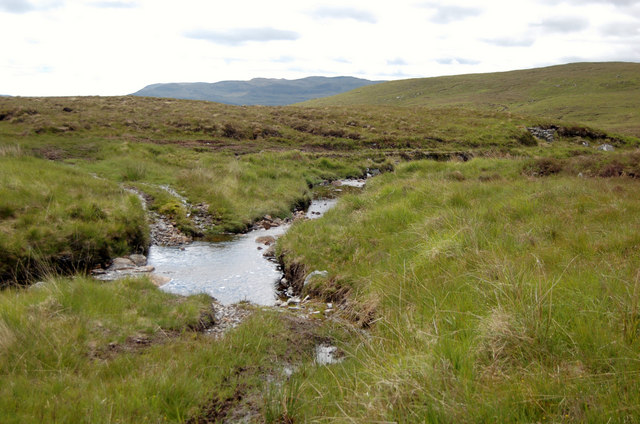
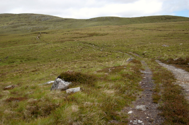
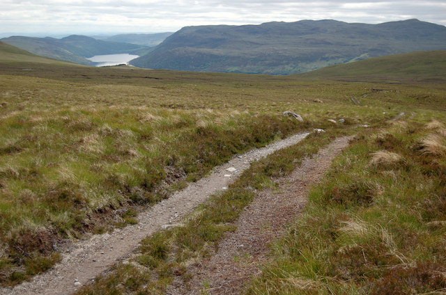
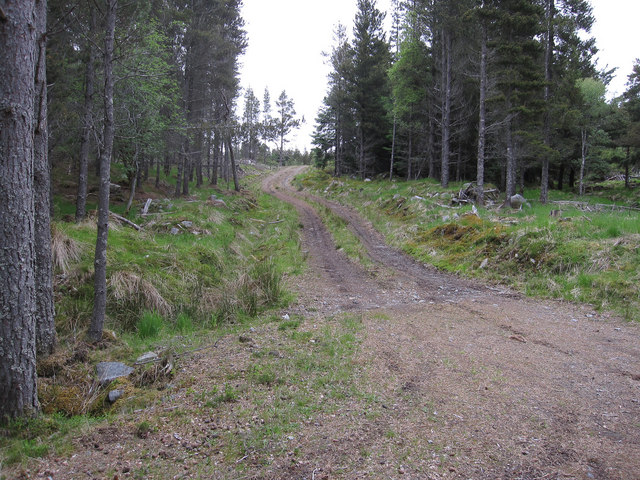
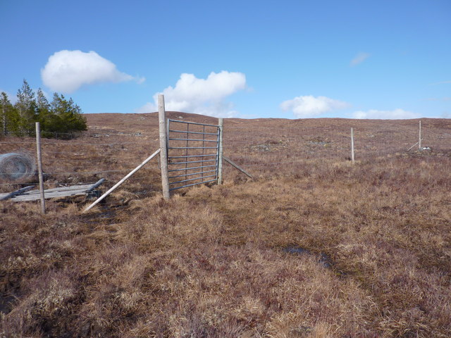
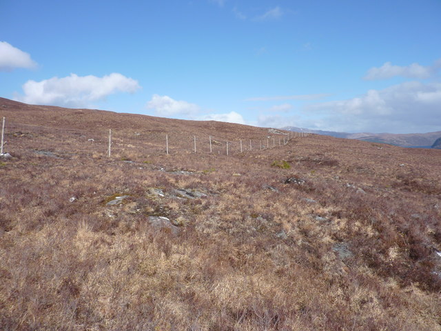
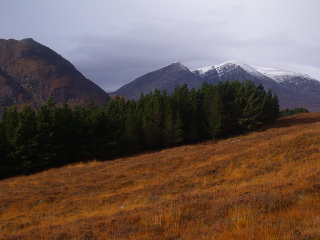
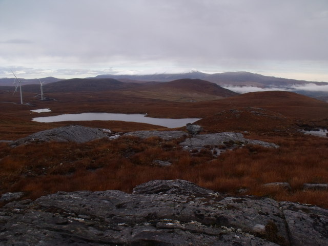
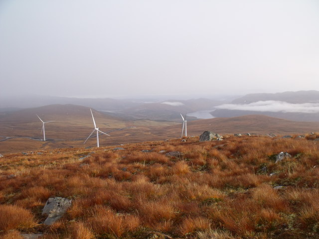
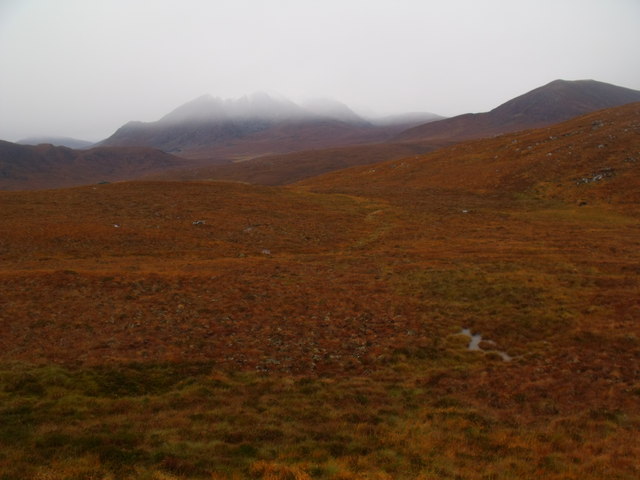
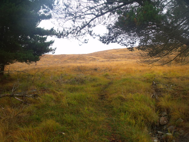
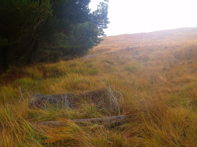
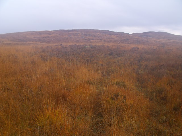
Loch nam Fiadh Images
Images are sourced within 2km of 57.642113/-4.8226887 or Grid Reference NH3164. Thanks to Geograph Open Source API. All images are credited.
Loch nam Fiadh is located at Grid Ref: NH3164 (Lat: 57.642113, Lng: -4.8226887)
Unitary Authority: Highland
Police Authority: Highlands and Islands
What 3 Words
///sobs.marble.clockwork. Near Achnasheen, Highland
Nearby Locations
Related Wikis
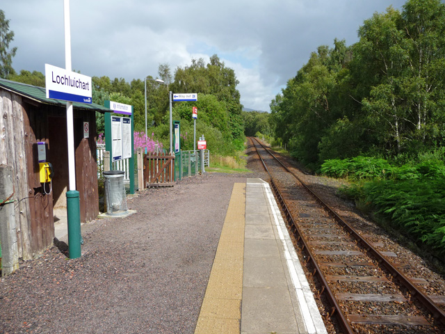
Lochluichart railway station
Lochluichart railway station is a railway station on the Kyle of Lochalsh Line, serving the village of Lochluichart in the north of Scotland. The station...

Grudie
Grudie (Grùididh in Scottish Gaelic) is a village, situated between Loch a' Chuilinn and Loch Luichart with the River Bran flowing past Grudie east to...

A832 road
The A832 is a road in the Scottish Highlands, linking Cromarty, on the east coast, to Gairloch on the west coast, and beyond Gairloch to Braemore Junction...
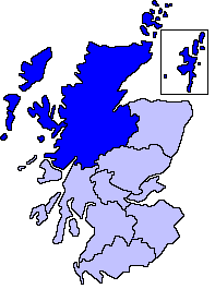
Northern Scotland
Northern Scotland was an administrative division of Scotland used for police and fire services. It consisted of Highland, the Orkney Islands, the Shetland...
Have you been to Loch nam Fiadh?
Leave your review of Loch nam Fiadh below (or comments, questions and feedback).