Loch a' Choire Riabhaich

Lake, Pool, Pond, Freshwater Marsh in Ross-shire

Scotland

Loch a' Choire Riabhaich

Allt Baile na Creige in Strathconon Forest Rough moorland with a view to the burn below the stalkers path.
Allt Baile na Creige in Strathconon Forest Credit: Julian Paren

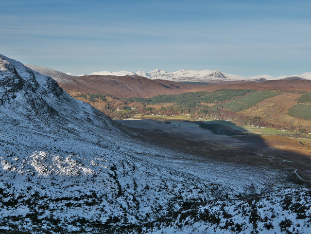
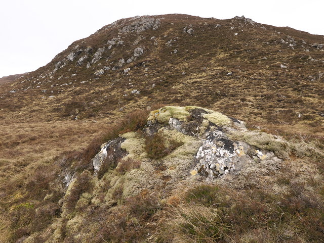
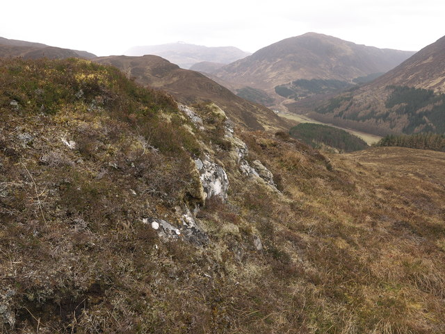
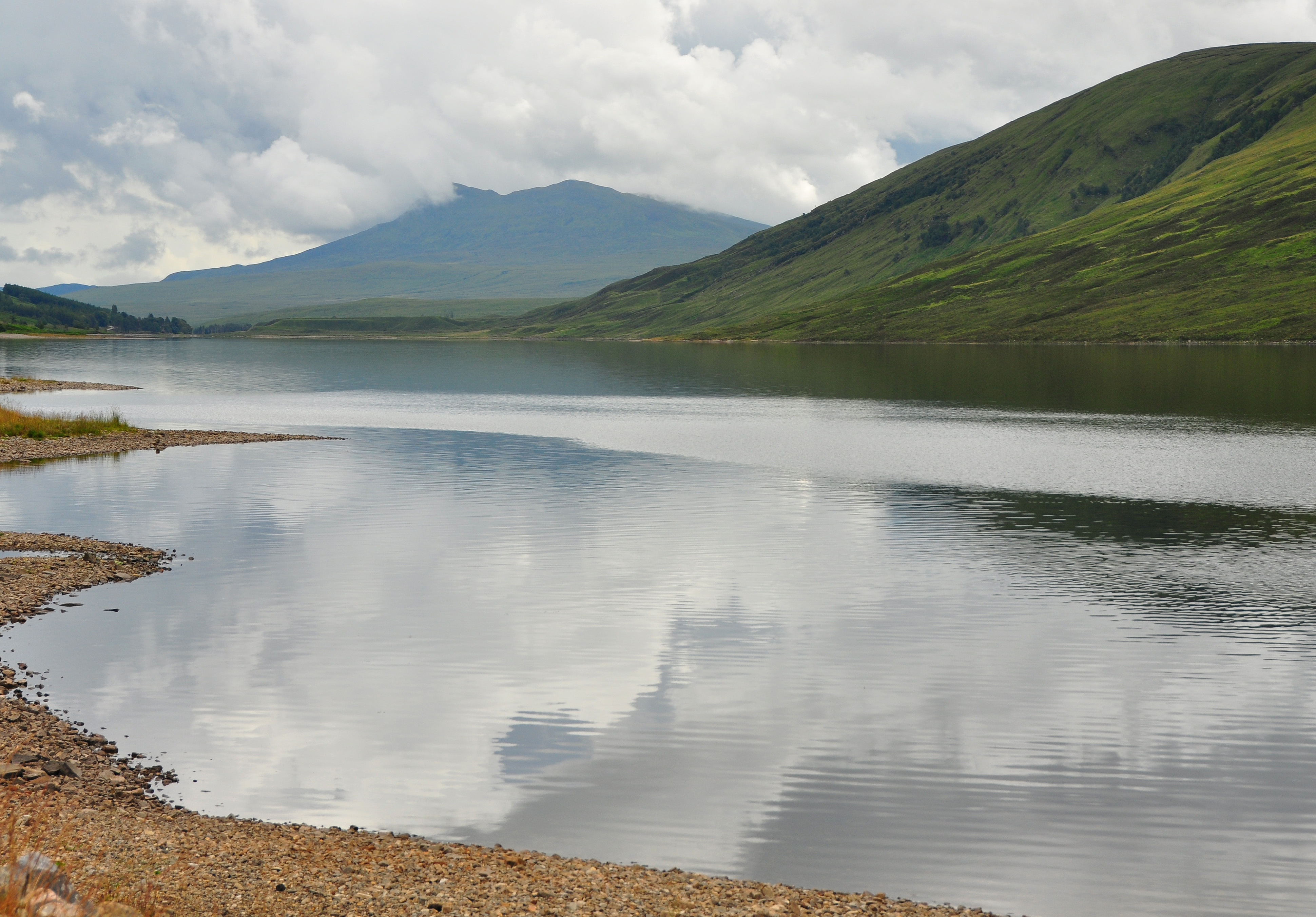
Loch a' Choire Riabhaich is a picturesque freshwater loch located in Ross-shire, Scotland. Nestled amidst the rugged landscapes of the Scottish Highlands, this natural gem is a haven for both wildlife and outdoor enthusiasts alike. The loch is situated in a remote area, surrounded by rolling hills and lush greenery, offering visitors a tranquil and serene atmosphere.

Stretching over an area of approximately 20 acres, Loch a' Choire Riabhaich is relatively small in size but boasts crystal-clear waters that are teeming with various species of fish, making it a popular spot for anglers. The loch is primarily fed by natural springs and streams, ensuring a constant flow of fresh water.

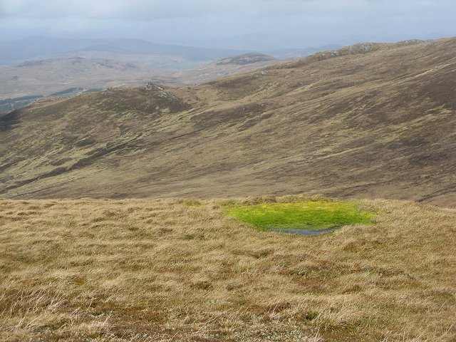
Surrounding the loch, there is a diverse range of vegetation, including reeds, grasses, and water lilies. This creates a vibrant and thriving freshwater marsh ecosystem, providing a habitat for a wide array of bird species and other wildlife. Birdwatchers will be delighted to spot species such as ducks, herons, and occasionally even ospreys.

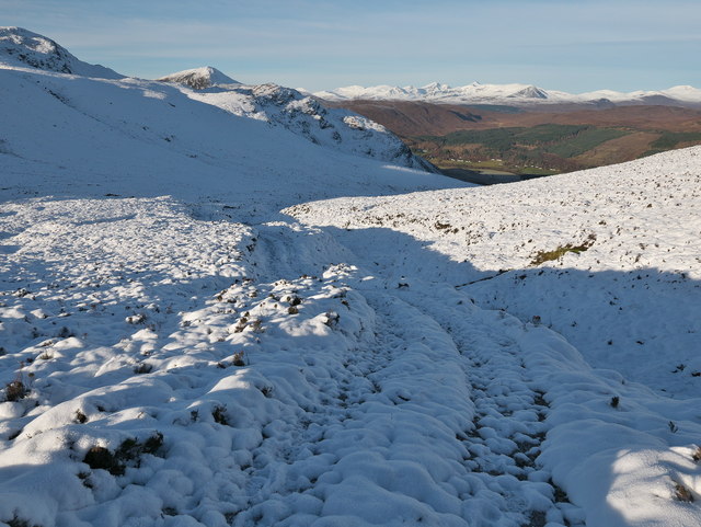
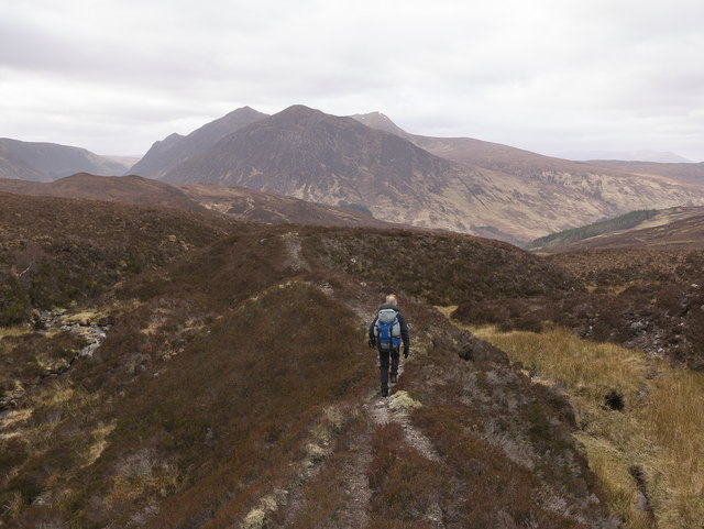
Access to Loch a' Choire Riabhaich is relatively challenging due to its remote location, but this only adds to its untouched beauty and allure. Visitors can enjoy breathtaking views of the surrounding hills and mountains while taking leisurely walks along the shoreline or exploring the nearby trails. The tranquility of this hidden gem offers a perfect opportunity for relaxation and immersion in the unspoiled natural beauty of the Scottish Highlands.

If you have any feedback on the listing, please let us know in the comments section below.

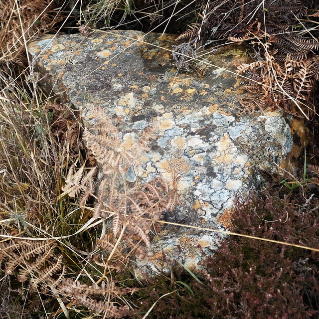
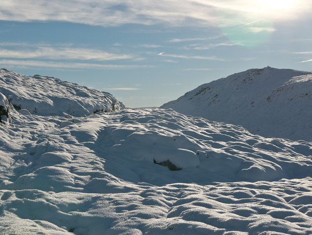
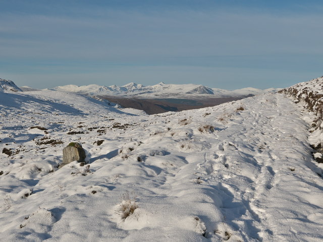
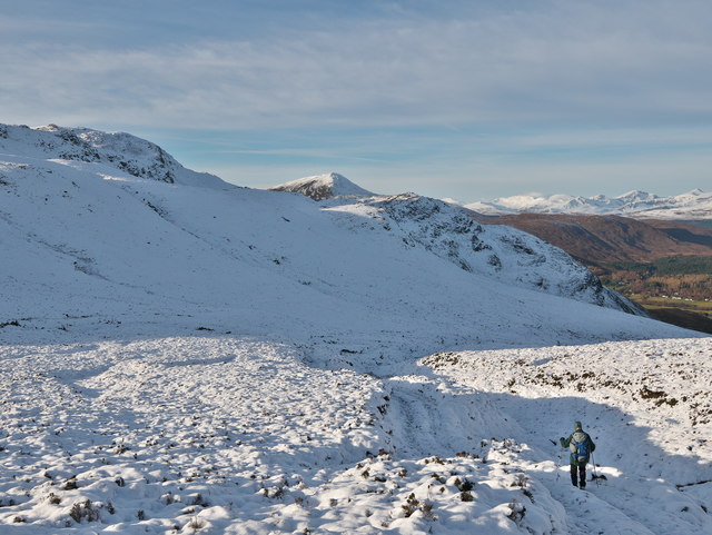
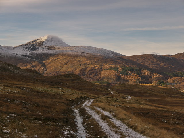
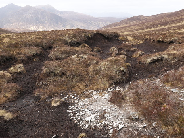
Loch a' Choire Riabhaich Images

Images are sourced within 2km of 57.531901/-4.813992 or Grid Reference NH3152. Thanks to Geograph Open Source API. All images are credited.

Allt Baile na Creige in Strathconon Forest Rough moorland with a view to the burn below the stalkers path.
Allt Baile na Creige in Strathconon Forest
Rough moorland with a view to the burn below the stalkers path.
Looking down the Allt Baile na Creige Creag Ruadh is the mountain beyond.
Looking down the Allt Baile na Creige
Creag Ruadh is the mountain beyond.
Lichened rock above Strathconon Part of the wider landscape.  Colours very much in keeping with the natural vegetation colours of early April.
Lichened rock above Strathconon
Part of the wider landscape. Colours very much in keeping with the natural vegetation colours of early April.
The frozen south flank of Strathconon above Milton The estate track heads south from Milton into the sunless side of the hills.  The Fannich hills are visible behind the village of Milton which houses the Strathconon Primary School.
The frozen south flank of Strathconon above Milton
The estate track heads south from Milton into the sunless side of the hills. The Fannich hills are visible behind the village of Milton which houses the Strathconon Primary School.
Estate track from Strathconon to Glen Orrin A track that was very slippery due to ice and glazed frozen rock.  It was easier to walk where the snow had accumulated in the higher regions.
Estate track from Strathconon to Glen Orrin
A track that was very slippery due to ice and glazed frozen rock. It was easier to walk where the snow had accumulated in the higher regions.
Carn na Coinnich viewed from the col of the approach track With deep snow the best way of climbing Carn na Coinnich was to take the estate track to the col (610 m) and descend briefly before heading up to the ridge.  The trig point on the summit is visible. 

The line of the estate track is visible despite the blanket of snow.
Carn na Coinnich viewed from the col of the approach track
With deep snow the best way of climbing Carn na Coinnich was to take the estate track to the col (610 m) and descend briefly before heading up to the ridge. The trig point on the summit is visible. The line of the estate track is visible despite the blanket of snow.
Estate track at the col The nameless col is at the head of the track between Strathconon and Glen Orrin. Looking north the Fannichs dominate the skyline and  there are hints of the snowless and sunny Strathconon.
Estate track at the col
The nameless col is at the head of the track between Strathconon and Glen Orrin. Looking north the Fannichs dominate the skyline and there are hints of the snowless and sunny Strathconon.
Milton in Strathconon A view of a world far apart from the deep snow of the hills south of Strathconon.  A reminder too that all is not so easy with the winter mountaineering challenges of the Fannich Hills also apparent.
Milton in Strathconon
A view of a world far apart from the deep snow of the hills south of Strathconon. A reminder too that all is not so easy with the winter mountaineering challenges of the Fannich Hills also apparent.
Descending towards Strathconon on an estate track The last stretch of hillside before leaving the sun and the added difficulties of a very deep-frozen path covered by light snow.  Our destination bathed in sunshine!
Descending towards Strathconon on an estate track
The last stretch of hillside before leaving the sun and the added difficulties of a very deep-frozen path covered by light snow. Our destination bathed in sunshine!
Outlying tree - a survivor The first and last tree (depending on your direction of travel) on the estate track to Glen Orrin.  The track was very icy and care was needed after leaving the easier terriain of deeper snow higher up.
Outlying tree - a survivor
The first and last tree (depending on your direction of travel) on the estate track to Glen Orrin. The track was very icy and care was needed after leaving the easier terriain of deeper snow higher up.
Estate track above Strathconon The lower and flatter section of the track from Strathconon to Glen Orrin.
Estate track above Strathconon
The lower and flatter section of the track from Strathconon to Glen Orrin.
Lochan on the northern spur of Meall Giubhais (663 m) Recorded by OS in their 1:25,000 mapping.
Lochan on the northern spur of Meall Giubhais (663 m)
Recorded by OS in their 1:25,000 mapping.
Peat hags beside the Strathconon to Glen Orrin path They mark the route as a path, but in reality the path appears and disappears.  Here the line of the path could not be seen and the chosen route was through this dry area of peat.
Peat hags beside the Strathconon to Glen Orrin path
They mark the route as a path, but in reality the path appears and disappears. Here the line of the path could not be seen and the chosen route was through this dry area of peat.
Unintended deviation from the mapped path from Strathconon to Glen Orrin Who would have thought this was not the path!!  It lies along a firm bank - better than the wet path indicated on the OS map.
Unintended deviation from the mapped path from Strathconon to Glen Orrin
Who would have thought this was not the path!! It lies along a firm bank - better than the wet path indicated on the OS map.
Unintended deviation from the Strathconon to Glen Orrin path Yet again the path was not the marked one.  The fact is that the real OS path does exist.
Unintended deviation from the Strathconon to Glen Orrin path
Yet again the path was not the marked one. The fact is that the real OS path does exist.
View into Coire Riabhach A previous visit to Strathconon in November during which we planned to traverse Coire Riabhach was frustrated by a request from a gamekeeper to keep away, as it had become a favoured place for encouraging deer to frequent after their descent from the higher hills of the estate. On this occasion deer were seen hereabouts.
View into Coire Riabhach
A previous visit to Strathconon in November during which we planned to traverse Coire Riabhach was frustrated by a request from a gamekeeper to keep away, as it had become a favoured place for encouraging deer to frequent after their descent from the higher hills of the estate. On this occasion deer were seen hereabouts.
Creag a Choire Riabhaich On the hillside above Strathconon.
Creag a Choire Riabhaich
On the hillside above Strathconon.
Meall Giubhais Moorland north of the summit, with a lurid green moss patch in and around a bog pool. Beyond is the glen of the Allt Baile na Creige, which provides another access route to Glen Orrin from Strathconon.
Meall Giubhais
Moorland north of the summit, with a lurid green moss patch in and around a bog pool. Beyond is the glen of the Allt Baile na Creige, which provides another access route to Glen Orrin from Strathconon.
Show me another place!

Loch a' Choire Riabhaich is located at Grid Ref: NH3152 (Lat: 57.531901, Lng: -4.813992)

Unitary Authority: Highland

Police Authority: Highlands and Islands

What 3 Words

///doses.flotation.swung. Near Achnasheen, Highland

Related Wikis

Loch Meig

Loch Meig (Scottish Gaelic: Loch Mìg) is a freshwater loch in Easter Ross, Scotland, 8.1 kilometres (5.0 mi) west of Contin. Situated on the River Meig...

Sgurr a' Mhuilinn

Sgurr a' Mhuilinn (879 m) is a mountain in Highland, Scotland. It lies in a remote location in the Northwest Highlands, approximately 40 miles (64 km)...

Inverchoran

Inverchoran (Scottish Gaelic: Inbhir Chòmhrainn) is a small remote hamlet, situated in the upper reaches of Strathconon, in Ross-shire, in the Highland...
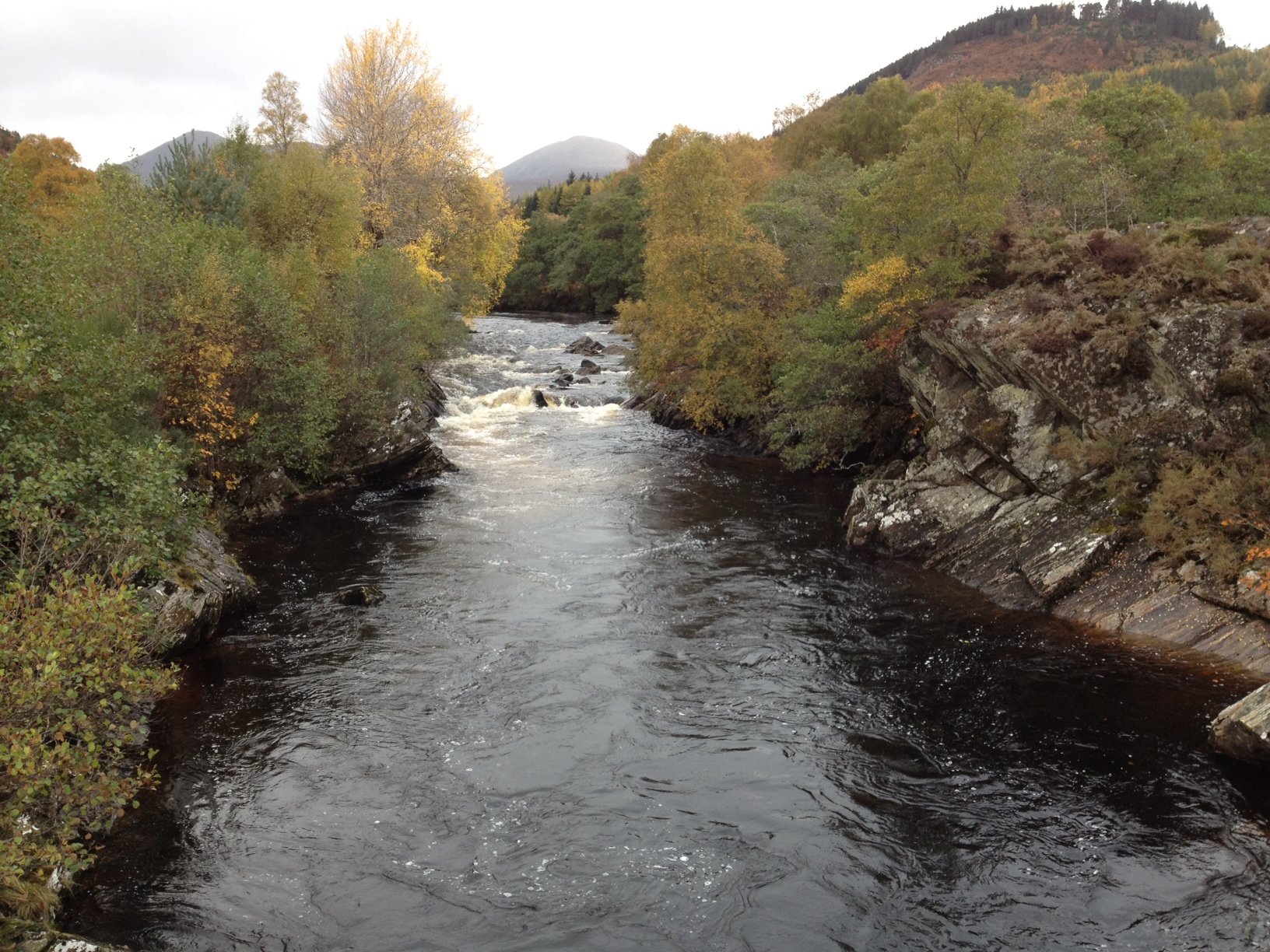
River Meig

The River Meig (Scottish Gaelic: Mìg) is a river in Easter Ross. It draws its source from the meeting of several allts in the forested hills north of Loch...

Have you been to Loch a' Choire Riabhaich?

Leave your review of Loch a' Choire Riabhaich below (or comments, questions and feedback).