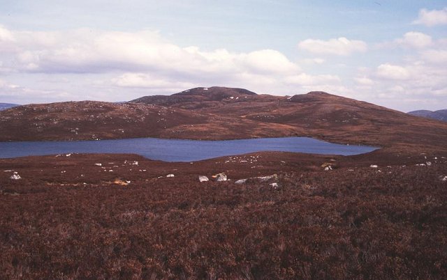
Loch Meall a' Mhadaidh
Lake, Pool, Pond, Freshwater Marsh in Inverness-shire
Scotland
Loch Meall a' Mhadaidh
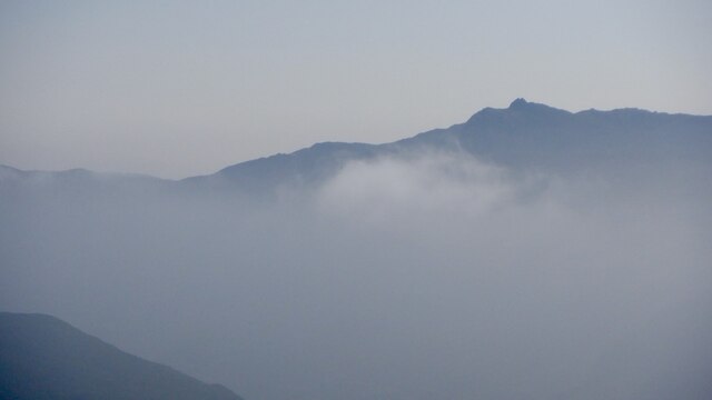
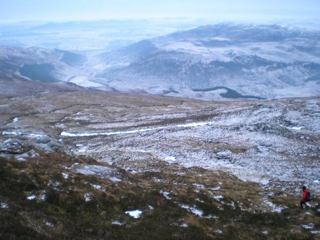
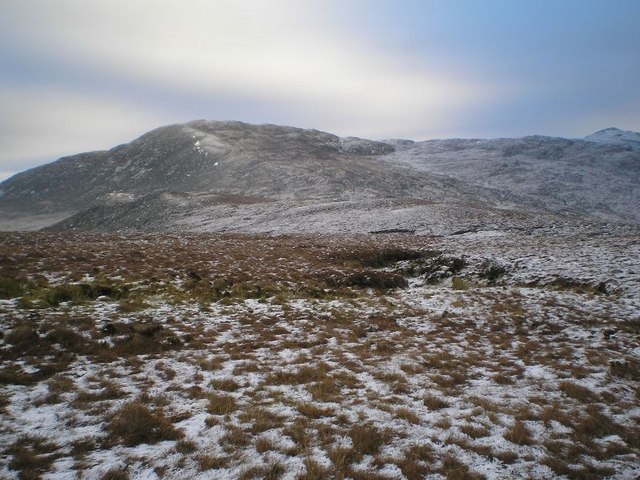
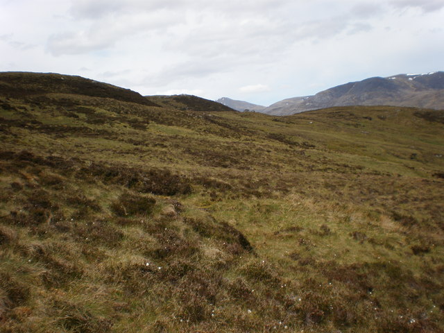
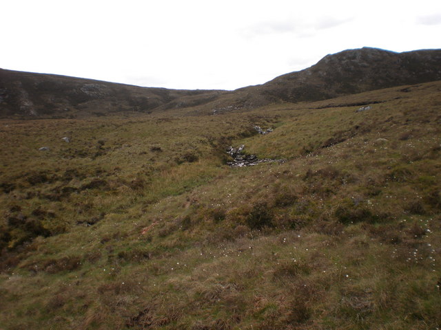
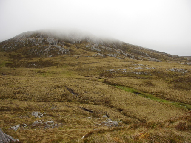
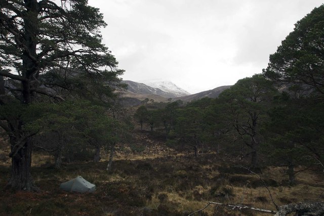
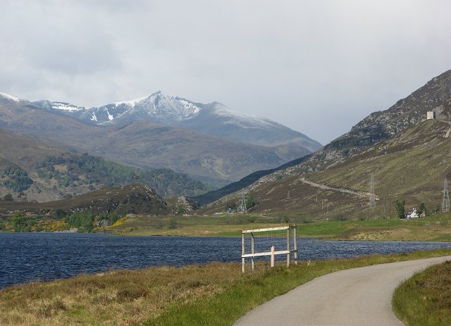
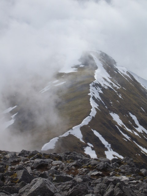
Loch Meall a' Mhadaidh is a picturesque freshwater loch located in Inverness-shire, Scotland. Nestled amidst the scenic beauty of the Scottish Highlands, it is a popular destination for nature lovers and outdoor enthusiasts.
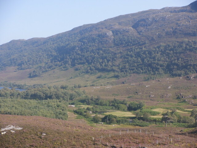
Covering an area of approximately 20 hectares, Loch Meall a' Mhadaidh boasts crystal-clear waters that reflect the surrounding hills and mountains. The loch is surrounded by lush greenery and offers a serene and tranquil atmosphere, making it a perfect spot for relaxation and contemplation.
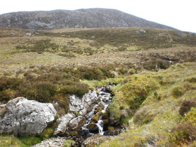
The water in the loch is fed by various small streams and springs, ensuring a constant flow of fresh, clean water. The depth of the loch varies, with some areas being shallow while others reach a depth of around 10 meters.
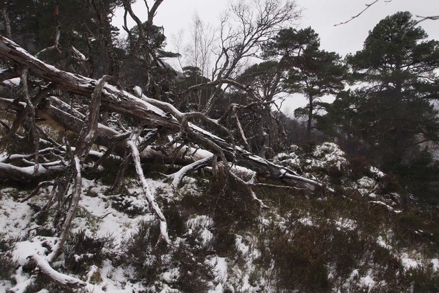
The diverse ecosystem of Loch Meall a' Mhadaidh supports a wide range of flora and fauna. Birdwatchers can spot numerous species of waterfowl, including ducks, geese, and swans. The surrounding marshes are home to various wetland plants, such as reeds and rushes, providing a habitat for insects, amphibians, and small mammals.
Visitors to Loch Meall a' Mhadaidh can enjoy a range of activities. Fishing enthusiasts can try their luck at catching trout, which thrive in the nutrient-rich waters of the loch. The tranquil surroundings make it an ideal place for kayaking, canoeing, and paddleboarding.
Overall, Loch Meall a' Mhadaidh is a hidden gem in the heart of the Scottish Highlands, offering a peaceful retreat for those seeking a connection with nature. Whether it's birdwatching, fishing, or simply enjoying the stunning scenery, this loch provides a memorable experience for all who visit.
If you have any feedback on the listing, please let us know in the comments section below.
Loch Meall a' Mhadaidh Images
Images are sourced within 2km of 57.38775/-4.8375134 or Grid Reference NH2936. Thanks to Geograph Open Source API. All images are credited.
Loch Meall a' Mhadaidh is located at Grid Ref: NH2936 (Lat: 57.38775, Lng: -4.8375134)
Unitary Authority: Highland
Police Authority: Highlands and Islands
What 3 Words
///daunted.rebounds.buyers. Near Cannich, Highland
Nearby Locations
Related Wikis

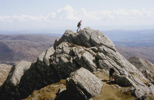
Sgorr na Dìollaid
Sgorr na Dìollaid is a mountain in the Northwest Highlands of Scotland. It is situated between Glen Strathfarrar and Glen Cannich, 7 km north-west of the...
Glen Strathfarrar
Glen Strathfarrar (Scottish Gaelic: Srath Farair) is a glen in the Highland region of Scotland, near Loch Ness. The Glen is part of the Affric-Beauly hydro...

Eas Maol Mhairi
Eas Maol Mhairi is a waterfall of Scotland. Just east of this waterfall is the River Cannich. == See also == Waterfalls of Scotland == References ==
Cannich
Cannich (Gaelic: Canaich) is a village at the southern end of Strathglass, in the Highlands of Scotland, about 26 miles (42 km) west of the city of Inverness...
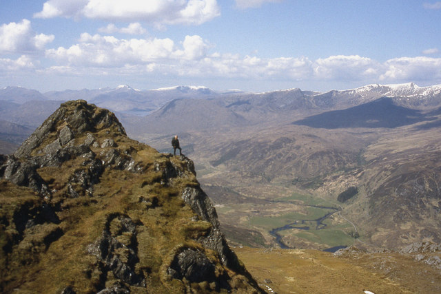
Sgùrr a' Choire Ghlais
Sgurr a' Choire Ghlais is a mountain in the North-west Highlands of Scotland. It lies between Glen Strathfarrar and Glen Orrin and it is an excellent viewpoint...
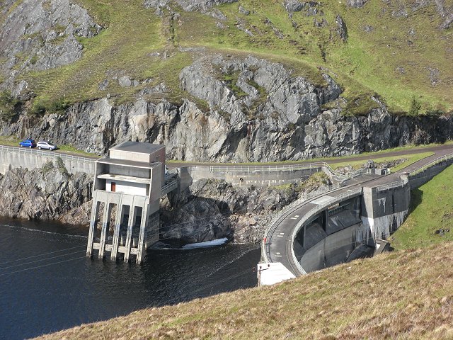
Affric-Beauly hydro-electric power scheme
The Affric-Beauly hydro-electric power scheme for the generation of hydro-electric power is located in the western Highlands of Scotland. It is based around...

Càrn nan Gobhar (Strathfarrar)
Càrn nan Gobhar is a mountain rising to 992 metres (3,255 ft) in the Northwest Highlands of Scotland. It lies north of Glen Strathfarrar and south of Glen...

Strathglass
Strathglass is a strath or wide and shallow valley in the Northwest Highlands of Scotland down which runs the meandering River Glass from the point at...
Have you been to Loch Meall a' Mhadaidh?
Leave your review of Loch Meall a' Mhadaidh below (or comments, questions and feedback).